<< Our Photo Pages >> Beeston Castle - Hillfort in England in Cheshire
Submitted by Andy B on Friday, 09 May 2025 Page Views: 18666
Iron Age and Later PrehistorySite Name: Beeston CastleCountry: England County: Cheshire Type: Hillfort
Nearest Town: Nantwich Nearest Village: Beeston
Map Ref: SJ538592 Landranger Map Number: 117
Latitude: 53.127952N Longitude: 2.691899W
Condition:
| 5 | Perfect |
| 4 | Almost Perfect |
| 3 | Reasonable but with some damage |
| 2 | Ruined but still recognisable as an ancient site |
| 1 | Pretty much destroyed, possibly visible as crop marks |
| 0 | No data. |
| -1 | Completely destroyed |
| 5 | Superb |
| 4 | Good |
| 3 | Ordinary |
| 2 | Not Good |
| 1 | Awful |
| 0 | No data. |
| 5 | Can be driven to, probably with disabled access |
| 4 | Short walk on a footpath |
| 3 | Requiring a bit more of a walk |
| 2 | A long walk |
| 1 | In the middle of nowhere, a nightmare to find |
| 0 | No data. |
| 5 | co-ordinates taken by GPS or official recorded co-ordinates |
| 4 | co-ordinates scaled from a detailed map |
| 3 | co-ordinates scaled from a bad map |
| 2 | co-ordinates of the nearest village |
| 1 | co-ordinates of the nearest town |
| 0 | no data |
Internal Links:
External Links:
I have visited· I would like to visit
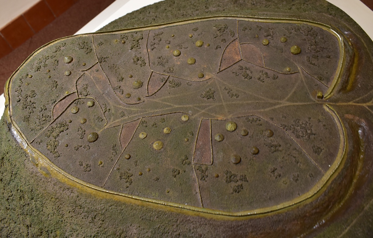
drolaf visited on 7th May 2025 - their rating: Cond: 3 Amb: 5 Access: 3 you have to be a tourist for this one-National trust. some deep ditches/high banks. models in the visitor centre show the development of the site from Bronze age -Iron age to medieval. a proper good palimpset. they sell fruit wines and spirits in the shop very yummy. very long distance views from the top.
peter56 visited on 1st Jan 1999 - their rating: Cond: 2 Amb: 4 Access: 4
SumDoood visited - their rating: Cond: 2 Amb: 2 Access: 3
Modern-Neolithic saw from a distance - their rating: Amb: 4 Access: 3
TimPrevett have visited here
Average ratings for this site from all visit loggers: Condition: 2.33 Ambience: 3.75 Access: 3.25
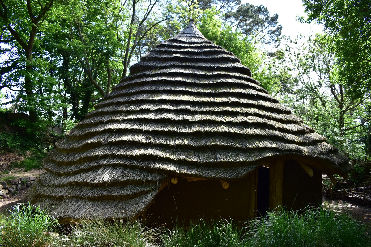
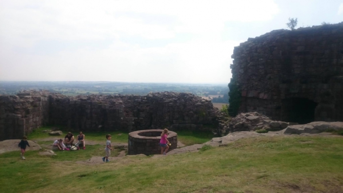
Offering stunning views from the Pennines in the east to the mountains of Wales in the west, the hilltop was occupied as early as 800BC in the Late Bronze Age and was later crowned by an Iron Age hillfort.
The site is protected to the north, west and south-west by steep slopes and was approached to the south-east where the entrance of the later castle still survives today. Evidence for prehistoric activity first came to light in 1978 when a socketed axe of Later Bronze Age date was discovered on the hill itself. This prompted an archaeological excavation in which several important finds, including evidence for bronze casting discussed previously came to light. In addition to the metal finds, numerous fragments of prehistoric pottery and post-holes were uncovered showing the site had a long history of occupation.
In the care of English Heritage, Previous update below: Hillfort Glow was a successful test of possible Iron Age communication. Page originally by Vicky M.
You may be viewing yesterday's version of this page. To see the most up to date information please register for a free account.



Do not use the above information on other web sites or publications without permission of the contributor.
Click here to see more info for this site
Nearby sites
Key: Red: member's photo, Blue: 3rd party photo, Yellow: other image, Green: no photo - please go there and take one, Grey: site destroyed
Download sites to:
KML (Google Earth)
GPX (GPS waypoints)
CSV (Garmin/Navman)
CSV (Excel)
To unlock full downloads you need to sign up as a Contributory Member. Otherwise downloads are limited to 50 sites.
Turn off the page maps and other distractions
Nearby sites listing. In the following links * = Image available
1.6km SSE 161° Peckforton Mere* Ancient Village or Settlement (SJ543577)
3.8km ENE 79° Robin Hood's Tump* Round Barrow(s) (SJ575599)
4.2km NNE 19° Salterswell* Holy Well or Sacred Spring (SJ552632)
6.2km NW 318° Brookhouse Farm Ancient Village or Settlement (SJ497639)
7.2km NNE 13° High Billinge* Round Barrow(s) (SJ5548066242)
7.5km SSW 212° Maiden Castle (Cheshire)* Hillfort (SJ49805286)
7.5km WSW 238° St Winefride's (Clutton)* Holy Well or Sacred Spring (SJ47395524)
7.8km N 7° Whistlebitch Well* Holy Well or Sacred Spring (SJ548669)
8.2km NNE 17° Seven Lows Round Barrow(s) (SJ56336703)
8.3km N 355° Kelsborrow Castle* Hillfort (SJ5315567509)
8.4km NNE 20° Seven Lows* Round Barrow(s) (SJ567671)
9.3km SW 233° Carden Park* Cave or Rock Shelter (SJ463537)
9.3km SW 232° Carden Park Barrow Round Barrow(s) (SJ46365352)
9.4km NNE 23° Oakmere* Ancient Village or Settlement (SJ576678)
9.6km N 358° Delamere Stone Circle (SJ536688)
10.3km N 8° Castle Ditch Eddisbury* Hillfort (SJ553694)
10.4km NE 35° Long Stone Cross* Ancient Cross (SJ599677)
11.2km ESE 123° Church of St Mary the Virgin (Acton)* Ancient Cross (SJ63175308)
12.5km NNE 14° Gallowsclough Cob* Round Barrow(s) (SJ570713)
13.0km ESE 121° Old Biot* Holy Well or Sacred Spring (SJ64965243)
13.1km WSW 254° Churton* Long Barrow (SJ411558)
13.1km WSW 256° Knowl Plantation Barrow Cemetery (SJ410561)
13.4km ESE 121° Nantwich Museum Museum (SJ6519352172)
13.4km N 359° Glead Hill Cob Round Barrow(s) (SJ538726)
13.4km W 266° Poulton Timber Circle* Ancient Village or Settlement (SJ4033558472)
View more nearby sites and additional images


 We would like to know more about this location. Please feel free to add a brief description and any relevant information in your own language.
 Wir möchten mehr über diese Stätte erfahren. Bitte zögern Sie nicht, eine kurze Beschreibung und relevante Informationen in Deutsch hinzuzufügen.
 Nous aimerions en savoir encore un peu sur les lieux. S'il vous plaît n'hesitez pas à ajouter une courte description et tous les renseignements pertinents dans votre propre langue.
 Quisieramos informarnos un poco más de las lugares. No dude en añadir una breve descripción y otros datos relevantes en su propio idioma.