<< Our Photo Pages >> Four Stones Hill Standing Stones - Standing Stones in England in Cumbria
Submitted by nicoladidsbury on Saturday, 06 December 2003 Page Views: 11324
Neolithic and Bronze AgeSite Name: Four Stones Hill Standing StonesCountry: England County: Cumbria Type: Standing Stones
Nearest Town: Penrith
Map Ref: NY48951620 Landranger Map Number: 90
Latitude: 54.538479N Longitude: 2.790515W
Condition:
| 5 | Perfect |
| 4 | Almost Perfect |
| 3 | Reasonable but with some damage |
| 2 | Ruined but still recognisable as an ancient site |
| 1 | Pretty much destroyed, possibly visible as crop marks |
| 0 | No data. |
| -1 | Completely destroyed |
| 5 | Superb |
| 4 | Good |
| 3 | Ordinary |
| 2 | Not Good |
| 1 | Awful |
| 0 | No data. |
| 5 | Can be driven to, probably with disabled access |
| 4 | Short walk on a footpath |
| 3 | Requiring a bit more of a walk |
| 2 | A long walk |
| 1 | In the middle of nowhere, a nightmare to find |
| 0 | No data. |
| 5 | co-ordinates taken by GPS or official recorded co-ordinates |
| 4 | co-ordinates scaled from a detailed map |
| 3 | co-ordinates scaled from a bad map |
| 2 | co-ordinates of the nearest village |
| 1 | co-ordinates of the nearest town |
| 0 | no data |
Internal Links:
External Links:
I have visited· I would like to visit
Anne T couldn't find on 2nd Apr 2017 - their rating: Access: 3 Four Stones Hill, Haweswater: Ashamed to say I was defeated by the large stiles with big drops and missing steps. Was so looking forward to going to see this site and from Google Earth, it seemed possible for me to walk this route. Did look for gates in the fields to avoid the stiles, but up by Lower Drybarrows, couldn't find any entry/exits; the one there was said very clearly "no public right of way". Perhaps I should have ignored those and tramped through the fields anyway, but it would have left me feeling guilty. Will try again. Note to self: parking was very difficult up by Winder Hill. Needed to wedge the car in besides a stone wall to leave ready access to the fields.
nicoladidsbury have visited here
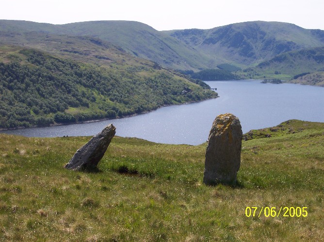
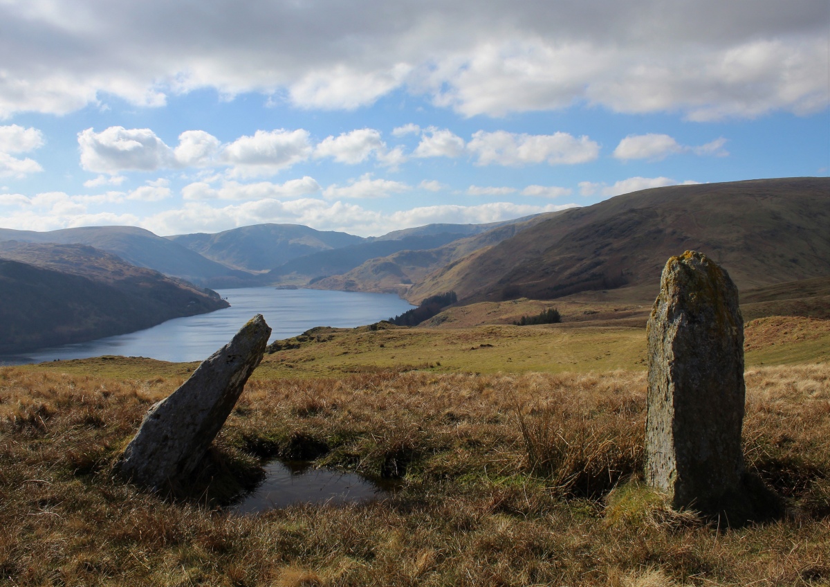
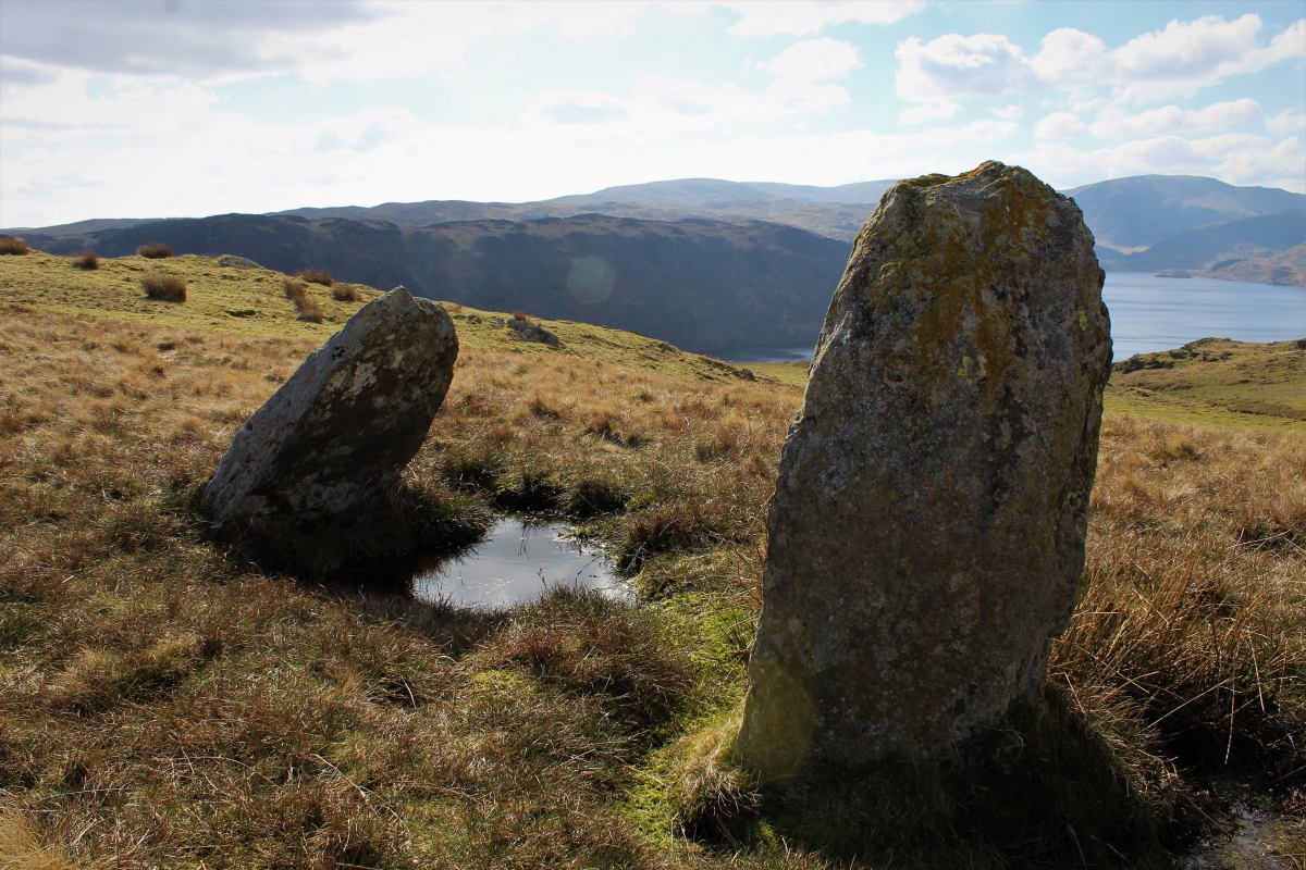
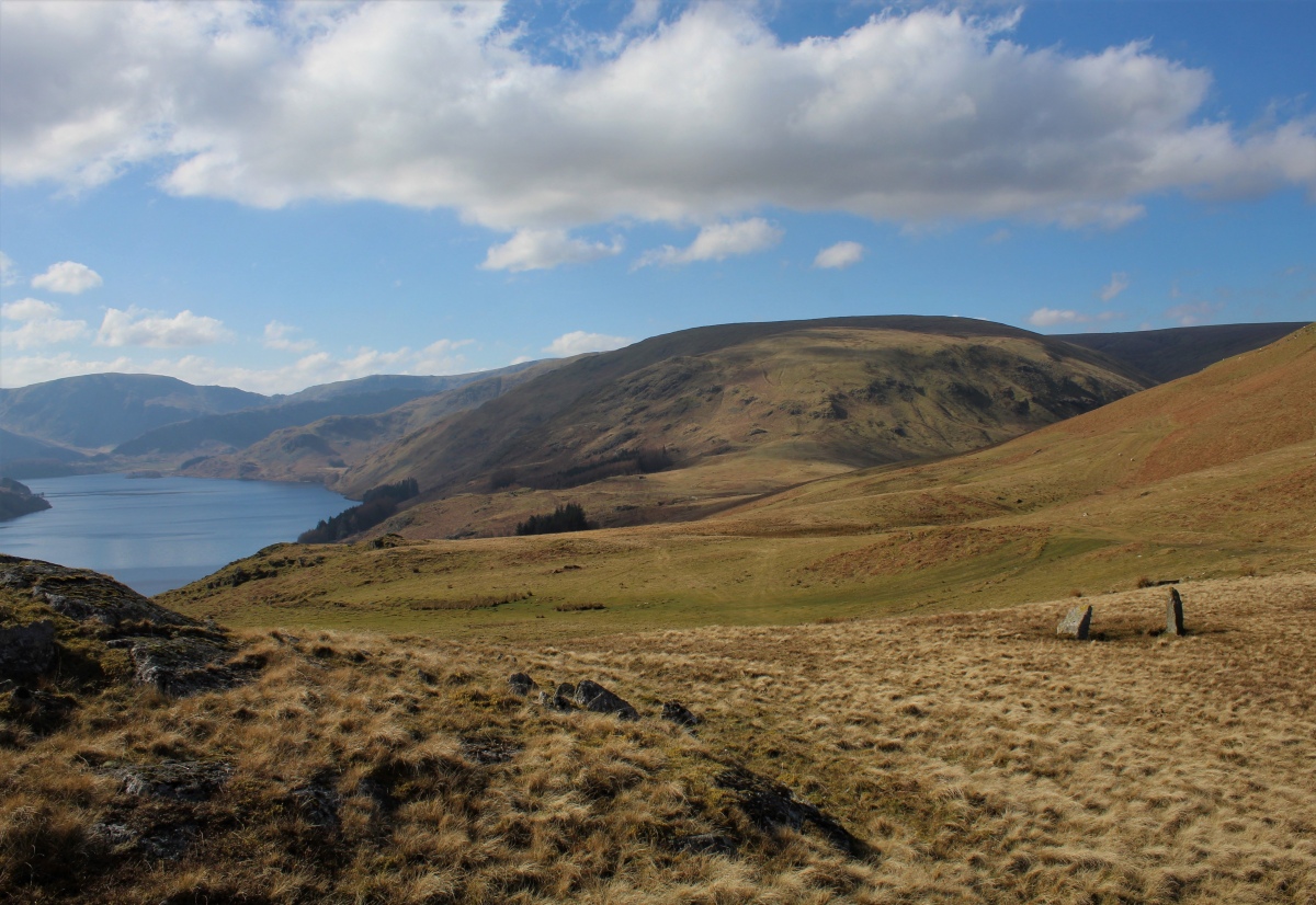
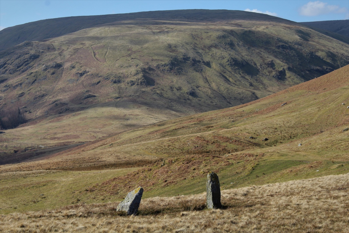
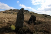
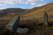
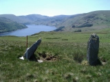
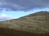
One of the stones is leaning towards its neighbour, and looks like it may fall. There are excellent views from the stones down to the reservoir, and over to the magnificent fells of high street and Kidsy Pike.
A great place to go for a walk, but I didn't feel any special ambience there, I rather thought the stones looked like two gate posts.
Whilst the original grid reference given was NY487163, these standing stones together with two cairns are recorded at NY 4895 1620 (some 300 metres apart). For more information see Pastscape Hill, which describes a Bronze Age landscape comprising standing stones, clearance cairns, a round cairn and an enclosure.
You may be viewing yesterday's version of this page. To see the most up to date information please register for a free account.



Do not use the above information on other web sites or publications without permission of the contributor.
Click here to see more info for this site
Nearby sites
Key: Red: member's photo, Blue: 3rd party photo, Yellow: other image, Green: no photo - please go there and take one, Grey: site destroyed
Download sites to:
KML (Google Earth)
GPX (GPS waypoints)
CSV (Garmin/Navman)
CSV (Excel)
To unlock full downloads you need to sign up as a Contributory Member. Otherwise downloads are limited to 50 sites.
Turn off the page maps and other distractions
Nearby sites listing. In the following links * = Image available
248m NE 53° Four Stones Hill Round Cairn* Round Cairn (NY4915016348)
460m NW 310° Four Stones Cairn 2 Cairn (NY486165)
502m N 5° Four Stones Cairn 1 Cairn (NY490167)
557m W 280° Four Stones Cairn 3 Cairn (NY484163)
1.0km NE 41° Drybarrows Stone Row/Alignment* Stone Row / Alignment (NY4962016958)
1.3km E 85° Burnbanks Cairn* Cairn (NY502163)
1.8km NNE 14° Towtop Kirk* Ancient Village or Settlement (NY494179)
3.3km N 9° Rough Hill Tarn Stone Row/Alignment* Stone Row / Alignment (NY4949219413)
3.5km NNE 16° Rough Hill Round Cairn* Round Cairn (NY4994219544)
3.9km ENE 58° Bampton Grange Cross* Ancient Cross (NY5232218227)
4.0km SSW 210° Castle Crag Hillfort* Hillfort (NY4692412763)
4.3km NNE 12° Heltondale Tumulus* Round Cairn (NY4990420377)
4.3km NW 311° Swarth Fell* Stone Circle (NY45711908)
5.0km NE 51° Knipe Scar* Stone Circle (NY52881930)
5.1km ENE 77° Benny Howe Round Barrow(s) (NY53901729)
5.1km NE 52° Knipe Scar Iron Age Hillfort* Hillfort (NY5300219287)
5.2km ESE 117° Blaze Hill Round Cairn* Round Cairn (NY5355613795)
5.2km ESE 121° White Raise Round Cairn B* Round Cairn (NY5342913450)
5.3km ESE 121° White Raise Round Cairn A* Round Cairn (NY5347313431)
5.3km NE 52° Knipe Scar Tumuli* Round Cairn (NY5319019438)
5.4km N 3° Moor Divock Cairn* Cairn (NY493216)
5.4km N 6° Cop Stone* Standing Stone (Menhir) (NY49602160)
5.6km N 355° Threepow Raise Ring Cairn Ring Cairn (NY4847721781)
5.6km N 5° Moor Divock 2* Standing Stones (NY49472183)
5.7km ESE 103° Stone Howe Cairn (NY545149)
View more nearby sites and additional images


 We would like to know more about this location. Please feel free to add a brief description and any relevant information in your own language.
 Wir möchten mehr über diese Stätte erfahren. Bitte zögern Sie nicht, eine kurze Beschreibung und relevante Informationen in Deutsch hinzuzufügen.
 Nous aimerions en savoir encore un peu sur les lieux. S'il vous plaît n'hesitez pas à ajouter une courte description et tous les renseignements pertinents dans votre propre langue.
 Quisieramos informarnos un poco más de las lugares. No dude en añadir una breve descripción y otros datos relevantes en su propio idioma.