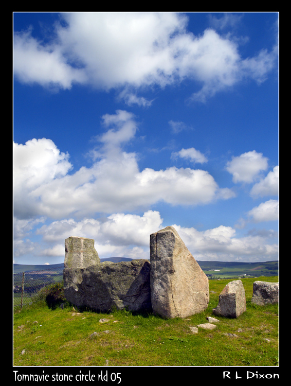
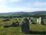
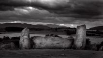
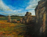
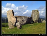
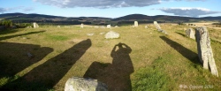
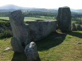
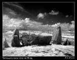
<< Our Photo Pages >> Tomnaverie - Stone Circle in Scotland in Aberdeenshire
Submitted by TheCaptain on Tuesday, 30 January 2024 Page Views: 22727
Neolithic and Bronze AgeSite Name: TomnaverieCountry: Scotland County: Aberdeenshire Type: Stone Circle
Nearest Town: Aboyne Nearest Village: Tarland
Map Ref: NJ48650348 Landranger Map Number: 37
Latitude: 57.119375N Longitude: 2.849636W
Condition:
| 5 | Perfect |
| 4 | Almost Perfect |
| 3 | Reasonable but with some damage |
| 2 | Ruined but still recognisable as an ancient site |
| 1 | Pretty much destroyed, possibly visible as crop marks |
| 0 | No data. |
| -1 | Completely destroyed |
| 5 | Superb |
| 4 | Good |
| 3 | Ordinary |
| 2 | Not Good |
| 1 | Awful |
| 0 | No data. |
| 5 | Can be driven to, probably with disabled access |
| 4 | Short walk on a footpath |
| 3 | Requiring a bit more of a walk |
| 2 | A long walk |
| 1 | In the middle of nowhere, a nightmare to find |
| 0 | No data. |
| 5 | co-ordinates taken by GPS or official recorded co-ordinates |
| 4 | co-ordinates scaled from a detailed map |
| 3 | co-ordinates scaled from a bad map |
| 2 | co-ordinates of the nearest village |
| 1 | co-ordinates of the nearest town |
| 0 | no data |
Internal Links:
External Links:
I have visited· I would like to visit
Martin_L SumDoood Monoman would like to visit
drolaf visited on 10th Aug 2024 - their rating: Cond: 3 Amb: 5 Access: 4 amazing location
DanWarrender visited on 16th Oct 2021 - their rating: Cond: 4 Amb: 5 Access: 5
stolinskie visited on 1st Jan 2019 - their rating: Cond: 3 Amb: 5 Access: 3 Love this stone circle, so glad the quarry was filled in
bishop_pam visited on 11th Apr 2018 - their rating: Cond: 4 Amb: 4 Access: 4
SandyG visited on 10th Nov 2013 - their rating: Cond: 4 Amb: 5 Access: 4
Chrus visited on 1st Jan 2008 - their rating: Cond: 3 Amb: 5 Access: 4
megalithicmatt visited on 26th Aug 2007 - their rating: Cond: 3 Amb: 5 Access: 4 Precariously perched but what a stunning scene! Beautiful recumbent setting.
BolshieBoris visited on 1st Aug 1997 - their rating: Cond: 3 Amb: 4 Access: 4
coin visited - their rating: Cond: 4 Amb: 4 Access: 4
TheCaptain rldixon hamish Andy B MegalithJunkie HaggisAction have visited here
Average ratings for this site from all visit loggers: Condition: 3.44 Ambience: 4.67 Access: 4
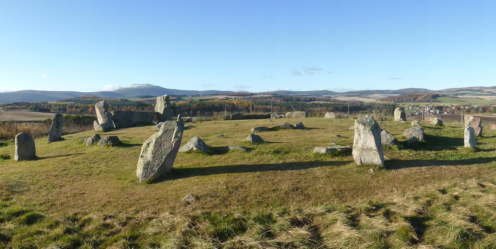
Richard Bradley’s excavations at Tomnaverie resulted in six radiocarbon determinations on charcoal. In Bradley’s model, the latest determination was rejected as an ‘outlier’, with the remaining five combined to offer a date for its construction in the 25th century cal BC. More details in the comments below.
Note: New Book: The Moon and the Bonfire: An Investigation of Three Stone Circles (Tomnaverie, Keig, Old Deer) by Richard Bradley and team. Free/open access download, details on our page
You may be viewing yesterday's version of this page. To see the most up to date information please register for a free account.
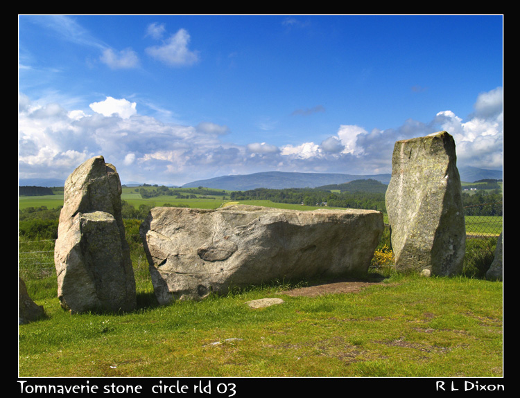
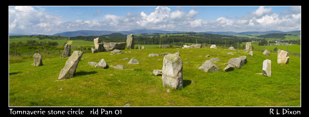
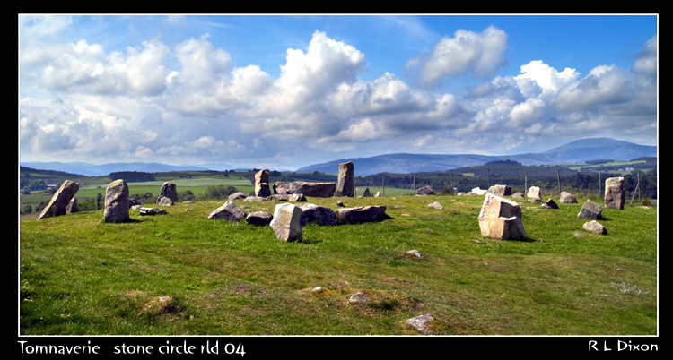






These are just the first 25 photos of Tomnaverie. If you log in with a free user account you will be able to see our entire collection.
Do not use the above information on other web sites or publications without permission of the contributor.
Click here to see more info for this site
Nearby sites
Key: Red: member's photo, Blue: 3rd party photo, Yellow: other image, Green: no photo - please go there and take one, Grey: site destroyed
Download sites to:
KML (Google Earth)
GPX (GPS waypoints)
CSV (Garmin/Navman)
CSV (Excel)
To unlock full downloads you need to sign up as a Contributory Member. Otherwise downloads are limited to 50 sites.
Turn off the page maps and other distractions
Nearby sites listing. In the following links * = Image available
1.2km ESE 114° North Gellan Ancient Village or Settlement (NJ497030)
1.8km NW 325° Waulkmill* Stone Circle (NJ47630500)
2.3km NW 317° Melgum Centre* Stone Circle (NJ471052)
2.4km NW 319° Melgum NW Stone Circle (NJ471053)
2.6km NNW 345° Doune Hill Stone Circle (NJ480060)
2.7km NE 42° Culsh* Souterrain (Fogou, Earth House) (NJ5048305488)
2.8km WNW 295° Corrachree* Class I Pictish Symbol Stone (NJ46160470)
2.8km SSW 196° Balnacraig Cairn Aberdeenshire Chambered Cairn (NJ47830082)
2.9km S 171° Blue Cairn (Cairn)* Cairn (NJ49070059)
3.4km NW 306° Logie Coldstone Stone Circle (NJ459055)
4.1km SSW 211° Knockenzie Ancient Village or Settlement (NJ465000)
4.2km NNE 29° Hillhead Stone Circle Stone Circle (NJ50720714)
4.6km SW 226° Monandavan Ring Cairn (NJ453003)
4.9km S 181° Ferrar Ancient Village or Settlement (NO485986)
5.1km NW 308° Milton of Migvie* Souterrain (Fogou, Earth House) (NJ44600668)
5.4km SW 232° Hut Circles at Old Kinord* Ancient Village or Settlement (NJ444002)
5.6km SW 233° Old Kinord Ancient Village or Settlement (NJ441002)
5.8km SE 139° Image Wood* Stone Circle (NO524990)
5.9km SW 227° Loch Kinord Crannog* Crannog (NO443995)
5.9km SE 130° Lady Well (Aboyne)* Holy Well or Sacred Spring (NO531996)
5.9km SW 231° Loch Kinord Cross Slab* Class III Pictish Cross Slab (NO44009978)
5.9km NNE 32° Holmhead stone circle* Modern Stone Circle etc (NJ51850849)
6.0km WNW 303° Migvie Cupmarked Stone* Rock Art (NJ4369606817)
6.0km WNW 303° Migvie Stone* Class II Pictish Symbol Stone (NJ4364706823)
6.3km SW 221° Kinord earth house* Souterrain (Fogou, Earth House) (NO444988)
View more nearby sites and additional images


 We would like to know more about this location. Please feel free to add a brief description and any relevant information in your own language.
 Wir möchten mehr über diese Stätte erfahren. Bitte zögern Sie nicht, eine kurze Beschreibung und relevante Informationen in Deutsch hinzuzufügen.
 Nous aimerions en savoir encore un peu sur les lieux. S'il vous plaît n'hesitez pas à ajouter une courte description et tous les renseignements pertinents dans votre propre langue.
 Quisieramos informarnos un poco más de las lugares. No dude en añadir una breve descripción y otros datos relevantes en su propio idioma.