<< Our Photo Pages >> Hoarstones - Stone Circle in England in Shropshire
Submitted by Baz on Tuesday, 17 September 2002 Page Views: 24620
Neolithic and Bronze AgeSite Name: Hoarstones Alternative Name: Black MarshCountry: England County: Shropshire Type: Stone Circle
Nearest Village: Shelve
Map Ref: SO32419990 Landranger Map Number: 137
Latitude: 52.592676N Longitude: 2.999199W
Condition:
| 5 | Perfect |
| 4 | Almost Perfect |
| 3 | Reasonable but with some damage |
| 2 | Ruined but still recognisable as an ancient site |
| 1 | Pretty much destroyed, possibly visible as crop marks |
| 0 | No data. |
| -1 | Completely destroyed |
| 5 | Superb |
| 4 | Good |
| 3 | Ordinary |
| 2 | Not Good |
| 1 | Awful |
| 0 | No data. |
| 5 | Can be driven to, probably with disabled access |
| 4 | Short walk on a footpath |
| 3 | Requiring a bit more of a walk |
| 2 | A long walk |
| 1 | In the middle of nowhere, a nightmare to find |
| 0 | No data. |
| 5 | co-ordinates taken by GPS or official recorded co-ordinates |
| 4 | co-ordinates scaled from a detailed map |
| 3 | co-ordinates scaled from a bad map |
| 2 | co-ordinates of the nearest village |
| 1 | co-ordinates of the nearest town |
| 0 | no data |
Internal Links:
External Links:
I have visited· I would like to visit
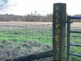
w650marion visited on 27th Feb 2025 - their rating: Cond: 2 Amb: 2 Access: 3 It's a sad unloved stone circle in a very boggy large field marked "private keep out". Not one I visit very often, I do remember it having official access with an info board 30 years ago. It looked better then but I can't find any photos (it was pre digital camera days)
George998 visited on 1st Jan 2024 - their rating: Cond: 3 Amb: 4 Access: 3
BolshieBoris visited on 1st Aug 1998 - their rating: Cond: 3 Amb: 4 Access: 3
Humbucker TheWhiteRider TimPrevett have visited here
Average ratings for this site from all visit loggers: Condition: 2.67 Ambience: 3.33 Access: 3
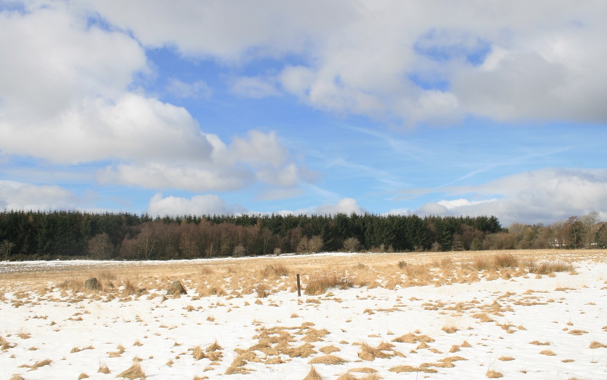
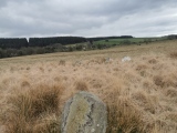
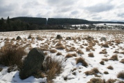
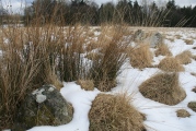
The tallest stone, at one metre, lies near the centre. The image was taken from inside the circle looking south past the central stone. Most of the other stones are hidden in the vegetation.
You may be viewing yesterday's version of this page. To see the most up to date information please register for a free account.
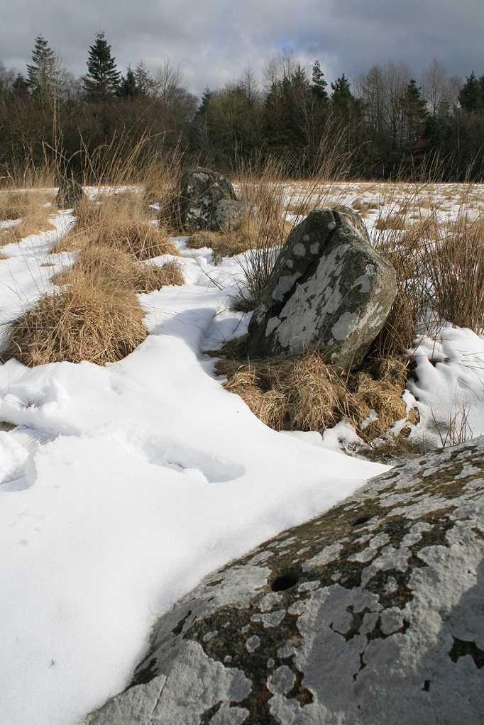

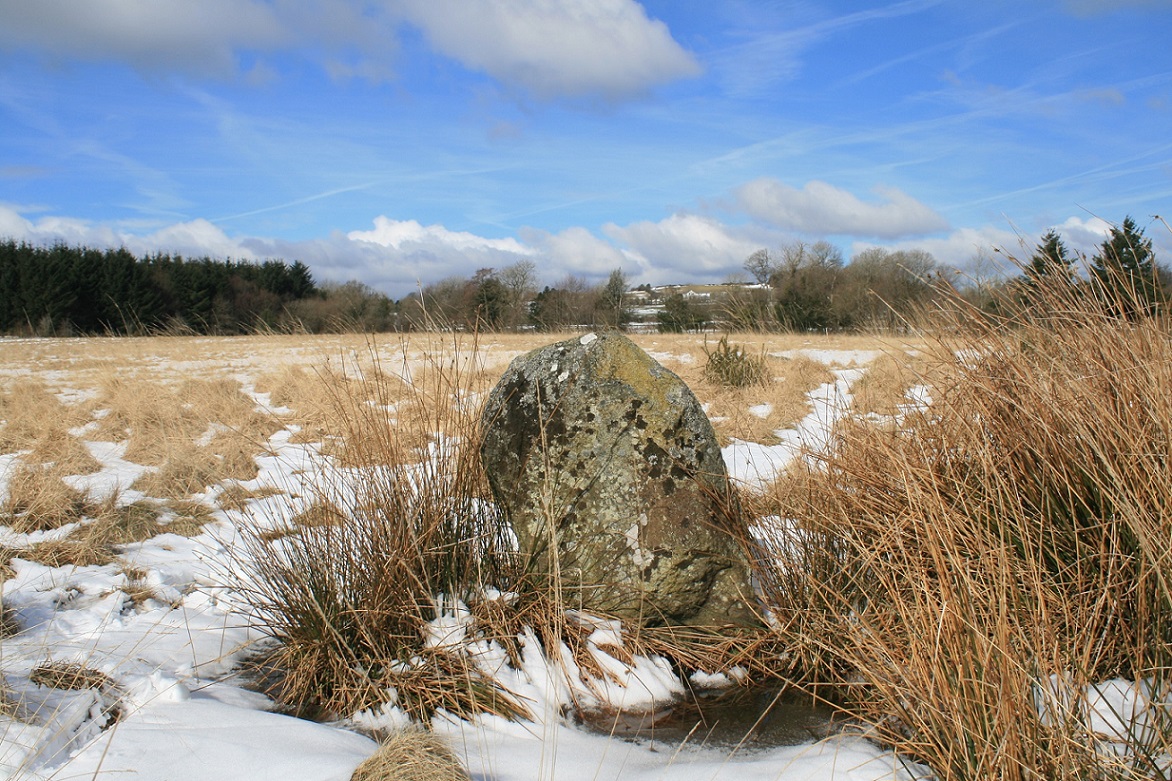










These are just the first 25 photos of Hoarstones. If you log in with a free user account you will be able to see our entire collection.
Do not use the above information on other web sites or publications without permission of the contributor.
Click here to see more info for this site
Nearby sites
Key: Red: member's photo, Blue: 3rd party photo, Yellow: other image, Green: no photo - please go there and take one, Grey: site destroyed
Download sites to:
KML (Google Earth)
GPX (GPS waypoints)
CSV (Garmin/Navman)
CSV (Excel)
To unlock full downloads you need to sign up as a Contributory Member. Otherwise downloads are limited to 50 sites.
Turn off the page maps and other distractions
Nearby sites listing. In the following links * = Image available
862m WNW 290° Holywell Brook (Rorrington)* Holy Well or Sacred Spring (SJ316002)
998m SW 229° Giant's Grave (Shropshire)* Burial Chamber or Dolmen (SO31659925)
1.1km WNW 303° Castle Ring (Rorrington)* Hillfort (SJ315005)
1.4km SW 232° Stapeley Hill Cairn* Cairn (SO31279904)
1.5km ESE 109° Shelve* Stone Circle (SO338994)
1.6km SW 227° Stapeley Hill Earthworks* Misc. Earthwork (SO312988)
1.8km SW 235° Cow Stone (Shropshire)* Standing Stone (Menhir) (SO30919888)
2.3km NNE 24° Lord's Stone* Standing Stone (Menhir) (SJ33400200)
2.5km SW 232° Mitchell's Fold* Stone Circle (SO30429837)
2.5km WSW 241° Middleton Hill Round Barrow(s) (SO302987)
2.6km ESE 103° Pennerley Barrows* Round Barrow(s) (SO349993)
2.6km SW 230° Mitchell's Fold outlier* Standing Stone (Menhir) (SO30429828)
2.6km SW 226° Druid's Castle* Stone Circle (SO305981)
2.9km WSW 249° Middleton Hall* Standing Stone (Menhir) (SO297989)
3.0km SE 137° Ritton Castle* Hillfort (SO34449765)
3.1km SW 219° The Whetstones* Stone Circle (SO30429753)
3.2km E 91° Pennerley Circle* Stone Circle (SO356998)
3.4km SSW 205° Corndon Hill 4* Cairn (SO30949680)
3.5km SSW 211° Corndon Hill 2* Cairn (SO30609693)
3.5km SSW 205° Corndon Hill 3* Cairn (SO30909676)
3.5km SW 222° New House Long Barrow* Long Barrow (SO300973)
3.8km SSW 211° Corndon Hill 8* Cairn (SO304967)
3.8km SSW 210° Corndon Hill 1* Cairn (SO30449666)
3.9km SW 216° Corndon Hill 7* Cairn (SO301968)
3.9km SSW 203° Corndon Hill 5* Cairn (SO30869632)
View more nearby sites and additional images


 We would like to know more about this location. Please feel free to add a brief description and any relevant information in your own language.
 Wir möchten mehr über diese Stätte erfahren. Bitte zögern Sie nicht, eine kurze Beschreibung und relevante Informationen in Deutsch hinzuzufügen.
 Nous aimerions en savoir encore un peu sur les lieux. S'il vous plaît n'hesitez pas à ajouter une courte description et tous les renseignements pertinents dans votre propre langue.
 Quisieramos informarnos un poco más de las lugares. No dude en añadir una breve descripción y otros datos relevantes en su propio idioma.