<< Our Photo Pages >> Druids Temple (Cumbria) - Stone Circle in England in Cumbria
Submitted by Bladup on Friday, 10 January 2003 Page Views: 40331
Neolithic and Bronze AgeSite Name: Druids Temple (Cumbria) Alternative Name: Druids' Circle, Birkrigg CommonCountry: England County: Cumbria Type: Stone Circle
Nearest Town: Ulverston Nearest Village: Sunbrick
Map Ref: SD29237396 Landranger Map Number: 96
Latitude: 54.156555N Longitude: 3.085196W
Condition:
| 5 | Perfect |
| 4 | Almost Perfect |
| 3 | Reasonable but with some damage |
| 2 | Ruined but still recognisable as an ancient site |
| 1 | Pretty much destroyed, possibly visible as crop marks |
| 0 | No data. |
| -1 | Completely destroyed |
| 5 | Superb |
| 4 | Good |
| 3 | Ordinary |
| 2 | Not Good |
| 1 | Awful |
| 0 | No data. |
| 5 | Can be driven to, probably with disabled access |
| 4 | Short walk on a footpath |
| 3 | Requiring a bit more of a walk |
| 2 | A long walk |
| 1 | In the middle of nowhere, a nightmare to find |
| 0 | No data. |
| 5 | co-ordinates taken by GPS or official recorded co-ordinates |
| 4 | co-ordinates scaled from a detailed map |
| 3 | co-ordinates scaled from a bad map |
| 2 | co-ordinates of the nearest village |
| 1 | co-ordinates of the nearest town |
| 0 | no data |
Internal Links:
External Links:
I have visited· I would like to visit
MmeSinn kith AmyBlahBlahBlah would like to visit
rvbaker2003 visited on 29th Dec 2024 - their rating: Cond: 4 Amb: 4 Access: 4
trystan_hughes visited on 12th Apr 2016 - their rating: Cond: 4 Amb: 4 Access: 5
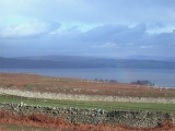
Anne T visited on 23rd Jun 2015 - their rating: Cond: 3 Amb: 4 Access: 5 Druid's Temple Stone Circle, Cumbria: OK, so we got sidetracked by the splended Furness Abbey, but we then retraced our steps to Great Urswick, skirting round the north side of Urswick Tarn, up and out onto Birkrigg Common. Following the yellow ‘dotted’ road over the common, past Sunbrick Farm, we suddenly came upon the most tremendous views over Morecambe Bay. What a place!
Being a beautiful sunny evening, there were many people about. It felt strange to be in such an ancient spot with a van nearby blasting out music from its radio, runners coming through almost the centre of the circle, and dog walkers continually passing.
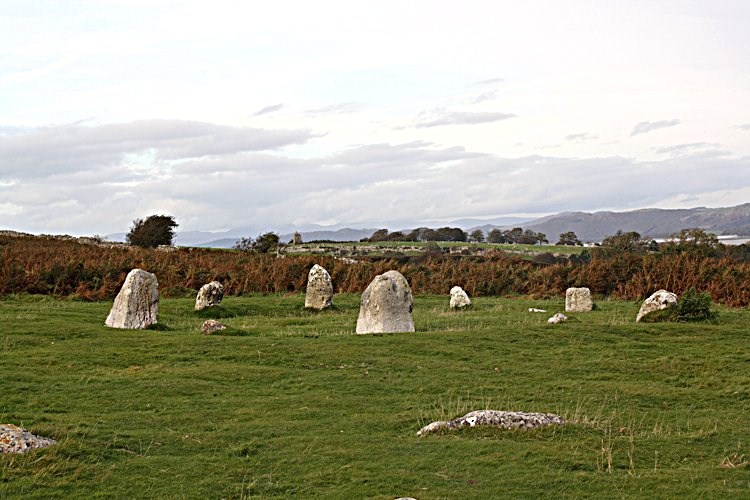
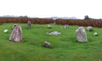
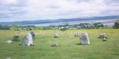
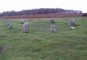
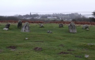
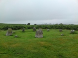
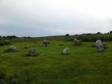
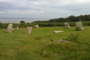
Again, the stone circle sits within a landscape of limestone pavement, which confused my attempts to find out if the circle originally had an outer ring. We counted 12 stones in the inner ring, two only just poking out above the grass, with 10 visible upright stones, although I get the impression some of these might have been re-erected for effect. The circle itself certainly looked as if it had a shallow bank around it and a possible ditch between this and what might have been a very broken outer ring.
There is plenty of parking on the hard verges nearby, and stunning walks on grassy paths cut through the longer grass to make it easier for walkers and runners. A little disappointing there were so many others around, but worth the trip.
kthdsn visited on 5th Jul 2014 - their rating: Cond: 3 Amb: 4 Access: 5 The outer circle was partly hidden in the ferns but the inner one was clear and looked lovely.
Richard13 visited on 1st Mar 2007 - their rating: Cond: 3 Amb: 4 Access: 4
BolshieBoris visited on 1st Jan 1992 - their rating: Cond: 4 Amb: 4 Access: 5
ssituationist visited - their rating: Cond: 3 Amb: 5 Access: 4
drolaf MAIGO rldixon AngieLake nicoladidsbury have visited here
Average ratings for this site from all visit loggers: Condition: 3.43 Ambience: 4.14 Access: 4.57
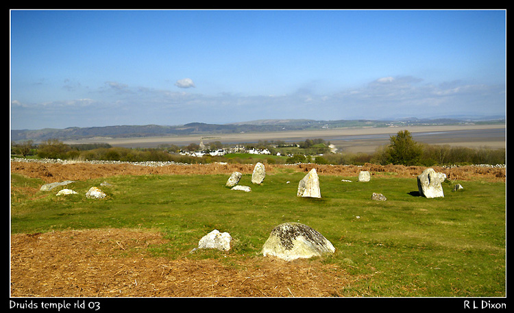
For more information see: Pastscape Monument No. 38039 which describes this as "A Bronze Age stone circle (which) is visible as structures on air photographs. The feature consists of two concentric circles of stones. The feature is extant on the latest 1998 NMR oblique photography. A concentric stone circle; the inner ring consists of twelve stones and the outer twenty. Excavation in the inner ring uncovered five cremations, excavation between the inner and outer rings recovered three supposed ceremonial objects."
Clicking onto 'More Information & Sources' within the Pastscape record tells us that "the finds suggest that Druids Temple was a family shrine built during the Early Bronze Age, circa 2230-1710 BC ... compared with similar hengiform sites in the British Isles."
Access: Visible from the road crossing Birkrigg Common.
5 km (3 miles) S of Ulverston 70m above sea level.
[Note: There is also a circle called Druids Temple on map sheet H in Ireland].
You may be viewing yesterday's version of this page. To see the most up to date information please register for a free account.
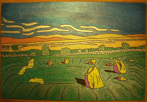
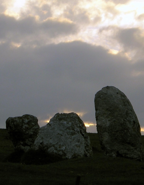
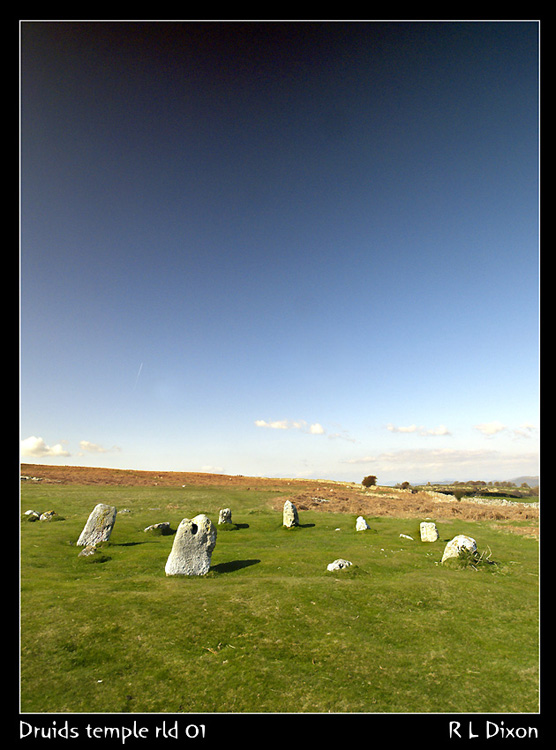





These are just the first 25 photos of Druids Temple (Cumbria). If you log in with a free user account you will be able to see our entire collection.
Do not use the above information on other web sites or publications without permission of the contributor.
Click here to see more info for this site
Nearby sites
Key: Red: member's photo, Blue: 3rd party photo, Yellow: other image, Green: no photo - please go there and take one, Grey: site destroyed
Download sites to:
KML (Google Earth)
GPX (GPS waypoints)
CSV (Garmin/Navman)
CSV (Excel)
To unlock full downloads you need to sign up as a Contributory Member. Otherwise downloads are limited to 50 sites.
Turn off the page maps and other distractions
Nearby sites listing. In the following links * = Image available
473m NW 315° Birkrigg Common Round Cairn 2* Round Cairn (SD289743)
657m WNW 291° Birkrigg Common Cemetery* Barrow Cemetery (SD28627421)
689m NW 321° Birkrigg Common Enclosures and Appleby Hill and Stone Circle Ancient Village or Settlement (SD288745)
695m NW 324° Birkrigg Common Settlement* Ancient Village or Settlement (SD28837453)
770m NW 325° Birkrigg Common Round Cairn 3 Round Cairn (SD288746)
850m WNW 300° Birkrigg Common Round Cairn 1 Round Cairn (SD285744)
1.0km W 271° Birkrigg Common Platform Cairn* Cairn (SD282740)
2.2km WNW 301° Great Urswick Fort* Hillfort (SD274751)
2.3km NW 308° Great Urswick Long Barrow* Long Barrow (SD27427540)
2.4km W 275° Great Urswick Cross* Ancient Cross (SD26867422)
2.5km W 274° The Priapus Stone* Standing Stone (Menhir) (SD26757415)
3.0km W 278° Great Urswick Burial Chamber* Burial Chamber or Dolmen (SD26277442)
3.2km W 272° Urswick Stone Walls* Ancient Village or Settlement (SD260741)
3.8km WNW 283° Lindal Standing Stone* Standing Stone (Menhir) (SD255749)
4.7km SW 227° St Michael's Well (Gleaston) Holy Well or Sacred Spring (SD2572070820)
5.0km N 1° Hoad Hill* Cairn (SD294790)
7.5km ENE 62° Holker Labyrinth and Standing Stones Modern Stone Circle etc (SD3590677373)
7.8km WNW 282° St Helen's Well (Askam and Ireleth) Holy Well or Sacred Spring (SD2161075640)
8.5km NNE 15° Sheriff's Well (Greenodd) Holy Well or Sacred Spring (SD3150082130)
9.1km NNE 13° Greenodd Holy Well (Egton with Newland) Holy Well or Sacred Spring (SD3144082770)
9.7km NNW 334° The Kirk Ring Cairn* Stone Circle (SD2507082693)
9.7km NNW 334° The Kirk Stone Row* Multiple Stone Rows / Avenue (SD2509182770)
9.8km E 89° Holy Well (Humphrey Head)* Holy Well or Sacred Spring (SD39017391)
9.9km NNW 335° Kirkby Moor Ringcairn* Round Cairn (SD25148299)
9.9km E 92° Fairy Stone (Humphrey Head)* Natural Stone / Erratic / Other Natural Feature (SD39157344)
View more nearby sites and additional images


 We would like to know more about this location. Please feel free to add a brief description and any relevant information in your own language.
 Wir möchten mehr über diese Stätte erfahren. Bitte zögern Sie nicht, eine kurze Beschreibung und relevante Informationen in Deutsch hinzuzufügen.
 Nous aimerions en savoir encore un peu sur les lieux. S'il vous plaît n'hesitez pas à ajouter une courte description et tous les renseignements pertinents dans votre propre langue.
 Quisieramos informarnos un poco más de las lugares. No dude en añadir una breve descripción y otros datos relevantes en su propio idioma.