<< Our Photo Pages >> Girdle Stanes - Stone Circle in Scotland in Dumfries and Galloway
Submitted by Anonymous on Thursday, 01 April 2004 Page Views: 17964
Neolithic and Bronze AgeSite Name: Girdle Stanes Alternative Name: Girdlestanes; River White EskCountry: Scotland
NOTE: This site is 0.4 km away from the location you searched for.
County: Dumfries and Galloway Type: Stone Circle
Nearest Town: Lockerbie Nearest Village: Eskdalemuir
Map Ref: NY2535196153 Landranger Map Number: 79
Latitude: 55.253879N Longitude: 3.17593W
Condition:
| 5 | Perfect |
| 4 | Almost Perfect |
| 3 | Reasonable but with some damage |
| 2 | Ruined but still recognisable as an ancient site |
| 1 | Pretty much destroyed, possibly visible as crop marks |
| 0 | No data. |
| -1 | Completely destroyed |
| 5 | Superb |
| 4 | Good |
| 3 | Ordinary |
| 2 | Not Good |
| 1 | Awful |
| 0 | No data. |
| 5 | Can be driven to, probably with disabled access |
| 4 | Short walk on a footpath |
| 3 | Requiring a bit more of a walk |
| 2 | A long walk |
| 1 | In the middle of nowhere, a nightmare to find |
| 0 | No data. |
| 5 | co-ordinates taken by GPS or official recorded co-ordinates |
| 4 | co-ordinates scaled from a detailed map |
| 3 | co-ordinates scaled from a bad map |
| 2 | co-ordinates of the nearest village |
| 1 | co-ordinates of the nearest town |
| 0 | no data |
Internal Links:
External Links:
I have visited· I would like to visit
SumDoood would like to visit
Mikestavros visited on 8th May 2024 - their rating: Cond: 4 Amb: 4 Access: 4 Looking for the supposed avenue between Girdle and Loupin Stanes
Chappers60 visited on 25th Oct 2023 - their rating: Cond: 3 Amb: 4 Access: 3 Walk along field parallel with river 2-300 yards
Anne T visited on 6th Apr 2015 - their rating: Cond: 3 Amb: 4 Access: 4 Girdle Stanes, Stone Circle near Eskdalemuir: Even though we lived only 10 ½ miles from Eskdalemuir for 4 years in the laste 1990's, we’d never explored this area, apart from taking our (then very young) kids to a local river to paddle and visit a few of the Roman forts nearby, which in hindsight was a shame, but we’re rectifying that now.
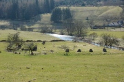
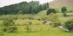
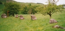
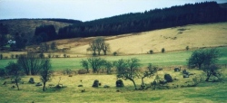
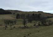
Driving along the B709, about 2 km before Eskdalemuir, we spotted the signpost to Girdle Stanes on the right hand side of the road and pulled into the field gateway, making sure we weren’t blocking access. There was a splendid view of the Girdle Stanes and the White Esk in the valley below. As the road is about 100 feet above the stones, it was easy to see how part of the circle had been eroded by the river.
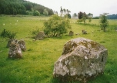
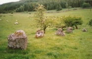
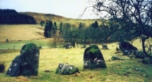
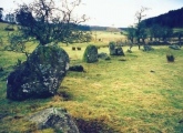
It was a glorious, warm day with no breeze. The footpath was an easy downhill stroll. The stones felt welcoming and the sun glinted off the river. The stones appear to be built within a bank which is still visible. Someone had left a bunch of flowers underneath the stone which sat underneath the largest hawthorn tree, and we wondered if it had been the monks from Samye Ling (the Buddhist monks in this area of Northumberland also celebrate standing stones and stone circles here).
Looking across the valley to a where the map showed earthworks, we saw these clearly, but contained within these earthworks was a cemetery. We decided to explore this feature later in the day. I've just found (10th April) out that this site is a moated homestead, RCAHMS site ID 67233.
Just to the north of the stones, a footpath sign pointed us in the direction to the Loupin’ Stanes, following the fields along the edge of the river.
graemefield visited on 6th Oct 2011 - their rating: Cond: 3 Amb: 4 Access: 4
nicoladidsbury have visited here
Average ratings for this site from all visit loggers: Condition: 3.25 Ambience: 4 Access: 3.75
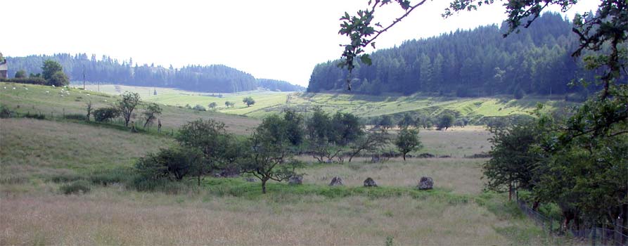
For more information see Canmore site no. 67234.
You may be viewing yesterday's version of this page. To see the most up to date information please register for a free account.
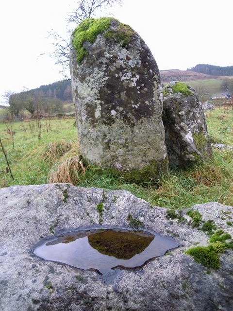
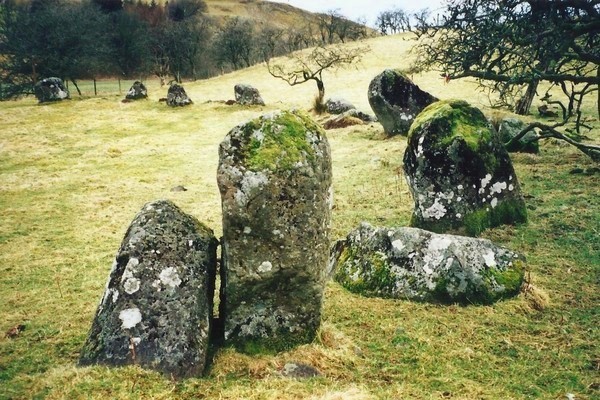






These are just the first 25 photos of Girdle Stanes. If you log in with a free user account you will be able to see our entire collection.
Do not use the above information on other web sites or publications without permission of the contributor.
Click here to see more info for this site
Nearby sites
Key: Red: member's photo, Blue: 3rd party photo, Yellow: other image, Green: no photo - please go there and take one, Grey: site destroyed
Download sites to:
KML (Google Earth)
GPX (GPS waypoints)
CSV (Garmin/Navman)
CSV (Excel)
To unlock full downloads you need to sign up as a Contributory Member. Otherwise downloads are limited to 50 sites.
Turn off the page maps and other distractions
Nearby sites listing. In the following links * = Image available
579m NE 39° Loupin' Stanes SE* Stone Row / Alignment (NY25729660)
590m NE 35° Loupin' Stanes NW* Stone Circle (NY25709663)
760m SW 215° Bessie's Hill Fort* Hillfort (NY2490095540)
792m SSW 214° Bessie's Hill Settlement Ancient Village or Settlement (NY249955)
2.8km SSW 196° Over Rig* Misc. Earthwork (NY2455693475)
3.0km SSE 168° King Shaw's Grave* Cairn (NY25939320)
3.5km SSW 198° Castle O'er Fort* Hillfort (NY2419092850)
3.6km SSE 161° Bank Head Hill Ancient Village or Settlement (NY2648992760)
3.9km S 187° The Knowe* Ancient Village or Settlement (NY24799226)
4.0km NNW 348° Naga Stupa(cairn)* Modern Stone Circle etc (NT246001)
4.2km SSE 157° Green Hill (Lyneholm)* Misc. Earthwork (NY26939223)
5.1km SSE 156° White Birren* Hillfort (NY27329148)
5.6km S 177° Bailiehill Fort* Hillfort (NY2558090520)
6.3km SE 141° Bogle Walls* Hillfort (NY29249124)
7.9km SE 140° Boonies Ancient Village or Settlement (NY304900)
8.2km SSW 201° Kirkslight Rig Stone Circle (NY223885)
8.3km SE 137° Westerkirk Stone Circle (NY3190)
8.6km SSW 199° Whitcastles* Stone Circle (NY22408806)
9.3km SE 146° Shaw Hill (Westerkirk) Hillfort (NY30458834)
11.3km W 268° Kirkhill* Stone Circle (NY1397895929)
11.6km SE 132° Little Hill (Craig)* Hillfort (NY3383088160)
12.2km W 270° St Cuthbert's Church (Wamphray)* Ancient Cross (NY1307096462)
12.5km W 271° Wamphray Place* Misc. Earthwork (NY12829648)
12.5km S 186° Newhall Hill (Paddockhole)* Ancient Village or Settlement (NY23808372)
12.7km ESE 105° Grey Wether Meikledale Standing Stone (Menhir) (NY3761692734)
View more nearby sites and additional images


 We would like to know more about this location. Please feel free to add a brief description and any relevant information in your own language.
 Wir möchten mehr über diese Stätte erfahren. Bitte zögern Sie nicht, eine kurze Beschreibung und relevante Informationen in Deutsch hinzuzufügen.
 Nous aimerions en savoir encore un peu sur les lieux. S'il vous plaît n'hesitez pas à ajouter une courte description et tous les renseignements pertinents dans votre propre langue.
 Quisieramos informarnos un poco más de las lugares. No dude en añadir una breve descripción y otros datos relevantes en su propio idioma.