<< Our Photo Pages >> Gogar Stone - Standing Stone (Menhir) in Scotland in Midlothian
Submitted by Andy B on Wednesday, 03 March 2004 Page Views: 15594
Neolithic and Bronze AgeSite Name: Gogar Stone Alternative Name: Easter NortonCountry: Scotland County: Midlothian Type: Standing Stone (Menhir)
Nearest Town: Edinburgh Nearest Village: Gogar
Map Ref: NT15487199 Landranger Map Number: 65
Latitude: 55.933513N Longitude: 3.354447W
Condition:
| 5 | Perfect |
| 4 | Almost Perfect |
| 3 | Reasonable but with some damage |
| 2 | Ruined but still recognisable as an ancient site |
| 1 | Pretty much destroyed, possibly visible as crop marks |
| 0 | No data. |
| -1 | Completely destroyed |
| 5 | Superb |
| 4 | Good |
| 3 | Ordinary |
| 2 | Not Good |
| 1 | Awful |
| 0 | No data. |
| 5 | Can be driven to, probably with disabled access |
| 4 | Short walk on a footpath |
| 3 | Requiring a bit more of a walk |
| 2 | A long walk |
| 1 | In the middle of nowhere, a nightmare to find |
| 0 | No data. |
| 5 | co-ordinates taken by GPS or official recorded co-ordinates |
| 4 | co-ordinates scaled from a detailed map |
| 3 | co-ordinates scaled from a bad map |
| 2 | co-ordinates of the nearest village |
| 1 | co-ordinates of the nearest town |
| 0 | no data |
Internal Links:
External Links:
I have visited· I would like to visit
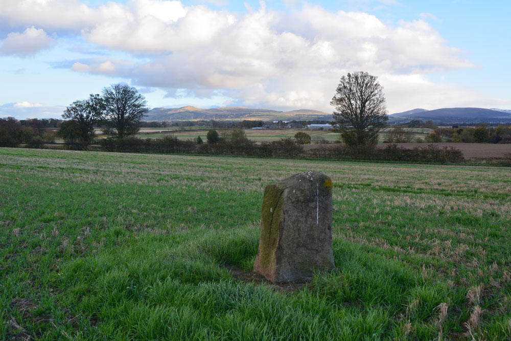
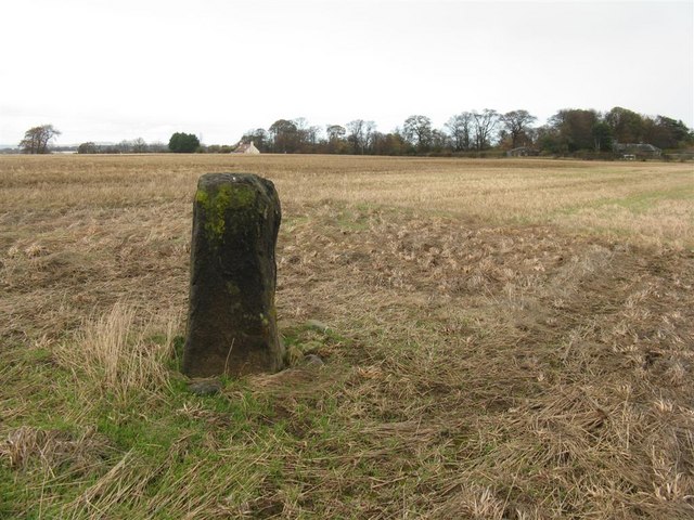
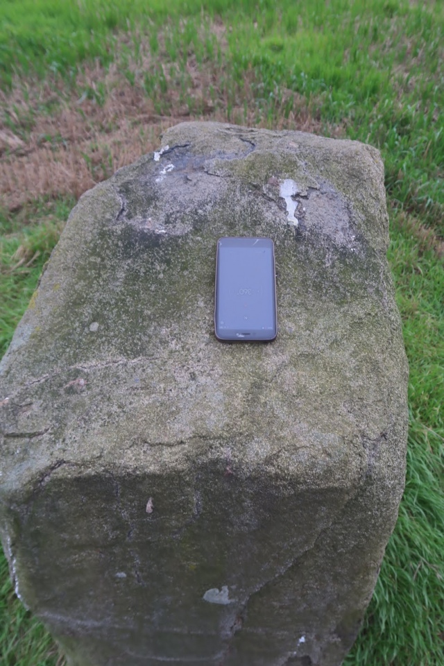
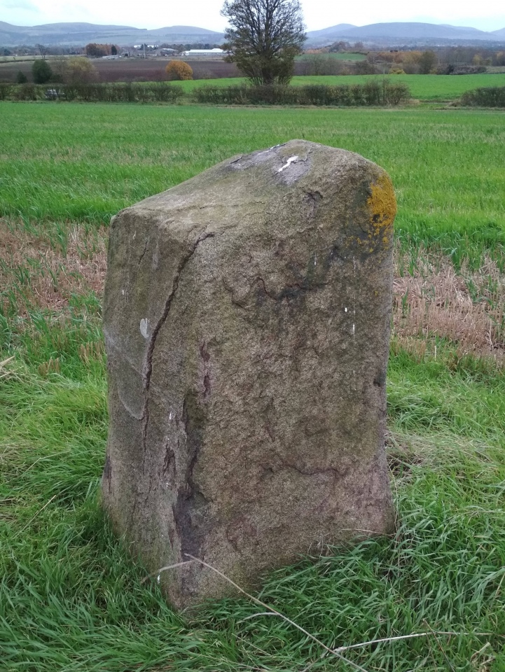
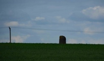
Anne T visited on 28th Oct 2018 - their rating: Cond: 3 Amb: 4 Access: 4 The Gogar or Easter Norton Standing Stone: The last time I visited this stone, the field was planted with crop with no easy way of crossing the knee high rows of plants, so we viewed it from a distance. On this visit, the field had been left fallow, so we parked in the small layby on Freelands Road and walked through a gap in the hedgerow up to the stone. A large rook was perched on top of the stone, but flew off before I could take a photograph of it.
This stone has lots to keep it occupied during the day – planes taking off from Edinburgh airport to the north, trains on the mainline to the south, and cars on the M8. It was nice to be able to wander up to it, take photographs and see the stone up close.
The satnav took us by a funny route back to the A8 and whilst waiting to move off, a white van ran into the back of our car, just as a blue light ambulance was trying to get past. Not a good end to the day, but we decided to stop off at the Boar Stone on the way back as there was still just enough daylight.
Anne T saw from a distance on 18th May 2017 - their rating: Amb: 3 Access: 4 The Gogar Stone, West Lothian: This stone was conveniently located on our way back into Edinburgh, although we were only able to see it from a distance. Sited towards southern edge of a huge field, about 300 metres south east of East Norton Farm, access to the field can be gained from Freelands Road through the large gaps in the hedge which runs to the northern side of the road.
At the time of our visit, a crop of wheat was almost knee high in the field. We walked along the crop-free area of the field running alongside Freelands Road side, seeking a tractor track we could walk along to reach the stone. Not finding this, we turned and walked north, following the edge of the field along Gogarstone Road. Again, no track. I started trying to place my feet carefully between the densely planted rows of wheat without damaging them, but even my feet were too large to fit sideways inside the rows; it took me five minutes to get some 20 rows in, and only 1/10th way there!
I could have kept walking round this enormous field, but time was running short. We decided to come back once the crop had been harvested, and moved on to the Physic Well in Corstophine.
richard_cammo Andy B have visited here
Average ratings for this site from all visit loggers: Ambience: 3.5 Access: 4
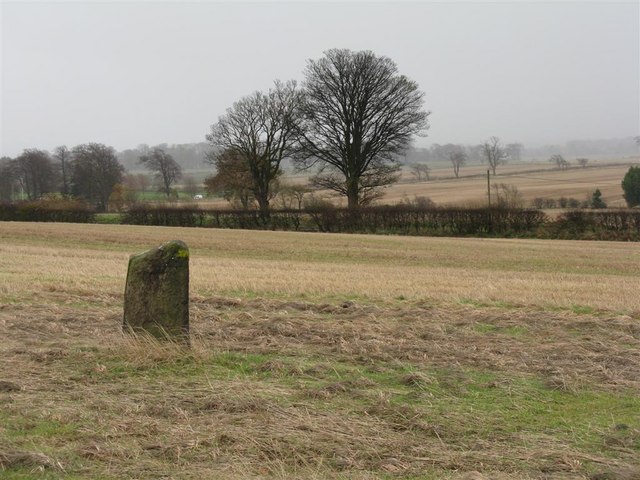
This standing stone is featured on The Ancient Stones: A Guide to Standing Stones and Stone Circles in the South of Scotland - see their entry for Standing Stone, Gogar, Edinburgh, which includes a description, directions for finding this stone together with nearby parking, folklore and fieldnotes.
For more information see Canmore ID 50716.
You may be viewing yesterday's version of this page. To see the most up to date information please register for a free account.


Do not use the above information on other web sites or publications without permission of the contributor.
Click here to see more info for this site
Nearby sites
Key: Red: member's photo, Blue: 3rd party photo, Yellow: other image, Green: no photo - please go there and take one, Grey: site destroyed
Download sites to:
KML (Google Earth)
GPX (GPS waypoints)
CSV (Garmin/Navman)
CSV (Excel)
To unlock full downloads you need to sign up as a Contributory Member. Otherwise downloads are limited to 50 sites.
Turn off the page maps and other distractions
Nearby sites listing. In the following links * = Image available
2.5km NNW 345° Cat Stane (Kirkliston)* Standing Stone (Menhir) (NT1489374373)
2.5km WSW 246° Witchis Stane* Standing Stone (Menhir) (NT13177104)
2.9km WNW 282° Lochend menhir* Standing Stone (Menhir) (NT12667263)
3.1km NW 326° Carlowrie (Kirkliston) Rock Art (NT138746)
3.2km W 280° Huly Hill Cairn* Round Cairn (NT1234272610)
3.2km W 280° Huly Hill Standing Stones* Standing Stones (NT1234272610)
3.3km NE 35° Cammo Stone* Standing Stone (Menhir) (NT1747774681)
3.5km SW 227° Tormain Hill* Rock Art (NT12906967)
3.6km SW 229° Witches' Stone (Ratho)* Rock Art (NT12736973)
3.6km S 182° Newhouse Standing Stone Standing Stone (Menhir) (NT15296838)
4.1km E 82° Physic Well (Corstorphine)* Holy Well or Sacred Spring (NT19597252)
4.2km E 80° Lady Well* Holy Well or Sacred Spring (NT196726)
5.1km SE 145° St Mungo's Well (Edinburgh)* Holy Well or Sacred Spring (NT18346773)
5.5km SSW 200° Dalmahoy Hill Hillfort (NT135669)
5.9km N 353° Crossall Hill (South Queensferry)* Ancient Cross (NT14907791)
6.0km SSW 203° Kaimes Standing Stones (NT130665)
6.1km NNE 33° Cramond Ancient Village or Settlement (NT18957706)
6.5km SW 218° Kirknewton stone Sculptured Stone (NT11426693)
6.9km NNW 336° Bell Stane (Queensferry) Standing Stone (Menhir) (NT12827840)
7.6km ENE 76° Succoth Place Double Cist Burial Cist (NT22897362)
7.6km ESE 104° Craiglockart Hill Vitrified Fort Hillfort (NT22827006)
9.0km E 92° The Bore Stone* Marker Stone (NT2450871568)
9.1km E 98° Hanging Stanes (Braid Road)* Marker Stone (NT24517061)
9.1km ENE 76° St George's Well (Edinburgh)* Holy Well or Sacred Spring (NT2440174070)
9.2km ENE 75° St Bernard's Well* Holy Well or Sacred Spring (NT2445174247)
View more nearby sites and additional images


 We would like to know more about this location. Please feel free to add a brief description and any relevant information in your own language.
 Wir möchten mehr über diese Stätte erfahren. Bitte zögern Sie nicht, eine kurze Beschreibung und relevante Informationen in Deutsch hinzuzufügen.
 Nous aimerions en savoir encore un peu sur les lieux. S'il vous plaît n'hesitez pas à ajouter une courte description et tous les renseignements pertinents dans votre propre langue.
 Quisieramos informarnos un poco más de las lugares. No dude en añadir una breve descripción y otros datos relevantes en su propio idioma.