<< Our Photo Pages >> Tigh Na Ruaich - Stone Circle in Scotland in Perth and Kinross
Submitted by Nick on Tuesday, 05 November 2002 Page Views: 14337
Neolithic and Bronze AgeSite Name: Tigh Na Ruaich Alternative Name: TynrichCountry: Scotland
NOTE: This site is 0.2 km away from the location you searched for.
County: Perth and Kinross Type: Stone Circle
Nearest Town: Pitlochry Nearest Village: Ballinluig
Map Ref: NN97625346 Landranger Map Number: 52
Latitude: 56.661680N Longitude: 3.671855W
Condition:
| 5 | Perfect |
| 4 | Almost Perfect |
| 3 | Reasonable but with some damage |
| 2 | Ruined but still recognisable as an ancient site |
| 1 | Pretty much destroyed, possibly visible as crop marks |
| 0 | No data. |
| -1 | Completely destroyed |
| 5 | Superb |
| 4 | Good |
| 3 | Ordinary |
| 2 | Not Good |
| 1 | Awful |
| 0 | No data. |
| 5 | Can be driven to, probably with disabled access |
| 4 | Short walk on a footpath |
| 3 | Requiring a bit more of a walk |
| 2 | A long walk |
| 1 | In the middle of nowhere, a nightmare to find |
| 0 | No data. |
| 5 | co-ordinates taken by GPS or official recorded co-ordinates |
| 4 | co-ordinates scaled from a detailed map |
| 3 | co-ordinates scaled from a bad map |
| 2 | co-ordinates of the nearest village |
| 1 | co-ordinates of the nearest town |
| 0 | no data |
Internal Links:
External Links:
I have visited· I would like to visit
hamish has visited here
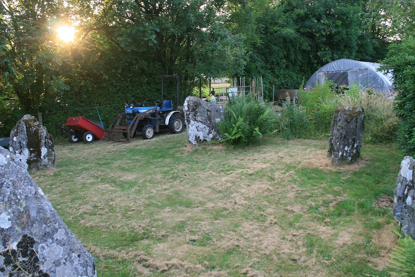
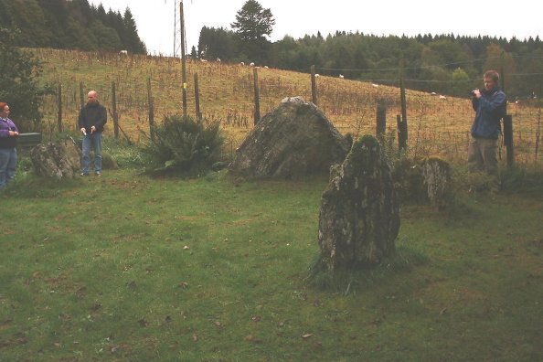
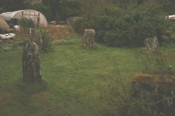
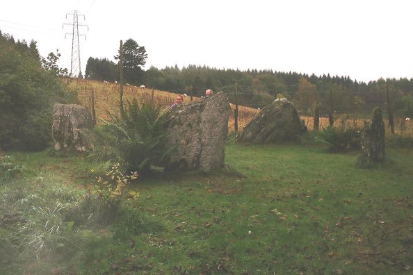
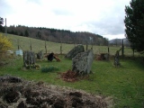
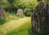
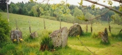
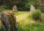
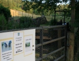
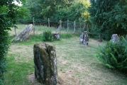
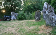
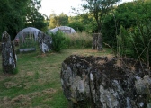
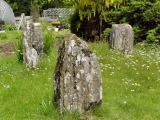
Turn off the A9 at Ballinluig, and take the first left, heading north along the route of the old A9. This road then becomes a dead-end, with a small garden nursery (Tynreich) at the end of it. The name is an anglicised version of the original, meaning 'the house of the heather'. Ask permission to visit, we found that it is more than readily granted. The owner of the garden nursery is knowledgable about the circle, and is a good guardian of this lovely little site. A six stone circle, not much over 7m in diameter, graded towards the SSE (Burl states SSW) where the largest stone leans heavily inward. An early excavation in 1855 is said to have unearthed four clay-coloured urns containing funerary remains, which were broken during their removal. They were said to have been 2' in height and 1' in diameter. Burl also states that flat slabs may have been lifted, possibly the sides of unrecognised cists. Certainly a couple of areas within the circle sounded 'hollow' when stamped on!
Visited by the Megaraks on 13th October 2002, some of whom may be spotted in the photographs. A splendid little circle, well-preserved.
Note: Ask permission to visit, we found that it is more than readily granted.
You may be viewing yesterday's version of this page. To see the most up to date information please register for a free account.


Do not use the above information on other web sites or publications without permission of the contributor.
Click here to see more info for this site
Nearby sites
Key: Red: member's photo, Blue: 3rd party photo, Yellow: other image, Green: no photo - please go there and take one, Grey: site destroyed
Download sites to:
KML (Google Earth)
GPX (GPS waypoints)
CSV (Garmin/Navman)
CSV (Excel)
To unlock full downloads you need to sign up as a Contributory Member. Otherwise downloads are limited to 50 sites.
Turn off the page maps and other distractions
Nearby sites listing. In the following links * = Image available
1.7km SSW 211° Logierait 1 Class II Pictish Symbol Stone (NN967520)
2.5km SSE 157° Clach Glas* Standing Stone (Menhir) (NN98535112)
2.6km SSE 152° Haugh Cottages* Class III Pictish Cross Slab (NN988511)
3.0km SSE 154° Kilmorich Standing Stone (Menhir) (NN989507)
3.3km WSW 244° Clach na Croiche* Stone Row / Alignment (NN94625211)
3.7km SSE 151° Briughdearg Standing Stone (Menhir) (NN993502)
3.7km SSE 151° Kindallachan Standing Stones (NN993502)
3.8km NNE 20° Black Spout Wood Homestead Ancient Village or Settlement (NN990570)
3.9km SSE 152° Druid's Stone* Standing Stone (Menhir) (NN99384994)
4.3km NW 314° Dunfallandy stone* Class II Pictish Symbol Stone (NN946565)
4.6km NW 320° Dunfallandy Cairn* Cairn (NN94745700)
4.7km W 268° Pitnacree* Standing Stone (Menhir) (NN92875337)
5.6km W 266° Haugh Of Grandtully Farm* Standing Stone (Menhir) (NN92035319)
5.6km WNW 293° Clachan An Diridh* Stone Circle (NN92515574)
5.9km NW 322° Tobar Argan* Holy Well or Sacred Spring (NN941582)
5.9km W 261° Balnabeggan* Rock Art (NN917527)
6.0km SSE 155° Dowally* Standing Stones (NO0003948005)
6.2km NW 326° Cnoc Dubh Stone Circle (NN94245871)
6.6km W 276° Clach Na Buidseach Rock Art (NN91085435)
6.7km NNW 332° Balnakeilly* Standing Stone (Menhir) (NN94655944)
6.8km NNW 329° Dane's Stone* Standing Stone (Menhir) (NN9425559414)
7.1km NW 318° Faskally Cottages* Stone Circle (NN930589)
7.6km NW 321° Craigiedun* Stone Circle (NN930595)
8.0km W 275° Findynate Farm* Standing Stones (NN89645430)
8.1km W 275° Pitcastle Standing Stones (NN895543)
View more nearby sites and additional images


 We would like to know more about this location. Please feel free to add a brief description and any relevant information in your own language.
 Wir möchten mehr über diese Stätte erfahren. Bitte zögern Sie nicht, eine kurze Beschreibung und relevante Informationen in Deutsch hinzuzufügen.
 Nous aimerions en savoir encore un peu sur les lieux. S'il vous plaît n'hesitez pas à ajouter une courte description et tous les renseignements pertinents dans votre propre langue.
 Quisieramos informarnos un poco más de las lugares. No dude en añadir una breve descripción y otros datos relevantes en su propio idioma.