<< Our Photo Pages >> Clach na Croiche - Stone Row / Alignment in Scotland in Perth and Kinross
Submitted by Big_Sweetie on Saturday, 17 May 2003 Page Views: 9882
Neolithic and Bronze AgeSite Name: Clach na Croiche Alternative Name: Balnaguard, Balnaguard FarmCountry: Scotland County: Perth and Kinross Type: Stone Row / Alignment
Map Ref: NN94625211 Landranger Map Number: 52
Latitude: 56.648891N Longitude: 3.720221W
Condition:
| 5 | Perfect |
| 4 | Almost Perfect |
| 3 | Reasonable but with some damage |
| 2 | Ruined but still recognisable as an ancient site |
| 1 | Pretty much destroyed, possibly visible as crop marks |
| 0 | No data. |
| -1 | Completely destroyed |
| 5 | Superb |
| 4 | Good |
| 3 | Ordinary |
| 2 | Not Good |
| 1 | Awful |
| 0 | No data. |
| 5 | Can be driven to, probably with disabled access |
| 4 | Short walk on a footpath |
| 3 | Requiring a bit more of a walk |
| 2 | A long walk |
| 1 | In the middle of nowhere, a nightmare to find |
| 0 | No data. |
| 5 | co-ordinates taken by GPS or official recorded co-ordinates |
| 4 | co-ordinates scaled from a detailed map |
| 3 | co-ordinates scaled from a bad map |
| 2 | co-ordinates of the nearest village |
| 1 | co-ordinates of the nearest town |
| 0 | no data |
Internal Links:
External Links:
I have visited· I would like to visit
SandyG visited on 18th Nov 2016 - their rating: Cond: 2 Amb: 4 Access: 4 Limited car parking available at NN 94606 51862. Access to the row is easiest through the farmyard and permission must be sought before proceeding to the row which is situated behind the farm buildings.
tom_bullock have visited here

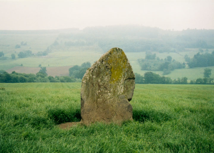
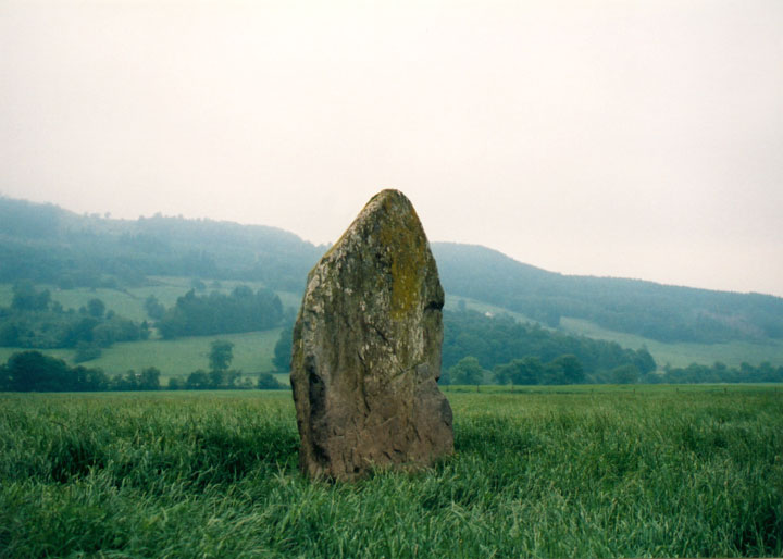
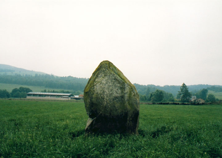
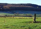
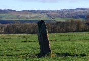
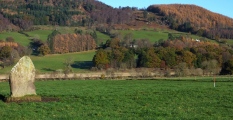
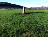
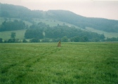
Around 1887, a cist was uncovered near the standing stone, and was found to contain a 'food vessel' (type of prehistoric pot), which made its way to the museum at Blair Castle. Coles described it as being "found in a cist in the haugh near Tom-na-Croiche, which is the name of the ground at the standing stone." In 1969, John McBeth, the farmer at Balnaguard, found a short cist while ploughing 12.0m to the NW of the stone, at the highest point of a slight rise (visible at the left of the photo above). Upon excavation, the cist was found to have a partially-cobbled floor. Several finds, including an upturned beaker sitting on sand in one corner, are now in the National Museum. The cist was filled in, and the cover stone now lies at the edge of the field (NN 9455 5205).
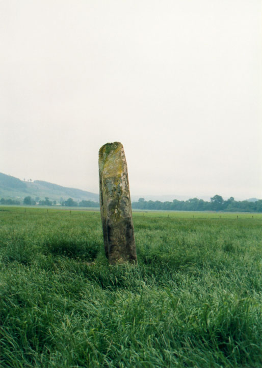
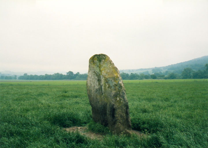
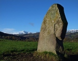
In 1971, further excavations took place. The earth around the base of the standing stone was removed to a depth of 0.25m, revealing 7 cup-marks on the S face. Another cup-mark was found on the prostrate stone closest to the upright one. The three buried stones in an arc at the field boundary (NN 9468 5209) were found to be set amongst apparent cairn material of fist-sized smooth stones, covering an area of 6.10m by 3.65m. This was under a layer of 0.25m of plough soil, and was itself 0.3m deep, resting on the sandy subsoil of the field. Under the NE section of these stones the subsoil was found to have dark stains, and produced some cremated bone, carbonised wood, and a small rim sherd possibly from a food vessel. Further S from this area, a thin flat slab of 2.3m length was also found. No socket was found, so it is possible this may have been a cist cover.
For more information see Canmore ID 26373. This single stone row, with one upright and two mainly buried recumbent slabs, is also featured on the Stone Rows of Great Britain - see their entry for Balnaguard, which includes a description, photographs of the three individual stones (of which only a small fraction of stones B and C are visible), access information and links to further online resources for more information.
Directions : Head N from Perth on the A9. After approximately 35.0km, take the road to the right for Aberfeldy at the Ballinluig junction. The road (A827) curves round and back over the A9. Continue through Logierait, and after approximately 5.0km you will cross a bridge over the Tay, and come to a junction. Turn left at the junction on to the B898, and after about 2.0km you will come to Balnaguard. There is space to park at the side of the road in the village. On foot, look for a grassy track to your left (the N side of the village) over an old railway bridge. From here you will be able to see Clach na Croiche in the field below.
You may be viewing yesterday's version of this page. To see the most up to date information please register for a free account.





Do not use the above information on other web sites or publications without permission of the contributor.
Click here to see more info for this site
Nearby sites
Key: Red: member's photo, Blue: 3rd party photo, Yellow: other image, Green: no photo - please go there and take one, Grey: site destroyed
Download sites to:
KML (Google Earth)
GPX (GPS waypoints)
CSV (Garmin/Navman)
CSV (Excel)
To unlock full downloads you need to sign up as a Contributory Member. Otherwise downloads are limited to 50 sites.
Turn off the page maps and other distractions
Nearby sites listing. In the following links * = Image available
2.1km E 92° Logierait 1 Class II Pictish Symbol Stone (NN967520)
2.2km NW 304° Pitnacree* Standing Stone (Menhir) (NN92875337)
2.8km WNW 291° Haugh Of Grandtully Farm* Standing Stone (Menhir) (NN92035319)
3.0km W 280° Balnabeggan* Rock Art (NN917527)
3.3km ENE 64° Tigh Na Ruaich* Stone Circle (NN97625346)
4.0km ESE 103° Clach Glas* Standing Stone (Menhir) (NN98535112)
4.2km WNW 301° Clach Na Buidseach Rock Art (NN91085435)
4.2km NNW 328° Clachan An Diridh* Stone Circle (NN92515574)
4.3km ESE 102° Haugh Cottages* Class III Pictish Cross Slab (NN988511)
4.4km N 358° Dunfallandy stone* Class II Pictish Symbol Stone (NN946565)
4.5km ESE 107° Kilmorich Standing Stone (Menhir) (NN989507)
4.9km N 360° Dunfallandy Cairn* Cairn (NN94745700)
5.0km ESE 111° Kindallachan Standing Stones (NN993502)
5.0km ESE 111° Briughdearg Standing Stone (Menhir) (NN993502)
5.2km ESE 113° Druid's Stone* Standing Stone (Menhir) (NN99384994)
5.4km WNW 292° Findynate Farm* Standing Stones (NN89645430)
5.6km WNW 292° Pitcastle Standing Stones (NN895543)
6.0km W 279° Tobairandonaich* Rock Art (NN88665320)
6.1km N 354° Tobar Argan* Holy Well or Sacred Spring (NN941582)
6.2km W 274° Derculich Passage Grave (NN884527)
6.6km NE 40° Black Spout Wood Homestead Ancient Village or Settlement (NN990570)
6.6km N 355° Cnoc Dubh Stone Circle (NN94245871)
6.7km WSW 255° Lundin Farm* Stone Circle (NN8806650570)
6.7km WSW 256° Lundin Farm NW* Standing Stones (NN88025062)
6.8km SE 126° Dowally* Standing Stones (NO0003948005)
View more nearby sites and additional images


 We would like to know more about this location. Please feel free to add a brief description and any relevant information in your own language.
 Wir möchten mehr über diese Stätte erfahren. Bitte zögern Sie nicht, eine kurze Beschreibung und relevante Informationen in Deutsch hinzuzufügen.
 Nous aimerions en savoir encore un peu sur les lieux. S'il vous plaît n'hesitez pas à ajouter une courte description et tous les renseignements pertinents dans votre propre langue.
 Quisieramos informarnos un poco más de las lugares. No dude en añadir una breve descripción y otros datos relevantes en su propio idioma.