<< Our Photo Pages >> Fortingall S - Stone Circle in Scotland in Perth and Kinross
Submitted by Bigsweetie on Tuesday, 22 July 2003 Page Views: 14790
Neolithic and Bronze AgeSite Name: Fortingall SCountry: Scotland County: Perth and Kinross Type: Stone Circle
Nearest Town: Kenmore Nearest Village: Fortingall
Map Ref: NN7454746927 Landranger Map Number: 51
Latitude: 56.597405N Longitude: 4.044849W
Condition:
| 5 | Perfect |
| 4 | Almost Perfect |
| 3 | Reasonable but with some damage |
| 2 | Ruined but still recognisable as an ancient site |
| 1 | Pretty much destroyed, possibly visible as crop marks |
| 0 | No data. |
| -1 | Completely destroyed |
| 5 | Superb |
| 4 | Good |
| 3 | Ordinary |
| 2 | Not Good |
| 1 | Awful |
| 0 | No data. |
| 5 | Can be driven to, probably with disabled access |
| 4 | Short walk on a footpath |
| 3 | Requiring a bit more of a walk |
| 2 | A long walk |
| 1 | In the middle of nowhere, a nightmare to find |
| 0 | No data. |
| 5 | co-ordinates taken by GPS or official recorded co-ordinates |
| 4 | co-ordinates scaled from a detailed map |
| 3 | co-ordinates scaled from a bad map |
| 2 | co-ordinates of the nearest village |
| 1 | co-ordinates of the nearest town |
| 0 | no data |
Internal Links:
External Links:
I have visited· I would like to visit
Uralsdaughter visited on 18th Aug 2018 - their rating: Cond: 4 Amb: 4 Access: 4
Klingon visited on 30th Sep 2017 - their rating: Cond: 3 Amb: 3 Access: 4
custer visited on 27th May 2012 - their rating: Cond: 3 Amb: 3 Access: 4 Sheep are using stones to rub on, Stones are covered in lanolin and sheep wool.
Average ratings for this site from all visit loggers: Condition: 3.33 Ambience: 3.33 Access: 4

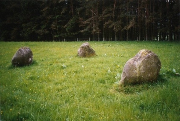
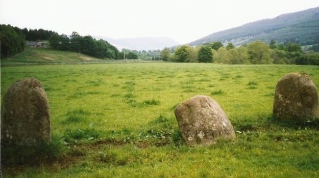
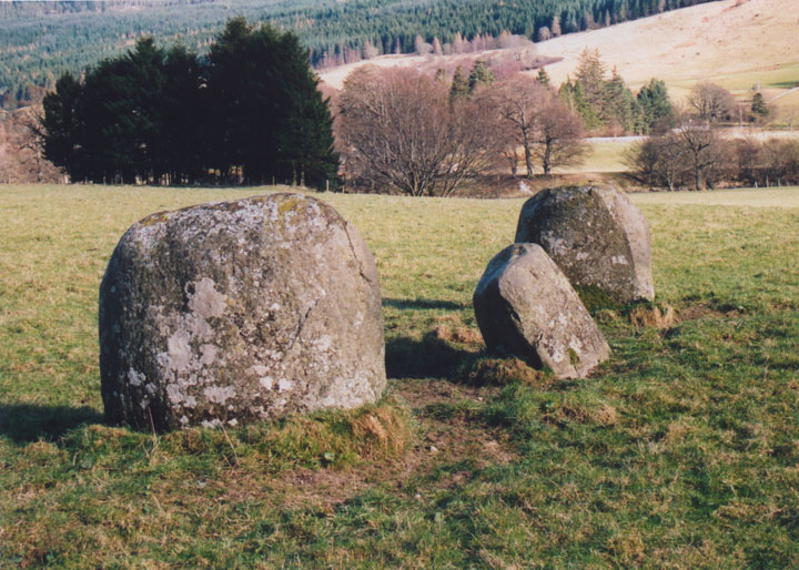
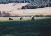
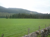
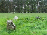
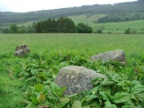
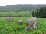
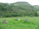
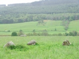
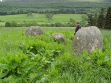
In a field just to the E of the picturesque village of Fortingall, on the banks of the River Lyon, stand three groups of standing stones. Closest to the road are a group of four stones (NE) and a group of three stones (SW), while further into the field, closer to the river, is another group of three (S). All are water-worn, smooth, rounded boulders.
In 1970, the two settings closest to the road (NE & SW) were excavated by archaeologists from Leicester University including Aubrey Burl. It was found that both had been four-poster variants, each comprising of four large stones at the corners of a rectangle, with four smaller stones mid-way between the larger ones. In both cases, the missing five stones had been pushed over and buried deeply in prepared pits at some point in the nineteenth century. The date is known as one of the stones was found to have a Victorian beer bottle under it.
Excavation showed that the SW circle originally had a floor of tiny pebbles within it, and stones of quartz were found by the SSW stone. To the SW of the circle part of an Iron Age jet ring was found. At the centre of the NE circle, a burnt patch containing pieces of charcoal and cremated bone was found.
The S setting wasn't subjected to a full excavation in 1970, but an exploratory excavation at the time revealed a stone hole 4.6m to the NW of the W stone, suggesting a circle of 14.6m in diameter. The three remaining stones stand in an almost straight line aligned SE-NW, but taking into account the stone hole, it would appear that this is the remains of an Aberdeenshire-style recumbent stone circle rather than a stone row or four-poster variant like it's neighbours.
Directions: Head N from Perth on the A9 (sign-posted Inverness). After approximately 30.0km, there is a turn-off to the right (a major junction) onto the A827 for Aberfeldy. Take this turn-off, which curves round and crosses over the A9 to the W. Drive through Logierait, and after about 4.5km turn right at the junction (sign-posted Aberfeldy). This road takes you right to Aberfeldy. Carry on straight into Aberfeldy until you reach a cross-roads with a set of traffic lights.
Turn right here, onto the B846, which you follow for about 8.0km, until you see the turn-off to the left for Fortingall. The circles are approximately 3.5km along this road, in a field to your left, sheltered by trees, but clearly visible from the road. Keep an eye out for Balnacraig farm on your right - the circles are on your left just after here, in the field with the "No Dogs" sign on the gate. There are sometimes cattle in the field, and the eastern circle is sometimes split from it's two neighbours by a low electric fence. Only enter the field if it's empty. It's safe enough to park on the verge of this quiet road.
You may be viewing yesterday's version of this page. To see the most up to date information please register for a free account.




Do not use the above information on other web sites or publications without permission of the contributor.
Click here to see more info for this site
Nearby sites
Key: Red: member's photo, Blue: 3rd party photo, Yellow: other image, Green: no photo - please go there and take one, Grey: site destroyed
Download sites to:
KML (Google Earth)
GPX (GPS waypoints)
CSV (Garmin/Navman)
CSV (Excel)
To unlock full downloads you need to sign up as a Contributory Member. Otherwise downloads are limited to 50 sites.
Turn off the page maps and other distractions
Nearby sites listing. In the following links * = Image available
47m NW 313° Fortingall SW* Stone Circle (NN7451446960)
51m NNW 345° Fortingall NE* Stone Circle (NN7453546977)
358m WNW 283° Fortingall church crosses* Ancient Cross (NN74204702)
485m W 269° Clach a' Phlaigh* Standing Stone (Menhir) (NN74064693)
801m W 276° Fortingall Modern Stone Circle* Modern Stone Circle etc (NN73754703)
1.4km WSW 254° Lyon Bridge Cairn* Cairn (NN73174657)
1.5km WSW 248° Bridge of Lyon Standing Stones* Standing Stones (NN73144641)
1.6km WSW 255° Bridge of Lyon long cairn* Long Barrow (NN72964655)
2.6km SW 230° Cromrar 1* Rock Art (NN72474531)
2.9km SW 228° Cromrar 2* Rock Art (NN72344507)
3.0km SW 229° Cromrar 3 Rock Art (NN72184500)
3.1km SW 229° Fearnan Rock Art (NN72184497)
3.2km SE 127° Scottish Crannog Centre* Museum (NN7704444910)
3.3km ESE 122° Spar Island* Crannog (NN773451)
3.4km SW 229° Clach-na-Cruich (Fearnan) Rock Art (NN7186844743)
3.4km SW 219° Oakbank Crannog* Crannog (NN723443)
3.5km WNW 283° Coille Dhubh Standing Stones (NN711478)
4.0km E 84° An Tobar* Holy Well or Sacred Spring (NN786472)
4.1km E 90° Comrie Bridge Stone Circle (NN787468)
4.3km SSE 157° Acharn Burn* Cairn (NN76074294)
4.3km SE 138° Balmacnaughton* Rock Art (NN7729043649)
4.4km SSE 154° Queen's Wood (Acharn) Rock Art (NN76404291)
4.7km E 91° Taymouth (1)* Standing Stones (NN793467)
4.9km ESE 110° Tombuie Cottage* Rock Art (NN791451)
5.0km SSE 152° Acharn Falls* Stone Circle (NN7678742495)
View more nearby sites and additional images


 We would like to know more about this location. Please feel free to add a brief description and any relevant information in your own language.
 Wir möchten mehr über diese Stätte erfahren. Bitte zögern Sie nicht, eine kurze Beschreibung und relevante Informationen in Deutsch hinzuzufügen.
 Nous aimerions en savoir encore un peu sur les lieux. S'il vous plaît n'hesitez pas à ajouter une courte description et tous les renseignements pertinents dans votre propre langue.
 Quisieramos informarnos un poco más de las lugares. No dude en añadir una breve descripción y otros datos relevantes en su propio idioma.