<< Our Photo Pages >> Kinnell - Stone Circle in Scotland in Stirling
Submitted by golux on Monday, 11 November 2002 Page Views: 21671
Neolithic and Bronze AgeSite Name: Kinnell Alternative Name: Killin, Kinnell Park, AchmoreCountry: Scotland
NOTE: This site is 0.145 km away from the location you searched for.
County: Stirling Type: Stone Circle
Nearest Town: Stirling Nearest Village: Killin
Map Ref: NN5770032803 Landranger Map Number: 51
Latitude: 56.465809N Longitude: 4.311257W
Condition:
| 5 | Perfect |
| 4 | Almost Perfect |
| 3 | Reasonable but with some damage |
| 2 | Ruined but still recognisable as an ancient site |
| 1 | Pretty much destroyed, possibly visible as crop marks |
| 0 | No data. |
| -1 | Completely destroyed |
| 5 | Superb |
| 4 | Good |
| 3 | Ordinary |
| 2 | Not Good |
| 1 | Awful |
| 0 | No data. |
| 5 | Can be driven to, probably with disabled access |
| 4 | Short walk on a footpath |
| 3 | Requiring a bit more of a walk |
| 2 | A long walk |
| 1 | In the middle of nowhere, a nightmare to find |
| 0 | No data. |
| 5 | co-ordinates taken by GPS or official recorded co-ordinates |
| 4 | co-ordinates scaled from a detailed map |
| 3 | co-ordinates scaled from a bad map |
| 2 | co-ordinates of the nearest village |
| 1 | co-ordinates of the nearest town |
| 0 | no data |
Internal Links:
External Links:
I have visited· I would like to visit
43559959 would like to visit
Uralsdaughter visited on 22nd Aug 2018 - their rating: Cond: 5 Amb: 5 Access: 4
XIII visited on 7th May 2017 - their rating: Cond: 4 Amb: 5 Access: 5
Average ratings for this site from all visit loggers: Condition: 4.5 Ambience: 5 Access: 4.5

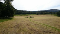
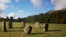
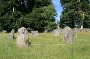
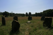
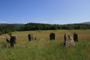
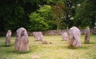
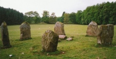
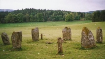
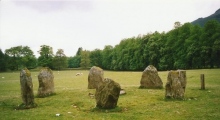
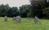
For more information on this Neolithic/Bronze Age stone circle see Canmore ID 24189 which describes this as: "The circle has a diameter of c.10m and is made up of six stones ranging in height from c.1.4m to 1.9m. It lies approximately 100m SE of the River Dochart overlooking the confluence of the Dochart and the Lochay, and the western end of Loch Tay."
They also include an extract from a Publication Account from 1985 which reads: "This small stone circle is situated in a pasture field immediately south-west of Kinnell House. Few circles with stones as tall as these are so well-preserved, and it is possible that the good condition of this example owes more than a little to its proximity to the former home of the MacNab of Mac Nab. During the late 18th and early 19th centuries it was fashionable to have antiquities in the parkland surrounding great houses, and the stone circle may have been 'improved' during that period. There are six stones in the ling and they are arranged on the circumference of a flattened circle measuring 9.5m by 8.5m in diameter. Unlike some other circles, the stones are not graded in height but the two tallest stones (up to 2m high) lie adjacent to each other on the south-west quadrant and they are flanked on the north and east by the two shortest stones (1.2m high). On the top of the northernmost stone there are three plain cup-marks: this is a rather unusual place to find them as they are normally to be seen on the flat faces of standing stones. The Kinnell circle is one of the more westerly examples of a large number of stone circles to be found in Perthshire." (Note: this stone circle was in the former county of Perthshire, now included in Stirling.)
You may be viewing yesterday's version of this page. To see the most up to date information please register for a free account.
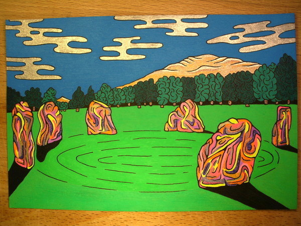
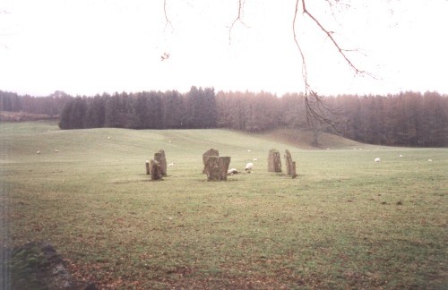
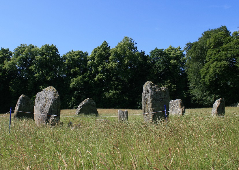

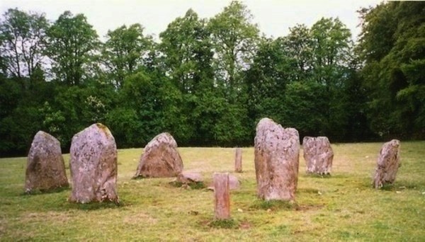





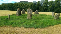
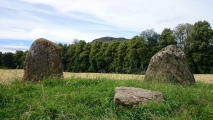

These are just the first 25 photos of Kinnell. If you log in with a free user account you will be able to see our entire collection.
Do not use the above information on other web sites or publications without permission of the contributor.
Click here to see more info for this site
Nearby sites
Key: Red: member's photo, Blue: 3rd party photo, Yellow: other image, Green: no photo - please go there and take one, Grey: site destroyed
Download sites to:
KML (Google Earth)
GPX (GPS waypoints)
CSV (Garmin/Navman)
CSV (Excel)
To unlock full downloads you need to sign up as a Contributory Member. Otherwise downloads are limited to 50 sites.
Turn off the page maps and other distractions
Nearby sites listing. In the following links * = Image available
541m WSW 240° Innis Bhuidhe* Stone Fort or Dun (NN57223255)
609m WNW 289° Fingal's Stone* Standing Stone (Menhir) (NN5712933021)
2.0km SW 230° Acharn Standing Stone* Standing Stone (Menhir) (NN56143160)
2.2km NNE 29° Tir Artair Standing Stone (Killin) Standing Stone (Menhir) (NN5887034720)
2.4km NNE 32° Tir Artair 1 (Killin) Rock Art (NN5906334807)
2.6km ENE 68° Firbush Point (Killin) Hillfort (NN602337)
3.8km NNW 338° Allt na Ceardaich Knoll Rock Art (NN564364)
3.9km SW 219° Mid Lix (Killin) Rock Art (NN55132987)
3.9km WNW 299° Murlaganmore Footprint (Killin) Sculptured Stone (NN54323483)
4.1km WNW 294° Murlaganmore (Killin) Rock Art (NN54023455)
4.1km WNW 293° Murlaganmore 2 (Killin) Rock Art (NN53953455)
4.5km NNW 341° Creag na Cailleach (Killin) Ancient Mine, Quarry or other Industry (NN56403715)
4.9km ENE 74° Creag Ard* Rock Art (NN6250433969)
5.4km WNW 302° Duncroisk* Rock Art (NN53223582)
5.5km WNW 302° Duncroisk 2 (Glen Lochay) Rock Art (NN53133584)
5.5km WNW 301° Corrycharmaig East 4 (Glen Lochay) Rock Art (NN53103582)
5.6km WNW 302° Corrycharmaig East 3 (Glen Lochay) Rock Art (NN5305635877)
5.6km WNW 297° Corrycharmaig 3 (Glen Lochay) Rock Art (NN52783549)
5.7km WNW 301° Corrycharmaig East 2 (Glen Lochay) Rock Art (NN52943588)
5.7km NW 307° Duncroisk Crosses Ancient Cross (NN53253641)
5.8km NW 306° Duncroisk 1 (Glen Lochay) Rock Art (NN53113640)
6.0km NW 304° Tullich Rock Art Rock Art (NN52813634)
6.0km NW 308° Tirai* Standing Stone (Menhir) (NN53083670)
6.7km NW 305° East Tullich Enclosure (Glen Lochay) Ancient Village or Settlement (NN52363685)
6.9km NW 325° Duncroisk (Glen Lochay) Hillfort (NN539386)
View more nearby sites and additional images


 We would like to know more about this location. Please feel free to add a brief description and any relevant information in your own language.
 Wir möchten mehr über diese Stätte erfahren. Bitte zögern Sie nicht, eine kurze Beschreibung und relevante Informationen in Deutsch hinzuzufügen.
 Nous aimerions en savoir encore un peu sur les lieux. S'il vous plaît n'hesitez pas à ajouter une courte description et tous les renseignements pertinents dans votre propre langue.
 Quisieramos informarnos un poco más de las lugares. No dude en añadir una breve descripción y otros datos relevantes en su propio idioma.