<< Our Photo Pages >> Ballageich Hill - Cairn in Scotland in East Renfrewshire
Submitted by markj99 on Friday, 05 May 2023 Page Views: 784
Neolithic and Bronze AgeSite Name: Ballageich Hill Alternative Name: BallagiochCountry: Scotland County: East Renfrewshire Type: Cairn
Nearest Town: East Kilbride Nearest Village: Eaglesham
Map Ref: NS53745005
Latitude: 55.721726N Longitude: 4.330148W
Condition:
| 5 | Perfect |
| 4 | Almost Perfect |
| 3 | Reasonable but with some damage |
| 2 | Ruined but still recognisable as an ancient site |
| 1 | Pretty much destroyed, possibly visible as crop marks |
| 0 | No data. |
| -1 | Completely destroyed |
| 5 | Superb |
| 4 | Good |
| 3 | Ordinary |
| 2 | Not Good |
| 1 | Awful |
| 0 | No data. |
| 5 | Can be driven to, probably with disabled access |
| 4 | Short walk on a footpath |
| 3 | Requiring a bit more of a walk |
| 2 | A long walk |
| 1 | In the middle of nowhere, a nightmare to find |
| 0 | No data. |
| 5 | co-ordinates taken by GPS or official recorded co-ordinates |
| 4 | co-ordinates scaled from a detailed map |
| 3 | co-ordinates scaled from a bad map |
| 2 | co-ordinates of the nearest village |
| 1 | co-ordinates of the nearest town |
| 0 | no data |
Internal Links:
External Links:
I have visited· I would like to visit
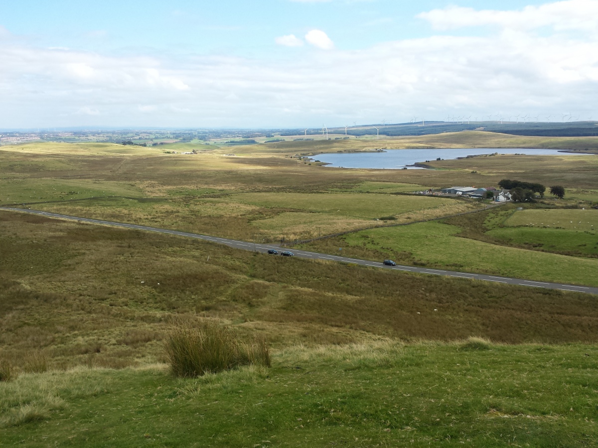
markj99 visited on 2nd May 2023 - their rating: Cond: 2 Amb: 4 Access: 4 When I was young, the B764 Eaglesham Moor road was one of the shortest routes from Ayr to Edinburgh. In fact I climbed up to the cairn several times in my pre-antequarian days failing to recognise a cairn. The cairn is built on a natural viewpoint with an adjacent lay-by. It is therefore all the more surprising that the site has not been already posted on TMP. Since the construction of a dual carriageway to East Kilbride from the A77, the Eaglesham moor road has become a cycle-friendly scenic alternative route to East Kilbride. It is altogether a more peaceful place to linger now.
DJCM visited on 16th Aug 2016 - their rating: Cond: 2 Amb: 4 Access: 4 Another easy walk up to the 327m cairn top of Ballageich, not to be confused with the true summit along the path at 333m.
DJCM visited on 7th Sep 2014 - their rating: Cond: 2 Amb: 4 Access: 4 A quick local hike up my childhood sledging hill to the ancient cairn spot to enjoy the view.
Average ratings for this site from all visit loggers: Condition: 2 Ambience: 4 Access: 4
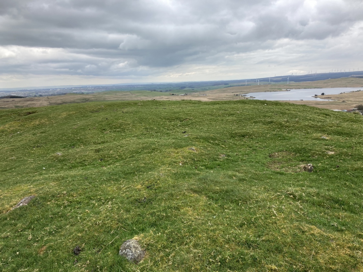
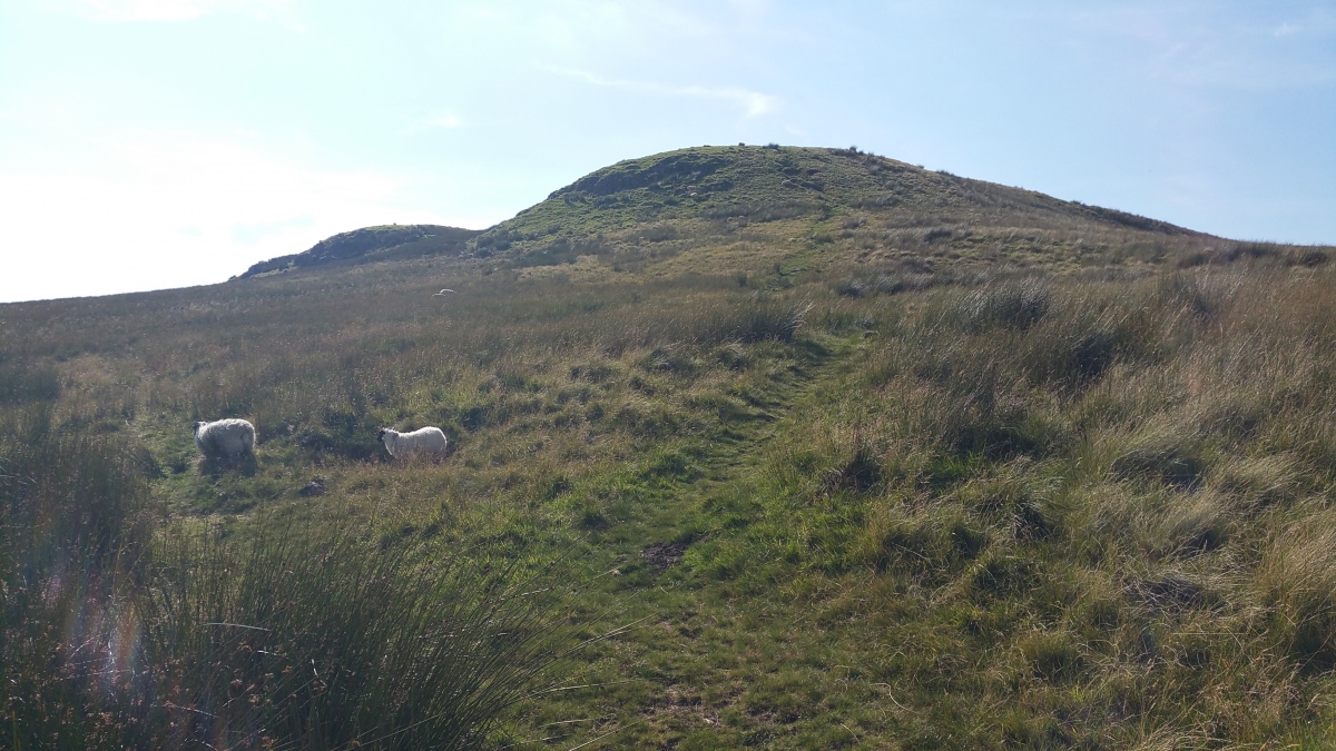
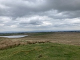
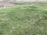
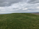
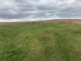
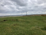
Ballageich Hill Cairn is located on the E edge of the summit plateau of Ballageich Hill, c. 2 miles SW of Eaglesham in East Renfrewshire. There is a lay-by on the B764 at NS 53933 50021, opposite to Greenfield Farm track. A path from the lay-by, heading NW, leads c. 180 yards up to the elevated remains of Ballageich Hill Cairn. The grassy sub-circular cairn measures c. 3 feet high and 66 feet in diameter. The surface of the cairn is irregular with exposed stones protruding through the turf. There is a round excavation pit, measuring c. 6 feet across and 1 foot deep, in the S half of the mound. Ballageich Hill Cairn has expansive views to the N, E and S. The W view looks across moorland towards the summit of Ballageich Hill. Canmore ID 43978 lists the cairn under the alternative spelling "Ballagioch".
You may be viewing yesterday's version of this page. To see the most up to date information please register for a free account.




Do not use the above information on other web sites or publications without permission of the contributor.
Click here to see more info for this site
Nearby sites
Key: Red: member's photo, Blue: 3rd party photo, Yellow: other image, Green: no photo - please go there and take one, Grey: site destroyed
Download sites to:
KML (Google Earth)
GPX (GPS waypoints)
CSV (Garmin/Navman)
CSV (Excel)
To unlock full downloads you need to sign up as a Contributory Member. Otherwise downloads are limited to 50 sites.
Turn off the page maps and other distractions
Nearby sites listing. In the following links * = Image available
1.4km E 92° West Revoch Stone Row / Alignment (NS55104995)
6.8km WNW 297° Covenanter's Stone* Stone Circle (NS47735333)
6.9km NW 326° Duncarnock Hillfort Hillfort (NS50105590)
7.2km WNW 291° Moyne Moor* Cairn (NS471529)
7.7km N 6° Rouken Glen Park* Rock Art (NS54795771)
10.7km N 360° Boydstone Road (Eastwood) Standing Stone (Menhir) (NS541608)
11.2km NE 55° Law Knowe* Cairn (NS63175613)
11.6km N 2° Pollok House Barrow* Round Barrow(s) (NS54606164)
12.8km SSE 166° The Dagon Stone* Standing Stone (Menhir) (NS56333746)
13.1km W 269° Thougritstane* Natural Stone / Erratic / Other Natural Feature (NS40575024)
13.1km S 188° Molmont Stone Circle (NS514371)
13.2km NW 319° Gleniffer Braes Menhirs* Standing Stones (NS45356026)
13.8km WSW 240° Buiston Crannog* Crannog (NS41554352)
14.4km E 92° Shawton (Chapeltown) Standing Stone (Menhir) (NS68124906)
14.7km S 180° Gallow Law (Hillend) Cairn (NS5313535382)
14.8km NNW 338° Barochan Cross* Ancient Cross (NS48556395)
15.0km NE 38° Hamilton Farm (Cambuslang) Cairn (NS633616)
15.1km SSE 157° Loanfoot* Chambered Cairn (NS592360)
15.3km WNW 303° Walls Hill Fort Hillfort (NS4117058800)
15.3km NNE 22° Arns Well (Glasgow) Holy Well or Sacred Spring (NS59966406)
15.3km NW 316° Craigston Wood Menhir* Standing Stone (Menhir) (NS4332961360)
15.4km NW 317° High Craigenfeoch Rock Art* Rock Art (NS43616168)
15.6km NNE 17° St Thenew's Well (Glasgow) Holy Well or Sacred Spring (NS589648)
15.9km NNE 19° Stock Well (Glasgow) Holy Well or Sacred Spring (NS594649)
15.9km N 4° The Govan Stones* Museum (NS55346590)
View more nearby sites and additional images


 We would like to know more about this location. Please feel free to add a brief description and any relevant information in your own language.
 Wir möchten mehr über diese Stätte erfahren. Bitte zögern Sie nicht, eine kurze Beschreibung und relevante Informationen in Deutsch hinzuzufügen.
 Nous aimerions en savoir encore un peu sur les lieux. S'il vous plaît n'hesitez pas à ajouter une courte description et tous les renseignements pertinents dans votre propre langue.
 Quisieramos informarnos un poco más de las lugares. No dude en añadir una breve descripción y otros datos relevantes en su propio idioma.