<< Our Photo Pages >> Parys Mountain - Ancient Mine, Quarry or other Industry in Wales in Anglesey
Submitted by Andy B on Wednesday, 14 December 2005 Page Views: 11508
Multi-periodSite Name: Parys Mountain Alternative Name: Mynydd ParysCountry: Wales
NOTE: This site is 0.4 km away from the location you searched for.
County: Anglesey Type: Ancient Mine, Quarry or other Industry
Nearest Town: Amlwch
Map Ref: SH445905
Latitude: 53.388379N Longitude: 4.339696W
Condition:
| 5 | Perfect |
| 4 | Almost Perfect |
| 3 | Reasonable but with some damage |
| 2 | Ruined but still recognisable as an ancient site |
| 1 | Pretty much destroyed, possibly visible as crop marks |
| 0 | No data. |
| -1 | Completely destroyed |
| 5 | Superb |
| 4 | Good |
| 3 | Ordinary |
| 2 | Not Good |
| 1 | Awful |
| 0 | No data. |
| 5 | Can be driven to, probably with disabled access |
| 4 | Short walk on a footpath |
| 3 | Requiring a bit more of a walk |
| 2 | A long walk |
| 1 | In the middle of nowhere, a nightmare to find |
| 0 | No data. |
| 5 | co-ordinates taken by GPS or official recorded co-ordinates |
| 4 | co-ordinates scaled from a detailed map |
| 3 | co-ordinates scaled from a bad map |
| 2 | co-ordinates of the nearest village |
| 1 | co-ordinates of the nearest town |
| 0 | no data |
Be the first person to rate this site - see the 'Contribute!' box in the right hand menu.
Internal Links:
External Links:
I have visited· I would like to visit
cactus_chris visited on 22nd Apr 2022 - their rating: Cond: 5 Amb: 5 Access: 3
cactus_chris visited on 27th Jun 2019 - their rating: Cond: 5 Amb: 5 Access: 3
cactus_chris visited on 25th Jun 2019 - their rating: Cond: 5 Amb: 5 Access: 3
guile have visited here
Average ratings for this site from all visit loggers: Condition: 5 Ambience: 5 Access: 3
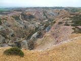
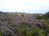
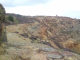
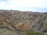
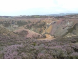
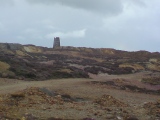
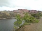
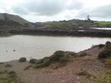
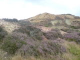
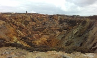
The copper from the mine at Parys Mountain dominated the world's markets during the 1780s, when the mine was allegededly the largest in the world. It was used to sheath the admiralty's wooden ships of war in order to prevent the growth of seaweed and barnacles and to prevent boring by worms. This increased the speed and manoeuvrability of the vessels, although it is said that Parys Mountain copper was also sold to the French for use by their fleet.
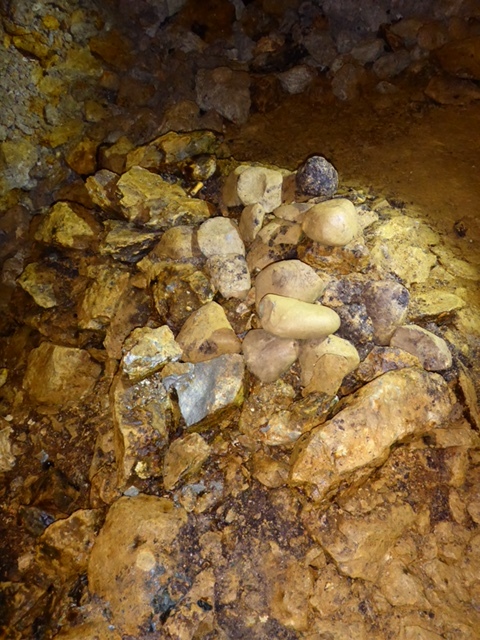
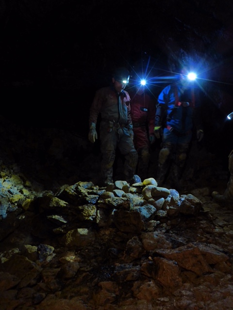
Excavations in 2002 enabled sub-surface debris to be dated to nearly four thousand years old, (the early Bronze Age), and access has also been regained to the sealed underground workings of the Parys mine revealing evidence for this ancient mining. Parys Mountain is thus an addition to the very few sites in Britain where there is evidence for the prehistoric beginnings of the British metal mining industry.
Note: Grant for Ancient Copper Mine, see comment
You may be viewing yesterday's version of this page. To see the most up to date information please register for a free account.



Do not use the above information on other web sites or publications without permission of the contributor.
Click here to see more info for this site
Nearby sites
Key: Red: member's photo, Blue: 3rd party photo, Yellow: other image, Green: no photo - please go there and take one, Grey: site destroyed
Download sites to:
KML (Google Earth)
GPX (GPS waypoints)
CSV (Garmin/Navman)
CSV (Excel)
To unlock full downloads you need to sign up as a Contributory Member. Otherwise downloads are limited to 50 sites.
Turn off the page maps and other distractions
Nearby sites listing. In the following links * = Image available
3.4km NE 44° St Eilian (Llaneilian)* Ancient Cross (SH46949288)
3.5km NE 34° St Eilian's Well* Holy Well or Sacred Spring (SH46569329)
3.5km NNE 32° Porth Newydd* Natural Stone / Erratic / Other Natural Feature (SH46449341)
3.8km NW 307° Werthyr* Standing Stone (Menhir) (SH4152292868)
3.9km W 264° Bodewryd* Standing Stone (Menhir) (SH406902)
4.7km ESE 119° Ogof Arian Cave or Rock Shelter (SH485881)
4.8km SSW 195° Bryn Dyfrydog* Standing Stone (Menhir) (SH431859)
4.9km SSW 193° Maen Chwyf* Natural Stone / Erratic / Other Natural Feature (SH43268574)
5.1km WSW 257° Maen y Goges* Natural Stone / Erratic / Other Natural Feature (SH39518948)
5.9km SE 146° Ponc y Garreg Hir* Standing Stone (Menhir) (SH47668549)
6.2km S 186° Llwydiarth Esgob Stone* Rock Art (SH436844)
6.2km S 177° Carreg Leidr* Standing Stone (Menhir) (SH446843)
6.3km SSW 195° Bedd y Foel* Burial Chamber or Dolmen (SH42698444)
6.3km S 175° Clorach Wells* Not Known (by us) (SH4487584177)
6.3km S 175° Ffynnon Deiniol* Holy Well or Sacred Spring (SH44908416)
6.4km S 175° Ffynnon Gybi* Holy Well or Sacred Spring (SH44908414)
6.4km SE 135° Rhos Lligwy Burnt Mound Misc. Earthwork (SH4888185780)
6.4km SE 133° Coed Newydd Burnt Mounds Misc. Earthwork (SH4904885932)
6.8km SE 128° Din Lligwy* Ancient Village or Settlement (SH4970286134)
6.8km SE 133° Bwlch-Y-Dafarn Ancient Village or Settlement (SH4929285663)
6.9km SE 140° Tyddyn Isaf Burnt Mound Misc. Earthwork (SH4873185067)
6.9km SSE 167° Llanfihangel Tre'r Beirdd Cross* Ancient Cross (SH4588783693)
7.0km SE 137° Bwlch-Y-Dafarn Settlement Enclosure Ancient Village or Settlement (SH4910585235)
7.0km SE 127° Parc Salmon Roundhouse Ancient Village or Settlement (SH4999086149)
7.0km SE 138° Bwlch-Y-Dafarn Enclosed Settlement Ancient Village or Settlement (SH4900085103)
View more nearby sites and additional images


 We would like to know more about this location. Please feel free to add a brief description and any relevant information in your own language.
 Wir möchten mehr über diese Stätte erfahren. Bitte zögern Sie nicht, eine kurze Beschreibung und relevante Informationen in Deutsch hinzuzufügen.
 Nous aimerions en savoir encore un peu sur les lieux. S'il vous plaît n'hesitez pas à ajouter une courte description et tous les renseignements pertinents dans votre propre langue.
 Quisieramos informarnos un poco más de las lugares. No dude en añadir una breve descripción y otros datos relevantes en su propio idioma.