<< Our Photo Pages >> Warbstow Bury - Hillfort in England in Cornwall
Submitted by TheCaptain on Thursday, 26 June 2014 Page Views: 12149
Iron Age and Later PrehistorySite Name: Warbstow Bury Alternative Name: Warbstow BarrowCountry: England County: Cornwall Type: Hillfort
Nearest Town: Launceston Nearest Village: Warbstow
Map Ref: SX20149075
Latitude: 50.688528N Longitude: 4.547663W
Condition:
| 5 | Perfect |
| 4 | Almost Perfect |
| 3 | Reasonable but with some damage |
| 2 | Ruined but still recognisable as an ancient site |
| 1 | Pretty much destroyed, possibly visible as crop marks |
| 0 | No data. |
| -1 | Completely destroyed |
| 5 | Superb |
| 4 | Good |
| 3 | Ordinary |
| 2 | Not Good |
| 1 | Awful |
| 0 | No data. |
| 5 | Can be driven to, probably with disabled access |
| 4 | Short walk on a footpath |
| 3 | Requiring a bit more of a walk |
| 2 | A long walk |
| 1 | In the middle of nowhere, a nightmare to find |
| 0 | No data. |
| 5 | co-ordinates taken by GPS or official recorded co-ordinates |
| 4 | co-ordinates scaled from a detailed map |
| 3 | co-ordinates scaled from a bad map |
| 2 | co-ordinates of the nearest village |
| 1 | co-ordinates of the nearest town |
| 0 | no data |
Internal Links:
External Links:
I have visited· I would like to visit
lucasn visited on 3rd Apr 2018 - their rating: Cond: 3 Amb: 4 Access: 5
TheCaptain have visited here
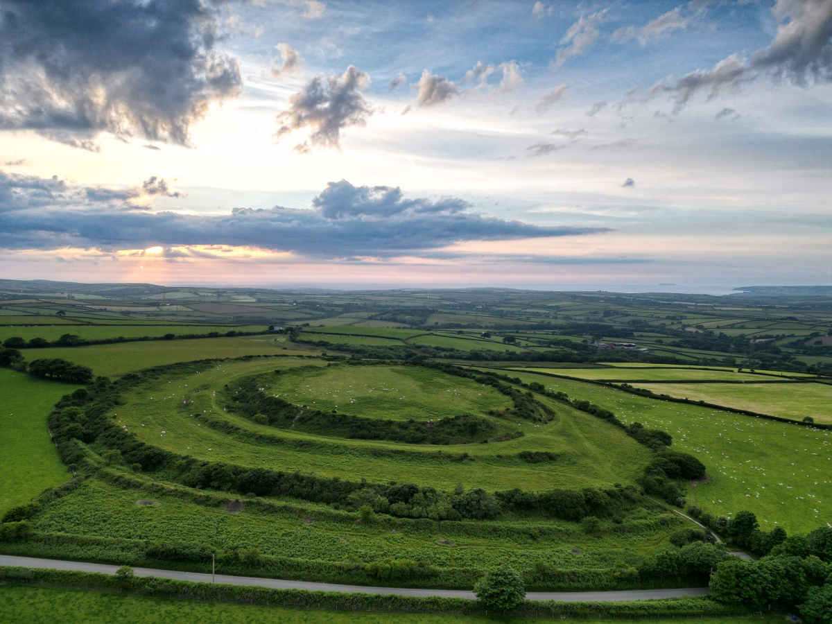
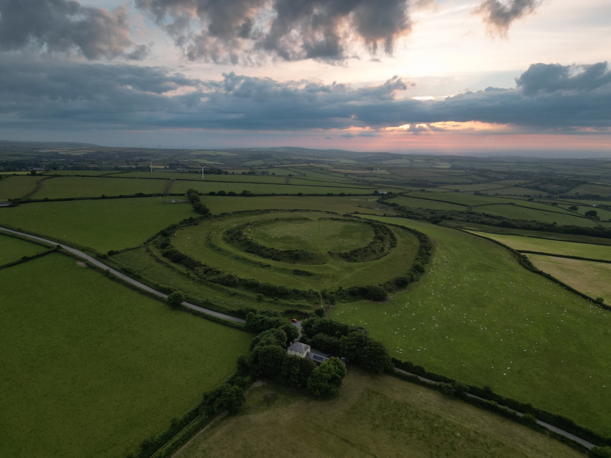
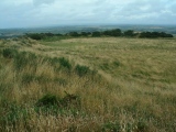
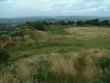
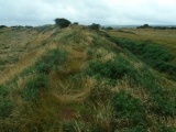
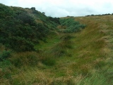
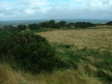
The fort consists of two complete rings of massive ditch and banks, the outer walls of which are almost covered with gorse and bracken, with deep ditches at the bottom of each rampart. There is also an incomplete third ring around approximately half of the fort in between the outer and inner ramparts.
There are two entrances opposite each other at the northwest and southeast through both rings, while a thrid entrance at the southwest is only through the outer defences.
At the centre of the fort is a large mound, 22 metres long known as the Giant's Grave or King Arthur's Tomb, which is possibly the remains of a neolithic long barrow, or perhaps a medieval rabbit warren.
There is a small carpark beside the southeastern entrance, and a signboard which gives much information about the place. Access to the fort is open to all.
Note: Warbstow Bury: Recent survey results in report, see the comment
You may be viewing yesterday's version of this page. To see the most up to date information please register for a free account.



Do not use the above information on other web sites or publications without permission of the contributor.
Click here to see more info for this site
Nearby sites
Key: Red: member's photo, Blue: 3rd party photo, Yellow: other image, Green: no photo - please go there and take one, Grey: site destroyed
Download sites to:
KML (Google Earth)
GPX (GPS waypoints)
CSV (Garmin/Navman)
CSV (Excel)
To unlock full downloads you need to sign up as a Contributory Member. Otherwise downloads are limited to 50 sites.
Turn off the page maps and other distractions
Nearby sites listing. In the following links * = Image available
2.4km SW 219° Wilsey Down Tumuli* Barrow Cemetery (SX18608896)
4.0km S 180° Tregulland Barrow Cup Marks (Trenglos) Rock Art (SX20018674)
4.1km NW 323° Small Hill Tumuli* Barrow Cemetery (SX17769408)
4.7km SSW 211° Lambrenny Cross* Ancient Cross (SX17558677)
4.9km NNW 331° Wainhouse Corner Barrows* Round Barrow(s) (SX17889510)
5.5km NNW 348° St James's Well (Jacobstow)* Holy Well or Sacred Spring (SX19149619)
5.8km WSW 244° Hendra Tumuli* Barrow Cemetery (SX14828841)
6.0km SW 234° Davidstow Well* Holy Well or Sacred Spring (SX1516187366)
6.0km S 177° St Clether's Well* Holy Well or Sacred Spring (SX203847)
6.1km WSW 242° Tich Barrow Tumuli* Barrow Cemetery (SX14678810)
6.6km S 175° St Clether Crosses* Ancient Cross (SX205842)
6.9km S 188° Tregonger Crossroads Cross* Ancient Cross (SX189840)
6.9km SE 132° Bury Down Fort Hillfort (SX251859)
7.1km W 278° Cargurra Camp* Ancient Village or Settlement (SX131920)
7.1km W 264° Lesnewth Cross* Ancient Cross (SX130902)
7.1km WNW 288° Higher Pennycrocker Barrows* Round Barrow(s) (SX1341093211)
7.2km W 272° St Juliot's Churchyard* Ancient Cross (SX129913)
7.2km NNE 19° Ashbury hillfort* Hillfort (SX228975)
7.3km SSE 156° Laneast* Ancient Cross (SX229840)
7.4km WSW 248° Hendraburnick Quoit* Chambered Cairn (SX13218818)
7.4km SSE 156° Jordan's Well* Holy Well or Sacred Spring (SX229839)
7.4km W 259° Tregrylls Cross* Ancient Cross (SX1281989619)
7.6km SSW 201° Newpark Cross* Ancient Cross (SX17148372)
7.6km SSW 203° Trevillian's Gate Barrow* Round Barrow(s) (SX16858384)
7.7km SSW 209° Davidstow Moor Barrow* Round Barrow(s) (SX16168417)
View more nearby sites and additional images


 We would like to know more about this location. Please feel free to add a brief description and any relevant information in your own language.
 Wir möchten mehr über diese Stätte erfahren. Bitte zögern Sie nicht, eine kurze Beschreibung und relevante Informationen in Deutsch hinzuzufügen.
 Nous aimerions en savoir encore un peu sur les lieux. S'il vous plaît n'hesitez pas à ajouter une courte description et tous les renseignements pertinents dans votre propre langue.
 Quisieramos informarnos un poco más de las lugares. No dude en añadir una breve descripción y otros datos relevantes en su propio idioma.