<< Our Photo Pages >> Gors Fawr Stone Circle - Stone Circle in Wales in Pembrokeshire
Submitted by Andy B on Wednesday, 05 March 2025 Page Views: 42766
Neolithic and Bronze AgeSite Name: Gors Fawr Stone CircleCountry: Wales County: Pembrokeshire Type: Stone Circle
Nearest Town: Cardigan Nearest Village: Crymych
Map Ref: SN13462938 Landranger Map Number: 145
Latitude: 51.931588N Longitude: 4.714677W
Condition:
| 5 | Perfect |
| 4 | Almost Perfect |
| 3 | Reasonable but with some damage |
| 2 | Ruined but still recognisable as an ancient site |
| 1 | Pretty much destroyed, possibly visible as crop marks |
| 0 | No data. |
| -1 | Completely destroyed |
| 5 | Superb |
| 4 | Good |
| 3 | Ordinary |
| 2 | Not Good |
| 1 | Awful |
| 0 | No data. |
| 5 | Can be driven to, probably with disabled access |
| 4 | Short walk on a footpath |
| 3 | Requiring a bit more of a walk |
| 2 | A long walk |
| 1 | In the middle of nowhere, a nightmare to find |
| 0 | No data. |
| 5 | co-ordinates taken by GPS or official recorded co-ordinates |
| 4 | co-ordinates scaled from a detailed map |
| 3 | co-ordinates scaled from a bad map |
| 2 | co-ordinates of the nearest village |
| 1 | co-ordinates of the nearest town |
| 0 | no data |
Internal Links:
External Links:
I have visited· I would like to visit
ethelpugh SumDoood would like to visit
rhodct visited on 25th May 2024 - their rating: Cond: 3 Amb: 4 Access: 4
woodini254 visited on 1st Jan 2021 - their rating: Cond: 5 Amb: 5 Access: 4 A quote from a previous visit.
"A small but very impressive stone circle situated not far from a road with parking for one or two vehicles. The stone circle is probably best visited in the winter when the vegetation is low."
SandyG visited on 3rd Feb 2016 - their rating: Cond: 4 Amb: 4 Access: 4
Anne T visited on 23rd Aug 2014 - their rating: Cond: 4 Amb: 5 Access: 4 Gors Fawr Stone Circle, Pembrokeshire: After stopping off at St. Brynach’s church in Nevern to see the stone crosses, we started on our long journey home to Northumberland. We’d identified a number of ancient sites we wanted to see on our way back, including the Gors Fawr Stone Circle. My husband had hoped to see the site in the Presili Hills where they’d quarried the stones for Stonehenge, but time (and my horror of precipices and steep drops) wouldn’t allow – on our next trip, we’ll need to allow another month at least to see all the things we want to in the area!
Following the A478 and turning off towards Mynacholog-ddu at the village of Crymych, it was easy to find the little gem of Gors Fawr. Again, I hadn’t realised what a tourist attraction this was. There was a small lay-by across from the house ‘Pen-rhos’, and an easy walk across the field to the circle.
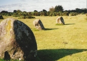
It was much smaller than I imagined from the photographs I’d seen on the Portal, but if I’m allowed to, I'd use the word ‘cute’ as the most accurate description that comes to mind. One of the first things I saw almost in the middle of the circle was a small Wiccan altar, made of small rounded blue pebbles, with its apex pointing towards the Gors Fawr Outliers.
Walking just outside the perimeter of the circle, we became aware of smaller stones buried in the grass at regular intervals about 3-4 metres outside the main circle, and wondered if there was an outer circle (but then there were so many other stones in the field that we let our imaginations run a little riot with ideas of stone avenues and tumuli). Since I've been home, I've read on the Ancient Wisdom of Wales web site that a survey had been done, and nothing found.
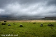
But what a place to build a circle – on a wide, flat plateau of moorland, with the Presili hills rising to the north. This stone circle seeming to lie in the centre of the graceful bowl formed by the hills, which rose up blue and misty in the distance. The circle somehow seemed to me to capture the essence and magnificence of the landscape.
There was a small, constant stream of other visitors. I got into conversation with a family who said they’d had trouble finding the circle, and had stopped by the Outliers and walked back. The man told us about the apparent alignments between the Outliers and the Circle at Solstice, so I’ll need to check this out. I didn't have the courage to ask him if he was another Portal user (but next time I won't be so shy!).
I would have loved to have stayed until sunset.
Landsker visited on 31st Aug 2013 - their rating: Cond: 5 Amb: 4 Access: 5
woodini254 visited on 30th May 2011 - their rating: Cond: 5 Amb: 5 Access: 4 A small but very impressive stone circle situated not far from a road with parking for one or two vehicles. The stone circle is probably best visited in the winter when the vegetation is low.
BolshieBoris visited on 1st Aug 1993 - their rating: Cond: 5 Amb: 5 Access: 4
coldrum visited - their rating: Cond: 3 Amb: 5 Access: 4
JCBH visited - their rating: Cond: 3 Amb: 4 Access: 4 Gors Fawr Stone Circle. Visited many times. Easily accessed from the road.
Bladup PAB AngieLake mrcrow have visited here
Average ratings for this site from all visit loggers: Condition: 4.11 Ambience: 4.56 Access: 4.11
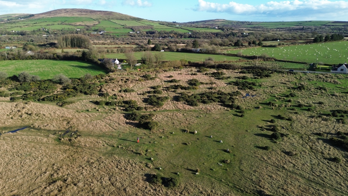
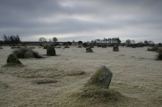
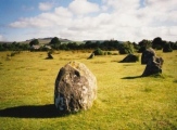
The ring is best visited in the winter as in the summer it lives up to its name and is usually covered in gorse! (although in Welsh gors fawr actually means a 'big area of boggy land' and has nothing to do with gorse bushes) The stone circle is easily accessible on a public footpath with parking in a nearby lay-by.
You may be viewing yesterday's version of this page. To see the most up to date information please register for a free account.


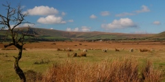
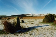


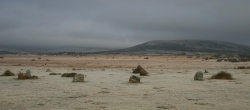






These are just the first 25 photos of Gors Fawr Stone Circle. If you log in with a free user account you will be able to see our entire collection.
Do not use the above information on other web sites or publications without permission of the contributor.
Click here to see more info for this site
Nearby sites
Key: Red: member's photo, Blue: 3rd party photo, Yellow: other image, Green: no photo - please go there and take one, Grey: site destroyed
Download sites to:
KML (Google Earth)
GPX (GPS waypoints)
CSV (Garmin/Navman)
CSV (Excel)
To unlock full downloads you need to sign up as a Contributory Member. Otherwise downloads are limited to 50 sites.
Turn off the page maps and other distractions
Nearby sites listing. In the following links * = Image available
130m NNE 20° Gors Fawr Outliers* Standing Stones (SN13512950)
891m N 2° Waldo Memorial* Modern Stone Circle etc (SN13523027)
1.0km N 2° Bluestones Monument* Modern Stone Circle etc (SN13533038)
1.1km N 356° Mynachlog-ddu stones* Standing Stones (SN13433049)
1.9km N 353° Craig Talfynedd Ancient Village or Settlement (SN133313)
2.0km SW 224° Llangolman Round Barrow(s) (SN1228)
2.2km NNW 344° Carn Sian Cairn* Not Known (by us) (SN1294231474)
2.2km WSW 247° Penmorgan* Standing Stone (Menhir) (SN114286)
2.2km WSW 247° Rhosfach Stone Standing Stone (Menhir) (SN114286)
2.2km NNW 342° Carn Sian Linear feature* Stone Row / Alignment (SN1286831525)
2.2km NNW 341° Carn Sian - unknown* Cairn (SN1282431539)
2.3km WNW 298° Glynsaithmaen* Standing Stones (SN115305)
2.3km NW 313° Cwm Garw* Standing Stones (SN11823102)
2.4km NNE 21° Carn Menyn (Gate Post?)* Standing Stone (Menhir) (SN1438131557)
2.4km WSW 241° Parc Maen Barrow Round Barrow(s) (SN113283)
2.4km WSW 241° Parc Maen Stone* Standing Stone (Menhir) (SN113283)
2.4km WNW 288° Glynsaithmaen SW* Standing Stone (Menhir) (SN11173021)
2.5km WNW 290° Gate Standing Stone* Standing Stone (Menhir) (SN11143033)
2.5km ENE 74° Foel Dyrch, Pentre Galar Cairn (SN159300)
2.6km SSE 153° Glandymawr* Cairn (SN14562702)
2.8km SE 126° Carn Besi* Chambered Tomb (SN15632768)
2.8km SSE 151° Castell Garw* Ancient Village or Settlement (SN147269)
2.8km SSE 168° Yr Allor* Standing Stones (SN13952661)
2.8km S 170° Eisteddfa Brynber Round Barrow(s) (SN13842659)
2.9km N 356° Carn Arthur* Natural Stone / Erratic / Other Natural Feature (SN1337532232)
View more nearby sites and additional images


 We would like to know more about this location. Please feel free to add a brief description and any relevant information in your own language.
 Wir möchten mehr über diese Stätte erfahren. Bitte zögern Sie nicht, eine kurze Beschreibung und relevante Informationen in Deutsch hinzuzufügen.
 Nous aimerions en savoir encore un peu sur les lieux. S'il vous plaît n'hesitez pas à ajouter une courte description et tous les renseignements pertinents dans votre propre langue.
 Quisieramos informarnos un poco más de las lugares. No dude en añadir una breve descripción y otros datos relevantes en su propio idioma.