<< Our Photo Pages >> Llech Y Dribedd - Chambered Tomb in Wales in Pembrokeshire
Submitted by cerrig on Monday, 15 May 2023 Page Views: 27136
Neolithic and Bronze AgeSite Name: Llech Y Dribedd Alternative Name: Llech y Tripedd, Llech y DrybeddCountry: Wales County: Pembrokeshire Type: Chambered Tomb
Nearest Town: Newport Nearest Village: Moylgrove
Map Ref: SN10054319 Landranger Map Number: 145
Latitude: 52.054451N Longitude: 4.771868W
Condition:
| 5 | Perfect |
| 4 | Almost Perfect |
| 3 | Reasonable but with some damage |
| 2 | Ruined but still recognisable as an ancient site |
| 1 | Pretty much destroyed, possibly visible as crop marks |
| 0 | No data. |
| -1 | Completely destroyed |
| 5 | Superb |
| 4 | Good |
| 3 | Ordinary |
| 2 | Not Good |
| 1 | Awful |
| 0 | No data. |
| 5 | Can be driven to, probably with disabled access |
| 4 | Short walk on a footpath |
| 3 | Requiring a bit more of a walk |
| 2 | A long walk |
| 1 | In the middle of nowhere, a nightmare to find |
| 0 | No data. |
| 5 | co-ordinates taken by GPS or official recorded co-ordinates |
| 4 | co-ordinates scaled from a detailed map |
| 3 | co-ordinates scaled from a bad map |
| 2 | co-ordinates of the nearest village |
| 1 | co-ordinates of the nearest town |
| 0 | no data |
Internal Links:
External Links:
I have visited· I would like to visit
43559959 SumDoood emh504 would like to visit
theSongofFfraed visited on 1st Jan 2018 - their rating: Cond: 4 Amb: 4 My dragon venture took me here. One upright, from memory has a severe crack.
woodini254 visited on 26th Oct 2011 - their rating: Cond: 4 Amb: 4 Access: 4 This is a very easy site to visit, you need to park on the main road that runs between Newport and Moylegrove. A short walk up the access path to Penlan Farm which bears round to the left and the monument can be found via a stile in a field on your right. You do not need permission from Penlan Farm.
Serenstar visited - their rating: Cond: 4 Amb: 4 Access: 4
Penbron Andy B paulcall have visited here
Average ratings for this site from all visit loggers: Condition: 4 Ambience: 4 Access: 4
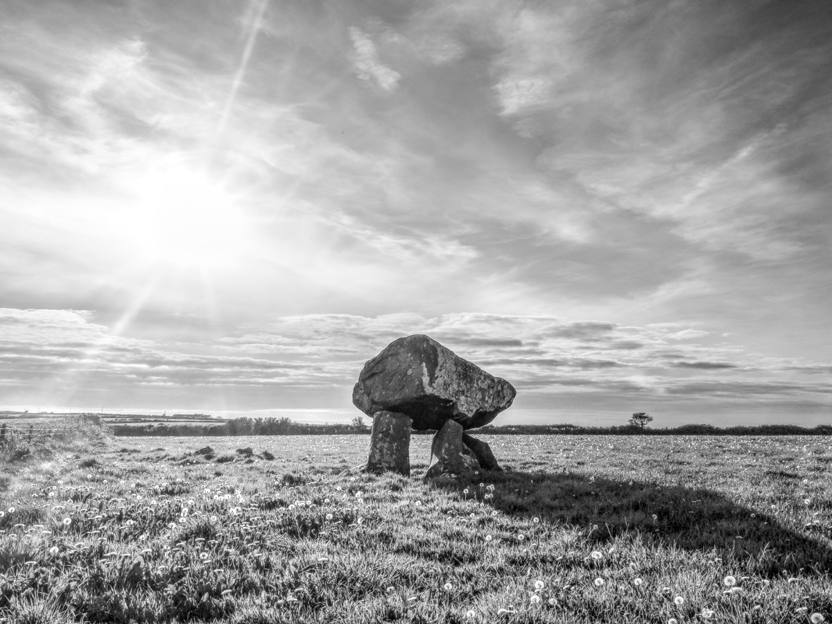
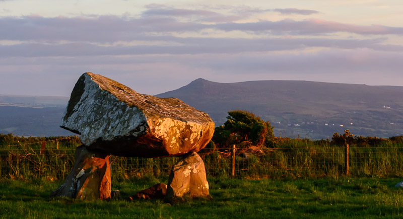
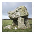
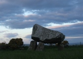
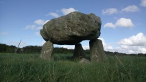
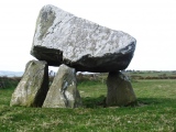
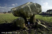
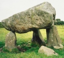
The triangular-shaped capstone measures some 10 ft by 9 ft altogether, and is somewhat precariously perched on it's three stone supports or up-rights - which almost look as if they might give way at any moment. A local legend says that the capstone was thrown from the top of Carn Ingli near Nevern to it's present position by Samson - either the biblical Samson or the 6th century saint who appears to have had remarkable strength, if you listen to some other legends associated with him.
This monument is recorded as Coflein NPRN 304086, which simply describes it as "A free standing megalithic chamber, with earthfast stones supporting a substantial capstone: no traces of a mound are mentioned". Their entry includes photographs and aerial photographs.
The Journal of Antiquities also includes an entry for Llech-y-Dribedd, Moylgrove, Pembrokeshire, Wales, which includes a photograph, a description and a list of several reference sources. The Journal adds: "The earthen mound that once covered the tomb has long since eroded away, although one of the recumbent stones beneath the capstone was said to be ‘still standing’ in the early 18th century".
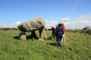
Also on the page - photos from Robin Heath's Sun-Moon Experience course held in 2011.
You may be viewing yesterday's version of this page. To see the most up to date information please register for a free account.










These are just the first 25 photos of Llech Y Dribedd. If you log in with a free user account you will be able to see our entire collection.
Do not use the above information on other web sites or publications without permission of the contributor.
Click here to see more info for this site
Nearby sites
Key: Red: member's photo, Blue: 3rd party photo, Yellow: other image, Green: no photo - please go there and take one, Grey: site destroyed
Download sites to:
KML (Google Earth)
GPX (GPS waypoints)
CSV (Garmin/Navman)
CSV (Excel)
To unlock full downloads you need to sign up as a Contributory Member. Otherwise downloads are limited to 50 sites.
Turn off the page maps and other distractions
Nearby sites listing. In the following links * = Image available
1.2km SE 145° Tumulus at Pantygroes farm* Round Barrow(s) (SN107422)
1.6km E 96° Trefaes Ganol Standing Stone Standing Stone (Menhir) (SN1167042952)
1.9km SE 140° Caer Bayvil* Hillfort (SN112417)
1.9km WSW 248° Trellyffaint Tomb* Burial Chamber or Dolmen (SN08224252)
2.0km WSW 241° Trellyffaint Stone* Standing Stone (Menhir) (SN083423)
2.9km S 173° Trefael* Rock Art (SN10294028)
3.0km ESE 122° Crugiau Cemaes* Barrow Cemetery (SN125415)
3.3km NE 44° Caerau Gaer-2* Hillfort (SN12424546)
3.5km S 172° Cwm Gloyne Hillfort (SN104397)
3.6km SSW 206° Nevern Churchyard* Standing Stone (Menhir) (SN0833340028)
3.6km SSW 209° Nevern Castle* Ancient Village or Settlement (SN082401)
3.7km SSW 209° The Pilgrim's Cross, Nevern* Ancient Cross (SN08094001)
4.0km SW 235° Wynston Stone Pair* Standing Stones (SN067410)
4.5km SSE 156° Castell Henllys* Promontory Fort / Cliff Castle (SN11723905)
4.6km SSE 153° Penpedwast Ancient Village or Settlement (SN12013903)
4.8km SSE 157° St Dogfaels Well Holy Well or Sacred Spring (SN11773874)
5.5km SW 224° Carreg Coetan Arthur* Burial Chamber or Dolmen (SN06033935)
5.7km NE 34° Cippyn Burnt Mounds Artificial Mound (SN134478)
5.7km SSE 159° Castell Mawr (Pembrokeshire)* Hillfort (SN11873776)
5.7km SSE 165° Castell Llwyd Ancient Village or Settlement (SN113376)
5.8km SSW 204° Brithdir Mawr Barrow* Modern Stone Circle etc (SN0753137967)
5.9km SW 224° Golden Lion stone* Standing Stone (Menhir) (SN058391)
6.0km SW 222° Inscribed cross stones St. Mary's church* Early Christian Sculptured Stone (SN058389)
6.0km SSW 207° Brithdir Mawr stone circle* Modern Stone Circle etc (SN071379)
6.1km SE 139° Ffynnon Fair (Pembrokeshire) Holy Well or Sacred Spring (SN13953843)
View more nearby sites and additional images


 We would like to know more about this location. Please feel free to add a brief description and any relevant information in your own language.
 Wir möchten mehr über diese Stätte erfahren. Bitte zögern Sie nicht, eine kurze Beschreibung und relevante Informationen in Deutsch hinzuzufügen.
 Nous aimerions en savoir encore un peu sur les lieux. S'il vous plaît n'hesitez pas à ajouter une courte description et tous les renseignements pertinents dans votre propre langue.
 Quisieramos informarnos un poco más de las lugares. No dude en añadir una breve descripción y otros datos relevantes en su propio idioma.