<< Our Photo Pages >> Castle an Dinas (St Columb) - Hillfort in England in Cornwall
Submitted by MikeAitch on Thursday, 27 June 2024 Page Views: 21342
Iron Age and Later PrehistorySite Name: Castle an Dinas (St Columb) Alternative Name: Castle-an-DinasCountry: England County: Cornwall Type: Hillfort
Nearest Town: St. Columb Major
Map Ref: SW94556236
Latitude: 50.425070N Longitude: 4.89381W
Condition:
| 5 | Perfect |
| 4 | Almost Perfect |
| 3 | Reasonable but with some damage |
| 2 | Ruined but still recognisable as an ancient site |
| 1 | Pretty much destroyed, possibly visible as crop marks |
| 0 | No data. |
| -1 | Completely destroyed |
| 5 | Superb |
| 4 | Good |
| 3 | Ordinary |
| 2 | Not Good |
| 1 | Awful |
| 0 | No data. |
| 5 | Can be driven to, probably with disabled access |
| 4 | Short walk on a footpath |
| 3 | Requiring a bit more of a walk |
| 2 | A long walk |
| 1 | In the middle of nowhere, a nightmare to find |
| 0 | No data. |
| 5 | co-ordinates taken by GPS or official recorded co-ordinates |
| 4 | co-ordinates scaled from a detailed map |
| 3 | co-ordinates scaled from a bad map |
| 2 | co-ordinates of the nearest village |
| 1 | co-ordinates of the nearest town |
| 0 | no data |
Internal Links:
External Links:
I have visited· I would like to visit
hallsifer would like to visit
lucasn visited on 20th Oct 2018 - their rating: Cond: 3 Amb: 4 Access: 4
ajmp3003 visited on 6th May 2016 - their rating: Cond: 3 Amb: 4 Access: 4 Impressive just by its size
DaygloViking LiveAndrew mikeaitch have visited here
Average ratings for this site from all visit loggers: Condition: 3 Ambience: 4 Access: 4
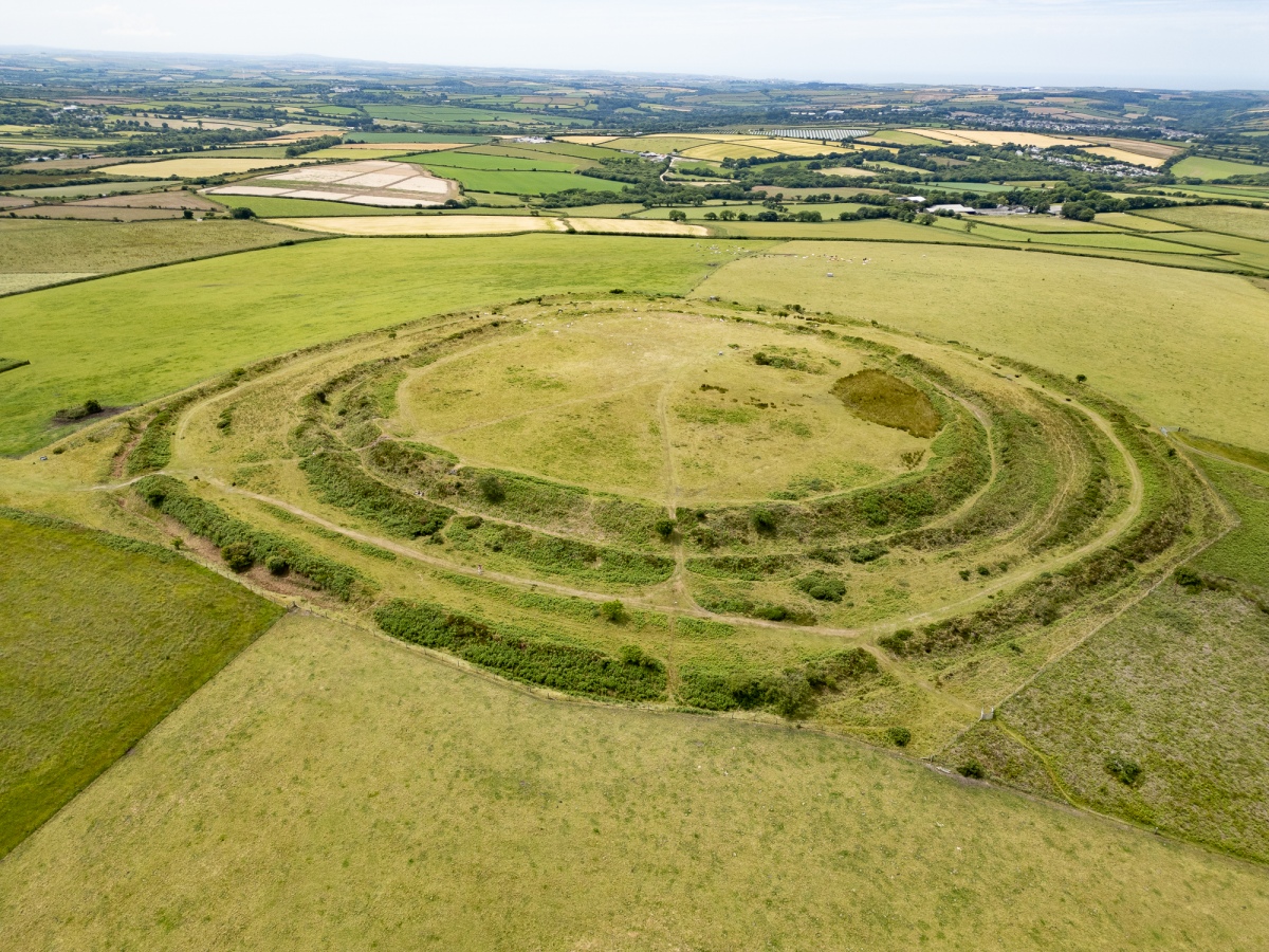
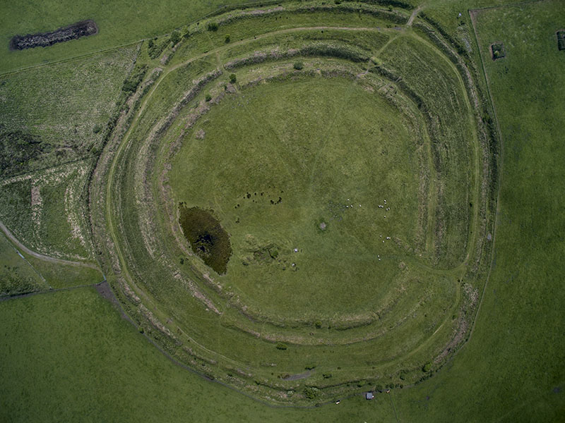
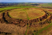
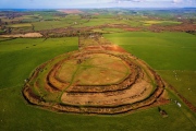
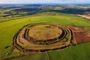
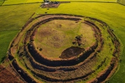
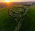
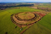
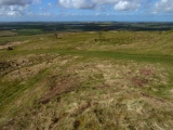
Occupying a strategic position overlooking trade routes through Cornwall, this was a natural site for an Iron Age fortress. Covering an area of 20 acres (7 ha) it is one of the largest of its kind in Cornwall. The defences comprise three massive circular stone and earth banks with outer ditches, together with traces of a slighter fourth bank. The site was occupied between 400 b.c and a.d 150. However, excavation in the 1960's revealed little evidence of prolonged occupation. Post-holes of a circular timber house were found close to the main entrance on the south west. Quantitiies of sling-stones and a few shards of pottery (dated to the 4th to 1st centuries b.c) were the main finds. Within the fort are the remains of two Bronze Age round burial mounds (2000-1500 b.c). The barrows, graves of local chieftains or nobles, would have been built around 1500 years before the hillfort, and appear to have been respected and revered by the Iron Age people and not damaged during their occupation of the hill.
Cornish legend speaks of Castle an Dinas as a seat of the Dark Ages Dukes (or petty kings) of Cornwall from the 5th to the 10th centuries a.d. Goss Moor is reputed to have been the hunting ground of King Arthur Gorlois, Duke of Cornwall, husband of Arthur's mother Igetna, is said to have been killed at the time Arthur was begotten at Tintagel. The Dukes's death orriginally is recorded as having occurred at Domellick (probably Damelioc near St. Dennis across the Moor), but by the 15th century the legend had been transferred to Castle an Dinas.
In 1646 the Royalist forces, persued by Fairfax, camped for two nights here before retreating westwards to surrender at Tresillian Bridge on Thursday, 12th March.
Open cast tin mining on the north side of the hill was recorded by William Carnsew about 1580, and continued sporadically until 1876. Wolfram (tungsten) mining began in 1915 on the site of the 18th and 19th century workings and continued intermittently until after the 1939-1945 war. An aerial ropeway carrying skips of ore from the mine to the processing works on the south side of the hill (by the present car park) traversed the site until 1950.
To provide protection for archealogical remains and natural habitats, as well as continuing to make the fort accessible to the public, Castle an Dinas was acquired by the Cornwall Heritage Trust from the Duchy of Cornwall in 1986, when the tenant farmer retired.
The Cornwall Heritage Trust was formed in 1985 as a result of the deep concern of members of the Cornish Assembly who feared for the future of Cornwall's unique inheritance.
(Text reproduced from the information board at Castle at Dinas)
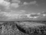
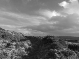
Castle-an-Dinas is one of the largest and most impressive hillforts in Cornwall, sited in an imposing position on the summit of Castle Downs with extensive and panoramic views across central Cornwall to both north and south coasts. It features in Cornish legend as one of the seats of the Duke of Cornwall and folklore has it that Cador, Duke of Cornwall, and Ygraine, King Arthur’s mother were killed here. That the site has attracted such mythic associations may be a reflection of its continued significance from its prehistoric beginnings into the Post-Roman and Early mediæval periods. The very limited excavations that took place in the 1960s were unable to provide evidence to confirm this, however.
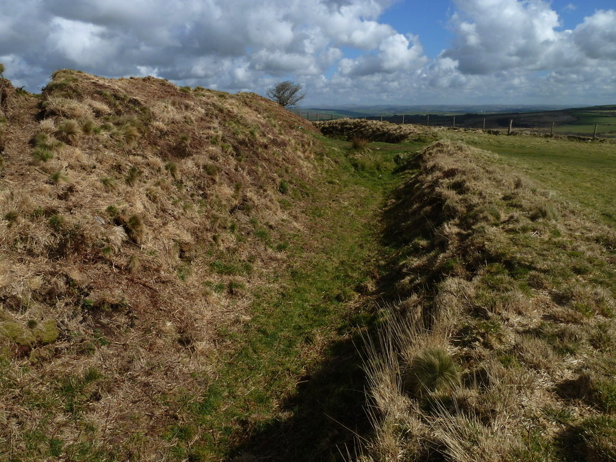
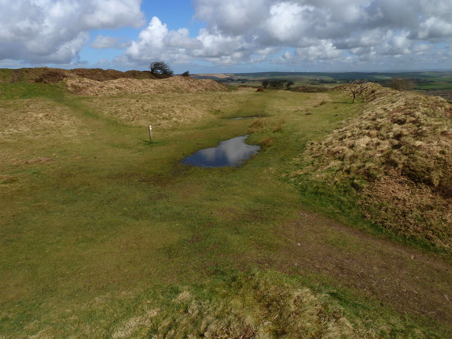
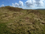
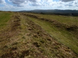
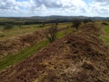
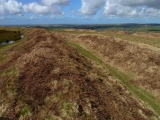
The hillfort is surrounded by three ramparts and ditches, one of which is of a noticeably slighter construction and indicates either an earlier phase of occupation, or the remodelling of the ramparts. There are two Bronze Age barrows, now in a rather poor condition, in the interior and these may represent the initial use of the site around which the later enclosures were built. Alternatively, the several gaps within the slighter bank have led to speculation that they are multiple entrances and this is in fact the remains of a Neolithic causewayed enclosure which would pre-date the barrows and indicates an even earlier origin for the site.
The small amount of material excavated from the interior suggested that the main period of use fell within the Iron Age when the ramparts would have stood at their highest, probably surmounted by a wooden palisade. The main entrance lies on the south-west side, and the gateway had a cobbled surface. There is documentary evidence for a causeway leading away to the west towards Trekenning, but nothing visible remains today. The problem of providing a water supply for hilltop sites such as this is often remarked upon; at Castle-an-Dinas there is a spring in the northern part of the interior against the rampart walls and cobbling around this area and a gully leading towards a hollow, possibly for water collection, may be associated with the main occupation of the site. Although the excavations recovered little evidence for activity in the interior, it is likely that there would have been timber roundhouses and other structures and work areas. Hillforts are considered to have provided a focus for the community, symbolising of the wealth and power of the tribe, and providing a central place for social ceremonies, trade and ritual.
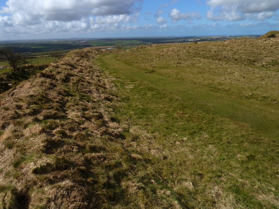
A 20th century wolfram mine has left its mark on Castle-an-Dinas with level platforms cut into the prehistoric ramparts to carry an aerial ropeway known as a 'blondin' which would have transported skips of ore from the mine on the northern side of the hill to the processing works on the south. Despiite continuous activity on this hilltop for the past two thousand years, this is still one of the most impressive and popular archaeological sites in the county.
The monument is managed by Cornwall Heritage Trust and is accessible by public footpath across open ground from both the north and south.
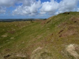
On the 2nd Sept 2009, Tony Blackman Chairman of the Cornwall Heritage Trust (white beard & sunglasses in the fourth photo below) gave an excellent 2 hr guided tour of Castle an Dinas
(Sources: Thurley, S and Preston-Jones, A, 1990. Castle-an-Dinas - its Preservation Above and Below Ground. English Heritage. Wailes, B, 1963. Excavations at Castle-an-Dinas: Interim Report in Cornish Archaeology 2, pp.51-54.)
You may be viewing yesterday's version of this page. To see the most up to date information please register for a free account.




These are just the first 25 photos of Castle an Dinas (St Columb). If you log in with a free user account you will be able to see our entire collection.
Do not use the above information on other web sites or publications without permission of the contributor.
Click here to see more info for this site
Nearby sites
Key: Red: member's photo, Blue: 3rd party photo, Yellow: other image, Green: no photo - please go there and take one, Grey: site destroyed
Download sites to:
KML (Google Earth)
GPX (GPS waypoints)
CSV (Garmin/Navman)
CSV (Excel)
To unlock full downloads you need to sign up as a Contributory Member. Otherwise downloads are limited to 50 sites.
Turn off the page maps and other distractions
Nearby sites listing. In the following links * = Image available
1.7km S 186° Deep Tye Farm Henge (SW943607)
2.0km NNE 23° St. Wenna's well* Holy Well or Sacred Spring (SW954642)
2.2km WSW 257° Devil's Quoit (St Columb Major)* Burial Chamber or Dolmen (SW9234161952)
2.6km E 84° Belowda Beacon tumuli* Barrow Cemetery (SW97136254)
2.7km SW 227° St Columba Holy Well* Holy Well or Sacred Spring (SW9248760574)
3.4km ENE 66° Demelza Castle* Ancient Village or Settlement (SW977636)
4.0km E 97° St Gundred's Well* Holy Well or Sacred Spring (SW985617)
4.1km S 169° St Dennis Churchyard Cross* Ancient Cross (SW95155835)
4.1km S 170° St Dennis Hill Fort* Hillfort (SW951583)
4.4km SW 220° Indian Queens inscribed stone* Early Christian Sculptured Stone (SW91625912)
4.4km NNE 14° St Mary's Well (Rosenannon)* Holy Well or Sacred Spring (SW958666)
4.7km ESE 116° Menevegar Menhir* Standing Stone (Menhir) (SW98676011)
5.0km ESE 119° Roche Cross* Ancient Cross (SW98795978)
5.3km NNW 348° Nine Maidens Stone Row* Stone Row / Alignment (SW93636754)
5.3km ESE 119° Roche Rock* Rock Outcrop (SW99105962)
5.8km N 3° Rosenannon Downs W* Barrow Cemetery (SW95126811)
5.8km N 0° Scotland Corner Tumuli* Barrow Cemetery (SW94796817)
5.8km N 8° Rosenannon Downs* Barrow Cemetery (SW95556810)
5.9km N 352° The Fiddler* Standing Stone (Menhir) (SW9393368211)
6.0km NNW 342° Trelow Downs Stone Row / Alignment (SW92906817)
6.1km N 9° Pawton Gate* Round Barrow(s) (SW95716837)
6.3km NNE 18° St Breock Beacon Kistvaen* Burial Chamber or Dolmen (SW9677968243)
6.3km NNE 18° Men Gurta* Standing Stone (Menhir) (SW96786831)
6.5km NNE 23° St Breock Downs Menhir* Standing Stone (Menhir) (SW9731468264)
6.5km N 10° Pawton Springs* Barrow Cemetery (SW9593468737)
View more nearby sites and additional images


 We would like to know more about this location. Please feel free to add a brief description and any relevant information in your own language.
 Wir möchten mehr über diese Stätte erfahren. Bitte zögern Sie nicht, eine kurze Beschreibung und relevante Informationen in Deutsch hinzuzufügen.
 Nous aimerions en savoir encore un peu sur les lieux. S'il vous plaît n'hesitez pas à ajouter une courte description et tous les renseignements pertinents dans votre propre langue.
 Quisieramos informarnos un poco más de las lugares. No dude en añadir una breve descripción y otros datos relevantes en su propio idioma.