<< Our Photo Pages >> Goodaver - Stone Circle in England in Cornwall
Submitted by TheCaptain on Tuesday, 17 September 2002 Page Views: 17943
Neolithic and Bronze AgeSite Name: GoodaverCountry: England County: Cornwall Type: Stone Circle
Nearest Town: Bodmin Nearest Village: Bolventor
Map Ref: SX20877515 Landranger Map Number: 201
Latitude: 50.548602N Longitude: 4.529804W
Condition:
| 5 | Perfect |
| 4 | Almost Perfect |
| 3 | Reasonable but with some damage |
| 2 | Ruined but still recognisable as an ancient site |
| 1 | Pretty much destroyed, possibly visible as crop marks |
| 0 | No data. |
| -1 | Completely destroyed |
| 5 | Superb |
| 4 | Good |
| 3 | Ordinary |
| 2 | Not Good |
| 1 | Awful |
| 0 | No data. |
| 5 | Can be driven to, probably with disabled access |
| 4 | Short walk on a footpath |
| 3 | Requiring a bit more of a walk |
| 2 | A long walk |
| 1 | In the middle of nowhere, a nightmare to find |
| 0 | No data. |
| 5 | co-ordinates taken by GPS or official recorded co-ordinates |
| 4 | co-ordinates scaled from a detailed map |
| 3 | co-ordinates scaled from a bad map |
| 2 | co-ordinates of the nearest village |
| 1 | co-ordinates of the nearest town |
| 0 | no data |
Internal Links:
External Links:
I have visited· I would like to visit
Dormouse would like to visit
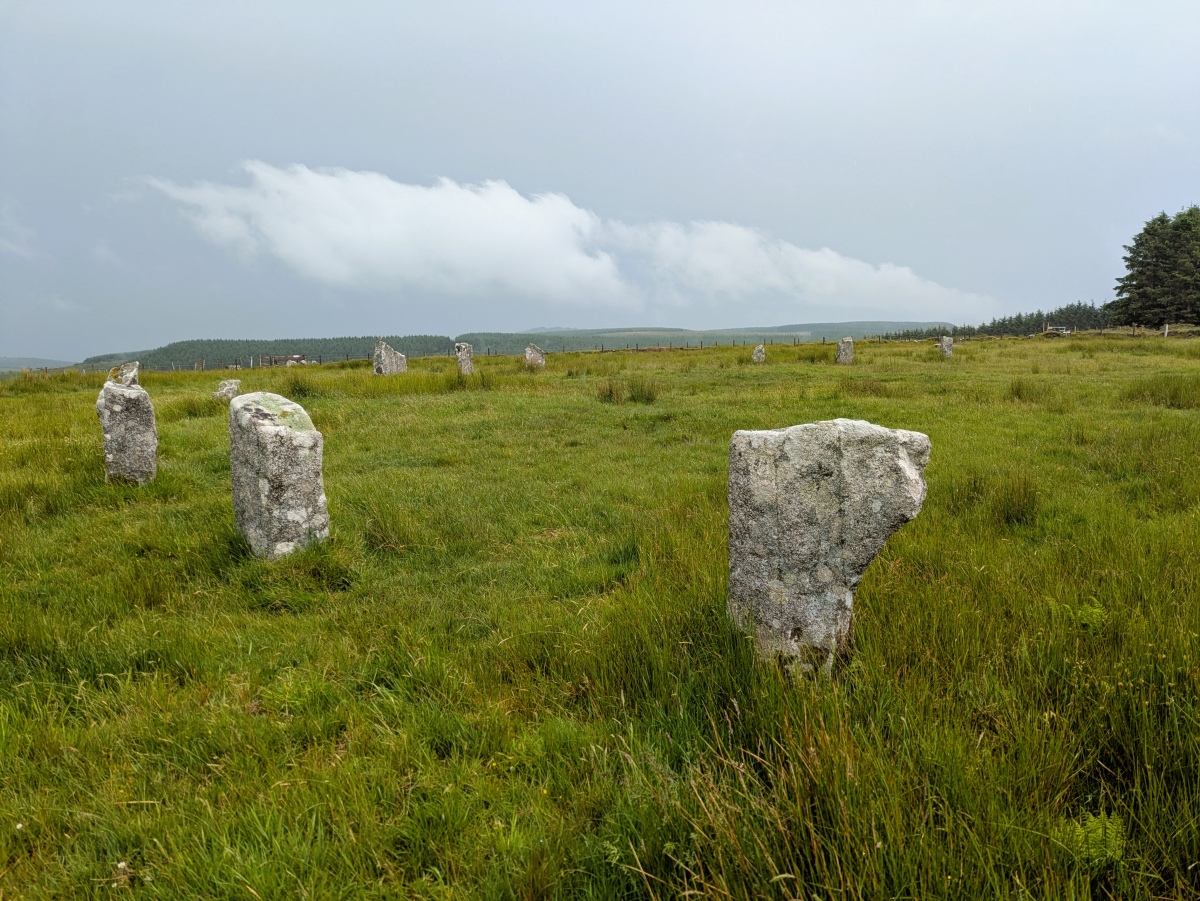
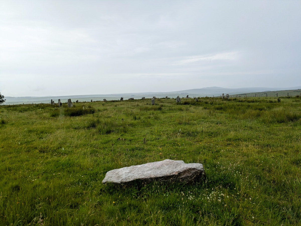
TheCaptain visited on 13th Jun 2025 - their rating: Cond: 5 Amb: 5 Access: 3 On the way down to Penzance, I try again to visit Goodaver stone circle, this time walking up the new path from Trezibbet in the rain. I certainly wasn't going to let the wind driven rain and mist stop me! There is room to park a car carefully just opposite the new bridge by the entrance to Dozmary farm. The new bridge and path up made this visit possible, so thank you to all responsible for that. The situation of the circle is stunning, with all the conifer tree plantations removed. I never realised its prominence on its hilltop position with views all around. I didn't spend too long up there, not only all the rain, but the ground was marshy and sodden. Decided its a place to go back to on a nice day, and after all, its now easy!
Catrinm visited on 18th Jan 2025 - their rating: Cond: 3 Amb: 4 Access: 3 Now accessible to the public ( with permission) and signposted , with the closest forestry gone the fantastic position of this circle can be appreciated.
TheCaptain couldn't find on 9th Jun 2023 Stop at Webbs Down near Bolventor to try to walk to the Goodaver stone circle through the forests from the north. Its very hot, and about halfway there the forest tracks are all shut off, with barbed wire and CCTV. I look at going over the rough ground to the west of the forest, but it wont be easy. I then check my route map, and realise that the 5 km walk is each way, not a full round trip. Decide this is no good, and head back to the car, but I do get to visit the stone row. Time to go to Blisland for an afternoon pint.
TheCaptain couldn't find on 11th Jun 2022 On my way down to Wadebridge today, I didn't have time for the long walk through the forest, but thought I'd try the direct ways from the Bolventor - St Cleer road down the Fowey valley. Both these ways I have seen described. Plan A. up the curvy track at Trezibbet, which is clearly seen from the raad in the valley. I asked somebody tending lambs in the barns at the bottom, and got a friendly but definite no. No way through. Private land. Plan A.2. Up either track from Goodaver, one of which shows to be a path on my OutdoorActive routeplanner. All gates and ways across the river locked. Asked a man tending a tractor. A less friendly, No. Private. So, maybe another time with half a day spare to try the forest way from the north.
markj99 visited on 20th Mar 2013 - their rating: Cond: 3 Amb: 4 Access: 1 I honestly can't remember the details of approaching Goodaver Stone Circle but I retain an impression of boggy marshland and surprise to find a stone circle in such splendid isolation.
BolshieBoris visited on 1st Aug 1989 - their rating: Cond: 4 Amb: 4 Access: 2
LordMureth visited - their rating: Cond: 4 Amb: 5 Access: 2
cornishstargazer celticmaiden55 cazzyjane have visited here
Average ratings for this site from all visit loggers: Condition: 3.8 Ambience: 4.4 Access: 2.2
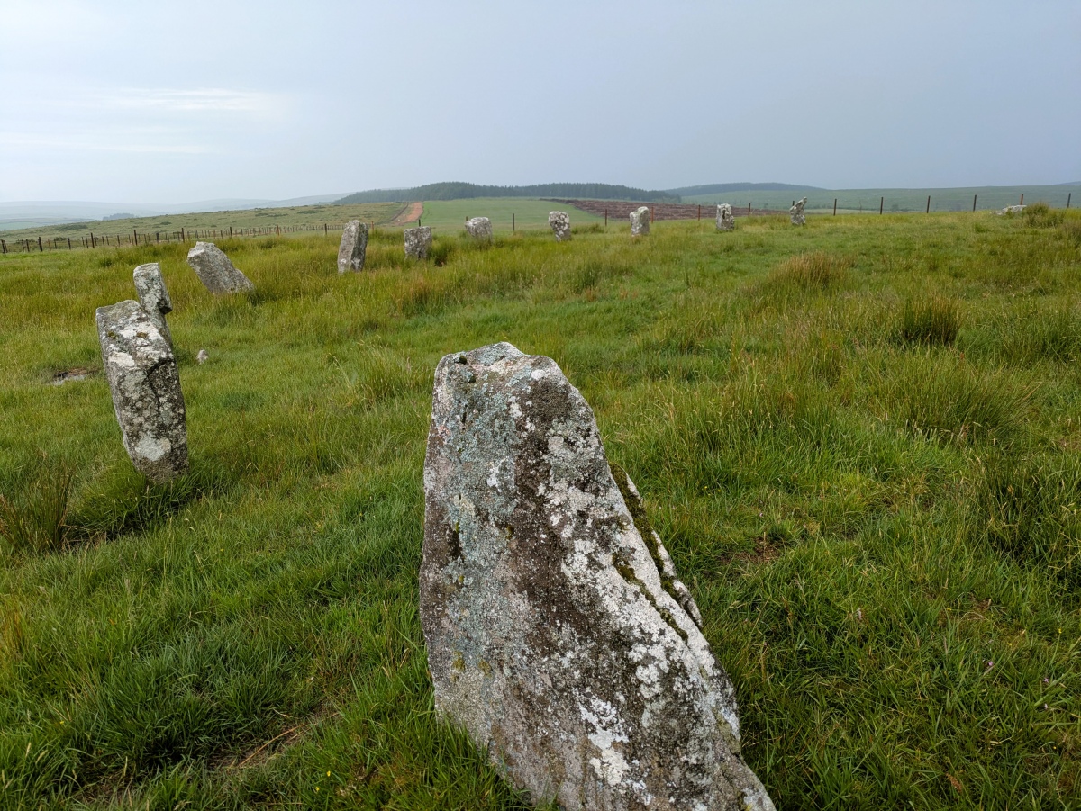
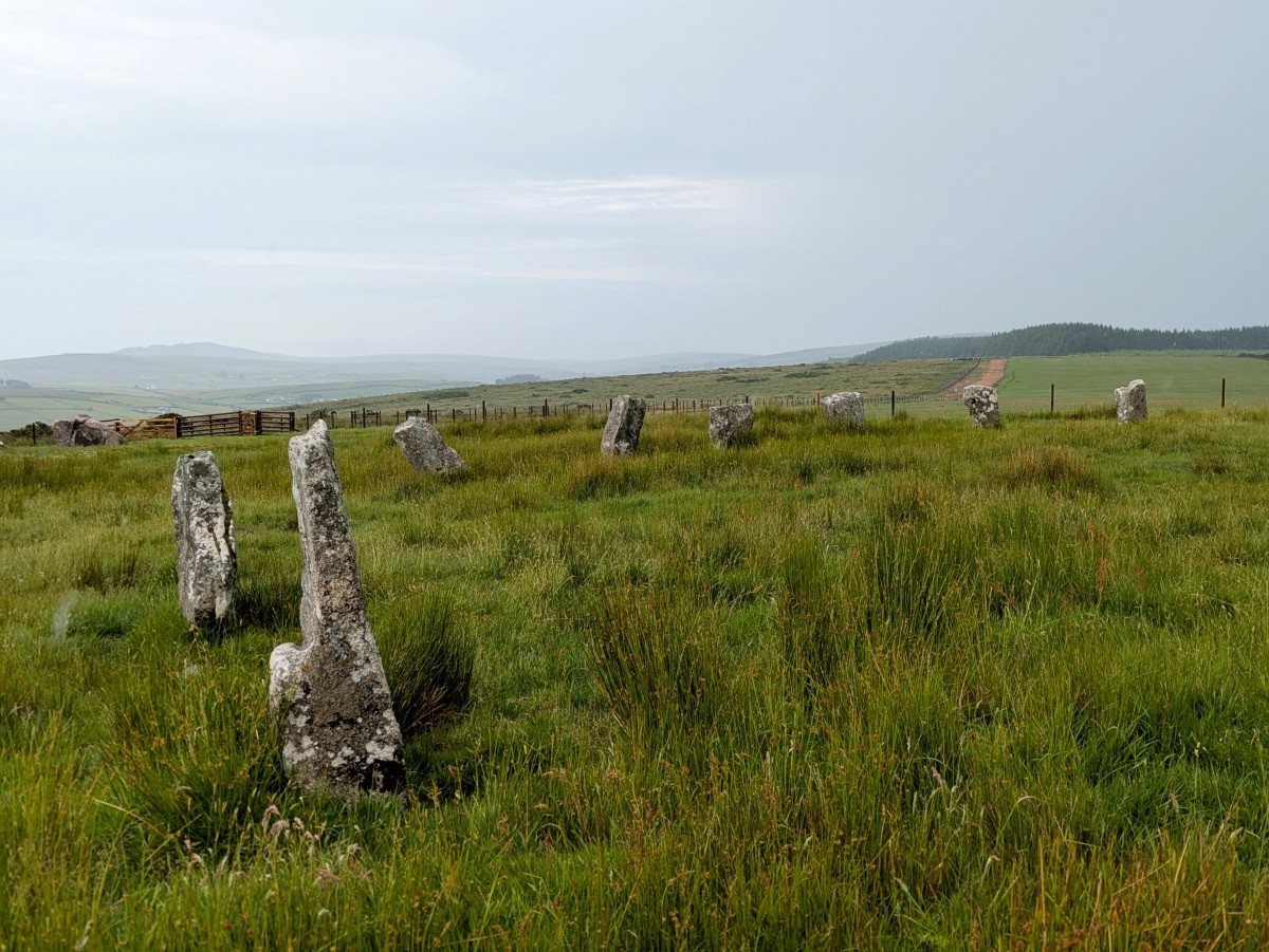
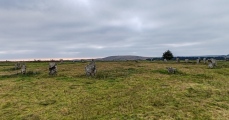
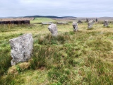
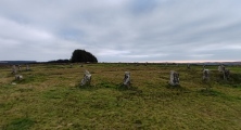
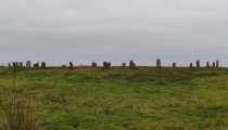
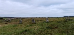
Nevertheless, the stones appear to have been accurately located with respect to their original positions. Twenty-five stones remain out of a probable original twenty-eight, and their 3.7m (12-foot) spacing is in keeping with the Bodmin Moor group of big rings.
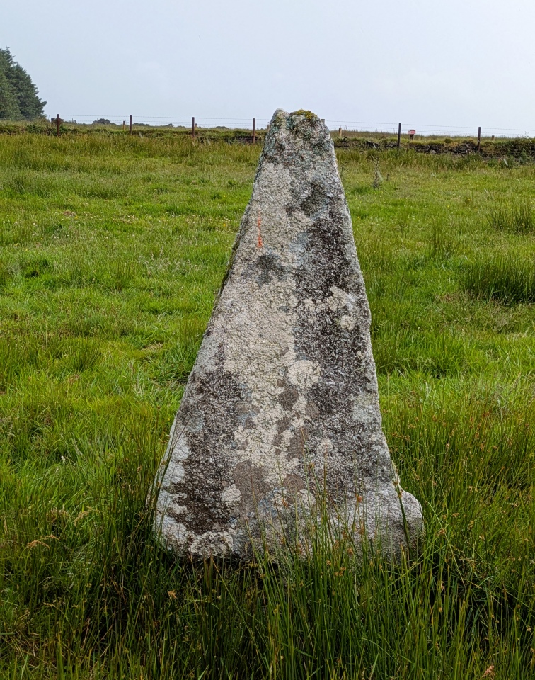
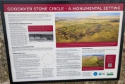
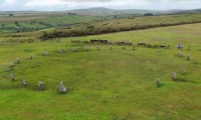
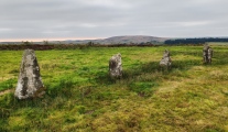
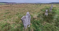
From Historic England "Goodaver Stone Circle, situated on a broad ridge on the south-west edge of the Goodaver Downs, bordering the east side of the upper River Fowey valley on southern Bodmin Moor. The Goodaver Stone Circle is visible as a near-circular arrangement of 23 end-set granite slabs. The plan of the stone circle is slightly flattened at the east from a true circular course and measures 31.5m east-west by 32.7m north-south. Its constituent slabs range from 0.8m to 1.3m high and are graded, with the tallest in the south-east sector opposite the smallest to the west and north-west. The slabs are fairly regularly spaced about the circle, generally 2m-3.5m apart, with larger gaps in the north, ENE, south-east and SSW sectors indicating the sites of at least seven missing slabs."
historicengland.org.uk/listing/the-list/list-entry/1007771
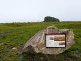
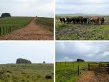
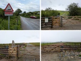
Access: Thankfully from 2025 access to the stone circle has been made simple and easy compared to the long and difficult access of the past. There is room to park a car carefully by the entrance to Dozmary farm. Just opposite is a new bridge across River Fowey leading to a new trackway made up the hill at Trezibbett. At the top of the hill are some new gates opening to a newly cleared bark covered trackway leading south to the circle. Just under 2km each way.
You may be viewing yesterday's version of this page. To see the most up to date information please register for a free account.






These are just the first 25 photos of Goodaver. If you log in with a free user account you will be able to see our entire collection.
Do not use the above information on other web sites or publications without permission of the contributor.
Click here to see more info for this site
Nearby sites
Key: Red: member's photo, Blue: 3rd party photo, Yellow: other image, Green: no photo - please go there and take one, Grey: site destroyed
Download sites to:
KML (Google Earth)
GPX (GPS waypoints)
CSV (Garmin/Navman)
CSV (Excel)
To unlock full downloads you need to sign up as a Contributory Member. Otherwise downloads are limited to 50 sites.
Turn off the page maps and other distractions
Nearby sites listing. In the following links * = Image available
78m SE 138° Goodaver Round Cairn* Cairn (SX20927509)
295m WSW 244° East Dozmary Hut Circles and Field System Ancient Village or Settlement (SX20607503)
585m NW 305° Smiths Moor Settlement Ancient Village or Settlement (SX204755)
585m SW 231° Goodaver Settlement and Cairn Ancient Village or Settlement (SX204748)
679m NW 310° Smiths Moor Cairn Cairn (SX20367560)
700m NW 310° Smiths Moor Field System and Cairns Cairn (SX20357562)
851m NW 307° Smiths Moor Hut Circles Ancient Village or Settlement (SX20217569)
1.1km NW 308° Smiths Moor Field System Misc. Earthwork (SX20037585)
1.5km WSW 243° Dozmary Pool* Holy Well or Sacred Spring (SX195745)
1.5km WSW 243° Dozmary Round Barrow Round Barrow(s) (SX19467450)
1.7km SSW 203° Harrowbridge Hill Ancient Village or Settlement (SX20187364)
1.9km NE 49° Rushyford Cairns* Barrow Cemetery (SX22357633)
2.0km WSW 251° Pinnockshill Tumulus Round Barrow(s) (SX18957456)
2.2km NNW 342° Carneglos Barrow* Ring Cairn (SX20287725)
2.2km NNW 333° Carneglos settlement* Ancient Village or Settlement (SX19957715)
2.4km WSW 252° Pinnockshill Hut Circle Ancient Village or Settlement (SX18577450)
2.4km NE 46° Colquite Menhir* Standing Stone (Menhir) (SX22657675)
2.4km NNW 334° Carneglos row* Stone Row / Alignment (SX19887737)
2.4km SSW 201° Browngelly Downs* Ancient Village or Settlement (SX199729)
2.6km NE 36° Greymare Rock* Natural Stone / Erratic / Other Natural Feature (SX225772)
2.7km NNE 28° East Moor menhir* Standing Stone (Menhir) (SX22227747)
2.8km NNE 28° East Moor Stone D* Standing Stone (Menhir) (SX2230077606)
2.9km NNE 29° East Moor stone B* Standing Stone (Menhir) (SX22357760)
2.9km NNE 31° East Moor stone C* Standing Stone (Menhir) (SX22447757)
2.9km NE 49° Carey Tor Settlement* Ancient Village or Settlement (SX23117698)
View more nearby sites and additional images


 We would like to know more about this location. Please feel free to add a brief description and any relevant information in your own language.
 Wir möchten mehr über diese Stätte erfahren. Bitte zögern Sie nicht, eine kurze Beschreibung und relevante Informationen in Deutsch hinzuzufügen.
 Nous aimerions en savoir encore un peu sur les lieux. S'il vous plaît n'hesitez pas à ajouter une courte description et tous les renseignements pertinents dans votre propre langue.
 Quisieramos informarnos un poco más de las lugares. No dude en añadir una breve descripción y otros datos relevantes en su propio idioma.