<< Our Photo Pages >> Lillehøj og den store sagnsten - Round Barrow(s) in Denmark in Møn + Lolland-Falster
Submitted by Boeddel on Monday, 24 June 2024 Page Views: 220
Neolithic and Bronze AgeSite Name: Lillehøj og den store sagnstenCountry: Denmark
NOTE: This site is 0.424 km away from the location you searched for.
County: Møn + Lolland-Falster Type: Round Barrow(s)
Nearest Town: Stege
Latitude: 54.985269N Longitude: 12.355732E
Condition:
| 5 | Perfect |
| 4 | Almost Perfect |
| 3 | Reasonable but with some damage |
| 2 | Ruined but still recognisable as an ancient site |
| 1 | Pretty much destroyed, possibly visible as crop marks |
| 0 | No data. |
| -1 | Completely destroyed |
| 5 | Superb |
| 4 | Good |
| 3 | Ordinary |
| 2 | Not Good |
| 1 | Awful |
| 0 | No data. |
| 5 | Can be driven to, probably with disabled access |
| 4 | Short walk on a footpath |
| 3 | Requiring a bit more of a walk |
| 2 | A long walk |
| 1 | In the middle of nowhere, a nightmare to find |
| 0 | No data. |
| 5 | co-ordinates taken by GPS or official recorded co-ordinates |
| 4 | co-ordinates scaled from a detailed map |
| 3 | co-ordinates scaled from a bad map |
| 2 | co-ordinates of the nearest village |
| 1 | co-ordinates of the nearest town |
| 0 | no data |
Internal Links:
External Links:
I have visited· I would like to visit
Boeddel visited on 22nd Jun 2024 - their rating: Cond: 3 Amb: 4 Access: 4

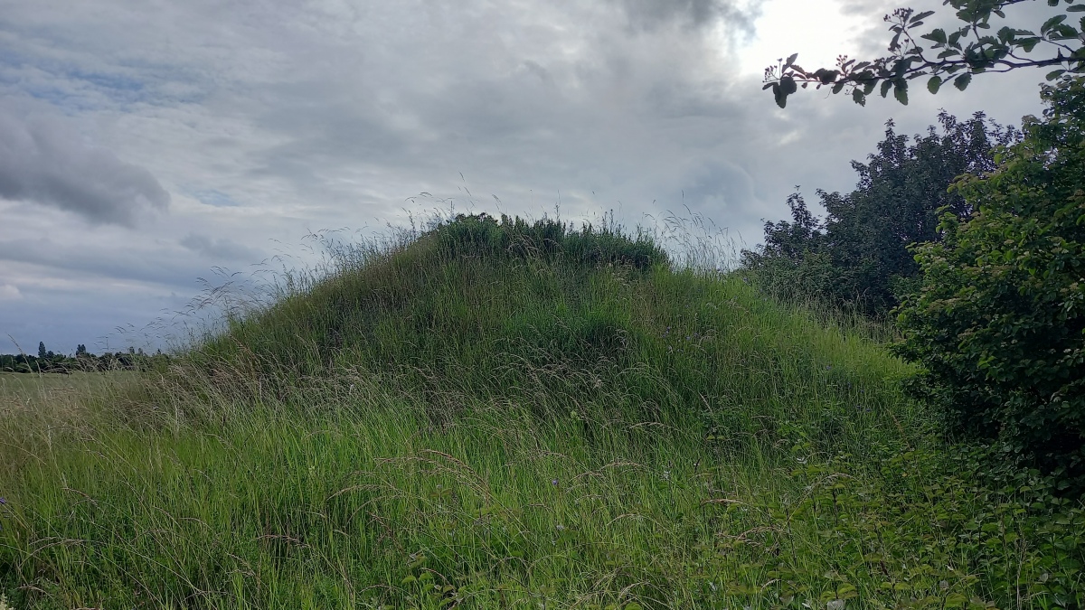
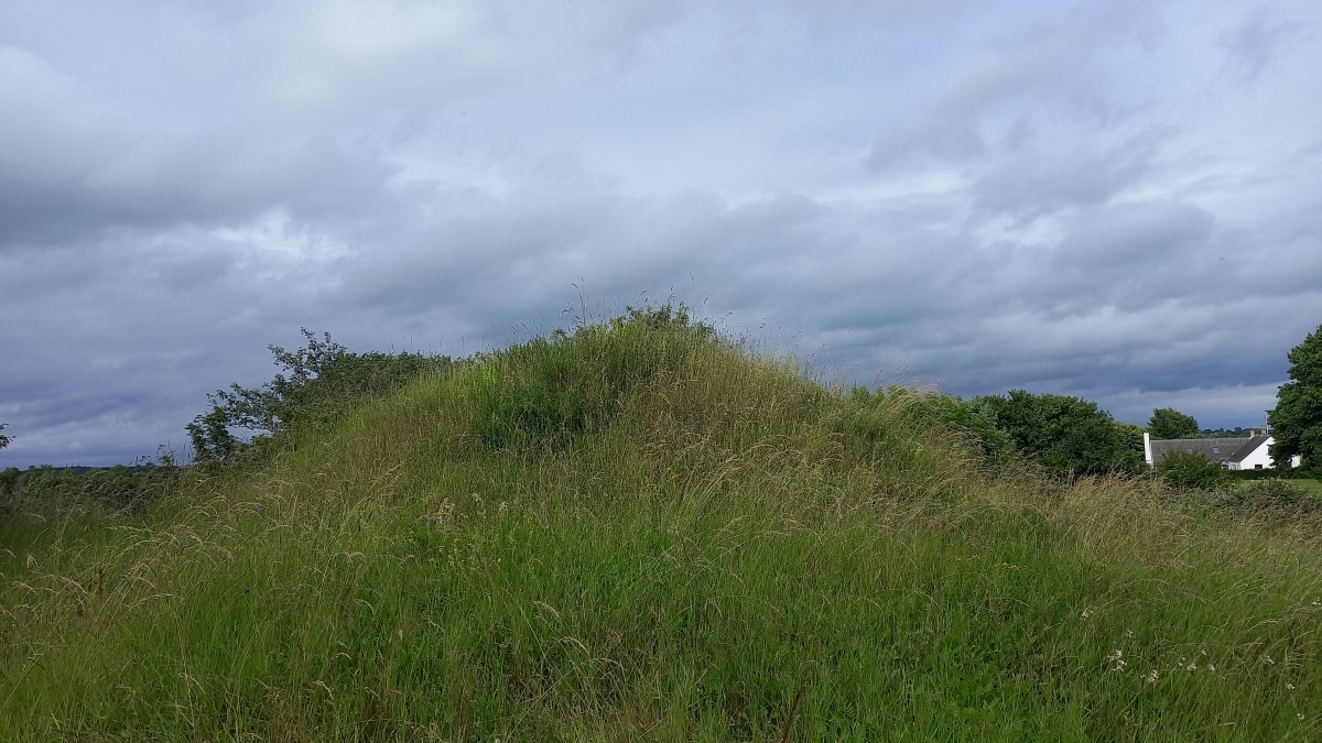
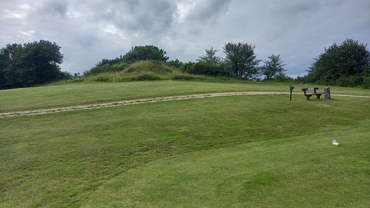
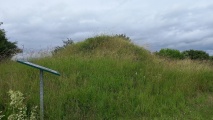
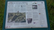
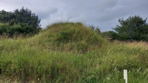
Lillehøj is the central portion of a partially destroyed, now protected, burial mound from the Bronze Age (1700-500 BCE). Although there were originally three mounds here in the east of Stege Nor, the other two were completely levelled prior to 1860, when the National Museum first registered the site. It was reported in 1860 that a stone coffin was visible atop the hill.
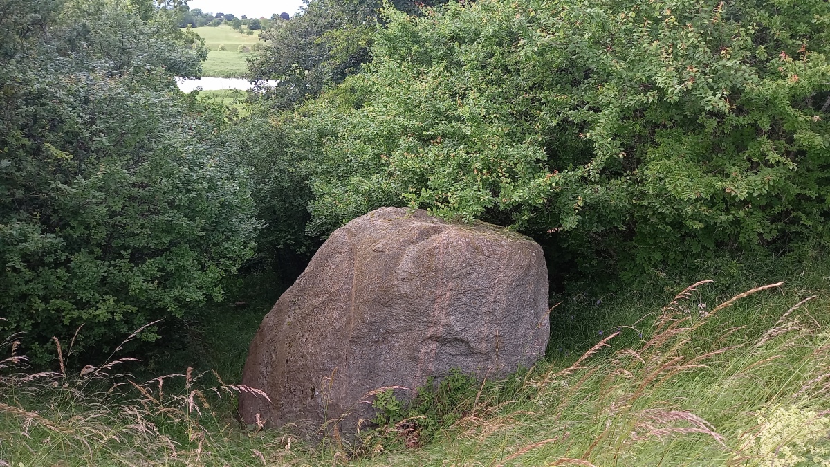
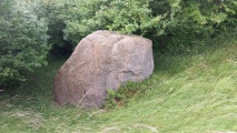
On the slope to the west of the hill, you can also
see a granite boulder with a height of 3.5 m, a circumference of 12 m and weighing around 70 tonnes, which was “shipped” by glaciers from Sweden to Møn during the last ice age.
The area was also the site of a rare find of an imported product from the early Iron Age (around 200 BCE). The “Keldby Bucket’, a bronze vessel from Greece, originally functioned as a wine holder and was discovered in a field to the northwest of here in 1826. The “Keldby Bucket’ is depicted on the 500 DKK banknote.
More information in Danish:
Sted- og lokalitetsnr. 050506-14 The burial mound
Sted- og lokalitetsnr. 050506-48 The stone
“Fortidsmindedata Copyright Kulturarvstyrelsen”
You may be viewing yesterday's version of this page. To see the most up to date information please register for a free account.
Do not use the above information on other web sites or publications without permission of the contributor.
Click here to see more info for this site
Nearby sites
Click here to view sites on an interactive map of the areaKey: Red: member's photo, Blue: 3rd party photo, Yellow: other image, Green: no photo - please go there and take one, Grey: site destroyed
Download sites to:
KML (Google Earth)
GPX (GPS waypoints)
CSV (Garmin/Navman)
CSV (Excel)
To unlock full downloads you need to sign up as a Contributory Member. Otherwise downloads are limited to 50 sites.
Turn off the page maps and other distractions
Nearby sites listing. In the following links * = Image available
2.3km WNW 294° Møns Sneglehøj* Round Barrow(s)
3.1km ENE 69° Elmelunde Kirke Gravhøj* Round Barrow(s)
4.0km E 93° Råbymagle Dyssen* Burial Chamber or Dolmen
4.1km E 100° Råbymagle Bushøj* Round Barrow(s)
4.3km WNW 283° Pilevej Stege Skåltegn* Rock Art
4.6km W 268° Stege Kirke Skåltegn* Rock Art
5.2km NE 34° Davrehøj Rundhøj* Round Barrow(s)
6.7km WSW 242° Frenderupgård Fuglehøj Langdysse* Long Barrow
6.9km ESE 102° Busemarke Langdysse* Long Barrow
7.1km WSW 253° Neble Jordehøj Jættestue* Passage Grave
7.2km WSW 239° Baashøj Rundhøj* Round Barrow(s)
7.4km WSW 242° Toftehøj Rundhøj* Round Barrow(s)
7.7km SW 229° Damsholte Jættestue* Passage Grave
7.8km ENE 58° Ålebæk Langdysse* Long Barrow
8.1km ENE 71° Ålebækgård Lisbjerg Runddysse* Burial Chamber or Dolmen
8.2km E 91° Magleby kirke Møn Skåltegn 2* Rock Art
8.2km E 91° Magleby kirke Møn Skåltegn 1* Rock Art
8.4km ENE 68° Stubberup Have Afd. V.7 Langdysse* Long Barrow
8.4km WSW 241° Æbelnæs Jættestue* Passage Grave
8.4km SW 236° Knubbelhøj Rundhøj* Round Barrow(s)
8.5km ENE 66° Stubberup Have Afd. V.1e Jættestue* Passage Grave
8.8km SW 234° Sdr. Frenderup Rundhøje* Round Barrow(s)
9.0km ENE 74° Lilleskov Langdysse* Long Barrow
9.1km ENE 72° Lille Skov Afd. 1 Langdysse* Long Barrow
9.3km SW 234° Sønder Frenderup Rundhøj 1* Round Barrow(s)
View more nearby sites and additional images


 We would like to know more about this location. Please feel free to add a brief description and any relevant information in your own language.
 Wir möchten mehr über diese Stätte erfahren. Bitte zögern Sie nicht, eine kurze Beschreibung und relevante Informationen in Deutsch hinzuzufügen.
 Nous aimerions en savoir encore un peu sur les lieux. S'il vous plaît n'hesitez pas à ajouter une courte description et tous les renseignements pertinents dans votre propre langue.
 Quisieramos informarnos un poco más de las lugares. No dude en añadir una breve descripción y otros datos relevantes en su propio idioma.