<< Our Photo Pages >> Minton Turtle Effigy - Rock Art in Canada
Submitted by TheDruid-3X3 on Saturday, 28 June 2025 Page Views: 3
Rock ArtSite Name: Minton Turtle Effigy Alternative Name: Turtle EffigyCountry: Canada
NOTE: This site is 129.083 km away from the location you searched for.
Type: Rock Art
Nearest Town: Minton, Saskatchewan Nearest Village: Muddy Lake Livestock Ranch
Latitude: 49.184790N Longitude: 104.74718W
Condition:
| 5 | Perfect |
| 4 | Almost Perfect |
| 3 | Reasonable but with some damage |
| 2 | Ruined but still recognisable as an ancient site |
| 1 | Pretty much destroyed, possibly visible as crop marks |
| 0 | No data. |
| -1 | Completely destroyed |
| 5 | Superb |
| 4 | Good |
| 3 | Ordinary |
| 2 | Not Good |
| 1 | Awful |
| 0 | No data. |
| 5 | Can be driven to, probably with disabled access |
| 4 | Short walk on a footpath |
| 3 | Requiring a bit more of a walk |
| 2 | A long walk |
| 1 | In the middle of nowhere, a nightmare to find |
| 0 | No data. |
| 5 | co-ordinates taken by GPS or official recorded co-ordinates |
| 4 | co-ordinates scaled from a detailed map |
| 3 | co-ordinates scaled from a bad map |
| 2 | co-ordinates of the nearest village |
| 1 | co-ordinates of the nearest town |
| 0 | no data |
Internal Links:
External Links:
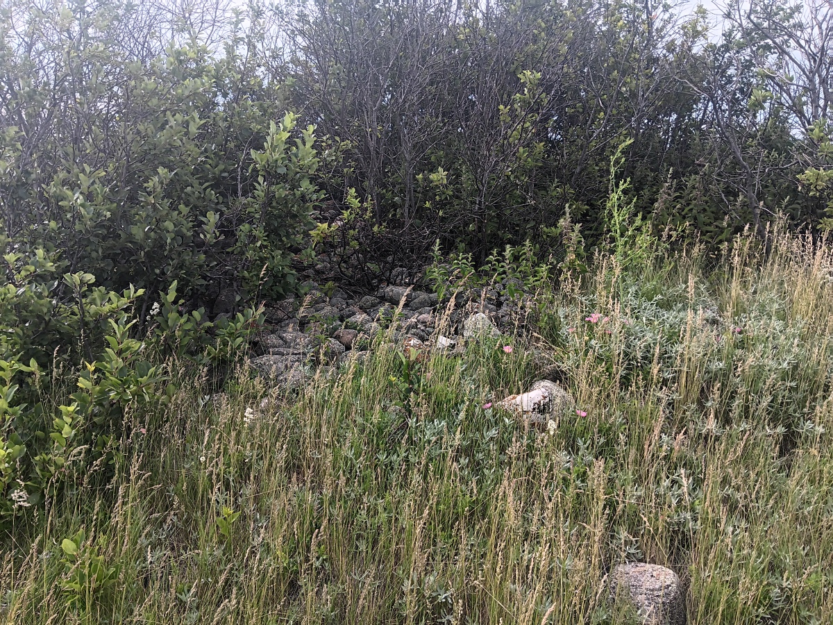
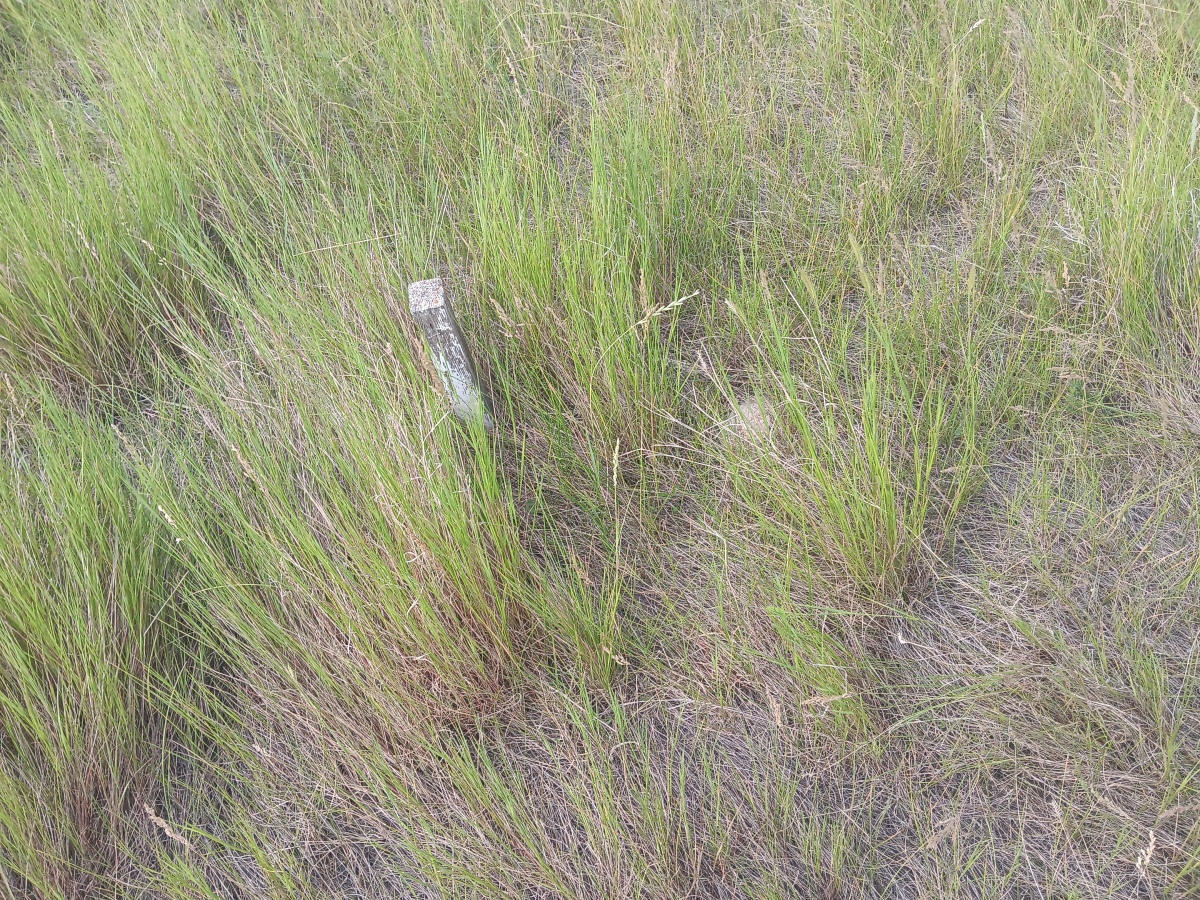
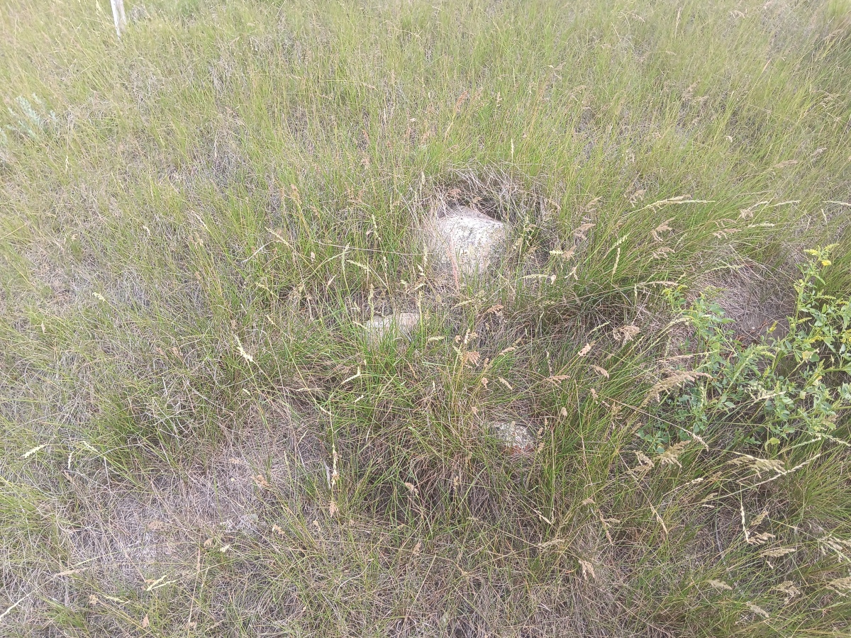
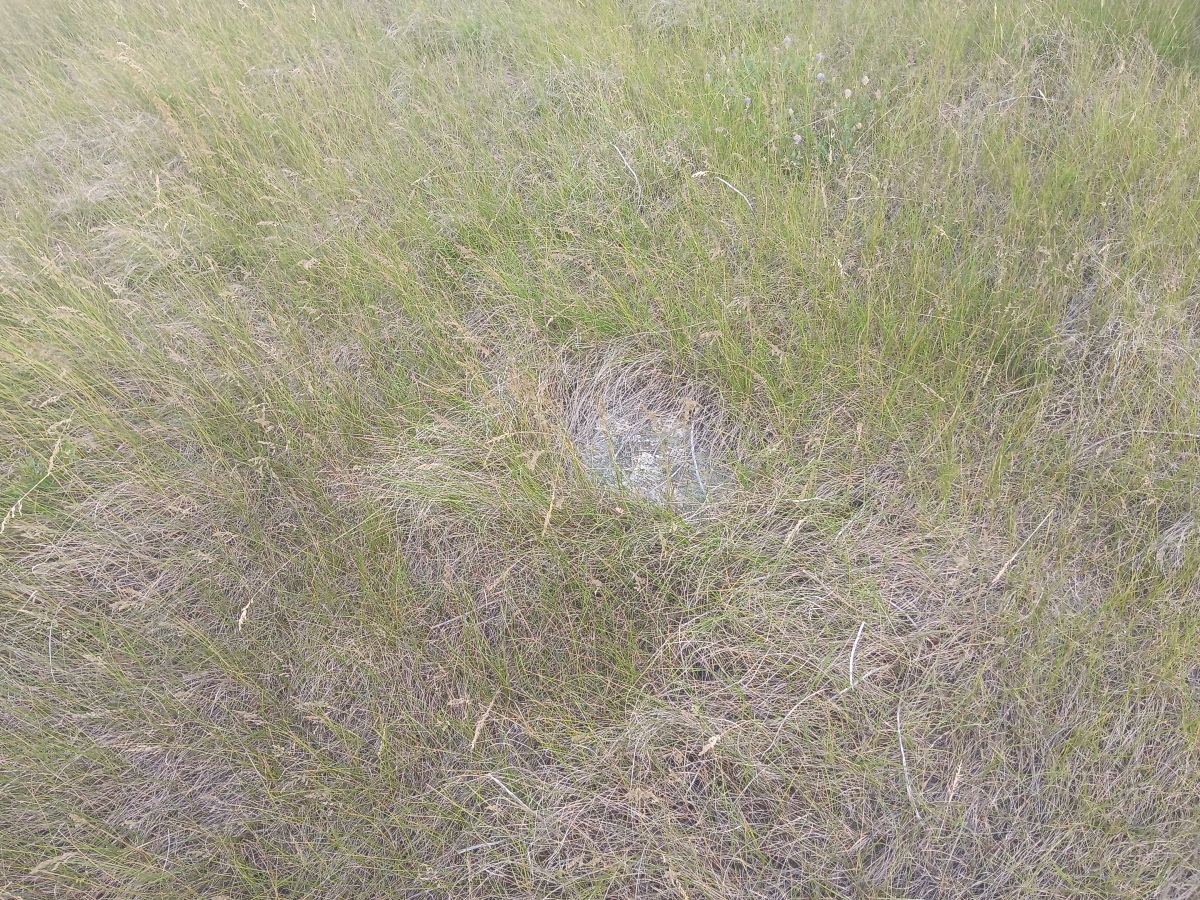
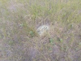
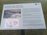
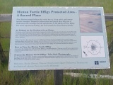
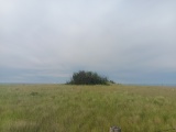
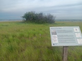
The Minton Turtle Effigy is located on a hill overlooking Big Muddy Badlands and Big Muddy Lake. The effigy is 41.98 m (137.7 ft) long and 26.07 m (85.5 ft) wide. It was first identified by Thomas Kehoe in 1965. He believed it represented a turtle; however, others, including Indigenous elders, believe it represents a badger. The site is a protected area and is fenced off with an informative plaque describing the turtle.
Situated on a high, grassy knoll overlooking the Big Muddy Valley, this site afforded early First Nations people a panoramic view of the Valley and the surrounding areas while the deep Valley crevices gave them refuge from inclement weather and oncoming danger. Life all of the petroform sites in Saskatchewan, the Minton Turtle Effigy is located within three kilometres of permanent dependable water sources. The abundance of wildlife including bison and birds, and plants including berries, sage, wolf willow and prickly-pear cactus provided sustenance and medicines for the First Nations people who occupied these lands.
You may be viewing yesterday's version of this page. To see the most up to date information please register for a free account.


Do not use the above information on other web sites or publications without permission of the contributor.
Click here to see more info for this site
Nearby sites
Click here to view sites on an interactive map of the areaKey: Red: member's photo, Blue: 3rd party photo, Yellow: other image, Green: no photo - please go there and take one, Grey: site destroyed
Download sites to:
KML (Google Earth)
GPX (GPS waypoints)
CSV (Garmin/Navman)
CSV (Excel)
To unlock full downloads you need to sign up as a Contributory Member. Otherwise downloads are limited to 50 sites.
Turn off the page maps and other distractions
Nearby sites listing. In the following links * = Image available
1.8km S 176° Minton Deer Effigy* Rock Art
37.4km WSW 241° Blackfoot Buffalo Effigy* Rock Art
85.2km WNW 288° St.Victor Petroglyphs* Rock Art
244.3km NNW 329° Mistasiniy* Natural Stone / Erratic / Other Natural Feature
250.5km NNW 329° Mistaseni Cairn* Marker Stone
362.1km NNW 340° Wanuskewin Heritage Park* Museum
379.7km SE 130° Double Ditch State Historic Site* Ancient Village or Settlement
398.1km W 280° Stampede Site* Ancient Mine, Quarry or other Industry
438.4km WNW 284° Saami Giant Teepee* Ancient Village or Settlement
462.8km N 6° Nipawin Medicine Wheel Reconciliation Park* Ancient Village or Settlement
472.9km SW 217° Pictograph Caves* Rock Art
499.8km W 271° Writing-on-Stone Provincial Park* Rock Art
508.5km NNW 345° Park Valley Megalithic Stone Circle* Modern Stone Circle etc
511.1km S 180° Devil's Tower National Monument* Natural Stone / Erratic / Other Natural Feature
518.9km S 175° Vore Buffalo Jump* Natural Stone / Erratic / Other Natural Feature
521.6km WNW 282° Fincastle Grazing Reserve Bison Kill* Ancient Mine, Quarry or other Industry
530.3km SW 218° Valley of the Shields* Rock Art
535.5km WSW 252° First Peoples Buffalo Jump* Natural Stone / Erratic / Other Natural Feature
539.3km S 180° Arch Creek Petroglyphs* Rock Art
539.9km SSW 204° Falling Block* Natural Stone / Erratic / Other Natural Feature
541.0km SSW 208° Bighorn Medicine Wheel* Stone Circle
544.8km SSW 213° Petroglyph Canyon (Cowley)* Rock Art
561.8km NNE 26° Kapakoskasewakak Lake stones Stone Row / Alignment
567.5km ESE 113° Standing Rock State Historic Site* Artificial Mound
570.4km WNW 289° Majorville Medicine Wheel* Round Cairn
View more nearby sites and additional images


 We would like to know more about this location. Please feel free to add a brief description and any relevant information in your own language.
 Wir möchten mehr über diese Stätte erfahren. Bitte zögern Sie nicht, eine kurze Beschreibung und relevante Informationen in Deutsch hinzuzufügen.
 Nous aimerions en savoir encore un peu sur les lieux. S'il vous plaît n'hesitez pas à ajouter une courte description et tous les renseignements pertinents dans votre propre langue.
 Quisieramos informarnos un poco más de las lugares. No dude en añadir una breve descripción y otros datos relevantes en su propio idioma.