<< Our Photo Pages >> Tel 'Avdat - Ancient Village or Settlement in Israel
Submitted by motist on Saturday, 25 June 2016 Page Views: 7545
Multi-periodSite Name: Tel 'Avdat Alternative Name: ObodaCountry: Israel Type: Ancient Village or Settlement
Nearest Town: Mitspe Ramon Nearest Village: Sde - Boker college
Latitude: 30.794474N Longitude: 34.773516E
Condition:
| 5 | Perfect |
| 4 | Almost Perfect |
| 3 | Reasonable but with some damage |
| 2 | Ruined but still recognisable as an ancient site |
| 1 | Pretty much destroyed, possibly visible as crop marks |
| 0 | No data. |
| -1 | Completely destroyed |
| 5 | Superb |
| 4 | Good |
| 3 | Ordinary |
| 2 | Not Good |
| 1 | Awful |
| 0 | No data. |
| 5 | Can be driven to, probably with disabled access |
| 4 | Short walk on a footpath |
| 3 | Requiring a bit more of a walk |
| 2 | A long walk |
| 1 | In the middle of nowhere, a nightmare to find |
| 0 | No data. |
| 5 | co-ordinates taken by GPS or official recorded co-ordinates |
| 4 | co-ordinates scaled from a detailed map |
| 3 | co-ordinates scaled from a bad map |
| 2 | co-ordinates of the nearest village |
| 1 | co-ordinates of the nearest town |
| 0 | no data |
Internal Links:
External Links:
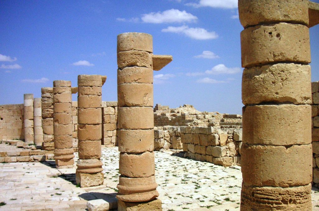
The oldest archaeological artifacts are pottery and coins from the Hellenistic era (end of the 4th century BCE). No construction remains were found from this era, and the oldest Nabatean inscriptions are from the reign of king Hartat the 4th (40 - 9 BCE).Nabatean 'Avdat was looted and burnt by Arab tribes and was abandoned for more then a generation. Habitation was renewed in the beginning of the reign of king Ravel the 2nd (70 - 106 CE).
In 106 CE, the Nabatean kingdom was annexed by the Roman emperor Trajan Caesar, in order to take over the Frankincense trade, and the Nabatean had to turn to farming for subsistence.
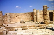
No evidence from the 2nd century CE was found, the reconstruction of 'Avdat started again in the 3rd century CE, the old Nabatean temple renovated and sanctified in 266/267 CE.
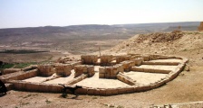
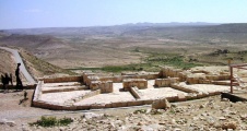
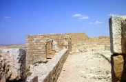
The Acropolis
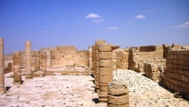
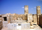
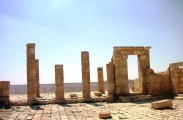
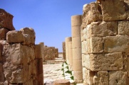
Like all the Nabatean sites, 'Avdat Acropolis is situated on top of a high hill, on the Acropolis the important public buildings and specially the temples were built, of which not much survived,
Christianity infiltrated the Negev in the middle of the 4Th century CE, maybe with the aid of the Byzantine army that adopted Christianity by the orders of the authorities. In the first construction wave at least one Church was built on the older Nabatean sanctuaries.
You may be viewing yesterday's version of this page. To see the most up to date information please register for a free account.
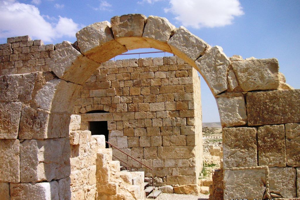




These are just the first 25 photos of Tel 'Avdat. If you log in with a free user account you will be able to see our entire collection.
Do not use the above information on other web sites or publications without permission of the contributor.
Click here to see more info for this site
Nearby sites
Click here to view sites on an interactive map of the areaKey: Red: member's photo, Blue: 3rd party photo, Yellow: other image, Green: no photo - please go there and take one, Grey: site destroyed
Download sites to:
KML (Google Earth)
GPX (GPS waypoints)
CSV (Garmin/Navman)
CSV (Excel)
To unlock full downloads you need to sign up as a Contributory Member. Otherwise downloads are limited to 50 sites.
Turn off the page maps and other distractions
Nearby sites listing. In the following links * = Image available
4.6km WNW 302° Har Mihya* Rock Art
9.9km N 9° The Lost City* Ancient Village or Settlement
16.7km NW 305° Shivta National Park* Ancient Village or Settlement
19.1km SW 233° Wadi 'Akrav Petroglyphs* Rock Art
19.2km W 262° Be'er Resisim* Ancient Village or Settlement
21.3km NNE 25° Har Rakhama* Ancient Village or Settlement
22.7km SSE 160° Ramon crater open air sanctuary* Ancient Temple
23.2km N 359° Ramat Negev stone wine press* Ancient Mine, Quarry or other Industry
23.9km SSW 209° Wadi Kabir Matseboth* Ancient Temple
24.1km SSW 208° Wadi Kabir cistern* Ancient Mine, Quarry or other Industry
24.6km SE 142° Ramat Saharonim* Ancient Temple
26.0km SSE 150° Wadi Gvanim Tumulus and Matsebah* Round Barrow(s)
26.0km SSE 149° Wadi Gvanim Ancient Bedouin cemetery* Barrow Cemetery
26.4km SE 143° Ein Saharonim* Stone Fort or Dun
29.1km SSE 159° Wadi Anaka camp site* Ancient Village or Settlement
29.2km SSE 162° Wadi Anaka Habitation site & Predators Trap* Ancient Village or Settlement
29.5km SSE 155° Lower wadi Anaka Open air sanctuary and camp site* Ancient Temple
31.3km S 181° wadi 'Oded* Cave or Rock Shelter
33.8km WNW 286° Tel Nitzana* Ancient Village or Settlement
35.5km NNW 342° Haluza Ancient Village or Settlement
36.0km S 184° wadi 'Arod tributary (3)* Ancient Temple
36.0km S 184° wadi 'Arod tributary (4)* Ancient Village or Settlement
36.1km S 183° wadi 'Arod tributary (5)* Ancient Village or Settlement
36.2km S 185° wadi 'Arod tributary (2)* Ancient Village or Settlement
36.3km ESE 110° Wadi Marzeba Crenellation Line* Ancient Temple
View more nearby sites and additional images


 We would like to know more about this location. Please feel free to add a brief description and any relevant information in your own language.
 Wir möchten mehr über diese Stätte erfahren. Bitte zögern Sie nicht, eine kurze Beschreibung und relevante Informationen in Deutsch hinzuzufügen.
 Nous aimerions en savoir encore un peu sur les lieux. S'il vous plaît n'hesitez pas à ajouter une courte description et tous les renseignements pertinents dans votre propre langue.
 Quisieramos informarnos un poco más de las lugares. No dude en añadir una breve descripción y otros datos relevantes en su propio idioma.