Contributory members are able to log private notes and comments about each site
Sites TheCaptain has logged. View this log as a table or view the most recent logs from everyone
Symonds Hall Farm
Date Added: 18th Sep 2010
Site Type: Long Barrow
Country: England (Gloucestershire)
Visited: Yes on 18th Nov 2004

Symonds Hall Farm submitted by thecaptain on 18th Nov 2004. Symonds Hall Farm Long Barrow, as seen when approaching from the west.
It can be seen to be in two parts now, and with the odd stone or two to be seen
(View photo, vote or add a comment)
Log Text: None
Shortwood Hill barrow
Date Added: 18th Sep 2010
Site Type: Round Barrow(s)
Country: England (Gloucestershire)
Visited: Yes on 25th Jan 2005
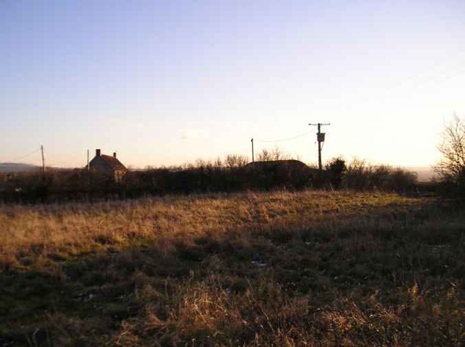
Shortwood Hill barrow submitted by thecaptain on 25th Jan 2005. Shortwood hill barrow viewed from the north
(View photo, vote or add a comment)
Log Text: None
Shortwood Circle
Date Added: 18th Sep 2010
Site Type: Modern Stone Circle etc
Country: England (Gloucestershire)
Visited: Yes on 26th Jan 2005

Shortwood Circle submitted by thecaptain on 26th Jan 2005. Shortwood circle. Seen here silhouetted against a setting January sun.
(View photo, vote or add a comment)
Log Text: None
Adlestrop Hill
Date Added: 18th Sep 2010
Site Type: Long Barrow
Country: England (Gloucestershire)
Visited: Yes on 3rd Apr 2006

Adlestrop Hill submitted by thecaptain on 3rd Apr 2006. Adlestrop Hill long barrow.
Just about found and identified after a long search by about a dozen hardened stonehunters, and a couple of full time archaeologists.
(View photo, vote or add a comment)
Log Text: None
Ganborough
Date Added: 18th Sep 2010
Site Type: Chambered Tomb
Country: England (Gloucestershire)
Visited: Yes on 4th Jan 2007
Ganborough submitted by thecaptain on 4th Jan 2007. This was obviously once a large and substantial longbarrow sited on a hilltop ridge. But these days it is very easily missed as you drive past on the busy A424 which cuts through its southeastern end.
Viewed here looking north.
(View photo, vote or add a comment)
Log Text: None
Poles Wood East
Date Added: 18th Sep 2010
Site Type: Long Barrow
Country: England (Gloucestershire)
Visited: Yes on 4th Jan 2007
Poles Wood East submitted by thecaptain on 4th Jan 2007. Poles Wood as seen from the lane between Upper and Lower Swell.
There was no obvious route up into the wood, and I didn't have much time, so I didn't go into the woods to search out any of the long barrows within.
(View photo, vote or add a comment)
Log Text: None
Lower Swell barrow
Date Added: 18th Sep 2010
Site Type: Chambered Tomb
Country: England (Gloucestershire)
Visited: Yes on 5th Jan 2007
Lower Swell barrow submitted by thecaptain on 5th Jan 2007. The barrow can be seen under the bushes in its little enclosure at the far side of the cropped field - strangely well down the hillside.
(View photo, vote or add a comment)
Log Text: None
Hazleton North
Date Added: 18th Sep 2010
Site Type: Chambered Tomb
Country: England (Gloucestershire)
Visited: Yes on 7th Jan 2007
Hazleton North submitted by thecaptain on 7th Jan 2007. Now completely destroyed after the excavations, all that there is to be seen of this ex longbarrow is a very slight raise in the middle of a ploughed field.
(View photo, vote or add a comment)
Log Text: None
Hazleton South
Date Added: 18th Sep 2010
Site Type: Chambered Tomb
Country: England (Gloucestershire)
Visited: Yes on 7th Jan 2007
Hazleton South submitted by thecaptain on 7th Jan 2007. Hazleton South longbarrow is left clear in the field and is not currently ploughed up, although I would think it has been in the past. I would estimate the slight mound, maximum one metre in height, to be about 50 metres in length by 25 metres wide.
(View photo, vote or add a comment)
Log Text: None
Notgrove
Date Added: 18th Sep 2010
Site Type: Long Barrow
Country: England (Gloucestershire)
Visited: Yes on 7th Jan 2007
Notgrove submitted by thecaptain on 7th Jan 2007. The completely hopeless and uninformative sign at the site of Notgrove longbarrow. This site is a disgrace to English Heritage and Gloucester Council.
(View photo, vote or add a comment)
Log Text: None
Cold Aston
Date Added: 18th Sep 2010
Site Type: Chambered Tomb
Country: England (Gloucestershire)
Visited: Yes on 7th Jan 2007
Cold Aston submitted by thecaptain on 7th Jan 2007. Cold Aston longbarrow seen close up at the northwestern end.
(View photo, vote or add a comment)
Log Text: None
Whittlestone
Date Added: 18th Sep 2010
Site Type: Standing Stone (Menhir)
Country: England (Gloucestershire)
Visited: Yes on 9th Jan 2007
Whittlestone submitted by thecaptain on 9th Jan 2007. In the centre of the village of Lower Swell, just off the village green to the northwest side can be found the Whittlestone.
It sits on a grassy bank with a little sign stating that it was once part of a neolithic burial chamber, and had originally been further up the hill near to the churchyard.
(View photo, vote or add a comment)
Log Text: None
The Horestone (Lower Swell)
Date Added: 18th Sep 2010
Site Type: Standing Stone (Menhir)
Country: England (Gloucestershire)
Visited: Yes on 10th Jan 2007
The Horestone (Lower Swell) submitted by thecaptain on 10th Jan 2007. The Horestone stands in a field to the southwest of the village of Lower Swell.
Almost certainly once part of a burial chamber from within a longbarrow, it's about 2 metres long, less than a metre in height and varies in thickness.
(View photo, vote or add a comment)
Log Text: None
Hangman's Stone (Northleach)
Date Added: 18th Sep 2010
Site Type: Standing Stone (Menhir)
Country: England (Gloucestershire)
Visited: Yes on 14th Jan 2007
Hangman's Stone (Northleach) submitted by thecaptain on 14th Jan 2007. The situation of the Hangman's Stone.
Easily found to the west of Northleach, near a radio mast.
(View photo, vote or add a comment)
Log Text: None
Dyrham Camp
Date Added: 17th Oct 2020
Site Type: Hillfort
Country: England (Gloucestershire)
Visited: Yes on 9th Sep 2007
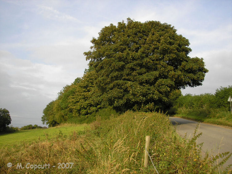
Dyrham Camp submitted by thecaptain on 28th Aug 2008. The western "point" of Hinton Hillfort, where it is cut into two by the little road up the hillside from the village of Hinton below.
(View photo, vote or add a comment)
Log Text: Dyrham Camp, otherwise known as Hinton Hillfort, is not so much a hillfort, but more a promontary fort, on a southwest facing spur of the Cotswold Hills north of Bath. Basically triangular in shape, it is cut into two by the little road up the hillside from the village of Hinton below. The northern part is mostly in woodland, and seems to be used as a rubbish dump these days. The hill edge has been shaped, and in places the bank and ditch is in fine condition, perhaps kept in shape in more recent times for drainage. The southern half of the fort is open pasture with a public footpath running through, and the steep southern slopes are sort of terraced, with several almost cliff like ramparts, below which are quite spectacular remains of ancient field systems. The eastern edge of the fort, where the land is flat on top of the Cotswold plateau, has a large ditch and bank in place across the headland. The ditch is about 10 metres wide and 2 metres deep, with a bank up to 4 metres high on the inside, which even these days is a fairly good barrier to entry.
St Anthony's Well (Cinderford)
Date Added: 18th Sep 2010
Site Type: Holy Well or Sacred Spring
Country: England (Gloucestershire)
Visited: Yes on 19th Nov 2008
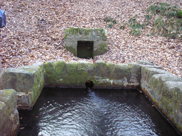
St Anthony's Well (Cinderford) submitted by thecaptain on 19th Nov 2008. St Anthony's Well near Cinderford in the Forest of Dean.
(View photo, vote or add a comment)
Log Text: None
Hetty Pegler's Tump
Date Added: 23rd Oct 2021
Site Type: Passage Grave
Country: England (Gloucestershire)
Visited: Yes on 14th Apr 2009. My rating: Condition 3 Ambience 3 Access 4
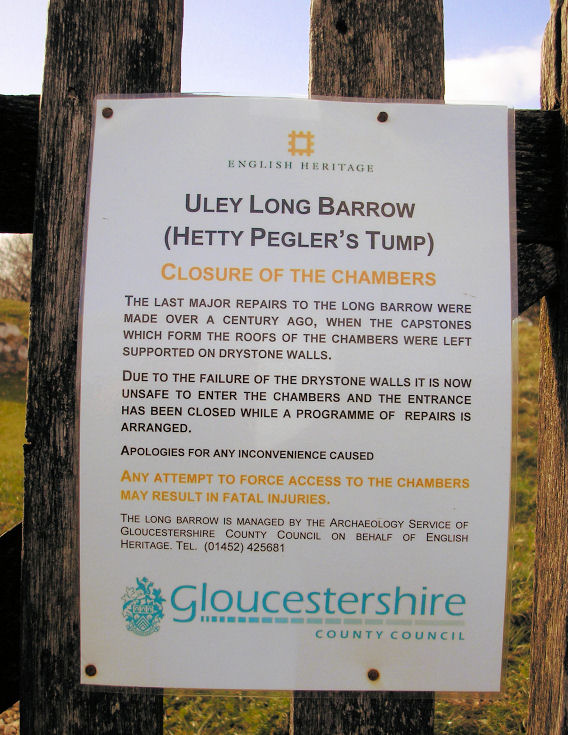
Hetty Pegler's Tump submitted by thecaptain on 15th Mar 2009. The closure notice.
(View photo, vote or add a comment)
Log Text: March 2009 and Hetty Pegler`s Tump was closed and sealed off to the public, due to concerns over its safety, with the internal drystone walling collapsing due to vandalism and the weight of the capstones resting on these walls since the 19th century reconstruction. Scaffolding has been used to prop up the chambers, and the entrance passage and courtyard sealed and filled with earth.
Avening burial chambers
Date Added: 18th Sep 2010
Site Type: Burial Chamber or Dolmen
Country: England (Gloucestershire)
Visited: Yes on 24th Mar 2009
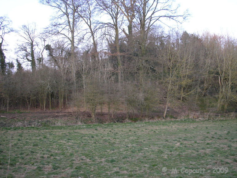
Avening burial chambers submitted by thecaptain on 24th Mar 2009. The view of where the burial chambers are from the road.
(View photo, vote or add a comment)
Log Text: None
Gatcombe Lodge
Date Added: 18th Sep 2010
Site Type: Long Barrow
Country: England (Gloucestershire)
Visited: Yes on 24th Mar 2009
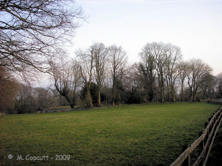
Gatcombe Lodge submitted by thecaptain on 24th Mar 2009. Having read several tales of people being stopped and questioned by rapidly arriving police here, I didn’t spend long, and just took a photo from the entry to the estate.
It looks to be the regular shapeless lumpy bumpy mess covered in trees.
(View photo, vote or add a comment)
Log Text: None
The Toots (King's Stanley)
Date Added: 23rd Oct 2021
Site Type: Long Barrow
Country: England (Gloucestershire)
Visited: Yes on 14th Mar 2009. My rating: Condition 3 Ambience 4 Access 4

The Toots (King's Stanley) submitted by thecaptain on 22nd Apr 2009. The Toots - seen on the skyline of Selsley common above the church. Viewed here from Stroud
(View photo, vote or add a comment)
Log Text: Remains of a large unexcavated Long Barrow on the Cotswold escarpment slopes of Selsley Common, just to the south of Stroud in Gloucestershire. Possibly called 'The Toots' because of a hollow in the middle which makes it look as if it is composed of two mounds. The views on a good day from here are terrific, and the common is a favourite place for dogwalkers, kite flyers and model plane flying.
