Contributory members are able to log private notes and comments about each site
Sites Stonetracker has logged. View this log as a table or view the most recent logs from everyone
Governor Nelson State Park Effigy Mounds
Date Added: 5th Aug 2024
Site Type: Artificial Mound
Country: United States (Great Lakes Midwest)
Visited: Yes on 1st Jul 2024. My rating: Condition 3 Ambience 2 Access 3
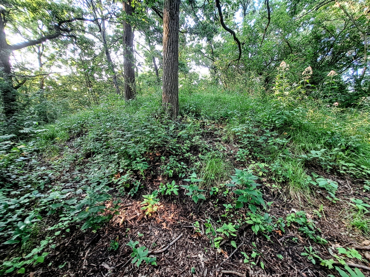
Governor Nelson State Park Effigy Mounds submitted by stonetracker on 2nd Aug 2024. One of the conical mounds right on the Woodland Trail. I was able to locate 3 of them.
Unfortunately none of the mounds is well maintained and large trees have been allowed to grow on some of them. Invasive plants will likely overwhelm the rest without a change in policy. In fairness, the park has a history of vandalism, including stolen signs and broken fencing, which makes preservation challenging.
(View photo, vote or add a comment)
Log Text: This Late Woodland site is in a state park on the west shore of Lake Mendota near Madison WI. Parking and trail access at the south entrance near Borchers Beach Rd. There are two sites. The conical mounds are 1000 ft north of parking on the Woodland Trail. The large panther effigy is maybe 100 yds north of the conicals.
At least some of the conicals are visible but being rapidly consumed by invasive plants. The panther mound is completely overgrown in summer and I wasn't able to see much. Maybe in fall or winter? There was another restored panther at Camp Wakanda but I was unable to find it.
Picnic Point Effigy Mounds
Date Added: 6th Aug 2024
Site Type: Artificial Mound
Country: United States (Great Lakes Midwest)
Visited: Yes on 1st Jul 2024. My rating: Ambience 3 Access 3
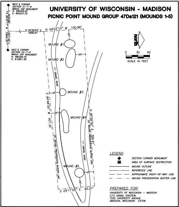
Picnic Point Effigy Mounds submitted by stonetracker on 6th Aug 2024. Map showing layout of the five-mound main group
(View photo, vote or add a comment)
Log Text: The mounds are on a peninsula in Lake Mendota on conservation land owned by the Univ of Wisc. They are accessible via the Lakeshore Trail. Parking is available at the trailhead for a fee. The first group of 5 mounds is about a 1/4 mile level walk from the lot, next to and just north of the trail. The last conical mound is another 600 ft east along the trail and just to its south.
Unfortunately site maintenance seems to be cyclical at best. I was unable to find or positively identify any of the mounds due to summer overgrowth, suggesting that non growing seasons may present better viewing opportunities. There was also no obvious interpretation signage. However, Andrew Khitsun (the owner of the Wisconsin Mounds site) has posted a few photos with most of the overgrowth and some trees removed from the mounds. They are undated but I assume they are at least post-2000.
Obviously they have been better maintained in the past than currently.
Nitschke Mounds State Park
Date Added: 6th Aug 2024
Site Type: Artificial Mound
Country: United States (Great Lakes Midwest)
Visited: Yes on 1st Jul 2024. My rating: Condition 2 Ambience 4 Access 4
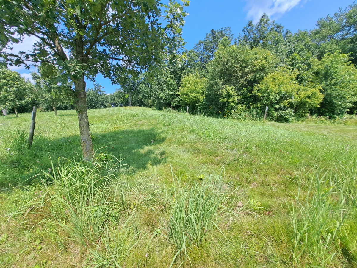
Nitschke Mounds State Park submitted by stonetracker on 7th Aug 2024. Mound 9 - Buffalo or Bear. The head and forelegs are in the foreground.
(View photo, vote or add a comment)
Log Text: The effigy mounds are in a county park just 200 yds north of the paved road. Ample parking in a dirt lot with a picnic shelter and interpretation kiosk.
Considering that the park is maintained mostly by volunteers, the condition of the site is surprisingly good. About 2/3rds of the mounds are at least somewhat visible and cleared of trees and shrubs. Native long grass has been left on the mounds to discourage walking over them. A short trail system weaves in and out among the mounds and is regularly maintained by mowing. The remaining 1/3 of the mounds still need to be cleared off and the trail system extended to include them. They are mostly in a wooded area at present. Interpretation and signage at each mound is sparse, so I assume this is a work in progress. There is a bit more information at the entrance kiosk.
Effigy mounds by their very nature tend to be low profile and hard to photograph. This is particularly the case at Nitschke where erosion has really taken its toll. So my photos and videos are limited to just a few of the biggest and most visible mounds.
Mendota Mental Health Institute Effigy Mounds
Date Added: 27th Aug 2024
Site Type: Artificial Mound
Country: United States (Great Lakes Midwest)
Visited: Yes on 1st Jul 2024. My rating: Condition 3 Ambience 5 Access 4

Mendota Mental Health Institute Effigy Mounds submitted by stonetracker on 22nd Aug 2024. At the far western edge of the Central Mound group is an unusual panther effigy on a rise of land with a curved, upturned tail.
Difficult to photograph, but the forelegs and hindlegs are on the left and right respectively. Head and tail out of view.
(View photo, vote or add a comment)
Log Text: As far as I know, public access to the Mendota Mental Health Institute grounds is allowed without permission, although it is recommended that one stop by the Administration Bldg to check in.
To access the Central Group of mounds, park in the large lot northeast of the intersection of Main Drive & Cinder Drive. It is 200 yd walk from there to the bird effigy mounds (see map) via a paved walkway. The upper panther mound is set apart from the others on Cinder Drive. However, there is no parking at that site and the Cinder Drive lot was under construction as of 2024. But it is a relatively easy walk to the upper panther mound from Main Drive or from the other effigies in this group.
To access the Western Group, continue on Main Drive heading west and take a left onto Memorial Drive. The large conical mounds are about 1000 ft further next to the road on the left at Farwell's Pt. I could only find on-street parking, but there was little or no traffic in that area.
Aztalan State Park
Date Added: 9th Aug 2024
Site Type: Ancient Village or Settlement
Country: United States (Great Lakes Midwest)
Visited: Yes on 1st Jul 2024. My rating: Condition 4 Ambience 5 Access 4
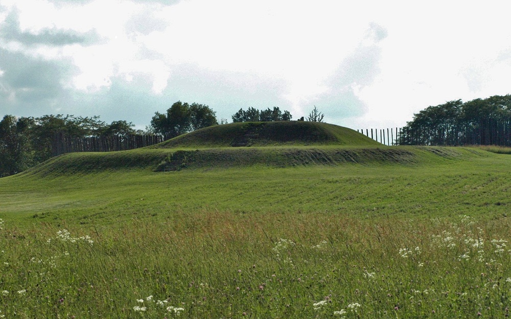
Aztalan State Park submitted by bat400 on 31st Mar 2013. The largest mound at Aztalan is a "stepped" pyramidal structure in the southwest corner of the stockade surround.
This is a partial reconstruction of the site as found in the early 1800's. By the 1920's there had been substantial plowing of the site and significant damage by "pot hunters" and those simply "quarrying" the mounds for fill dirt and the remains of burnt wattle and daub from the original stockade.
Photo by bat400, July 2010.
(View photo, vote or add a comment)
Log Text: A very well-maintained hybrid Late Woodland-Mississippian prehistoric site in Aztalan State Park, Aztalan WI. There are two parking lots. One at the south end of the "marker mounds" at the state park entrance provides short and easy trail access to the northwest platform mound. The other larger lot is accessible via a paved road past the main park entrance and is located close to the southwest "temple" mound via a short trail.
The Princess Mound (which I did not visit) is located behind the museum north of the main park entrance.
Christmas Mound
Date Added: 7th Apr 2024
Site Type: Artificial Mound
Country: United States (The South)
Visited: Yes on 1st Apr 2024. My rating: Condition 3 Ambience 3
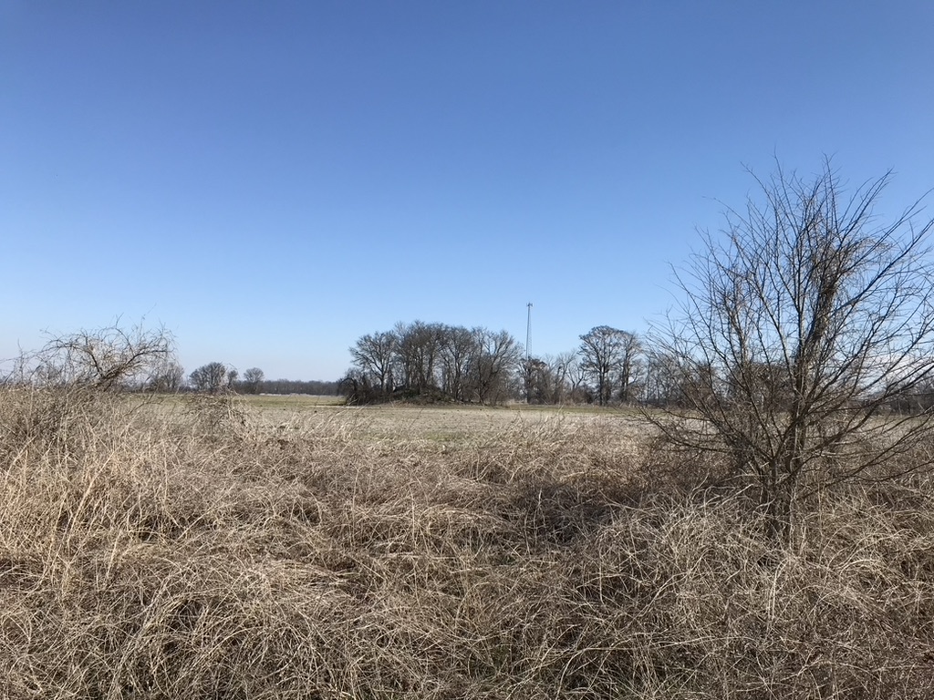
Christmas Mound submitted by AKFisher on 10th Aug 2023. Christmas Mound in Mississippi. It started as a midden mound in AD 400 and was enlarged to 10-feet in height in a small window of time. There are many similar mounds all over the southeast, most of which are unmarked. Photo courtesy Dr Greg Little, author of the Illustrated Encyclopedia of Native American Indian Mounds & Earthworks (2016).
(View photo, vote or add a comment)
Log Text: Mound is as described about 200 yds east of the parking pulloff in a private cultivated area. Only remote viewing is possible.
Batesville Mounds
Date Added: 7th Apr 2024
Site Type: Artificial Mound
Country: United States (The South)
Visited: Yes on 1st Apr 2024. My rating: Condition 4 Ambience 5 Access 4
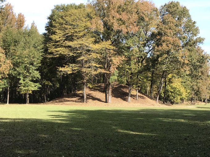
Batesville Mounds submitted by AKFisher on 26th Jul 2023. Burial Mound at Batesville, Mississippi. It is one of the sites on the state's mound trail. Photo credit Gregory L. Little, Ed.D.
(View photo, vote or add a comment)
Log Text: Visited twice in April 2024. This site is in a well maintained park, funded by both the town and state. Excellent interpretation and a paved walkway that allows disabled access to Mounds A-C. Mound D and the habitation areas require a further walk on an unpaved woods trail. Plenty of parking.
Ingomar Mounds
Date Added: 8th Apr 2024
Site Type: Artificial Mound
Country: United States (The South)
Visited: Yes on 1st Apr 2024. My rating: Condition 2 Ambience 4 Access 4
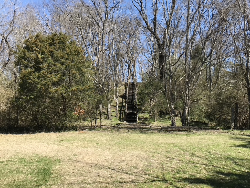
Ingomar Mounds submitted by AKFisher on 28th Jul 2023.
Ingomar Mound in Mississippi. It was a massive mound complex surrounded by an earthwork & palisade. This platform mound is all that remains today.
Photo courtesy Dr Greg Little, author of the Illustrated Encyclopedia of Native American Indian Mounds & Earthworks (2016).
(View photo, vote or add a comment)
Log Text: Most of this Middle Woodland site, once comprising 13 mounds and a palisade, was destroyed by cultivation. Was only able to find Mound 1 (a small burial mound only visible as a slight rise) and Mound 14 (a large rectangular platform mound in good condition).
All publicly accessible with parking and some interpretation. Mound 14 is about 1000 ft away on a mown footpath. Mound 1 is off to the left on the way to 14.
Alligator Mounds (Clarksdale)
Date Added: 9th Apr 2024
Site Type: Artificial Mound
Country: United States (The South)
Visited: Yes on 1st Apr 2024. My rating: Condition 3 Ambience 3
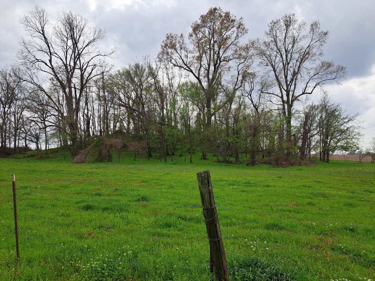
Alligator Mounds (Clarksdale) submitted by stonetracker on 8th Apr 2024. Mound B, this is the closest mound to the road. All mounds are on a private farm and closer access is only possible with permission.
(View photo, vote or add a comment)
Log Text: Although there is no official parking pulloff, the road has enough shoulder to pull partially off it opposite Mound B. Mound B and C are clearly visible in a field behind a wire fence. Mound A is mostly blocked from view. Mounds D and E are in the middle of cultivated land and I was unable to definitely ID them.
Shiloh Indian Mounds
Date Added: 9th Apr 2024
Site Type: Ancient Village or Settlement
Country: United States (The South)
Visited: Yes on 1st Apr 2024. My rating: Condition 4 Ambience 5 Access 4
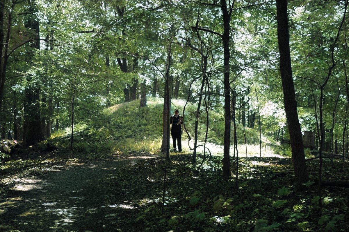
Shiloh Indian Mounds submitted by AKFisher on 2nd Aug 2023. Burial mound at the Shiloh, Tennessee mound complex & village area. The complex is dated to AD 1200.
Photo courtesy Dr Greg Little, author of the Illustrated Encyclopedia of Native American Indian Mounds & Earthworks (2016).
(View photo, vote or add a comment)
Log Text: The mound site is very compact and easily accessible along a National Park Service road or via a foot trail. Park at either the Shiloh Indian Mounds Visitor Kiosk or in a paved pullout area next to Mound F. The latter is the closest to the mound and plaza complex itself and most of the mounds are within a several hundred yard radius.
Pinson Mounds State Archaeological Park
Date Added: 12th Apr 2024
Site Type: Artificial Mound
Country: United States (The South)
Visited: Yes on 1st Apr 2024. My rating: Condition 3 Ambience 5 Access 3

Pinson Mounds - Sauls Mound submitted by symbionspacesuit on 14th Feb 2010. Sauls Mound (Mound 9)
(View photo, vote or add a comment)
Log Text: Visited the Central or Inner section only. There's a lot to see here in this section alone if you include all of the mounds, habitation areas, other non-mound sites. It took me 3 hrs just to cover all of the Central area not including the museum. Most features with some exceptions are accessible via paved walkways so disabled access is good. Quite a bit of walking involved to see it all, and limited parking sites. The museum lot is the best base to start from for the Central area.
I will cover the western and eastern areas in a subsequent visit.
Pinson Mounds - Sauls Mound
Date Added: 12th Apr 2024
Site Type: Artificial Mound
Country: United States (The South)
Visited: Yes on 1st Apr 2024. My rating: Condition 4 Ambience 5 Access 3

Pinson Mounds - Sauls Mound submitted by symbionspacesuit on 14th Feb 2010. Sauls Mound (Mound 9)
(View photo, vote or add a comment)
Log Text: See main Pinson Mounds article for visit information
Pinson Mounds - Other Sites
Date Added: 19th Apr 2024
Site Type: Artificial Mound
Country: United States (The South)
Visited: Yes on 1st Apr 2024. My rating: Condition 3 Ambience 4 Access 3
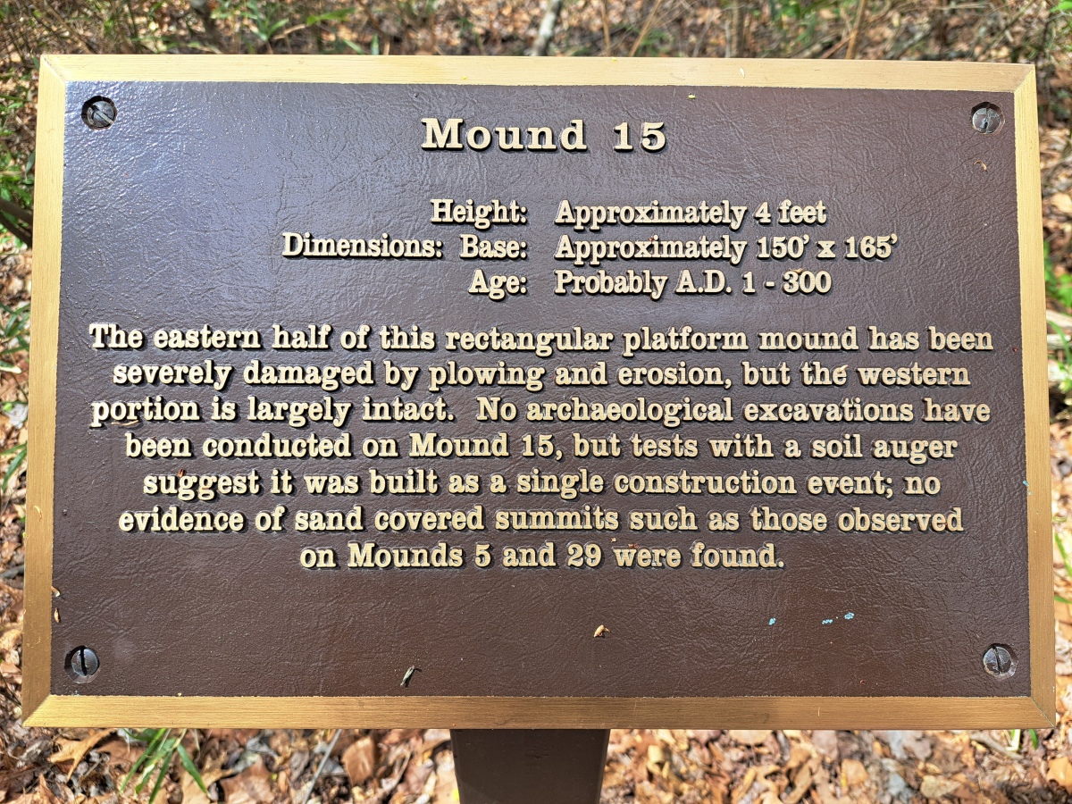
Pinson Mounds - Other Sites submitted by stonetracker on 24th Apr 2024. Mound 15 interpretation
(View photo, vote or add a comment)
Log Text: See Pinson Mounds main page for my visitor log comments.
Berry Cemetery Mound
Date Added: 15th Mar 2024
Site Type: Artificial Mound
Country: United States (The South)
Visited: Yes on 1st Feb 2024. My rating: Condition 2 Ambience 3
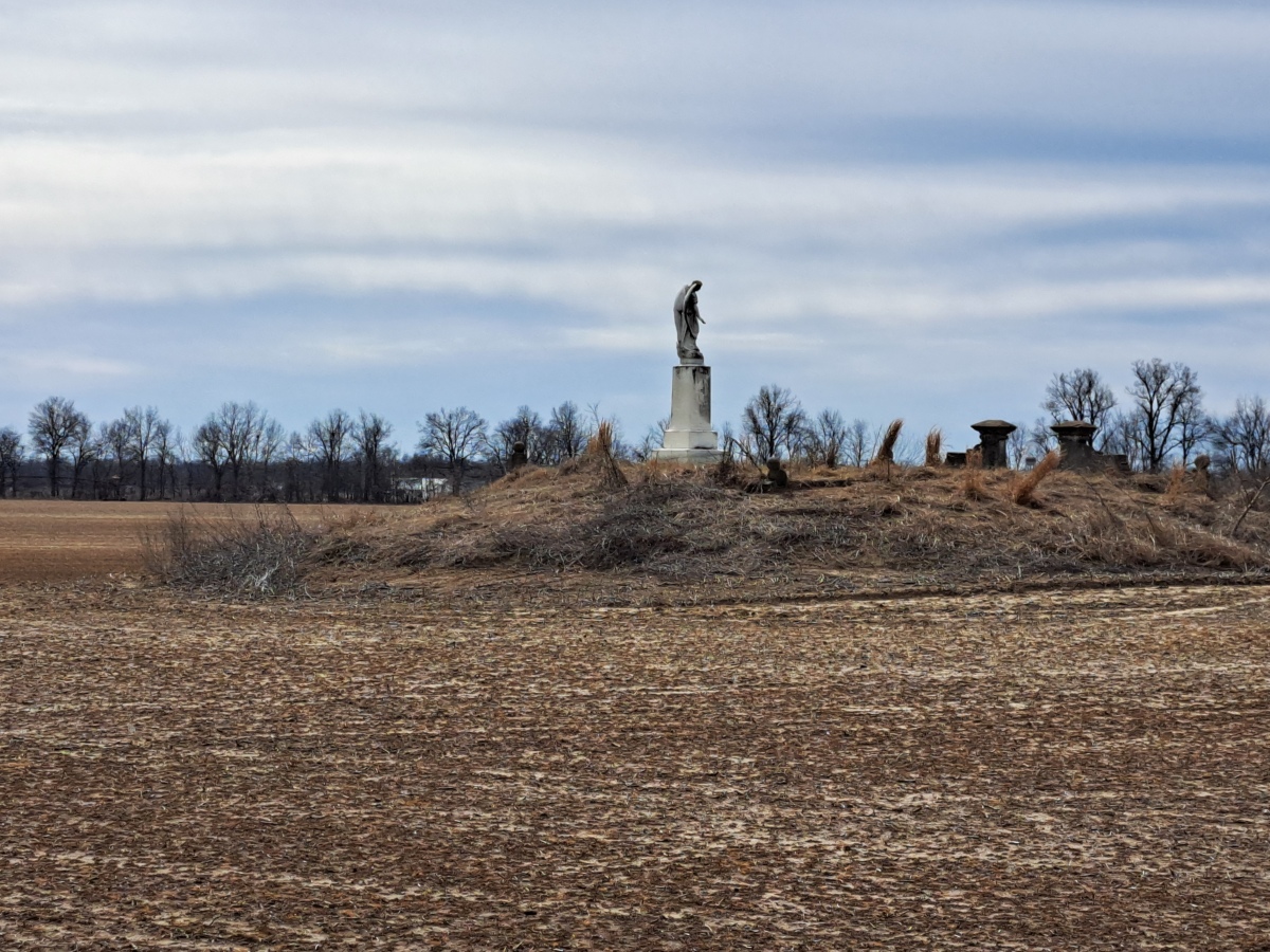
Berry Cemetery Mound submitted by stonetracker on 14th Mar 2024. The mound with historic cemetery in a cultivated field
(View photo, vote or add a comment)
Log Text: There is no official parking for this site. On-street only. The mound is very visible about 100 yds from the road in a private farm field.
Parkin
Date Added: 15th Mar 2024
Site Type: Ancient Village or Settlement
Country: United States (The South)
Visited: Yes on 1st Feb 2024. My rating: Condition 4 Ambience 4 Access 5
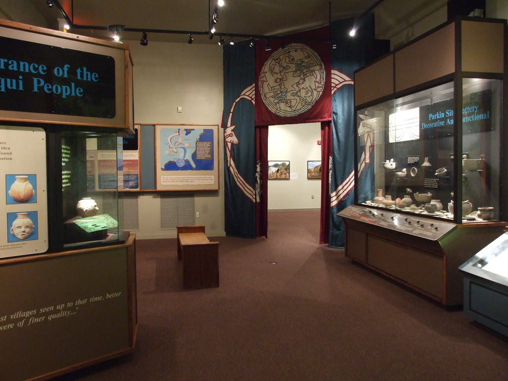
Parkin submitted by Flickr on 20th Sep 2015. Museum at the Parkin Archaelogical State Park in Parkin Arkansas. They are excavating the remains of a Native American village which is believed to have been visited by Hernando De Soto in 1541. Image copyright: mdsilverhawke, hosted on Flickr and displayed under the terms of their API.
(View photo, vote or add a comment)
Log Text: Well preserved Late Mississippian village and mound site with a nice museum. A paved trail provides good access to and interpretation of all cultural features at the site, including historic features. Appears to be fully accessible to disabled visitors.
Richard's Bridge
Date Added: 19th Mar 2024
Site Type: Ancient Village or Settlement
Country: United States (The South)
Visited: Saw from a distance on 1st Feb 2024
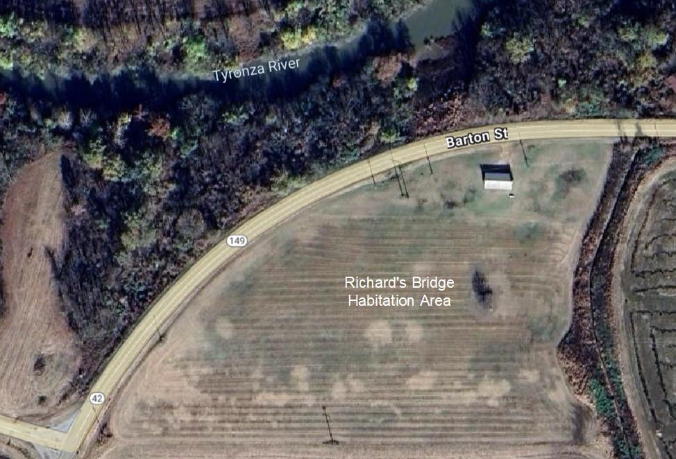
Richard's Bridge submitted by stonetracker on 19th Mar 2024. Aerial view of habitation site
(View photo, vote or add a comment)
Log Text: Saw from the road. The village is now in a cultivated field. The original mound was destroyed when the paved road was built.
Commerce Mounds
Date Added: 25th Mar 2024
Site Type: Artificial Mound
Country: United States (The South)
Visited: Saw from a distance on 1st Feb 2024. My rating: Condition 3
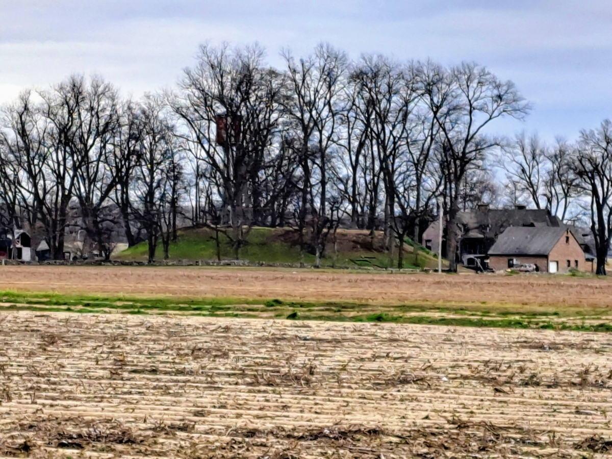
Commerce Mounds submitted by stonetracker on 8th Mar 2024. View of the one remaining large platform mound. Site is on private property, so the closest approach is about 1000 ft.
(View photo, vote or add a comment)
Log Text: This is on a large private farm with no close access and no safe on-street parking. There are private pkg lots across the main paved road about 1000 ft from the site where remote viewing is possible with some walking.
Alcorn Cemetery Mound
Date Added: 25th Mar 2024
Site Type: Artificial Mound
Country: United States (The South)
Visited: Yes on 1st Feb 2024. My rating: Condition 4 Ambience 4 Access 4

Alcorn Cemetery Mound submitted by stonetracker on 11th Mar 2024. Alcorn Cemetery mound behind fenced enclosure. It appears to be a rectangular platform mound although the extent to which it has been modified and reshaped is not known.
(View photo, vote or add a comment)
Log Text: Can park off road in a grassy pulloff area, at least in the winter. Cemetery is about a 100 yd walk.
Chickasaw Heritage Park
Date Added: 7th Mar 2024
Site Type: Artificial Mound
Country: United States (The South)
Visited: Yes on 1st Feb 2024. My rating: Condition 4 Ambience 4 Access 4
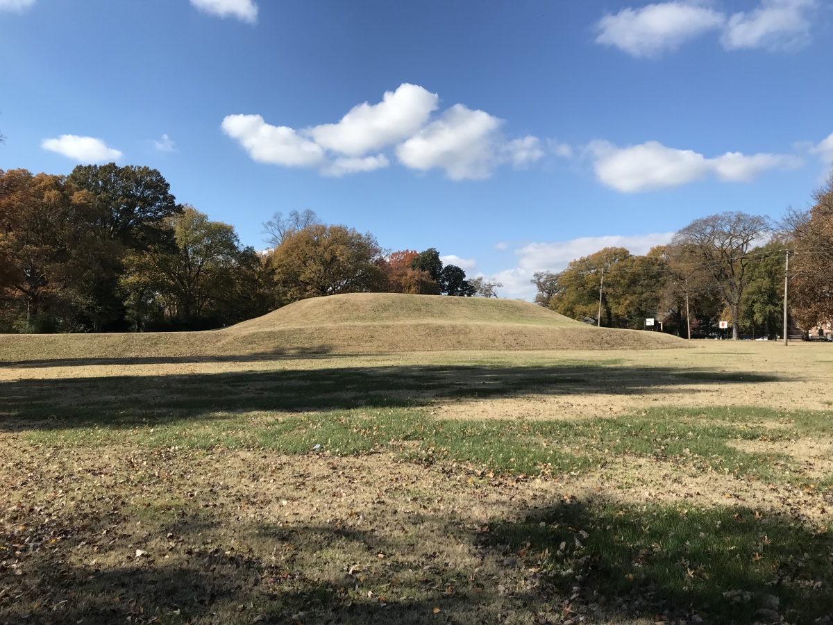
Chickasaw Heritage Park submitted by AKFisher on 14th Aug 2023. This is a really well formed platform mound, one of two at the site, in downtown Memphis, Tennessee next to the Mississippi River. It is thought by some to be the site where Hernando de Soto first saw the Mississippi River. Photo courtesy Dr Greg Little, author of the Illustrated Encyclopedia of Native American Indian Mounds & Earthworks (2016).
(View photo, vote or add a comment)
Log Text: Site remains as described. The only change I noticed was the tunnel leading to the Civil War magazine in the mound next to the river has been bricked up and blocked.
Edgefield Mounds
Date Added: 8th Mar 2024
Site Type: Artificial Mound
Country: United States (The South)
Visited: Yes on 1st Feb 2024. My rating: Condition 3 Ambience 4 Access 5
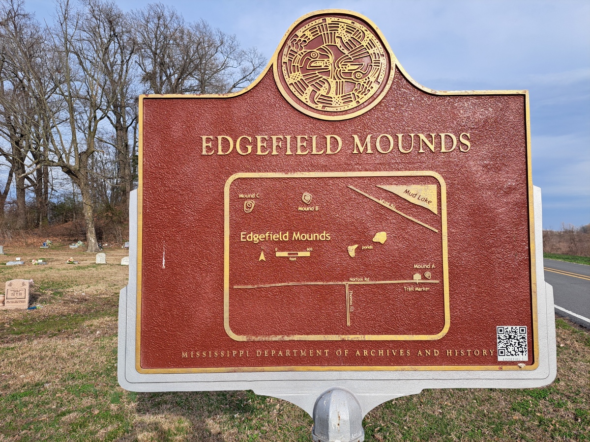
Edgefield Mounds submitted by stonetracker on 8th Mar 2024. Map on other side of sign
(View photo, vote or add a comment)
Log Text: Description of the site is accurate. Mound A is the only one of the three that is easily accessible - right next to the paved road, a cemetery, and the interpretive sign in a pullout area. A vacant church is located 100 yds to the west. Mounds B and C are well northwest of Mound A and much closer to a levee that was built next to what is now a tributary or oxbow of the Mississippi R. Both are on posted private land in wooded areas that block easy viewing. I was unable to locate Mound B, but may have seen Mound C from a considerable distance.
