Contributory members are able to log private notes and comments about each site
Sites Stonetracker has logged. View this log as a table or view the most recent logs from everyone
Benham Mound
Date Added: 31st Oct 2023
Site Type: Artificial Mound
Country: United States (Great Lakes Midwest)
Visited: Couldn't find
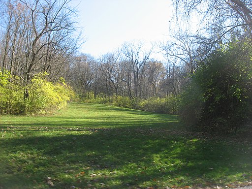
Benham Mound submitted by stonetracker on 22nd Feb 2023. The mound itself is in the woods on the hill and not shown in photo, courtesy of Wikipedia Creative Commons from 2012.
Comment from original poster:
"Looking southeast from Section Road at the Kincaid Road intersection in Amberley, Ohio, United States. In the woods at the top of the hill is the Benham Mound"
(View photo, vote or add a comment)
Log Text: Visited in late Oct 2023. Was unable to locate, but had only approximate coordinates. It is somewhere on the hilltop at the end of Grand Vista Ave which is private property.
There is a mowed field in a town park at the jct of Kincaid and Section Rds. There is a trail at the rear of the field leading up the hill. However, I didn't see anything obvious near the top and would have had to battle heavy overgrowth to explore further. This may have to be visited in a season when there is less obscuring vegetation.
Mathew Mound
Date Added: 31st Oct 2023
Site Type: Artificial Mound
Country: United States (Great Lakes Midwest)
Visited: Yes. My rating: Condition 4 Ambience 4 Access 5
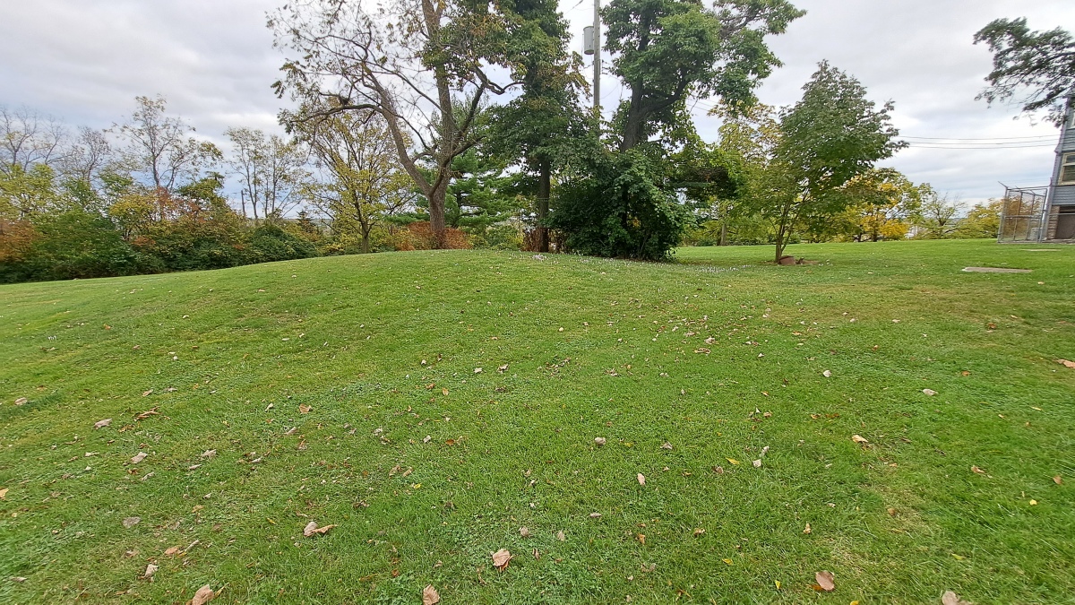
Mathew Mound submitted by stonetracker on 23rd Oct 2023. Reasonably (although not 100 %) sure this is the mound, as it conforms to the description and there is no other obvious candidate in the vicinity.
(View photo, vote or add a comment)
Log Text: Visited in late Oct 2023. This is very likely the location of the mound, as it matches the description and there are no other obvious candidates in the immediate area.
It is just north of the main administrative building in the Landmark Memorial Gardens, adjacent to a parking lot.
Norwood Mound
Date Added: 31st Oct 2023
Site Type: Artificial Mound
Country: United States (Great Lakes Midwest)
Visited: Yes. My rating: Condition 4 Ambience 4 Access 5

Norwood Mound submitted by stonetracker on 23rd Feb 2023. Creative Commons photo of mound
(View photo, vote or add a comment)
Log Text: Visited late Oct 2023. In a city park and publicly accessible with some parking. Mound is in good condition.
Luthor List Mound
Date Added: 23rd Feb 2023
Site Type: Artificial Mound
Country: United States (Great Lakes Midwest)
Visited: Yes on 1st Apr 2021. My rating: Condition 3 Ambience 4 Access 5
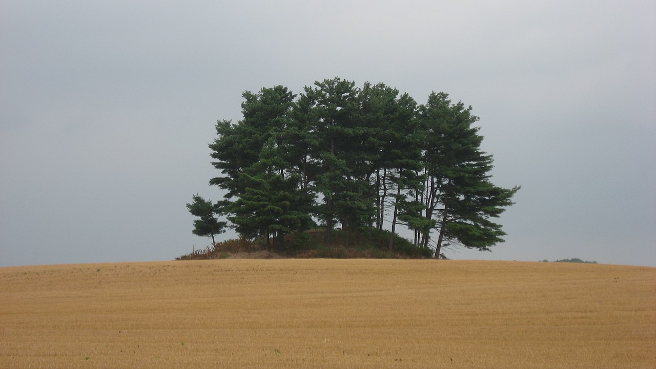
Luthor List Mound submitted by stonetracker on 23rd Feb 2023. Creative Commons photo from 2010. The mound is in a private field but easily viewable at distance from several streetside locations.
(View photo, vote or add a comment)
Log Text: Regarding accessibility, the mound is now protected on a property known as the Bartley Preserve (see comments). But it can be easily viewed from several car-friendly vantage points.
One is at the end of the Mound Trail road that heads east off of Kingston Pike (CR-9) into the Kingston Mound Manor apartment complex. An even closer access point is the SE corner of the complex's parking lot. The mound is about 100 yds from the latter spot.
Calvary Cemetery Hilltop Enclosure
Date Added: 1st Mar 2023
Site Type: Hillfort
Country: United States (Great Lakes Midwest)
Visited: Yes on 1st Apr 2021. My rating: Condition 1 Ambience 3 Access 1
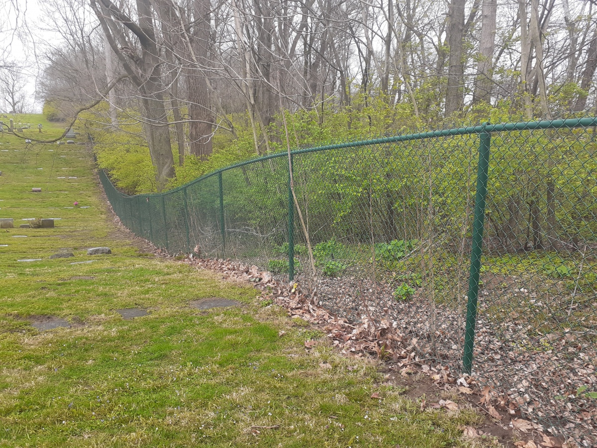
Calvary Cemetery Hilltop Enclosure submitted by stonetracker on 1st Mar 2023. My photo from April 2022 of roughly the same area as the 1895 gully shot. The enclosure wall, if it exists, would be to the right of the fence in heavy brush on Carillon Historical Park property.
(View photo, vote or add a comment)
Log Text: Access to both the cemetery and Carillon Historical Park is open to the public. There is a very steep trail from CHP to nearly the top of the bluff, but if there are any remains of the wall they are in a heavily overgrown, trail-less area along a ravine. It may be easier to spot in winter with less vegetation.
Rentschler Park Hilltop Enclosure
Date Added: 2nd Mar 2023
Site Type: Hillfort
Country: United States (Great Lakes Midwest)
Visited: Yes on 1st Apr 2021. My rating: Condition 2 Ambience 4 Access 2

Rentschler Park Hilltop Enclosure submitted by stonetracker on 1st Mar 2023. A colorized version of Squier and Davis's map. A detail of the southern gateway is shown on the left side of the image.
Image Credit: ScienceViews.com
(View photo, vote or add a comment)
Log Text: The site is in a park (Rentschler Forest MetroPark) and open to the public. There are two parking areas: one on the south side and one on the north side near the river. I opted to walk in from the south side. Parking is available in a lot at the end of a side street off of Rentschler Estates Drive. Signage refers to the site as "Line Hill Mound." The gateway is slightly over 0.5 mile away on a flat, easy trail (Mound Trail) which can get muddy so boots are advised in rainy weather. See picture post for a map of the trail system.
I did not check the northern entrance (Reigart Rd) and trail system, but it may be an easier way to explore those parts of the enclosure near the Great Miami River.
River View Cemetery Mounds
Date Added: 31st Oct 2023
Site Type: Artificial Mound
Country: United States (Great Lakes Midwest)
Visited: Yes. My rating: Condition 3 Ambience 4 Access 5
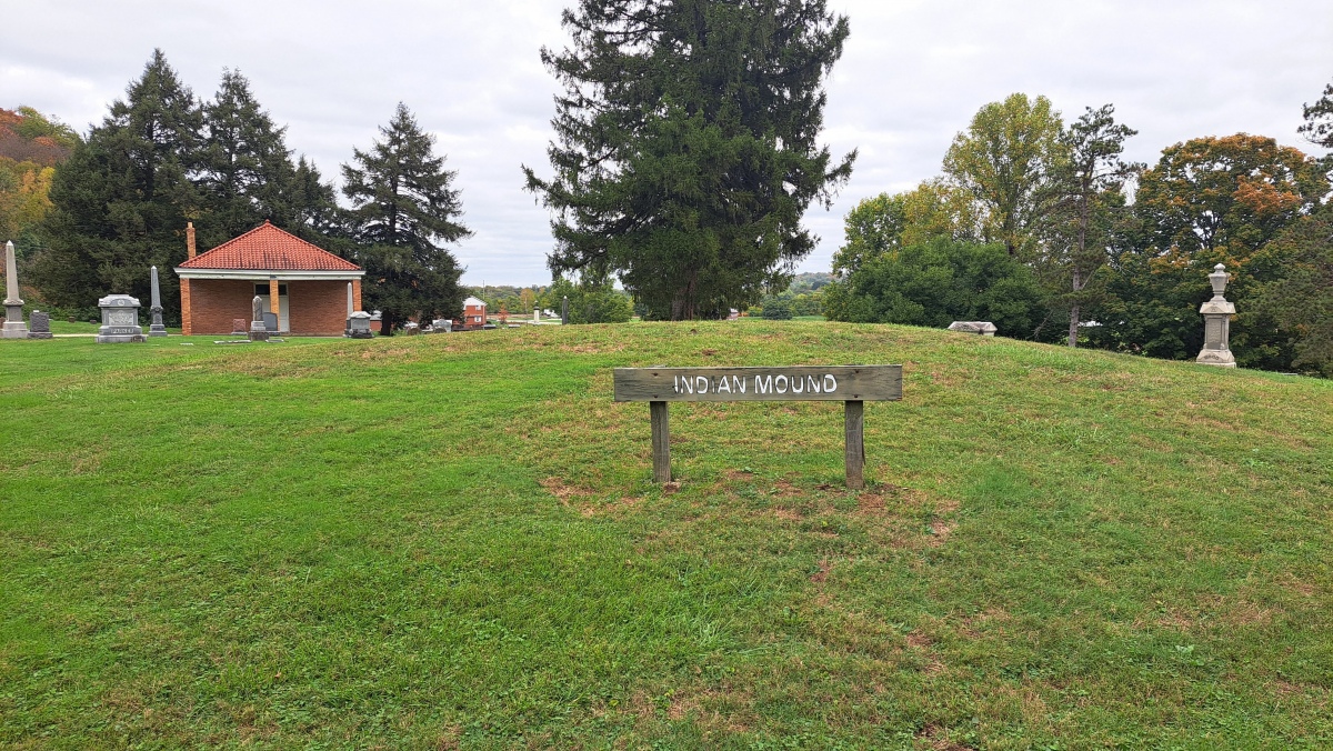
River View Cemetery Mounds submitted by stonetracker on 22nd Oct 2023. Main mound with signage.
(View photo, vote or add a comment)
Log Text: Visited late Oct 2023. Main mound easily accessible in a traffic circle about 200 yds past the cemetery entrance. I was unable to positively locate the other mound (Lochry Massacre Mound) although I did locate the monument commemorating that historical event.
Mounds (Indiana) - Great Mound
Date Added: 31st Oct 2023
Site Type: Henge
Country: United States (Great Lakes Midwest)
Visited: Yes. My rating: Condition 4 Ambience 5 Access 3
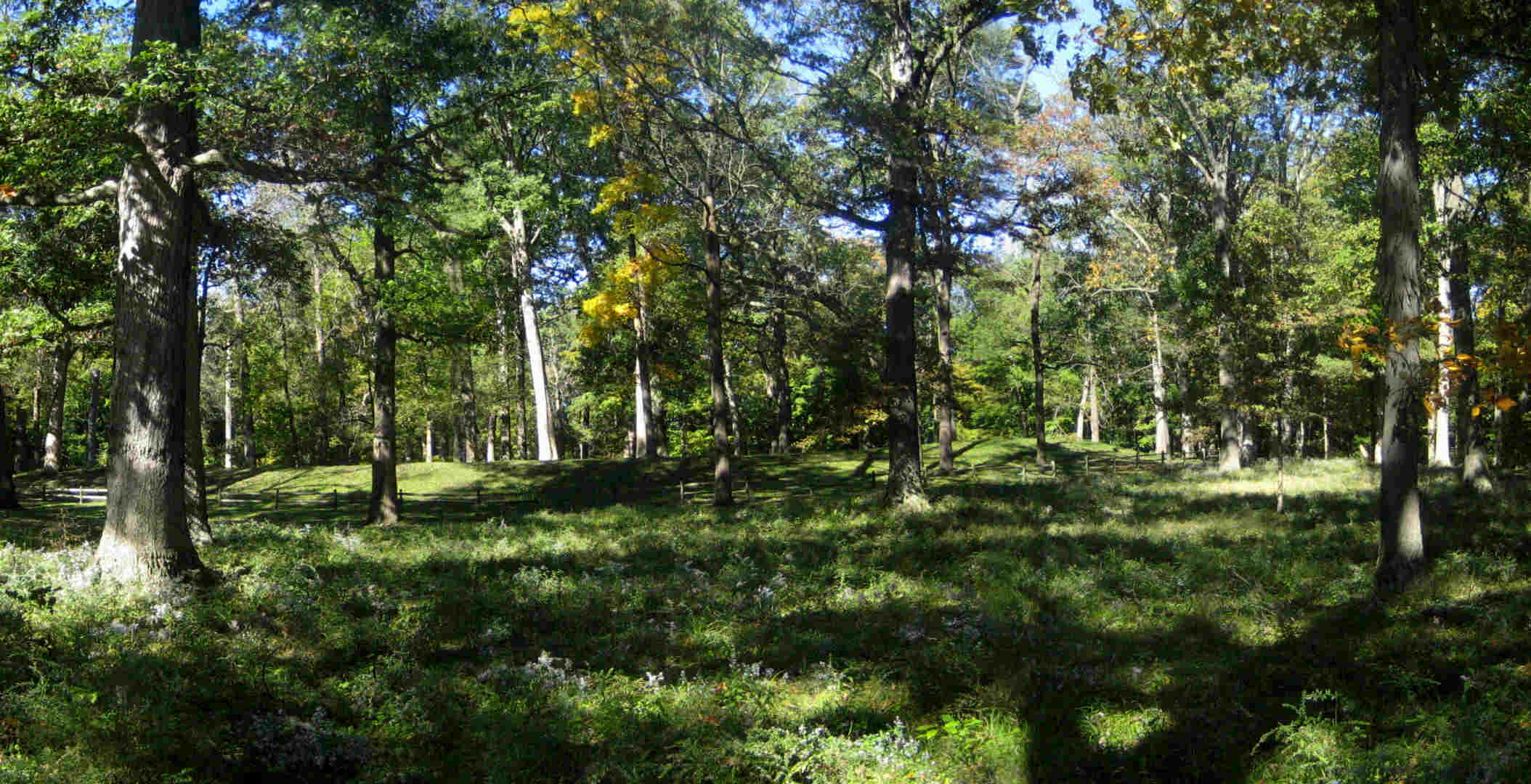
Mounds (Indiana) - Great Mound submitted by bat400 on 22nd Oct 2006. Mounds - The Great Mound.
View from the east with wild asters, the last flower of the season. The outer embankment wall prevents an outside viewer from seeing the central platform within. The exceptions are three dips in the embankment allowing a line of sight to the centers of three smaller earthwork enclosures surrounding the Great Mound.
Photo: bat400 Oct 2006.
(View photo, vote or add a comment)
Log Text: Visited late Oct 2023. This earthwork remains relatively unchanged since the original description was written. See my comments for changes that have taken place and some clarifications.
Mounds (Indiana) - Earthwork B
Date Added: 31st Oct 2023
Site Type: Misc. Earthwork
Country: United States (Great Lakes Midwest)
Visited: Yes. My rating: Condition 2 Ambience 4 Access 3
Mounds (Indiana) - Earthwork B submitted by bat400 on 23rd Oct 2006. Mounds - Earthwork B.
The earthwork is oval, with an "entrance" on each end, and very small, only 8-9 feet long. It is in the immediate foreground, only an indentation. The Great Mound can be seen in the background, behind the rail fence.
Photo: bat400 Oct 2006.
(View photo, vote or add a comment)
Log Text: Visited in late Oct 2023. Just SE of the Great Mound and a 1/4 to 1/2 mile walk via paved trail from the visitor's center.
Mounds (Indiana) - Fiddleback Mound
Date Added: 31st Oct 2023
Site Type: Misc. Earthwork
Country: United States (Great Lakes Midwest)
Visited: Yes. My rating: Condition 3 Ambience 4 Access 3
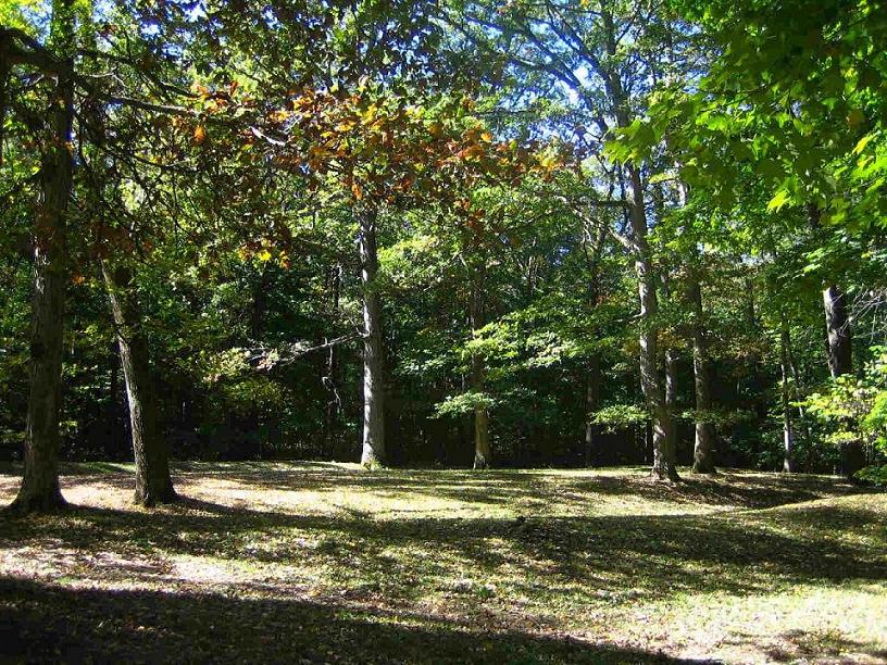
Mounds (Indiana) - Fiddleback Mound submitted by bat400 on 23rd Oct 2006. Mounds - Fiddleback Enclosure
The enclosure is oblong with a constricted middle; it's difficult to see from a single observation point on the ground. The summer solstice sunset falls beyond this enclosure when viewed from the center of the Great Mound.
Photo: bat400 Oct 2006.
(View photo, vote or add a comment)
Log Text: Visited in late Oct 2023. Ditch, embankment, and middle "pinch points" clearly visible. The earthwork is just to the west of the Great Mound and easily accessed via trail.
Mounds State Park (Indiana) - Earthwork D
Date Added: 31st Oct 2023
Site Type: Misc. Earthwork
Country: United States (Great Lakes Midwest)
Visited: Yes. My rating: Condition 3 Ambience 3 Access 3

Mounds (Indiana) - Earthwork D submitted by bat400 on 23rd Oct 2006. Mounds - Earthwork D.
"Lost" until 1988 when underbrush was removed from the site. Woods now block a clear view between the Great Mound and the center of this smaller, now shallow earthwork. The winter solstice sunset falls beyond the center of this enclosure when viewed from the center of the Great Mound. The forest debris slowly filled in the ditch within the outer embankment ring.
Photo: bat400 Oct 2006.
(View photo, vote or add a comment)
Log Text: Visited in late Oct 2023. This is ~ 150 yds or so southwest of the Great Mound, about 100 ft NE off of a side trail. Requires a bit more walking than the other earthworks closer to the Great Mound.
Mounds (Indiana) - Circle Mound
Date Added: 31st Oct 2023
Site Type: Misc. Earthwork
Country: United States (Great Lakes Midwest)
Visited: Yes. My rating: Condition 4 Ambience 4 Access 4

Mounds (Indiana) - Circle Mound submitted by bat400 on 23rd Oct 2006. Mounds - Circle Mound Enclosure
A stitched photo. The viewer is standing before the entrance, looking due west, into the enclosure.
Photo: bat400 Oct 2006.
(View photo, vote or add a comment)
Log Text: Visited in late Oct 2023. There is parking nearby at the Woodland Shelter (see park map) and a short walk across a mowed field to the site.
Windsor Mound
Date Added: 31st Oct 2023
Site Type: Artificial Mound
Country: United States (Great Lakes Midwest)
Visited: Yes. My rating: Ambience 3
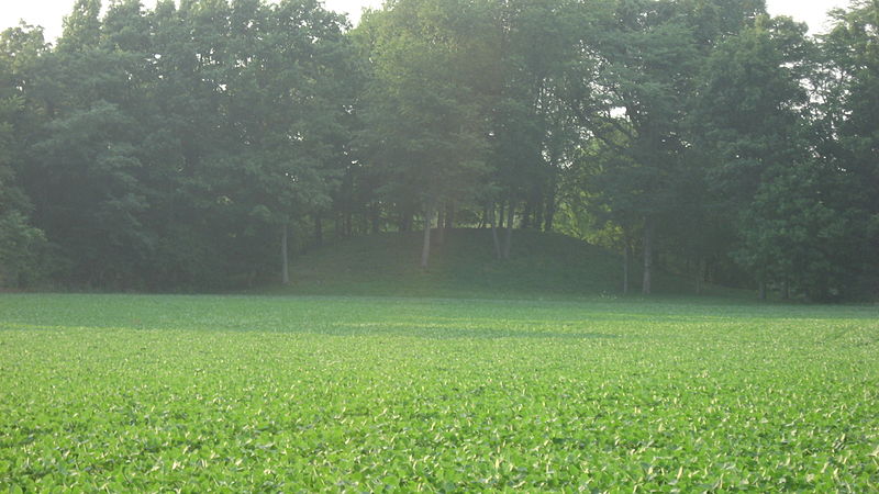
Windsor Mound submitted by bat400_photo on 15th Jul 2018. A view of Windsor Mound from a county road to the south.
"Southern side of the Windsor Mound, located off Windsor Road south of Parker City in Stoney Creek Township, Randolph County, Indiana, United States. Built by the prehistoric Adena culture, it is listed on the National Register of Historic Places."
"Date Taken on 11 July 2011"
"Source Own work"
"Author Nyttend"
"I, the copyright holder of this work, release this work into the public domain. This applies worldwide.
In...
(View photo, vote or add a comment)
Log Text: Visited in late Oct 2023. The mound is on private land (no access) in a wooded area at the rear of a cultivated field, approximately 200-300 yds north of the road. There are no parking pulloffs, but it is in a relatively unpopulated area with no traffic.
Chrysler Enclosure
Date Added: 31st Oct 2023
Site Type: Henge
Country: United States (Great Lakes Midwest)
Visited: Yes. My rating: Condition 3 Ambience 3 Access 5

Chrysler Enclosure submitted by bat400 on 15th Jan 2007. Chrysler Enclosure, Henry County, IN.
Circular Earthwork Enclosure.
An earthen ring thrown up on the outside of a circular ditch, about 30 ft dia. The ditch is broken by an entry way sited to align the center of the enclosure with the winter solstice sunrise.
Photo by bat400 Oct 2006.
(View photo, vote or add a comment)
Log Text: Visited late Oct 2023. Fairly well preserved earthwork in a traffic circle next to a public school. Lots of parking nearby in a town park, easy access.
Cambridge City Henge Complex
Date Added: 31st Oct 2023
Site Type: Henge
Country: United States (Great Lakes Midwest)
Visited: Yes
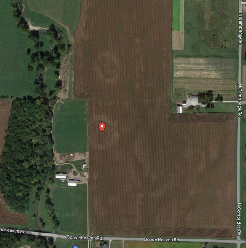
Cambridge City Henge Complex submitted by stonetracker on 30th Oct 2023. A Google Maps satellite view of the two henges. The southern henge's center is marked with a colored pin.
(View photo, vote or add a comment)
Log Text: In a late Oct 2023 visit I was unable to spot the henges at either the stated location or in the general vicinity, which is in a cultivated field on private property approximately 200-300 yds north of Goose Heaven Rd near the junction of N. Cambridge Rd. It has either eroded away to the point of no return or I was in a bad viewing spot.
Update: Later, I did find a satellite view of the site from Google Maps that clearly shows both henges (see photos section). So it's likely that they are very low to the ground and can only be seen from above.
Reily Cemetery Mound
Date Added: 31st Oct 2023
Site Type: Artificial Mound
Country: United States (Great Lakes Midwest)
Visited: Yes. My rating: Condition 3 Ambience 4 Access 4
Reily Cemetery Mound submitted by bat400 on 9th Oct 2006. There seems to be no record on an excavation of this mound. With the Reily village cemetery created around it, it has been protected, at what is believed to have been its original size and height.
(View photo, vote or add a comment)
Log Text: Visited late Oct 2023. Site is located as described, still in good condition.
Hodgen's Cemetery Mound
Date Added: 25th Nov 2023
Site Type: Artificial Mound
Country: United States (Great Lakes Midwest)
Visited: Would like to visit
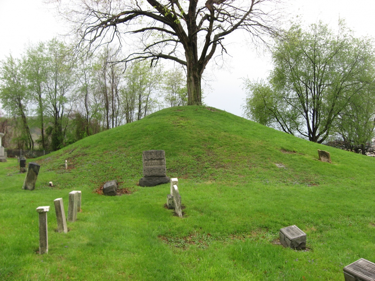
Hodgen's Cemetery Mound submitted by AKFisher on 20th Oct 2023. Hodgen's Cemetery Mound in Tiltonsville, Ohio. It is an Adena burial mound generally dated to 500 BC-AD 500. In the mid-1800s locals started using the mound as a cemetery, which saved the mound from excavations. Photo courtesy Dr Greg Little, author of the Illustrated Encyclopedia of Native American Indian Mounds & Earthworks (2016).
(View photo, vote or add a comment)
New Castle Complex
Date Added: 4th Dec 2023
Site Type: Henge
Country: United States (Great Lakes Midwest)
Visited: Yes. My rating: Condition 2 Ambience 2 Access 3
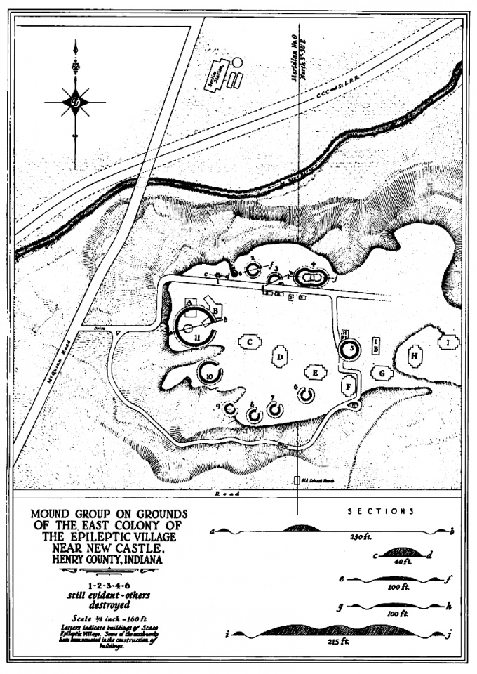
New Castle Complex submitted by AKFisher on 28th Aug 2023. 1937 survey of the New Castle Earthworks and mounds at New Castle, Indiana. There were 9 circular or C-shaped earthworks that had outer earthen walls with inner moats. There were 4 mounds and an odd ovoid earthwork enclosure with an inner moat with three large mounds inside the enclosure. Photo courtesy Dr Greg Little, author of the Illustrated Encyclopedia of Native American Indian Mounds & Earthworks (2016).
(View photo, vote or add a comment)
Log Text: Parking is in a lot on Route 103 south of the Little Blue River just across from the old paved hospital access road, now abandoned and gated, but open to hiking. The grounds comprising the complex are now owned by the Wilbur Wright Fish and Wildlife Area. The old paved hospital road leads to the section containing sites 1-4 and there is a side trail presumably leading south and east to what's left of the remaining sites which I did not try to explore.
In general, anything off of the hospital access road was extremely overgrown in October 2023. I was unable to find sites 2-4, and may only have found a part of the mound at site 1. The only time to find anything here may be in winter when the leaves are off the trees as there are no obvious trails and bushwhacking is required.
Cutler Mound Group
Date Added: 27th Jul 2024
Site Type: Artificial Mound
Country: United States (Great Lakes Midwest)
Visited: Yes on 1st Jul 2024. My rating: Condition 3 Ambience 3 Access 4
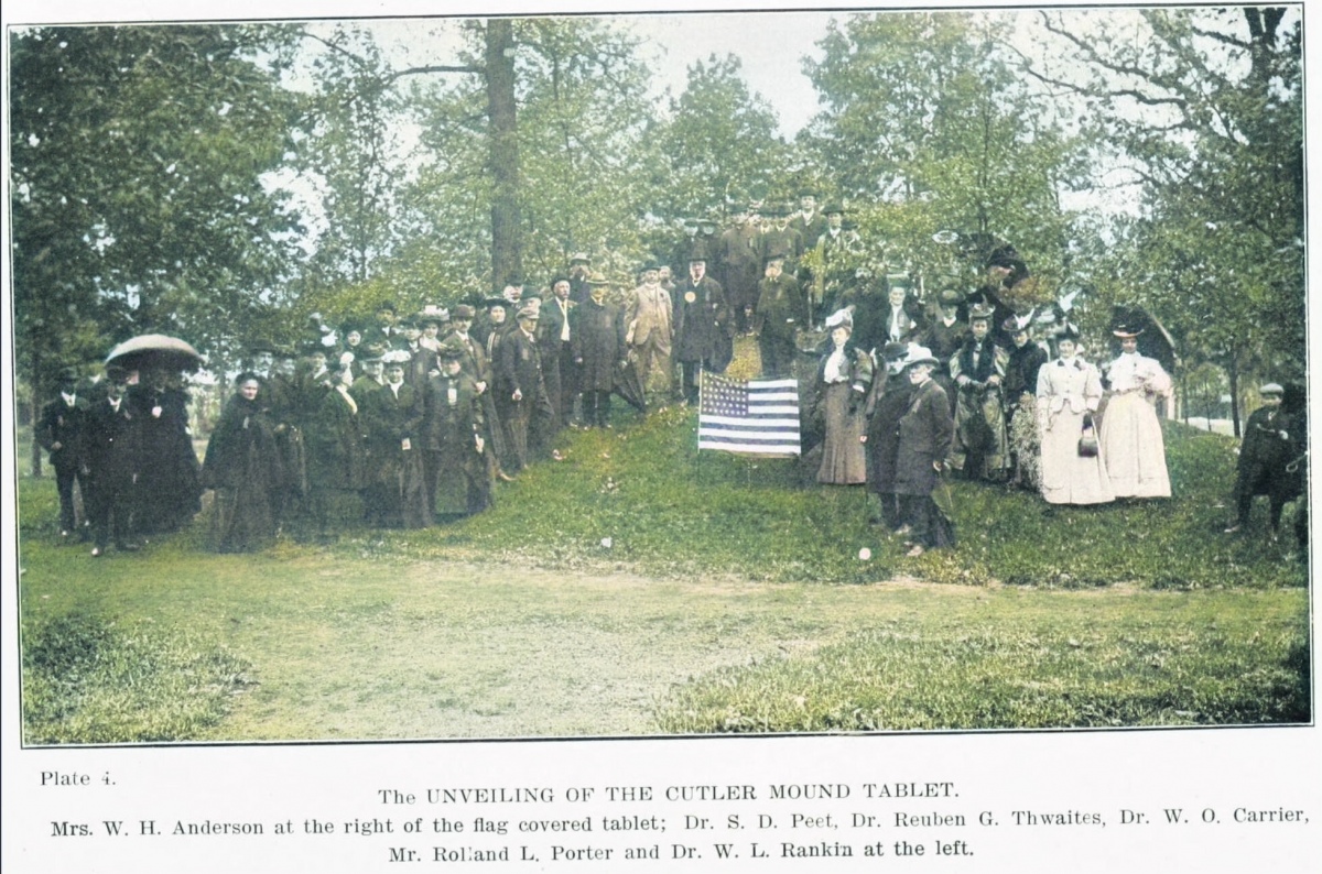
Cutler Mound Group submitted by AKFisher on 14th Oct 2023. Ceremony at the Cutler Mound where the Waukesha, Wisconsin Women's Club placed a bronze marker at the mound in 1906. The city had 55 mounds and the county had 411 mounds. Photo courtesy Dr Greg Little, author of the Illustrated Encyclopedia of Native American Indian Mounds & Earthworks (2016).
(View photo, vote or add a comment)
Log Text: Public parking is available in a lot next to the Waukesha Public Library near the corner of Maple and West Park Ave. The 3 mounds are maybe a 200 yd easy walk north over a manicured lawn area and obvious.
The site is as described, with a 7-8 foot high conical mound flanked by two smaller ones. Orange cones and "Keep Off" signs are in place to discourage people from walking on the mounds. Not aesthetic but needed in my opinion. The mounds are also covered with higher vegetation than the surrounding mowed lawn to prevent further erosion.
Wyalusing Mounds
Date Added: 28th Jul 2024
Site Type: Artificial Mound
Country: United States (Great Lakes Midwest)
Visited: Yes on 1st Jul 2024. My rating: Condition 3 Ambience 4 Access 3
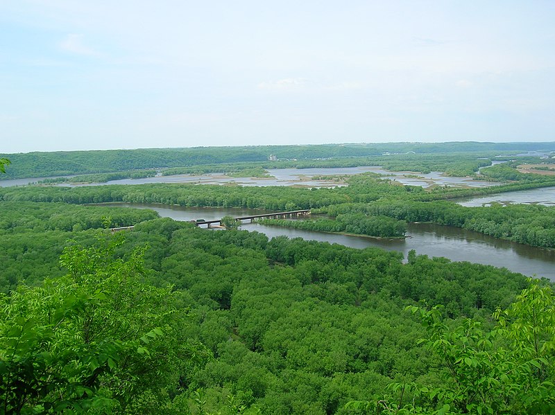
Wyalusing Mounds submitted by AKFisher on 9th Sep 2023. The Wisconsin River delta into the Mississippi River taken at Wyalusing State Park in Wisconsin. The Wisconsin flows from the near right to the Mississippi River. The Mississippi River flows from the right to the left. Iowa is visible in the distance on the other side of the Mississippi River, & Prairie du Chien is just out of view to the right. Photo credit: Wiki (Cindy-Flickr).
(View photo, vote or add a comment)
Log Text: There are 4-5 relatively accessible effigy mound groups according to the Wisconsin Mounds site. I was able to view several of them. As with most effigy mound sites, viewing conditions range from mowed and in good condition to either completely overgrown or eroded to the point of near invisibility. Even the best effigy mounds are difficult to photograph. I've provided some still shots or videos. Aerial LiDAR views frankly show these mounds better than any on the ground method so I hope to add those.
I was unable to access the Indoor Group Camp and Homestead Camp mound groups. They appear to require bushwhacks and both access points into the forest were occupied by campers.
