
Contributory members are able to log private notes and comments about each site
Sites MarkJ99 has logged. View this log as a table or view the most recent logs from everyone
Chlenry
Trip No.4 Entry No.5 Date Added: 9th Sep 2026
Site Type: Barrow Cemetery
Country: Scotland (Dumfries and Galloway)
Visited: Yes on 31st Aug 2026. My rating: Condition 1 Ambience 3 Access 3
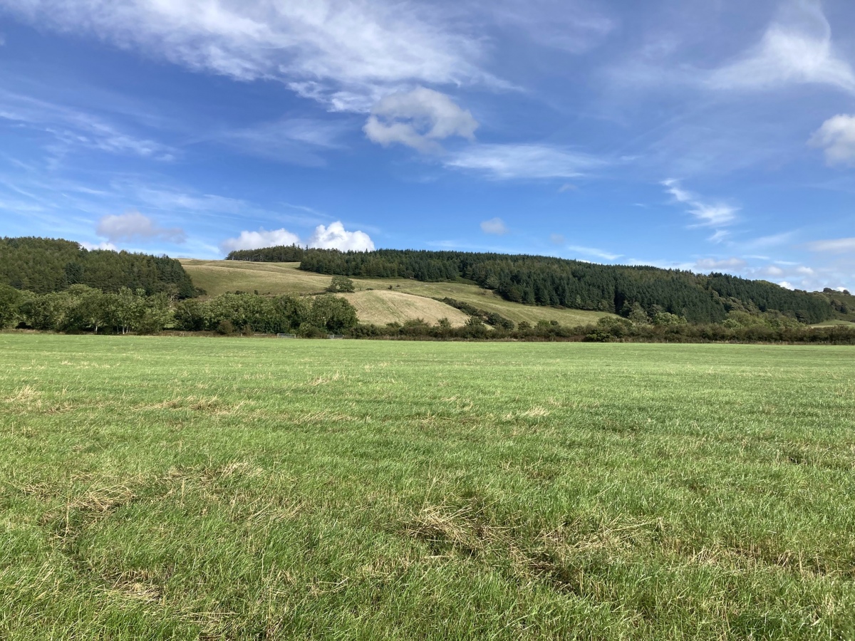
Chlenry submitted by markj99 on 9th Sep 2026. Chlenry Cairn Cemetery viewed from WSW. (31.08.26)
(View photo, vote or add a comment)
Log Text: Chlenry Cairn Cemetery is located in an arable field which is often in crop. I was able to access the site because both fields on my route had recently been harvested. In any case, there is really nothing to see so I wouldn't recommend a visit.
Kensalyre Stone
Date Added: 28th Aug 2026
Site Type: Standing Stone (Menhir)
Country: Scotland (Isle of Skye)
Visited: Yes on 9th Aug 2011. My rating: Condition 3 Ambience 4 Access 4

Kensalyre Stone submitted by Creative Commons on 14th Apr 2010. Not as imposing as the two in Kensaleyre, the stone is much larger. This view is looking back towards Little Loch Snizort
Copyright John Allan and licensed for reuse under the Creative Commons Licence.
(View photo, vote or add a comment)
Log Text: There is a c. 3.5 foot stone in moorland around 50 feet SE of Kensaleyre Cairns, a pair of cairns on the E edge of the A87 to Portree. It seems probable that this stone had a relationship to the nearby cairns. It is listed under Canmore ID 11325 along with Kensaleyre Cairns.
Cults Loch Settlement
Trip No.4 Entry No.4 Date Added: 27th Aug 2026
Site Type: Ancient Village or Settlement
Country: Scotland (Dumfries and Galloway)
Visited: Yes on 22nd Aug 2026. My rating: Condition 1 Ambience 4 Access 3
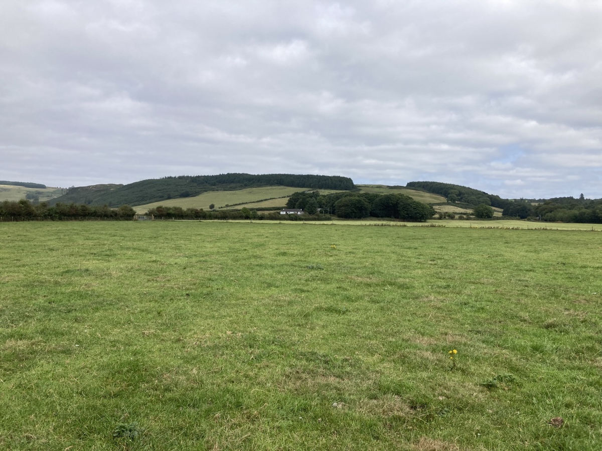
Cults Loch Settlement submitted by markj99 on 26th Aug 2026. Cults Loch Settlement viewed from S. (22.08.26)
(View photo, vote or add a comment)
Log Text: I accessed Cults Loch Settlement via a recently harvested field adjacent to the minor road from Castle Kennedy to New Luce. There is room to park carefully at a gateway in the field. Walk SE across the field for c. 350 yards. Go through this gate then go through a gate on your right. Walk c. 135 on a bearing of 167°, between S & SSW. You have arrived at Cults Loch Settlement. My walking route is viewable on Cults Loch Settlement.
Cults Loch Fort
Trip No.4 Entry No.3 Date Added: 25th Aug 2026
Site Type: Promontory Fort / Cliff Castle
Country: Scotland (Dumfries and Galloway)
Visited: Yes on 19th Aug 2026. My rating: Condition 1 Ambience 4 Access 3
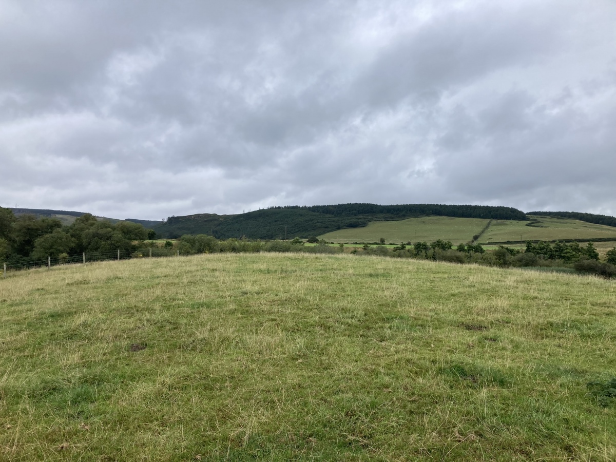
Cults Loch Fort submitted by markj99 on 25th Aug 2026. Cults Loch Fort viewed from S.(19.08.26)
(View photo, vote or add a comment)
Log Text: I have been trying to visit this site for many years, however the field was always occupied by beef cattle. The older I get the less I am willing to take any risks: I always avoid beef cattle and angry farmers! I was lucky to find the field on the W bank empty on my recent visit allowing me to make a leisurely survey of the promontory fort.
East Revoch N
Trip No.4 Entry No.1 Date Added: 8th Aug 2026
Site Type: Cairn
Country: Scotland (East Renfrewshire)
Visited: Yes on 26th Jul 2026. My rating: Condition 1 Ambience 4 Access 3
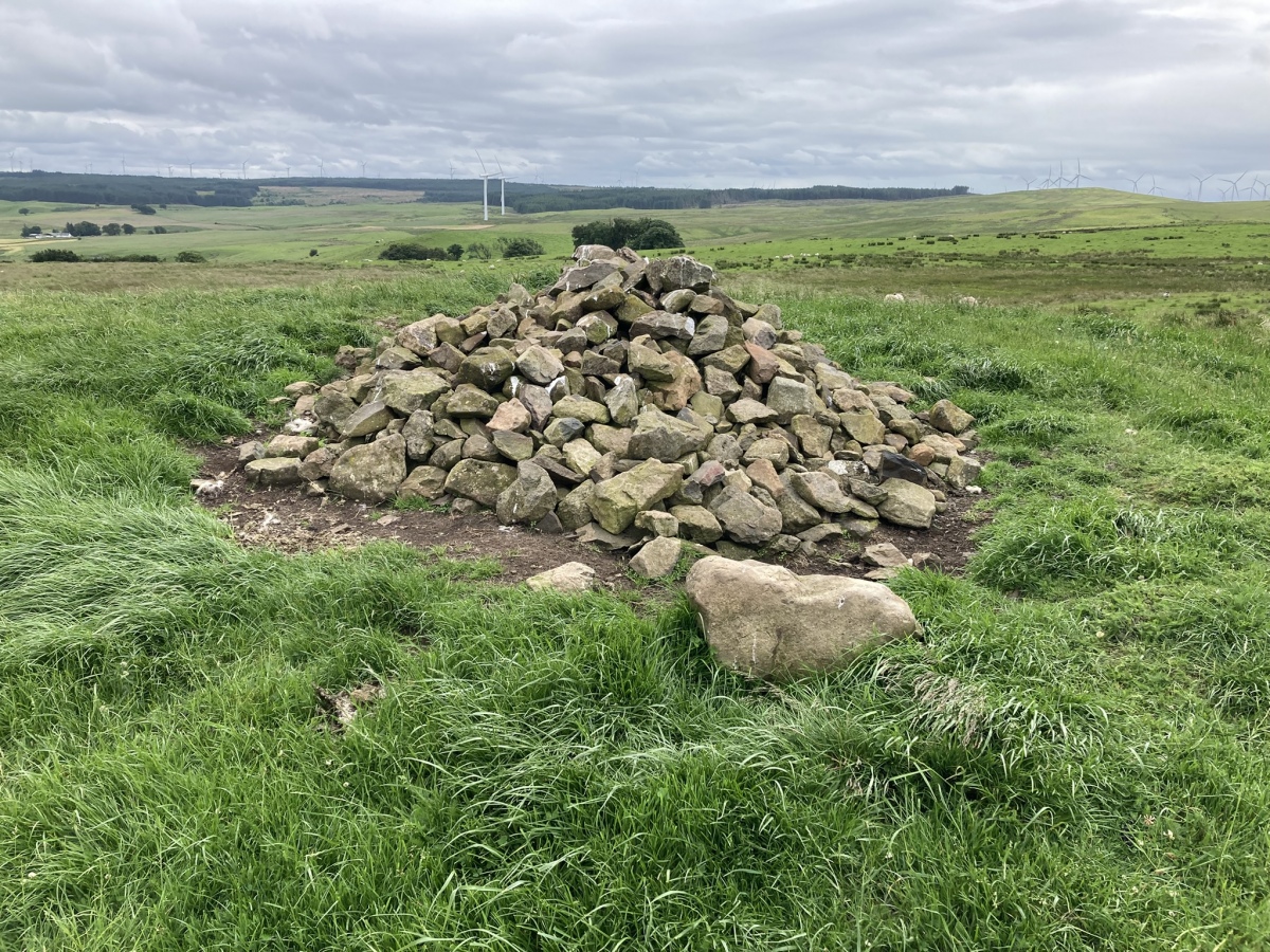
East Revoch N submitted by markj99 on 5th Aug 2026. ADMIN NOTE: GPS: 55.729, -4.2832 (nearest site: West Revoch, 1799m)
Modern Cairn in Centre of East Revoch N Cairn viewed from N.
(View photo, vote or add a comment)
Log Text: East Revoch N Cairn was dismantled in 1836 revealing several urns containing bones. The remains of this cairn is a grassy footprint on the summit of a natural knoll with a modern stone cairn c. 3 feet high constructed in the centre of the mound.
East Revoch S
Trip No.4 Entry No.2 Date Added: 8th Aug 2026
Site Type: Cairn
Country: Scotland (East Renfrewshire)
Visited: Yes on 29th Jun 2026. My rating: Condition 1 Ambience 4 Access 3
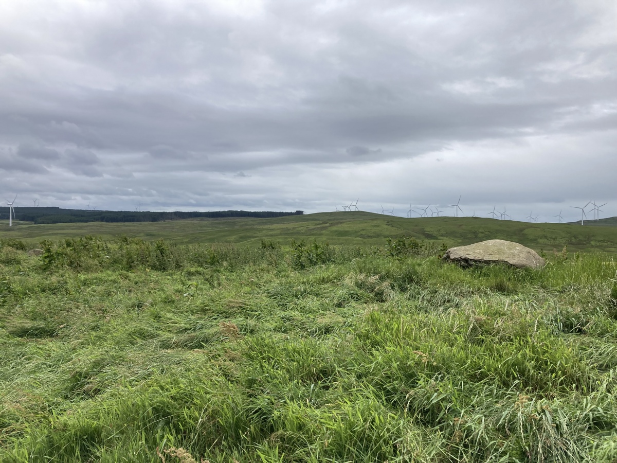
East Revoch S submitted by markj99 on 5th Aug 2026. East Revoch S Cairn viewed from N.
(View photo, vote or add a comment)
Log Text: East Revoch S Cairn has been stripped of virtually all its stones, surviving as a rough grassy platform on the margin of a field. Field clearance stones had been deposited on the cairn though only one large boulder can be seen on the NW perimeter.
Gidleigh Common Cairns
Date Added: 17th Apr 2026
Site Type: Cairn
Country: England (Devon)
Visited: Yes on 1st Apr 2026. My rating: Condition 2 Ambience 4 Access 4
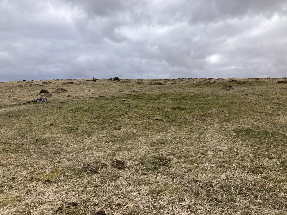
Gidleigh Common Cairns submitted by markj99 on 17th Apr 2026. Gidleigh Common N Cairn viewed from N.
(View photo, vote or add a comment)
Log Text: I took a short detour to look for Gidleigh Common Cairns before visiting Scorhill Stone Circle. The low grass circles stood out, green islands in brown moorland. The N cairn has been entirely robbed of stones but there are several upright stones on the S Arc of the S cairn, said to be remnants of an inner stone ring by Two round cairns 400m north west of Scorhill Farm (Historic England 1018908). Further details of the cairns are available on the Historic England listing.
Bennet's Cross
Date Added: 16th Apr 2026
Site Type: Ancient Cross
Country: England (Devon)
Visited: Yes on 1st Apr 2026. My rating: Condition 4 Ambience 4 Access 4
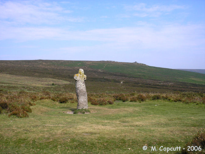
Bennet's Cross submitted by thecaptain on 2nd Aug 2006. This is a lovely cross, believed to have been carved from a prehistoric menhir.
It stands about 1.7 metres tall, and is just beside the B3212 road near its high point as it crosses the moor between Moretonhampstead and Postbridge.
(View photo, vote or add a comment)
Log Text: There is a dedicated car park off the B3212 c. 40 yards SW of Bennet's Cross. It is the wonkiest cross I have ever seen, roughly hewn from an ancient standing stone.
Marchant's Cross
Date Added: 16th Apr 2026
Site Type: Ancient Cross
Country: England (Devon)
Visited: Yes on 1st Apr 2026. My rating: Condition 3 Ambience 4 Access 5
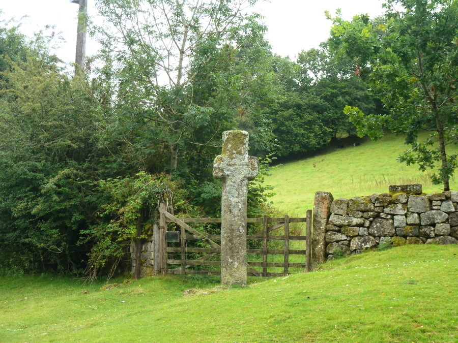
Marchant's Cross submitted by Bladup on 3rd Feb 2020. Marchant's Cross
(View photo, vote or add a comment)
Log Text: I can never resist a quick stop to record a wayside cross. There is a convenient parking spot at a cattle grid c. 20 yards N of the cross. Marchant's Cross has a hard life: it has been struck by a car at least twice in modern times.
Shaden Cross
Date Added: 16th Apr 2026
Site Type: Ancient Cross
Country: England (Devon)
Visited: Yes on 1st Apr 2026. My rating: Condition 3 Ambience 4 Access 5
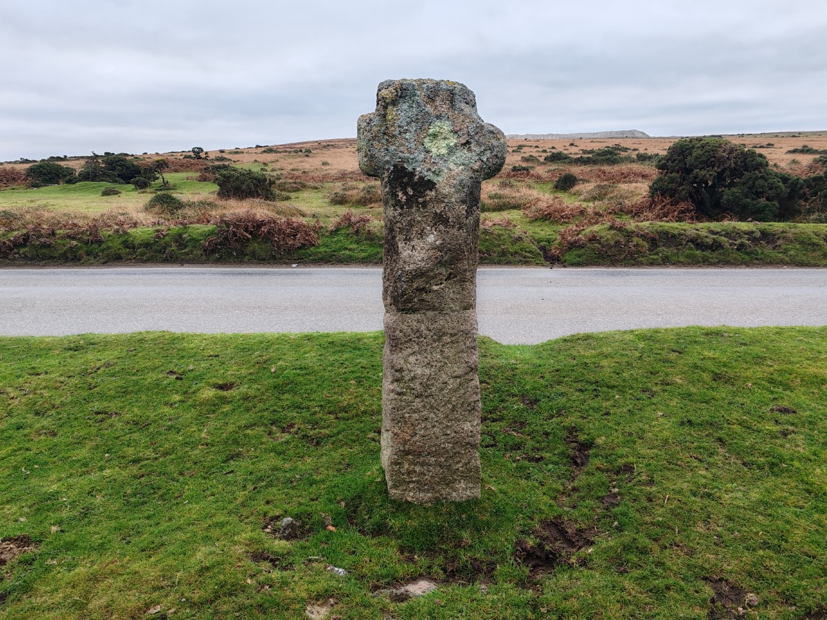
Shaden Cross submitted by Bladup on 16th Nov 2024. Shaden Cross
(View photo, vote or add a comment)
Log Text: Shaden Moor Cross was a bonus on my way to Scorhill Stone Circle. The ancient damaged cross has been re-erected on a modern shaft by the side of a lonely Dartmoor road.
Stentifords Cross
Date Added: 15th Apr 2026
Site Type: Marker Stone
Country: England (Devon)
Visited: Yes on 31st Mar 2026. My rating: Condition 3 Ambience 4 Access 4
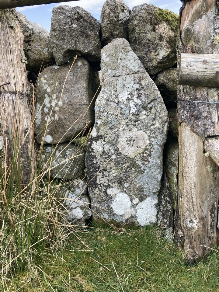
Stentifords Cross submitted by markj99 on 14th Apr 2026. Stentifords Cross viewed from SW.
(View photo, vote or add a comment)
Log Text: Stentifords Cross is hidden at the junction of 2 stone walls c. 120 yards SE of HemswothyGate Car Park. I stumbled across it on an Historic England Map Search for Foale's Arrishes Hut Circles. My walking directions are posted on the Main Site Page.
Foales Arrishes
Date Added: 14th Apr 2026
Site Type: Ancient Village or Settlement
Country: England (Devon)
Visited: Yes on 31st Mar 2026. My rating: Condition 3 Ambience 5 Access 3

Foales Arrishes submitted by AngieLake on 9th Jan 2018. Approaching Hut 1 which is easily visible now, on 8th April 2017, without the summer covering of bracken.
(View photo, vote or add a comment)
Log Text: My visit to Foales Arrishes Hut Circles was early enough to see the circles clear of vegetation. In the past I have been unconviced by hut circles on OS mapping when viewed in reality. The relatively complete hut circles on Foales Arrishes enabled me to imagine a flourishing ancient settlement. The bonus is that the site is easily accessible from Hemsworthy Gate Car Park, allowing me to make a leisurely exploration of all the structures. I have posted my walking route on the main page.
Prospidnick Menhir
Date Added: 11th Apr 2026
Site Type: Standing Stone (Menhir)
Country: England (Cornwall)
Visited: Yes on 30th Mar 2026. My rating: Condition 5 Ambience 5 Access 5
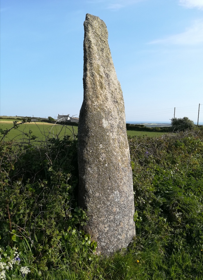
Prospidnick Menhir submitted by Bladup on 3rd Jun 2023. Prospidnick Menhir
(View photo, vote or add a comment)
Log Text: If you are driving near Helston it is a no brainer to take this 3.5 mile detour through Cornish lanes to Prospidnick Longstone on the roadside. The ancient stone slab reaches an impressive 9 feet high. There is a convenient gateway c. 20 yards NE of the stone allowing a closer inspection. My google maps route from the A394 at Helston can be viewed on Prospidnick Longstone.
Eathorne Menhir
Date Added: 11th Apr 2026
Site Type: Standing Stone (Menhir)
Country: England (Cornwall)
Visited: Yes on 30th Mar 2026. My rating: Condition 3 Ambience 4 Access 4
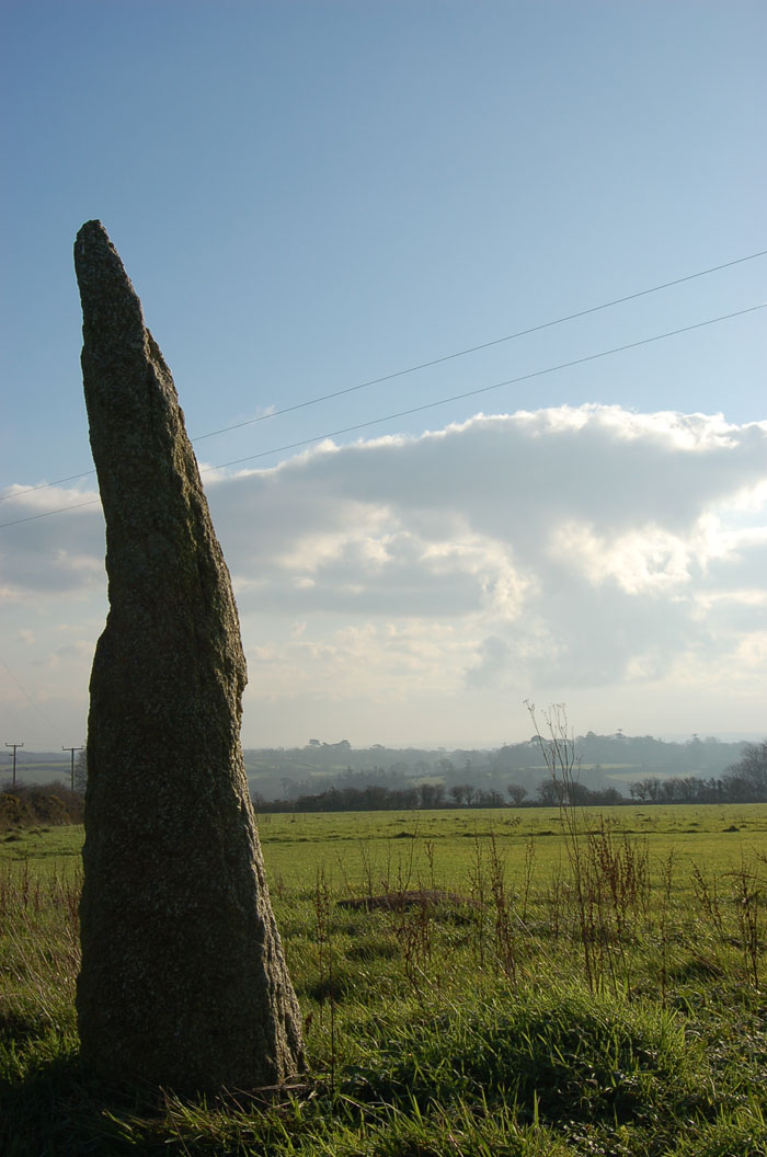
Eathorne menhir submitted by maengurta on 31st Dec 2006. Photo of menhir reinstated and looking good.
(View photo, vote or add a comment)
Log Text: Eathorne Menhir has been re-erected in a small campsite c. 50 yards NE of Eathorne Farm on a minor road between Penryn & Gweek. The new location is SW 7460 3136. The standing stone has sustained damage in its travels: the top of the stone has broken off leaving a jagged edge. Despite this the stone is still impressive reaching up to c. 8 feet.
There is room to park carefully as the road widens just beyond the gateway to the campsite.
Piskey’s Hall – The Fairy’s Fogou
Date Added: 10th Apr 2026
Site Type: Souterrain (Fogou, Earth House)
Country: England (Cornwall)
Visited: Yes on 30th Mar 2026. My rating: Condition 3 Ambience 5 Access 4
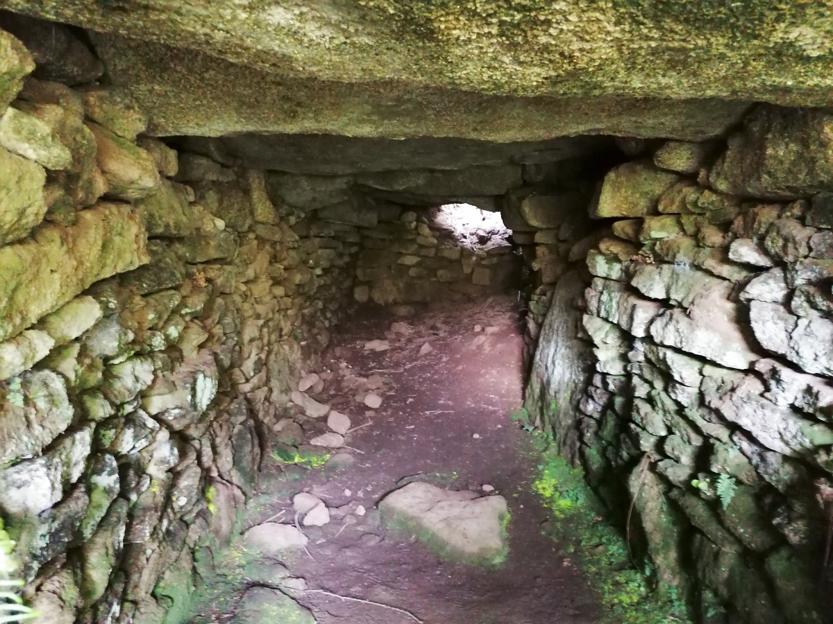
Piskey’s Hall – The Fairy’s Fogou submitted by TheCaptain on 1st Aug 2022. Yes, I have found the main structure and am able to get down into it. This one seems more like a large entrance grave than the other fogous I have seen, but who am I to argue.
(View photo, vote or add a comment)
Log Text: Piskey's Hall is buried under an earth mound covered in tangled vegetation on the S edge of a grassy field. There is a wire fence round the perimeter. The subterranean passage has a low entrance to the SW and a hole in the roof in the NE end allowing light to filter in. Once you have crawled inside, the interior is surprisingly dry and roomy.
Boskednan Menhir 2
Date Added: 10th Apr 2026
Site Type: Standing Stone (Menhir)
Country: England (Cornwall)
Visited: Yes on 29th Mar 2026. My rating: Condition 3 Ambience 4 Access 3
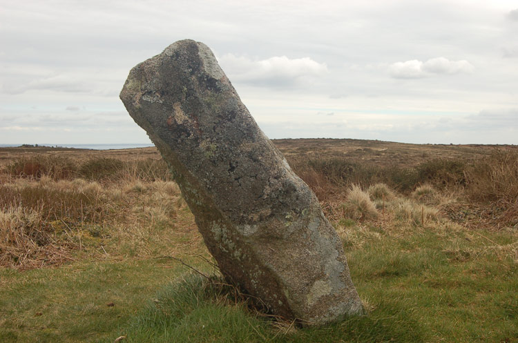
Boskednan Menhir 2 submitted by maengurta on 21st Jun 2007. Standing stone on the West Penwith moors.
(View photo, vote or add a comment)
Log Text: I found the stump of a supposed standing stone c. 60 yards NW of Boskednan Stone Circle on the path to the N Cairn. It is unimpressive in its current state. The standing stone in this site appears to be part of the ruined cairn.
Boskednan B
Date Added: 10th Apr 2026
Site Type: Cairn
Country: England (Cornwall)
Visited: Yes on 29th Mar 2026. My rating: Condition 1 Ambience 3 Access 3
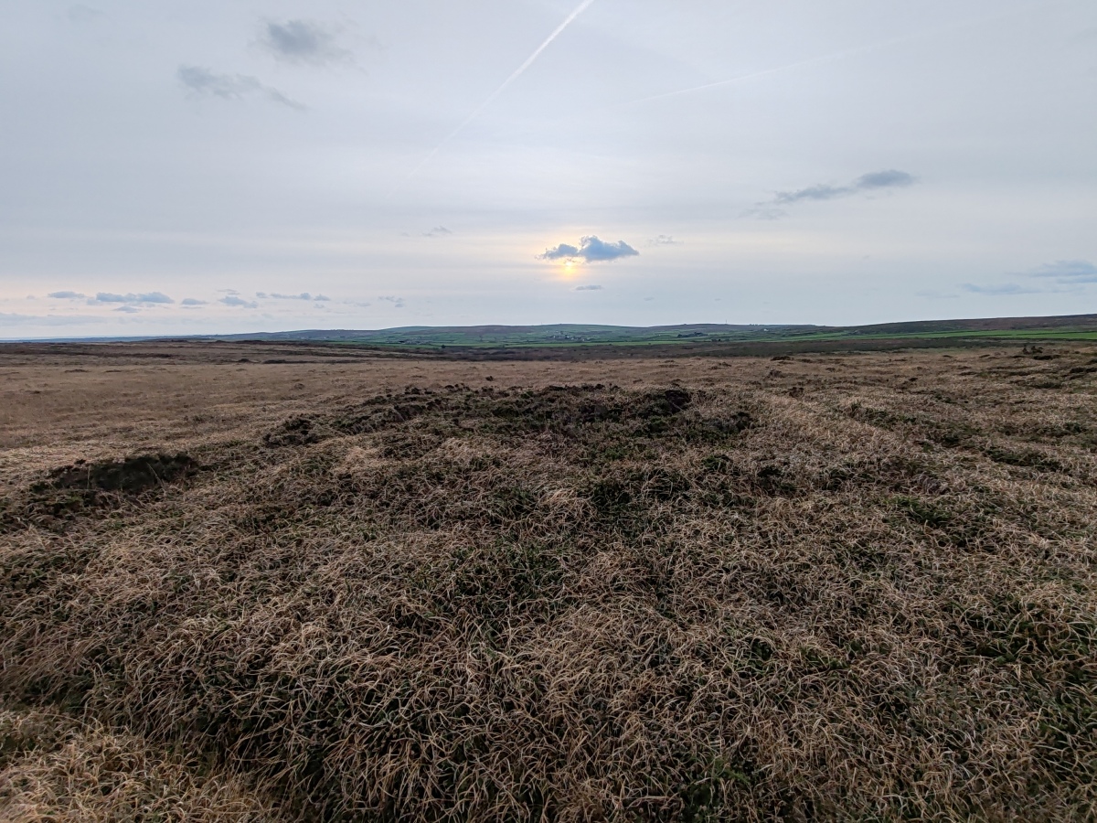
Boskednan B submitted by Bladup on 24th Nov 2024. A smaller tumulus found just to the south of the larger tumulus at SW4329435260
(View photo, vote or add a comment)
Log Text: The southern ruined barrow N of Boskednan Stone Circle has been virtually razed from the landscape. It is now only visible as a dark green patch in brown moorland. Walk c. 50 yards SSE on the path from Boskednan N Cairn A towards Boskednan Stone Circle. Boskednan N Cairn B lies c. 30 yards W of the path.
Boskednan Menhir 1
Date Added: 10th Apr 2026
Site Type: Standing Stone (Menhir)
Country: England (Cornwall)
Visited: Yes on 29th Mar 2026. My rating: Condition 2 Ambience 4 Access 4
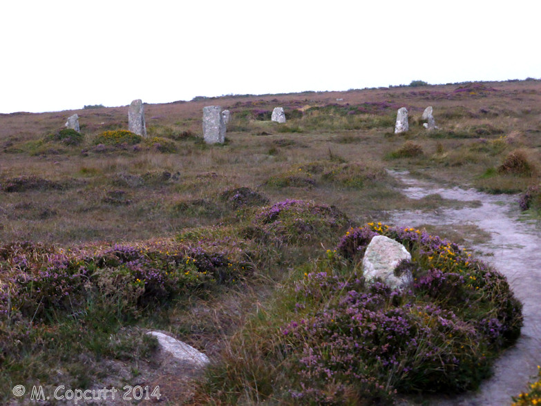
Boskednan Menhir 1 submitted by theCaptain on 14th Oct 2014. From my dim memories, I thought that the menhir was somewhere between the stone circle and the cairns along the path towards Men-an-Tol.
On the way back I notice indeed there is a stump and perhaps a fallen stone right on the pathway where I was expecting it, is it remains of a pair?
Pipers perhaps?
(View photo, vote or add a comment)
Log Text: On my previous visit to Boskednan Stone Circle I walked past this stone oblivious to its celebrity status. It is on the path to the N cairns from the circle. Having read about the stone on Historic England, I recorded the stone for posterity. It might have been a King Stone, a satellite standing stone related to Boskednan Stone Circle.
Carfury E Standing Stone
Date Added: 8th Apr 2026
Site Type: Standing Stone (Menhir)
Country: England (Cornwall)
Visited: Yes on 29th Mar 2026. My rating: Condition 4 Ambience 4 Access 4
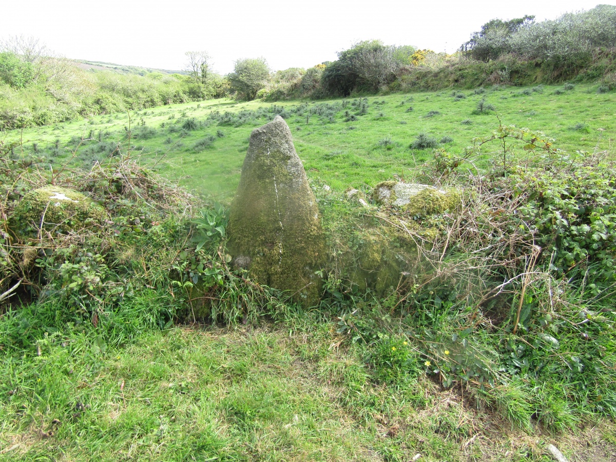
Carfury E Standing Stone submitted by markj99 on 19th Aug 2025. Carfury E Standing Stone viewed from NW.
(View photo, vote or add a comment)
Log Text: I plotted a route from this standing stone to the nearby Carfury S Standing Stone and Carfury N Standing Stone. My walking route is posted on the main page.
Carfury E Standing Stone
Trip No.1 Date Added: 8th Apr 2026
Site Type: Standing Stone (Menhir)
Country: England (Cornwall)
Visited: Yes on 2nd May 2017. My rating: Condition 4 Ambience 4 Access 4
Carfury E Standing Stone submitted by markj99 on 19th Aug 2025. Carfury E Standing Stone viewed from NW.
(View photo, vote or add a comment)
Log Text: I stumbled across this standing stone by accident when I was trying to access Carfury Standing Stone. It has been incorporated into a short ruined dyke running NE-SW. See main page for directions and walking route.