Contributory members are able to log private notes and comments about each site
Sites BrownEdger has logged. View this log as a table or view the most recent logs from everyone
Nab Head (Cheshire)
Date Added: 25th Sep 2015
Site Type: Round Barrow(s)
Country: England (Cheshire)
Visited: Would like to visit
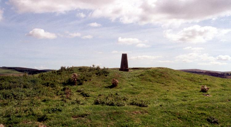
Nab Head (Cheshire) submitted by PaulM on 30th Aug 2001. NAB HEAD ROUND BARROW
NGR: SJ94017884 (Landranger map 118)
Located on top of Nab Head (hence the trig point) overlooking the east Cheshire town of Bollington. The now vandalised barrow has 360 degree views across the Cheshire Plain to the Berwyn and Clwydian Hills, across south Manchester to Lancashire and east to the foothills of the Pennines taking in Windgather Rocks, Macclesfield Forest and Croker Hill.
A visit is highly recommended.
(View photo, vote or add a comment)
Blue Boar Farm
Date Added: 25th Sep 2015
Site Type: Round Barrow(s)
Country: England (Cheshire)
Visited: Would like to visit
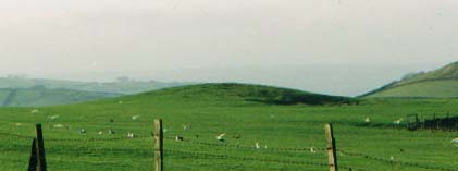
Blue Boar Farm submitted by Vicky on 15th Dec 2001. Blue Boar Farm Barrow, Rainow, near Macclesfield, Cheshire GR: SJ970763
This scheduled conical mound stands in a field opposite Blue Boar Farm and was first mentioned in the 19th century. Standing on a naturally level platform on the ridge top, this tumulus was originally around 20m in diameter but because of ploughing it is now closer to 31m by 26m. It was excavated in 1972, but sadly there are no records as to what, if anything, was found.
(View photo, vote or add a comment)
Charles Head
Date Added: 25th Sep 2015
Site Type: Round Barrow(s)
Country: England (Cheshire)
Visited: Would like to visit
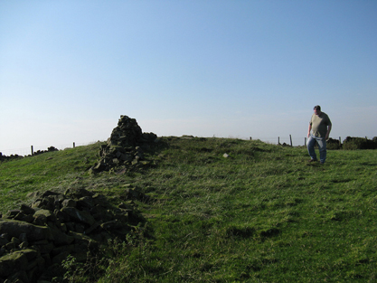
Charles Head submitted by astronomer on 30th Sep 2011. Charles Head tumulus is on private land owned by Spring Bank Farm. Following unauthorized digging some years ago and the removal of artifacts, the present landowner expressly forbids access.
We were kindly granted access and permission to take photographs only because of personal relationships with nearby landowners.
The tumulus is approximately 1m high and 12m in diameter and is crossed, E-W, by a dilapidated stone wall.
(View photo, vote or add a comment)
Further Harrop
Date Added: 25th Sep 2015
Site Type: Round Barrow(s)
Country: England (Cheshire)
Visited: Would like to visit
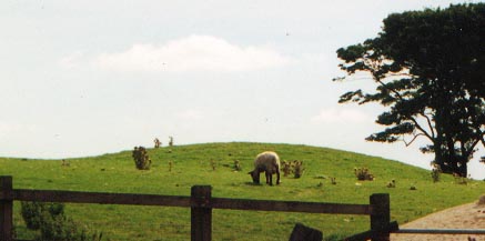
Further Harrop submitted by Vicky on 20th Sep 2001. Further Harrop barrow
Within the Peak District National Park (but still in Cheshire) this well preserved Bronze Age barrow (-SJ97157907 Landranger 118/Explorer 268/White Peak Outdoor Leisure Map) is found 4km NE of Bollington. Barnatt calls it a bowl shaped round barrow in his 1996 ‘Barrows in the Peak District’.
(View photo, vote or add a comment)
Sponds Hill S
Date Added: 25th Sep 2015
Site Type: Round Barrow(s)
Country: England (Cheshire)
Visited: Would like to visit
Sponds Hill N
Date Added: 25th Sep 2015
Site Type: Round Barrow(s)
Country: England (Cheshire)
Visited: Would like to visit

Sponds Hill N submitted by PaulM on 17th Aug 2002. Northern barrow on Sponds Hill in Cheshire. See main site entry for further details.
(View photo, vote or add a comment)
Little Low
Date Added: 25th Sep 2015
Site Type: Round Barrow(s)
Country: England (Cheshire)
Visited: Would like to visit
Yearnslow
Date Added: 25th Sep 2015
Site Type: Round Barrow(s)
Country: England (Cheshire)
Visited: Would like to visit
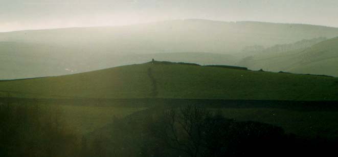
Yearnslow submitted by Vicky on 15th Dec 2001. Yearnslow, Rainow, near Macclesfield, Cheshire GR: SJ96457695
This interesting bowl-shaped mound (on the horizon in the centre of the picture) is situated on a knoll at 1175ft above sea level close to Yearnslow Farm. It was reputedly opened by some Derbyshire explorers in the 19th when some Roman coins, glass beads, and bones were found in it. Today the mound which is around 19m in diameter and just over one metre in height, is covered by ruined dry-stone walls.
(View photo, vote or add a comment)
Black Rock Farm
Date Added: 25th Sep 2015
Site Type: Round Barrow(s)
Country: England (Cheshire)
Visited: Would like to visit
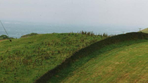
Black Rock Farm submitted by vicky on 23rd Jul 2002. The Round Barrow at Black Rock Farm, Ginclough near Rainow. See the main site entry for further details.
(View photo, vote or add a comment)
Teggs Nose Farm
Date Added: 25th Sep 2015
Site Type: Round Barrow(s)
Country: England (Cheshire)
Visited: Would like to visit
Macclesfield Common II
Date Added: 25th Sep 2015
Site Type: Round Barrow(s)
Country: England (Cheshire)
Visited: Would like to visit
Macclesfield Common I
Date Added: 25th Sep 2015
Site Type: Round Barrow(s)
Country: England (Cheshire)
Visited: Would like to visit
Hurst Low
Date Added: 12th Aug 2014
Site Type: Round Barrow(s)
Country: England (Staffordshire)
Visited: Couldn't find on 7th Apr 2013
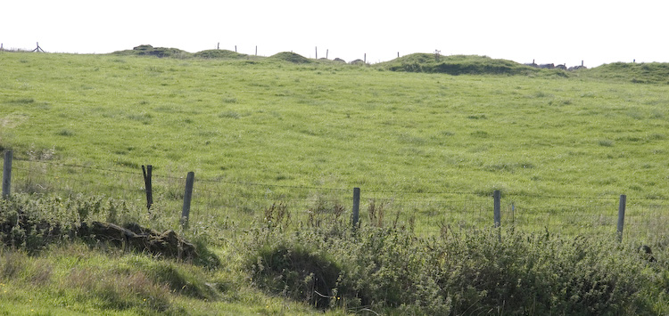
Hurst Low submitted by twentytrees on 9th Sep 2006. Marked as Tumuli on the map but this may refer to nearby Grindon Moor barrow. There appears to be numerous mounds in a line (lined up on nearby Butterton church spire?) but they are in a much denunded state, so difficult to be sure. Not scheduled.
(View photo, vote or add a comment)
Log Text: Saw a huge misshapen mound in the field containing Hurst Low but that looked more like a spoil heap or something. Large agricultural building has been erected nearby in same field too. Whole area very messy with vehicles parked in the field and bits of rusty agricultural equipment lain about. Failed to I.D. the barrow.
Clulow Cross
Date Added: 21st Aug 2011
Site Type: Round Barrow(s)
Country: England (Cheshire)
Visited: Saw from a distance on 21st Aug 2011. My rating: Condition 3 Ambience 4 Access 3
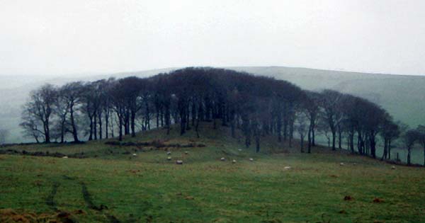
Clulow Cross submitted by vicky on 22nd Jul 2002. Clulow Cross - possibly a prehistoric round barrow surmounted by a more recent cross.
(View photo, vote or add a comment)
Log Text: None
Cock Low (Leek)
Date Added: 5th Oct 2015
Site Type: Round Barrow(s)
Country: England (Staffordshire)
Visited: Yes on 1st Mar 2012. My rating: Condition -1 Ambience 3 Access 5
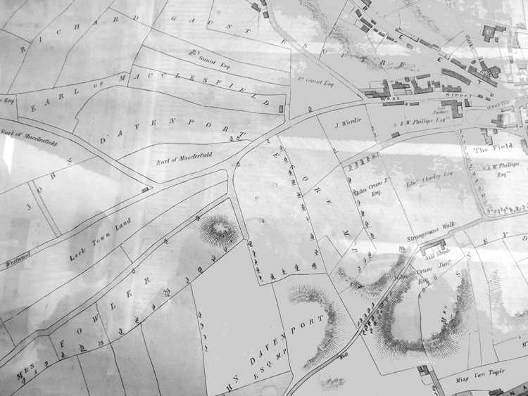
Cock Low (Leek) submitted by astronomer on 8th Mar 2015. Thanks to Leek historians, Margaret and Colin Bowyer, who kindly supplied an image of an 1838 map of Leek, it might be possible to shed some more light on Cock Low. The map clearly shows a prominent mound near what is now the playing fields at Spring Gardens. In her 1999 book, 'Leek's Forgotten Centuries', E.A Biddulph states that the burial mound, 18ft high and 120ft wide was on part of the property owned by a Mrs Watt, standing between Waterloo Rd, Messr's Broster's Mill and Spring Gardens. Sh...
(View photo, vote or add a comment)
Log Text: None
Nicholson Museum and Art Gallery
Date Added: 5th Oct 2015
Site Type: Museum
Country: England (Staffordshire)
Visited: Yes on 1st Mar 2012. My rating: Condition 4 Ambience 4 Access 5
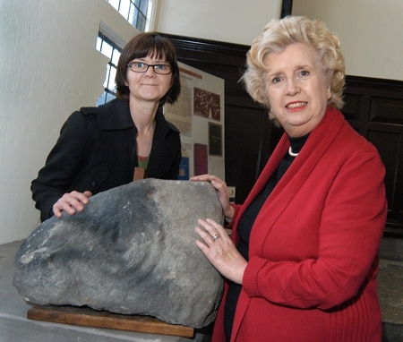
Nicholson Museum and Art Gallery submitted by Andy B on 6th Jan 2012. Neolithic cup-and-ring stone found near Alton Towers donated to Leek museum
The stone with council arts events co-ordinator Alison Thomas (left) and Council leader Sybil Ralphs.
Photo copyright Staffordshire Moorlands District Council
(View photo, vote or add a comment)
Log Text: None
Leekfrith Tumulus
Date Added: 19th Sep 2014
Site Type: Round Barrow(s)
Country: England (Staffordshire)
Visited: Yes on 16th Sep 2014. My rating: Condition 3 Ambience 4 Access 4
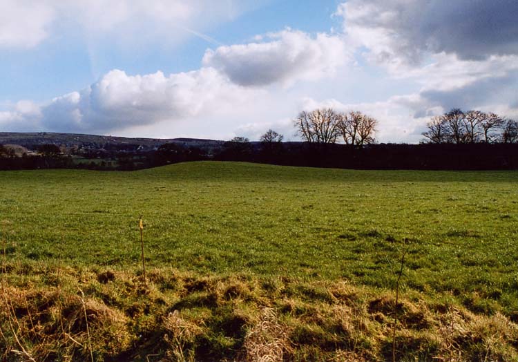
Leekfrith Tumulus submitted by Astronomer on 18th Mar 2004. A Bronze Age round barrow at Leekfrith SK003604.
(View photo, vote or add a comment)
Log Text: Unscheduled barrow. Barnatt suggested it may be a glacial mound. Staffs H.E.R. records a possible Burnt Mound nearby.
Holy Trinity Church, Eccleshall
Date Added: 7th Sep 2014
Site Type: Ancient Cross
Country: England (Staffordshire)
Visited: Yes on 28th Jul 2012. My rating: Condition 3 Ambience 3 Access 5
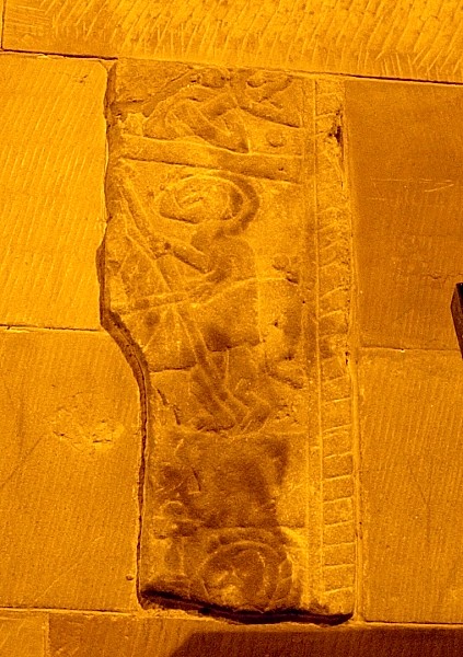
Holy Trinity Church, Eccleshall submitted by TimPrevett on 12th Sep 2005. The right hand (eastern) cross fragment in the choir vestry. Please note, the light conditions were dire, and so I have edited the photo to bring out as much detail as possible. A wheelie bin used as a tripod for this one. See main entry for detailed write up.
(View photo, vote or add a comment)
Log Text: None
Bullstones
Date Added: 7th Sep 2014
Site Type: Stone Circle
Country: England (Cheshire)
Visited: Yes on 21st Aug 2011. My rating: Condition 3 Ambience 4 Access 4
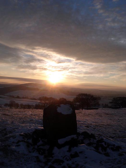
Bullstones submitted by astronomer on 22nd Dec 2010. The winter solstice sunrise is still celebrated at Bullstones as this picture, taken by writer, broadcaster and folklorist, Doug Pickford shows.
(View photo, vote or add a comment)
Log Text: None
Elkstone Barrow 2
Date Added: 7th Sep 2014
Site Type: Round Barrow(s)
Country: England (Staffordshire)
Visited: Yes on 7th Sep 2014. My rating: Condition 3 Ambience 3 Access 4
Log Text: Visible as a low, spread mound a short distance to the South of Elkstone I. The surface is fairly rough, like much of the field. The field drops away to the South of the barrow. Can be seen from Breech Road for a clearer view in profile.
Elkstone III is to the South-West of this barrow - the long quarry trench running North-South along the field has truncated its Western quadrants.
