Contributory members are able to log private notes and comments about each site
Sites Anne T has logged. View this log as a table or view the most recent logs from everyone
Neuadd-Glan-Gwy
Trip No.167 Entry No.5 Date Added: 27th Jul 2021
Site Type: Standing Stone (Menhir)
Country: Wales (Powys)
Visited: Yes on 12th Jul 2021. My rating: Condition 3 Ambience 4 Access 3
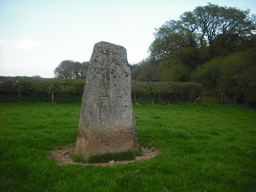
Neuadd-Glan-Gwy submitted by 4th-Eden on 20th May 2012. A stone near the Hamlet of Llanstephan, Powys.
(View photo, vote or add a comment)
Log Text: Neuadd Glan-Gwy Standing Stone: At first glance, this stone didn't seem very far off the footpath. We couldn't find anyone at the houses at the start of the footpath to ask permission from, so we thought as long as we kept to the very edge of the field of pasture, we would be OK.
The stone is almost at the brow of the hill, with a lively little stream running down in the River Wye below. We both thought we were pretty fit, but by the time we'd plodded up the hill, we were tired, as it was a lot further than it looked on the map, and the grass was calf deep, making it hard work. However, the views were well worth it.
A tall stone, very imposing. At some point it has been stood upright again, as the packed earth (and perhaps some concrete?) around its base testifies.
Ffynnon Gynydd
Trip No.167 Entry No.4 Date Added: 22nd Jul 2021
Site Type: Holy Well or Sacred Spring
Country: Wales (Powys)
Visited: Yes on 12th Jul 2021. My rating: Condition 3 Ambience 4 Access 5
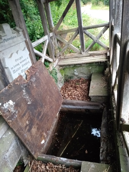
Ffynnon Gynydd submitted by geoffstickland on 18th Jul 2018. The well retains water even though pictured during the drought of July 2018
(View photo, vote or add a comment)
Log Text: Ffynnon Gynydd/St Cynidr's Well: On the way to this well, we stopped at an earthwork/enclosure just south west of Llowes, on Bryn yr Hydd Common, at SO 17808 41972, but the vegetation, trees and bracken were so high, it was virtually impossible to make out any structures.
But, at last, a site we could access, walk into and appreciate! The well house may be modern-ish, but the water is clear and we could hear it running through the well basin.
The water/spring feeding the well emerges from the fields by the side of a barn at SO 16380 41266, just round the corner, running along a ditch which rounds the corner to the well, down a slight gradient.
St Maelog's Cross
Trip No.167 Entry No.3 Date Added: 22nd Jul 2021
Site Type: Ancient Cross
Country: Wales (Powys)
Visited: Saw from a distance on 12th Jul 2021
St Maelog's Cross submitted by Sunny100 on 11th May 2010. St Maelog's Cross, Llowes Church, Powys at SO193417
(View photo, vote or add a comment)
Log Text: St Maelog's Cross: Despite being told the church was open, and going armed with masks and hand sanitiser, the door was very firmly locked. We could see the back of the cross through the windows at the north western corner of the church, but it was impossible to photograph through the tiny, dirty panes. So disappointed. I did spot a sundial in the churchyard, built into a memorial stone, so had to be content with photographing that.
The Monk's Well
Trip No.167 Entry No.2 Date Added: 22nd Jul 2021
Site Type: Holy Well or Sacred Spring
Country: Wales (Powys)
Visited: Couldn't find on 12th Jul 2021
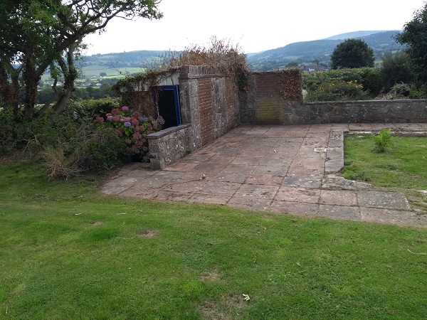
The Monk's Well submitted by geoffstickland on 3rd Sep 2018. Pump house on site of the original pool
(View photo, vote or add a comment)
Log Text: Monk's Well, Clyro: Despite having the grid reference and the Coflein information, we were unable to find this well, which appears to be on private land.
Clyro Court
Trip No.167 Entry No.1 Date Added: 22nd Jul 2021
Site Type: Chambered Tomb
Country: Wales (Powys)
Visited: Saw from a distance on 12th Jul 2021. My rating: Condition 2 Ambience 3 Access 4
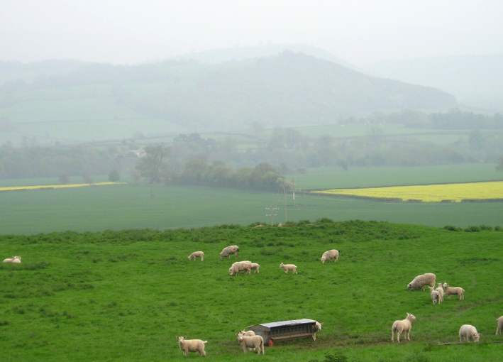
Clyro Court submitted by thecaptain on 14th May 2004. Clyro Court, Chambered Tomb, Powys, SO213432
Marked on the OS map as Chambered Long Cairn, the ruined remains of this tomb can be seen on a little hillock behind a house, beside the busy A438, overlooking the valley of the River Wye at Clyro, just over the river from Hay-on-Wye.
The remains of the tomb can be seen here from the northwest, and are the usual lumpy ground on top of the hillock. What looks like the remains of a stone chamber can be seen sticking out of the ground in the middl...
(View photo, vote or add a comment)
Log Text: Clyro Court Chambered Tomb: This tomb, marked on the OS map, lies on private ground behind a cottage. There was no one at home in the cottage, and the gates into the field had been padlocked with the largest padlocks and chains I've seen in a long time! We had to content ourselves with finding a vantage point by the barbed wire fence and photographing the cairn from there. Lumps and bumps vaguely visible. Would have loved to have climbed over for a closer look.
St Michael's Church (Kingsland)
Trip No.166 Entry No.1 Date Added: 22nd Jul 2021
Site Type: Ancient Cross
Country: England (Herefordshire)
Visited: Yes on 11th Jul 2021. My rating: Condition 3 Access 4
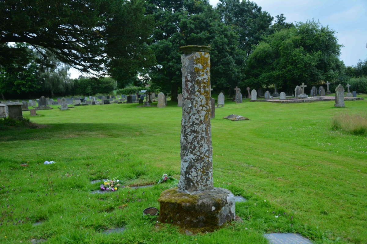
St Michael's Church (Kingsland) submitted by Anne T on 22nd Jul 2021. Standing nearer the church, looking south west, towards the site of Kingsland Castle (motte and bailey).
(View photo, vote or add a comment)
Log Text: St Michael's Churchyard Cross plus Motte and Bailey: This is the church my son and DIL should have been married in over a year ago, but thanks to Covid, then urgent roof replacement works, the wedding was moved to Aymestrey. Lovely church (from what we could see of it behind the scaffolding, almost Minster sized), but the cross took a little bit of spotting, as at first glance it looked just like a sundial (to be viewed from the back of a horse).
A gate from the near the entrance to the churchyard leads off onto a pleasant walk towards the motte and bailey site. As we enjoyed our walk, the rain started to pelt down, so we retreated back to the car. Nice site, and a lot to see.
St John the Baptist and St Alkmund (Aymestrey)
Trip No.165 Entry No.1 Date Added: 21st Jul 2021
Site Type: Ancient Cross
Country: England (Herefordshire)
Visited: Yes on 9th Jul 2021. My rating: Condition 4 Access 4
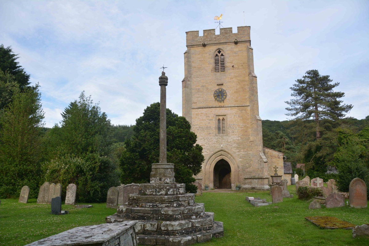
St John the Baptist and St Alkmund (Aymestrey) submitted by Anne T on 21st Jul 2021. Standing just inside the lych gate, looking past the cross to the west door into the church.
(View photo, vote or add a comment)
Log Text: Churchyard Cross (Aymestrey): We were here for my son and DIL's wedding rehearsal, but I was also very keen to get out into the churchyard to photograph this cross before dusk fell. Whilst the cross is medieval, Beaker burials have been found nearby, and I'm doing further research on the church to find out if a wooden building might have pre-dated the 12th century church. A very pretty spot, although difficult to find the church car park (the small lane is just to the north of the northern wall of the churchyard), and we missed this, so parked in the village hall and walked back the 150-200m to the church along the (at that time of night) quiet A4110.
Moffat Well
Trip No.164 Entry No.5 Date Added: 27th Jun 2021
Site Type: Holy Well or Sacred Spring
Country: Scotland (Dumfries and Galloway)
Visited: Yes on 25th Jun 2021. My rating: Condition 3 Ambience 4 Access 4

Moffat Well submitted by Anne T on 26th Jun 2021. Standing near the gate in the small field containing the spring and well house. A second spring emerges from the ground (indicated by the area of taller grasses and reads) just to the south-east of the well house. There is a pipe running from a tank inside the well house which would have/will run water down to Birnock Water gorge below.
(View photo, vote or add a comment)
Log Text: Moffat Sulphur Well: I've described this location as 'good' because, as the well house itself is neglected and run down, the scenery around it is very pretty, and we enjoyed our visit.
Approaching the well from the small car park (having tripped over the low lying fence wire suspended 2 inches from the ground between the gate posts- beware!), we became aware of the strong smell of sulphur from about 10m away.
Taking a very deep breath of clean air, I ventured into the dark, dark, dank well house, and managed to take a few photos of the tunnel bringing water into the first of two troughs. No water flow was evident at the time of our visit, but there had been a prolonged dry period before hand.
Another spring appears to surface some metres to the south of the well, creating a boggy area with small ponds.
Looking down over the iron railing near the well house to the gorge below, we spotted a series of small waterfalls. Further north, there is a larger waterfall marked on the map, but by this time it was late evening, and we wanted to go home, so didn't venture further.
Crunzierton Wood Scooped Settlement
Trip No.164 Entry No.4 Date Added: 27th Jun 2021
Site Type: Ancient Village or Settlement
Country: Scotland (Dumfries and Galloway)
Visited: Yes on 25th Jun 2021. My rating: Condition 2 Access 4
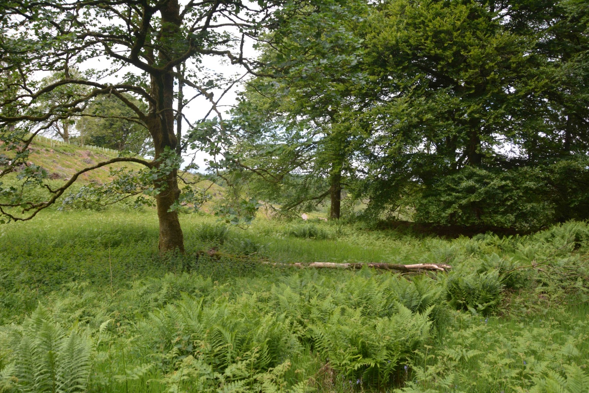
Crunzierton Wood Scooped Settlement submitted by Anne T on 27th Jun 2021. Standing in the middle of the southern bank of this settlement, looking north/north east across the sub-circular scoop. To the middle/left of the photo, the banks (which can more easily be seen with the naked eye) on the north western side of the scoop can be made out by the change in vegetation and the rise in ground level.
(View photo, vote or add a comment)
Log Text: Crunzierton Wood Scooped Settlement: I found the 'scramble' up the steep, leaf covered slope to reach the settlement a little bit of a challenge, and rather than slide back down, we came back down on what had been a forestry track (now ruined by recent harvesting) on the north eastern side of the settlement.
What a pleasant part of the world, very rural, with what appeared to be mixed forestry rather than just pine.
Easier to see the outline of the settlement with the naked eye rather than try and capture it with the camera. Would love to come back when the undergrowth has died back.
Skip Knowe
Trip No.164 Entry No.3 Date Added: 27th Jun 2021
Site Type: Standing Stone (Menhir)
Country: Scotland (Dumfries and Galloway)
Visited: Yes on 25th Jun 2021. My rating: Condition 3 Access 4

Skip Knowe submitted by Apocryphus on 20th Jan 2019. On a minor road south of Moffat.
Located under trees and over a fence but close to the road. A substantial stone shown on OS maps
(View photo, vote or add a comment)
Log Text: Skip Knowe Standing Stone, Gateside: Our fourth stop of the day, after having investigated Hodge Wells and Springs at NY 10960 95700 [not recorded here, as this is neither a holy well or sacred springs]. I've said this is Access: 4, when you can actually park on the grass verge right by the stone, but the grass verge is very uneven and difficult (for me) to navigate. Couldn't find part of the fence low enough to hop over this time (must have been repaired since April 2019), nor could we find a gate off the side of the field nearest the road.
Not much has changed about this stone. We managed to identify the second stone mentioned by Canmore, some 18ft from the main standing stone, but it did look more like 'just a boulder', which had other stones around it.
Very pleasant countryside, and no workmen erecting telegraph poles this time round!
Chapman's Stone
Trip No.164 Entry No.2 Date Added: 27th Jun 2021
Site Type: Standing Stone (Menhir)
Country: Scotland (Dumfries and Galloway)
Visited: Yes on 25th Jun 2021. My rating: Condition 2 Ambience 3 Access 5

Chapman's Stone submitted by Anne T on 5th Apr 2019. Standing just to the north east of the stone, looking south west over the road, towards the course of the River Annan. Whilst Canmore classifies this stone as a prehistoric standing stone, they say "the stone traditionally marks the droving stance, and at a later date, the grave of a travelling horse trader" (called Chapman). We believe this is the ancient road to Carlisle from Glasgow, so the route may be really old, and this was one of the marker/way stone along that route.
(View photo, vote or add a comment)
Log Text: Chapman's Stone: Again, our second stop of the day, and I'd remembered wrongly there was a stile which allowed access to the field with this stone in. Rather, the stone acts as a stile, although the height of the fence and the barbed wire at the top stopped us from hopping over; neither could we find a gate on the side of the field nearest the road.
Such a shame this stone hasn't been set upright again. The views in either direction are very pretty.
Poldean menhir
Trip No.164 Entry No.1 Date Added: 26th Jun 2021
Site Type: Standing Stone (Menhir)
Country: Scotland (Dumfries and Galloway)
Visited: Yes on 25th Jun 2021. My rating: Condition 3 Ambience 4 Access 4
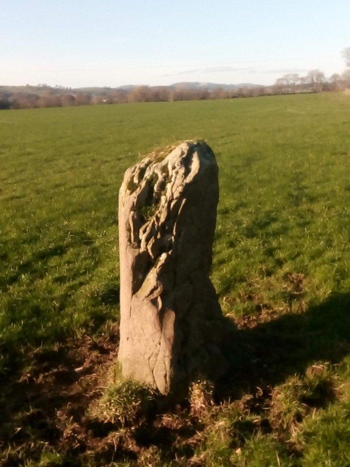
Poldean submitted by Apocryphus on 20th Jan 2019. A smaller stone located opposite Poldean Farm on a minor road south of Moffat
(View photo, vote or add a comment)
Log Text: Poldean menhir: Re-visited this stone whilst in the Moffat area. Not much has changed, except the weeds have been allowed to grow high around the stone. The area around its base has been heavily trampled, and was difficult to walk across. Two VERY large, very handsome bulls in the field of pasture, but thankfully an electric fence between us and them.
Eddybroth Well (Whittle Dene)
Trip No.163 Entry No.2 Date Added: 11th Jun 2021
Site Type: Holy Well or Sacred Spring
Country: England (Northumberland)
Visited: Yes on 8th Jun 2021. My rating: Condition 3 Ambience 4 Access 3
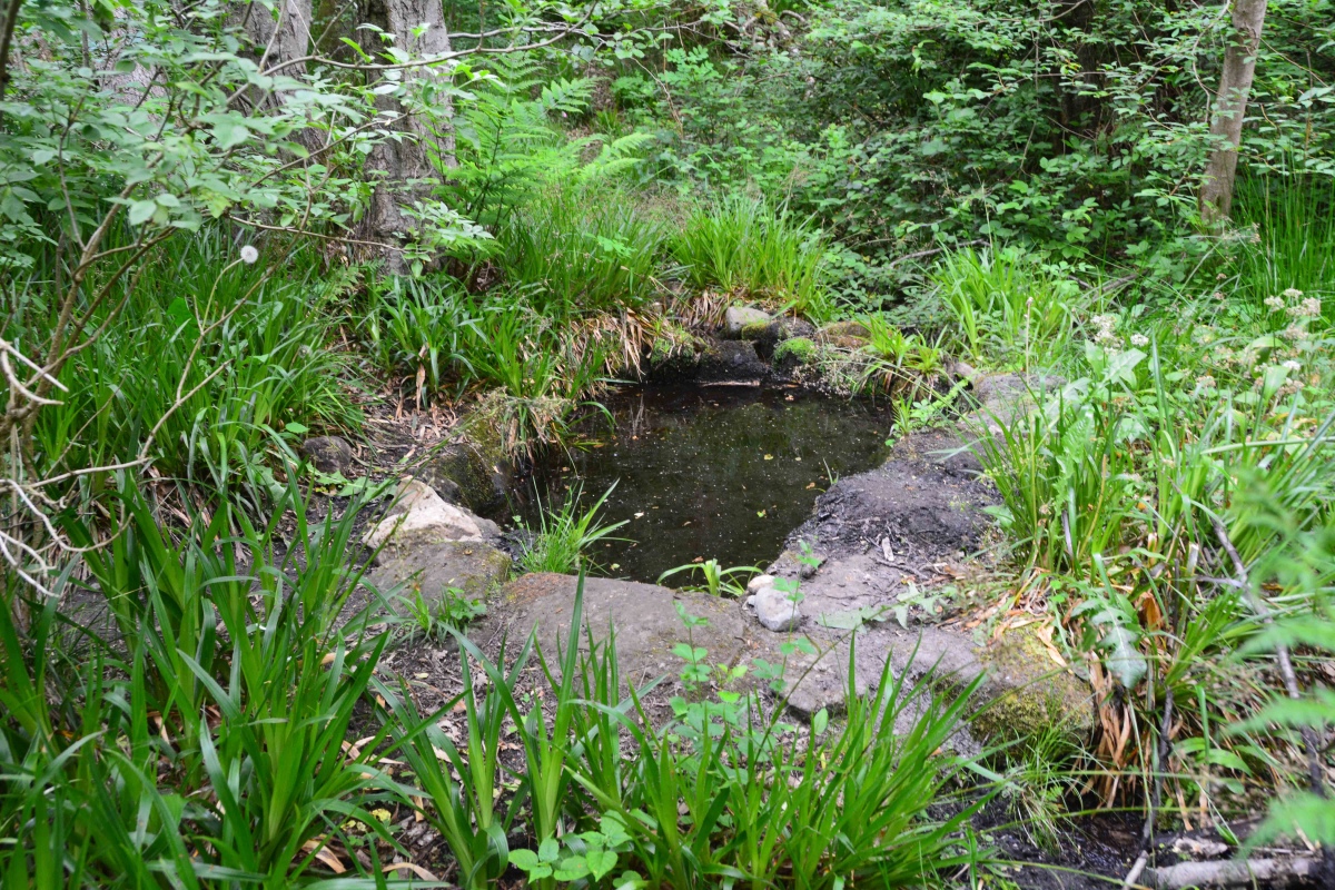
Eddybroth Well (Whittle Dene) submitted by Anne T on 11th Jun 2021. First view of Eddybroth Well, turning right (east), following the footpaths along the pond that used to feed the old corn mill sluice system.
(View photo, vote or add a comment)
Log Text: Eddybroth Well and Dean Head Well, Whittle Dene: A lovely walk along St Andrew's Lane from Ovington, then down (and across) Whittle Burn, and along leafy, shady paths which follow the side of the Burn. A lovely managed woodland, complete with small wooden chalets that were being well used in this warm weather. Once passed these, we saw only one other person. A really pleasant afternoon, and so pleased to have found this well.
St Andrew's Well (Ovington)
Trip No.163 Entry No.1 Date Added: 11th Jun 2021
Site Type: Holy Well or Sacred Spring
Country: England (Northumberland)
Visited: Yes on 8th Jun 2021. My rating: Condition 2 Ambience 2 Access 4
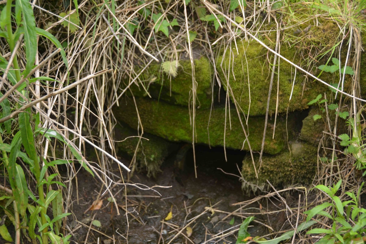
St Andrew's Well (Ovington) submitted by Anne T on 11th Jun 2021. Stepping carefully round the hole for the well, with feet either side of what would have been the water channel flowing from the well, the remain of a stone structure can be seen.
After a period of rain, water flows into a small channel which leads south. The ground was still muddy and boggy at the time of our visit, after a prolonged dry period.
(View photo, vote or add a comment)
Log Text: St Andrew's Well, Ovington: Parking in Ovington village by the old red phone box (now the Village Information Centre), it was a very pleasant walk along St Andrew's Lane to find this well, now no longer shown on the OS maps, but still very much there.
We carried on towards Whittle Dene, another glorious location, to find Dean Head Well and Eddybroth Well.
Entry Well (Ovington)
Trip No.162 Entry No.1 Date Added: 9th Jun 2021
Site Type: Holy Well or Sacred Spring
Country: England (Northumberland)
Visited: Yes on 6th Jun 2021. My rating: Condition 3 Ambience 4 Access 4
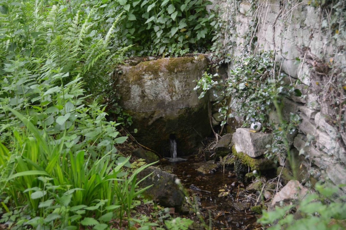
Entry Well (Ovington) submitted by Anne T on 9th Jun 2021. People still visit Entry Well, as there is an overgrown path a few metres to its eastern side. This leads down to the small stream taking water from the well.
(View photo, vote or add a comment)
Log Text: Entry Well, Ovington: A pleasant walk on a warm, sunny Sunday evening, trying to destress before the builders arrive next door tomorrow. Not expecting to find anything at this site, we were surprised by the remaining, and still visible structure here. Not been able to find out anything much about this well, apart from the fact it forms the western boundary of the parish of Ovington. Have appealed for further information until I can get hold of some local history books/journals.
Ings Well (Mickley)
Trip No.161 Entry No.7 Date Added: 9th Jun 2021
Site Type: Holy Well or Sacred Spring
Country: England (Yorkshire (West))
Visited: Yes on 31st May 2021. My rating: Condition 3 Ambience 4 Access 4
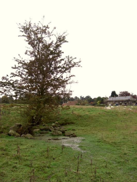
Ings Well (Mickley) submitted by jamesrattue on 23rd Oct 2008. Ings Well at Mickley, photographed 15th October 2008.
(View photo, vote or add a comment)
Log Text: Ings Well & Spring, Mickley (North Yorkshire): Our last stop of the day, and what a pretty site, with an easy walk down the Ripon Rowel Way from Mickley village. Note: there was a very rickety stile to cross as you entered the field at SE 25833 77052 (the top step was like a see-saw, although climbing the gate might have been easier!).
Sited under a lone hawthorn tree to the left hand side of the footpath, water flows freely out of the ground and spreads out into the field.
At SE 25954 77141 a large wooden post marks the location of a spring, the waters of which appear to flow south-east to north-west along a drainage channel. I wanted to investigate further, and also walk to another well (marked 'W' on the HE map search) at SE 26090 77149, but the field was far too wet and boggy and I was sinking up to my ankles in water. So wish I'd taken a pair of wellies!
Billey Keld
Trip No.161 Entry No.6 Date Added: 8th Jun 2021
Site Type: Holy Well or Sacred Spring
Country: England (Yorkshire (West))
Visited: Yes on 31st May 2021. My rating: Condition 3 Ambience 3 Access 4
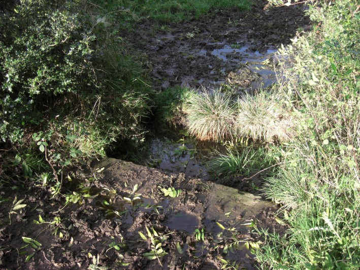
Billey Keld submitted by jamesrattue on 23rd Oct 2008. Billey Keld at Grewelthorpe, photographed 15th October 2008.
(View photo, vote or add a comment)
Log Text: Billey Keld Well, Grewelthorpe: With some very lively bullocks in the field, we decided not to venture into the field through the gate to look at well. However, we managed to see some of the structure from the roadside.
A local lady walking her dog stopped to talk to us and say she remembers visiting the well to collect water when she was a child.
Skew Skell Well
Trip No.161 Entry No.5 Date Added: 8th Jun 2021
Site Type: Holy Well or Sacred Spring
Country: England (Yorkshire (North))
Visited: Yes on 31st May 2021. My rating: Condition 2 Access 4
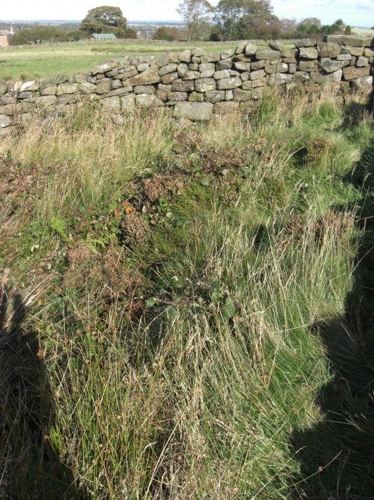
Skew Skell Well submitted by jamesrattue on 23rd Oct 2008. Skew Skell Well at Ilton, photographed 16th October 2008.
(View photo, vote or add a comment)
Log Text: Skew Skell Well, Ilton: We parked at SE 18823 78010, and walked NW down the slope with GPS in hand to find this well. It is in a small, rectangular area (to our right hand side) defined by a the stone walls forming an enclosure open at its south-western side, presumably to accommodate, and allow access to the well and a spring.
The ground was very heavily covered with foliage and nettles. The sound of running water could be clearly heard. Skew Skell Well could be made out by standing in the NE of the enclosure (there was a deep dip, filled with water). The spring appeared to be on the NW edge of the enclosure, with water now appearing to rise just over the stone wall, in the adjacent field. This flow of water could be followed downhill by a line of reeds.
On the opposite side of the road, there was another large pool of water. Other springs rise in the area. Water from Skew Skell Well must be piped under the road and run down the drainage ditch at the other side of the lane.
Berry Well
Trip No.161 Entry No.4 Date Added: 8th Jun 2021
Site Type: Holy Well or Sacred Spring
Country: England (Yorkshire (West))
Visited: Yes on 31st May 2021. My rating: Condition 3

Berry Well submitted by jamesrattue on 23rd Oct 2008. Berry Well at Swinton, photographed 18th October 2008.
(View photo, vote or add a comment)
Log Text: Berry Well, Swinton Park Hotel: After St Michael's Well in Well, we stopped off in Masham for refreshments, stopping to photograph the water troughs/Renton Well in Masham before setting off to find Berry Well.
We parked at SE 21443 79735, just to the south of the hotel lodge gates. As I stepped out of the car, I immediately noticed the trough.
The area of grass verge up to the well from the hotel gates has been recently strimmed. The sound of running water can be clearly heard. The well basin is well under the current ground level, and largely hidden by the weed trimmings. The water is piped under the road, although there is no indication that we could find of where the water goes to.
There is a pond on the other side of the wall, which feeds the well. There is a small, lively, very clear stream which wends its way down a very gentle slope in the grounds of the Swinton Park Hotel. (The gates of the hotel were open, so we popped in and followed the wall along).
There is another section of trough on the hotel side of the wall.
St Michael's Well (Well)
Trip No.161 Entry No.3 Date Added: 7th Jun 2021
Site Type: Holy Well or Sacred Spring
Country: England (Yorkshire (North))
Visited: Yes on 31st May 2021. My rating: Condition 3 Ambience 4 Access 5
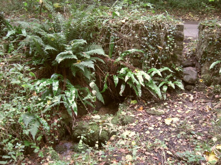
St Michael's Well (Well) submitted by jamesrattue on 20th Oct 2008. St Michael's Well, Well, North Yorkshire, photographed October 2008.
(View photo, vote or add a comment)
Log Text: St Michael's Well, Well: Our third stop of the day, driving west out of Well village, up a shady, pretty single track road with trees on either side. With little/no traffic on this road, we pulled into the passing place/small layby immediately opposite the well. At first, I didn't think anything was here, but behind the stone wall and wooden fence to the northern side of the road, there was the very distinct sound of running water.
Behind the small stone wall are some steps which lead down to the well itself, through which copious amounts of very clear water are running. This water then leads into a small stream which runs into Well Beck.
We didn't realise until later that the actual source of the water was from the southern side of the road, which also has a stone wall structure, fronted by what is now a muddy patch (once the well pool?). The water looks as if it originally emerged from by a large tree now growing in the wall. This area of ground has been heavily churned by cattle and the small gap/stile in the wall at this point has been wired off.
A very lovely spot, well worth the visit.
