Submitted by thecaptain on Thursday, 01 October 2026 (43056 reads)
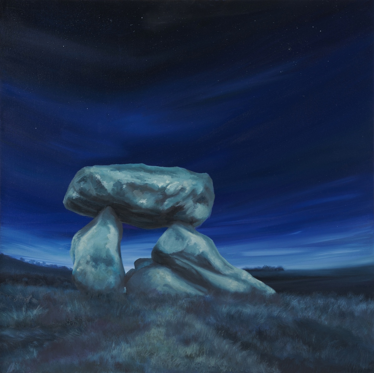
Neolithic and Bronze AgeBurial chamber in Wiltshire, reconstructed (rather badly) in 1921. All that remains are two standing stones and a capstone with two fallen stones underneath. This was originally placed in the south-eastern end of a long mound which was described in the 1920s as being around 230ft long. Image submitted by KerryW
One of two paintings by Kerry Webb inspired by a recent visit to the Devil's Den - the other is on our page. Thanks for sharing Kerry, looking forward to seeing more soon Read More | 12 News and Comments | Category: Our Photo Pages
Submitted by Billythefish on Sunday, 27 September 2026 (327 reads)
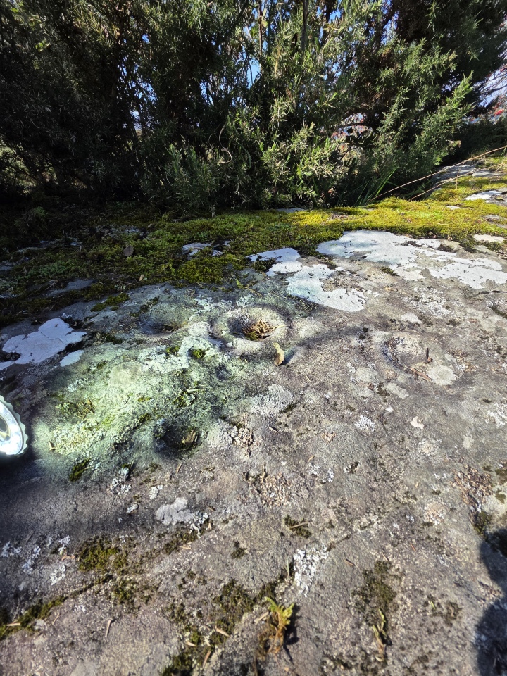
Rock ArtA rock outcrop beside the access drive to Achanarnich. I am told by locals that access is unrestricted with the usual caveats of not obstructing gates or causing damage. Image submitted by Billythefish
Submitted by juamei on Saturday, 26 September 2026 (22196 reads)
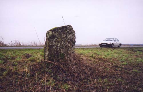
Date UncertainSituated on the edge of the A146 just before the Stockton sign as you come from Norwich. This stone is missed no doubt by 99 percent of the people hurtling past on a reasonably busy A road. Image submitted by juamei
Submitted by Andy B on Friday, 25 September 2026 (12192 reads)
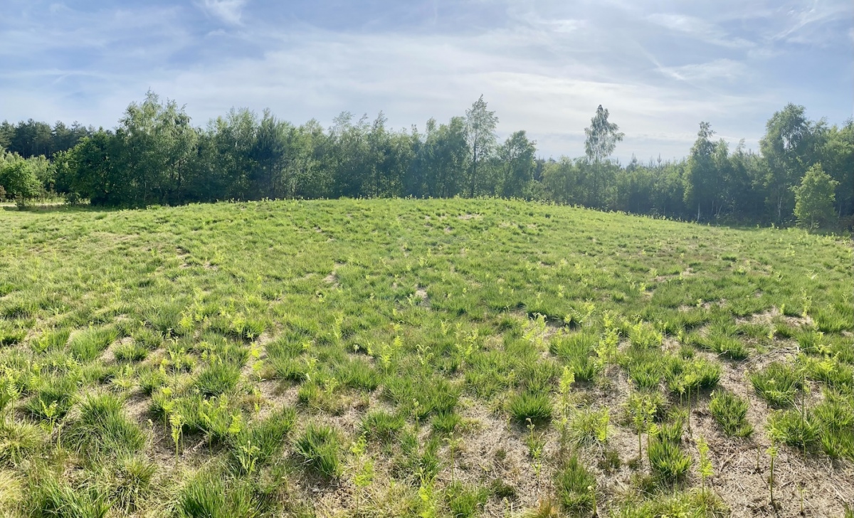
Neolithic and Bronze AgeA possible short long barrow (yes that is a thing - can you see it?) and round barrow that were in a pine plantation. This recent photo sent by Rebecca Penkett (thanks!) shows the plantation has been cleared around the long barrow. No surrounding ditch is evident at either barrow.
Image submitted by RebeccaPenkett
Submitted by GEdge on Thursday, 24 September 2026 (804 reads)
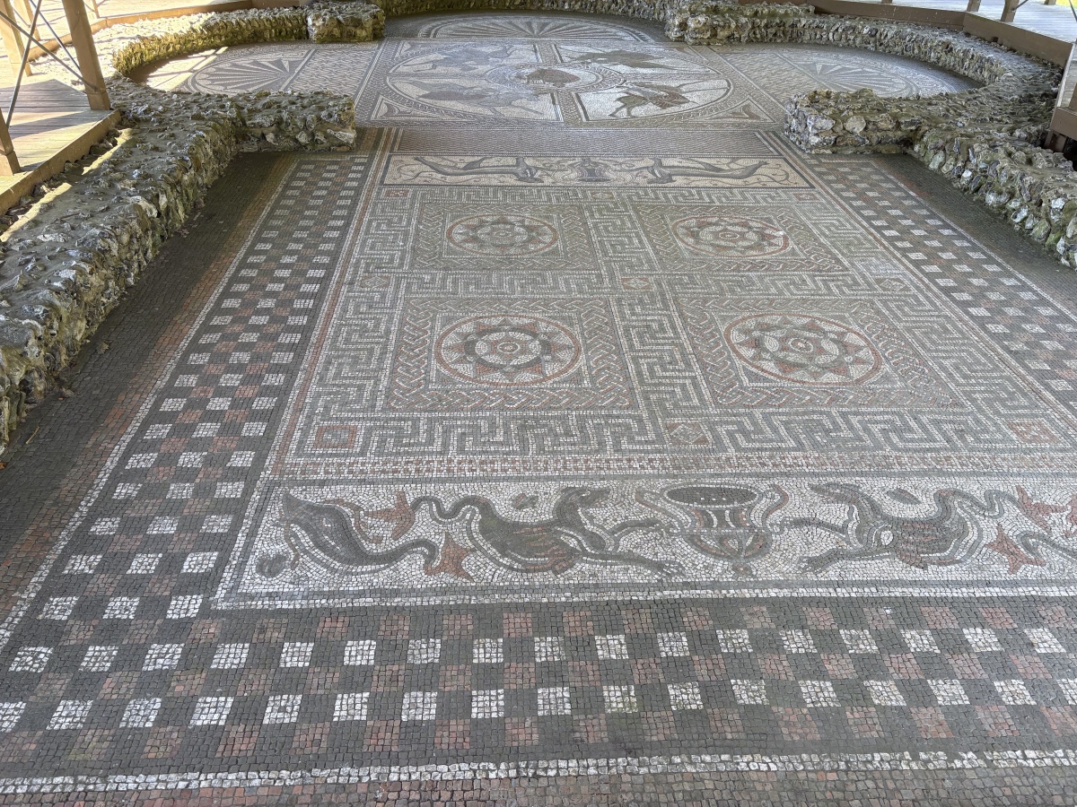
Roman, Greek and ClassicalAn extensive villa at Littlecote Park just over a mile west of Hungerford. The Orpheus mosaic (pictured) would have been in a large hall dedicated to the Greek legendary hero. The mosaic is one of the best I (GEdge) have seen in this country and the remains of the grand villa are extensive. Image submitted by GEdge
Submitted by Johnny on Wednesday, 23 September 2026 (20872 reads)
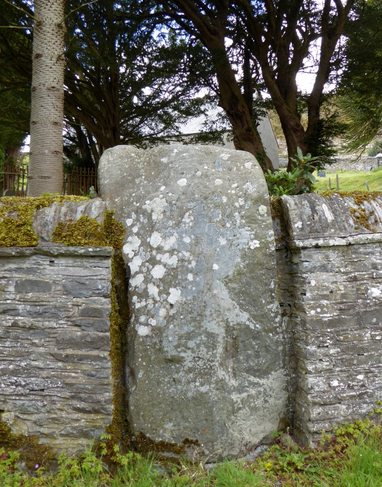
Neolithic and Bronze AgeThe roughly circular churchyard has a surrounding wall into which are set five upright stones, at least one of which is almost certainly in its original position (see separate submission). Some of the other stones are not sunk into socket holes and have masonry below implying that they may not be in their original positions. Image submitted by PAB
Is this site an embanked Bronze Age stone circle converted to be a Christian Church in later times? CoralJackz investigate in their video and article linked from our page Read More | 7 News and Comments | Category: Our Photo Pages
Submitted by Anne T on Monday, 21 September 2026 (1182 reads)
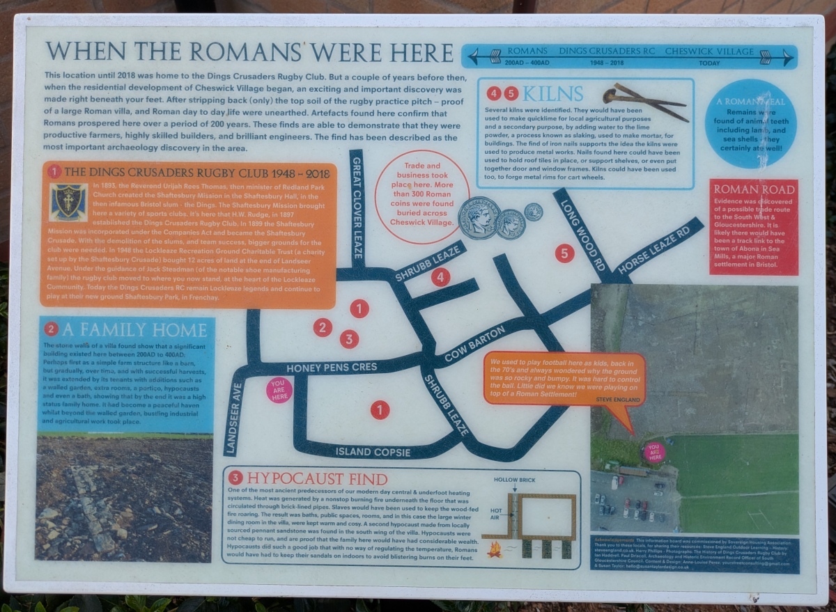
Multi-periodThe site of a Roman villa discovered on land which has now become a new housing development between Cheswick Village and Lockleaze. Martyn 'TheCaptain' took a visit and found these rather good information boards. Lots more about the site on our page. Image submitted by TheCaptain
Submitted by Anne T on Monday, 21 September 2026 (869 reads)
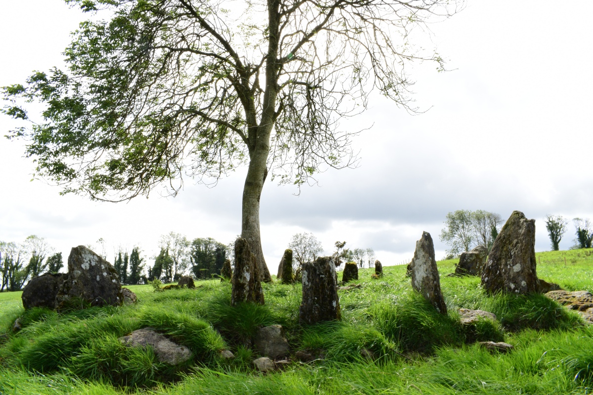
Neolithic and Bronze AgeEighteen slabs stand on end near the top of a ridge in rough pasture, set like the spokes of a wheel around a low spread of cairn stones. Radial stone cairns are rare, with only about twenty recorded in Ireland. The slabs are 0.5 to one metre long, an early account reckoned the ring had once held twenty-four. Image submitted by thelaoiscyclist
Submitted by Anne T on Monday, 21 September 2026 (815 reads)
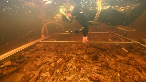
Iron Age and Later PrehistoryThis crannog in Loch Bhorgastail was built upwards from the loch bed about five thousand years ago. A recent survey using stereophotogrammetry is revealing new information. The archaeologists also found hundreds of sherds of Neolithic pottery in the water around the island, which cannot have got there by accident. More details on our page. Image submitted by Anne T
Submitted by Anthony_Weir on Saturday, 19 September 2026 (8328 reads)
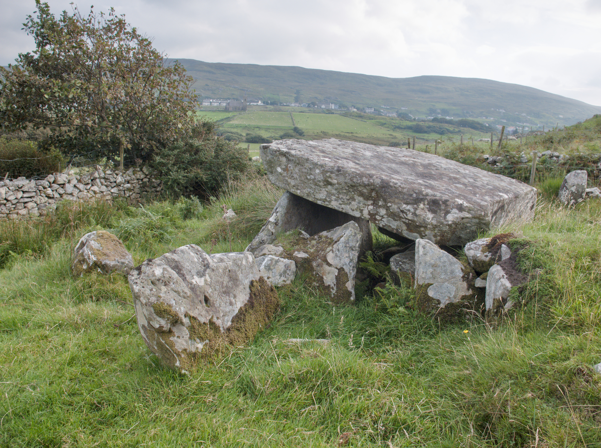
Neolithic and Bronze AgeAnthony Weir writes: The townland of Glencolumbcille in Co. Donegal is famous for its "turas", or devotional pattern on the 9th of June, along a given route which is punctuated by stations. Most of the stations feature beautiful early-christian cross-slabs and cairns, but two are megalithic tombs! The ninth station, Farranmacbride, shown here, 400 metres north of the church, close to a perforated standing-stone "through which Heaven may be glimpsed" by the pure - or devout - "and barren women made fertile", is a huge ruined court-tomb, some of whose chambers have been used as livestock pens. Image submitted by Lemmy
Submitted by Andy B on Saturday, 19 September 2026 (9396 reads)
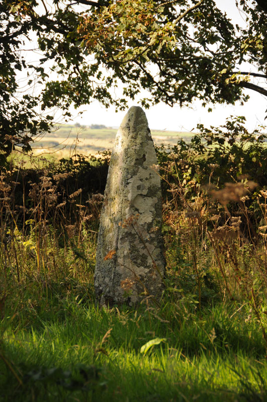
Neolithic and Bronze AgeA pair of standing stones in Pembrokeshire. The stone pictured is located at SM827263 and has the initials "J.G." carved into it with the date 1860 - details on our page, along with the other stone. It is handily located on the grass verge so you can walk right up to it or easily view from the road. The village name suggests there are three standing stones here. This is the second of two marked on the OS map. Image submitted by Anne T
Submitted by pab on Friday, 18 September 2026 (6553 reads)
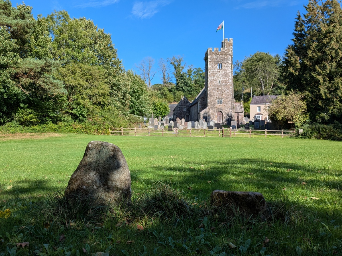
Early MedievalIn the playing field beyond the churchyard, are what looks like two stubs of once larger stones. Bearing crosses, the crosses are thought to be of 7th-9th century date. More detailed photos are on our page. Image submitted by TheCaptain
Submitted by Anne T on Wednesday, 16 September 2026 (4039 reads)
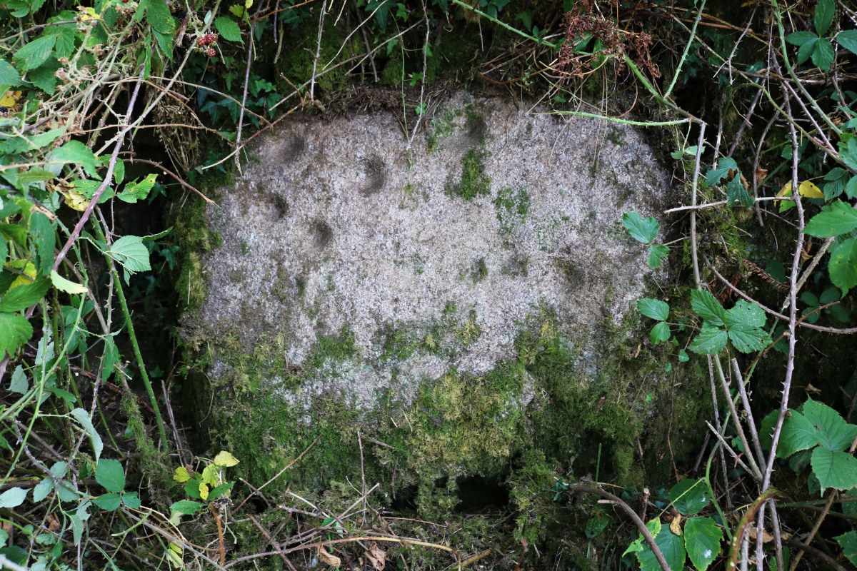
Rock ArtLithicality writes: Very pleased to have found this stone after asking permission from the landowner. [As are we to receive the first photo of it - thanks! - MegP Ed] It is located about 10 metres from the gate in the position shown on the map on our page, at the bottom of a wall corner that sticks out into the lane. Hidden by nettles and brambles and only spotted by lynx eyed S. Once cleared a bit the marks are still visible although getting harder to make out in comparison to the 1976 photo by Tom Greeves. (also on our page). We felt convinced these are cup marks as opposed to a buddle stone. Image submitted by lithicality
Submitted by Anne T on Monday, 14 September 2026 (1035 reads)
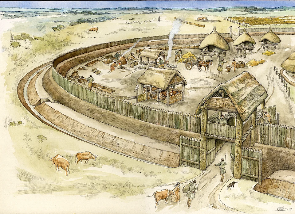
Iron Age and Later PrehistoryRecorded during excavations in 2008-2009 in advance of construction of the Weymouth Relief Road. Road construction affected only the western edge of the settlement, which may have been very much larger. The settlement was established in the 800-600 BC, the very earliest Iron Age, and appears not to have been enclosed at that time. Reconstruction image by Mark Gridley, commissioned by Oxford Archaeology Image submitted by Anne T
Submitted by Anne T on Friday, 11 September 2026 (10926 reads)
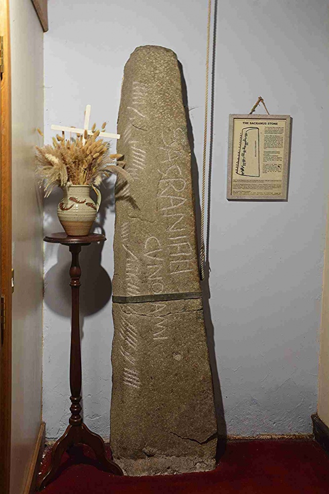
Early MedievalThe Ogham inscription has been translated as "of Sagranus son of Cunatamus?" and thought to be 5th- to early 6th-century in date. More close-ups on our page. A number of incised stones were found within the Abbey grounds; only the Sagranus Stone (pictured) is on display in the church - most are now displayed in the nearby Abbey Visitor Centre. Image submitted by Anne T
Submitted by HamGarn on Thursday, 10 September 2026 (14986 reads)
Neolithic and Bronze AgeNear Roughfort on the far outskirts of the city of Belfast. It looks like it has been cleared of a lot of vegetation that previous visitors complained of. Also known as Granny’s Grave (a corruption of Grania’s Grave which is itself a translation of Carn Greine = Cairn of the Sun), an overgrown, low, megalithic passage still roofed, 9 metres long. At the south-western end of is a sealed polygonal chamber which is roofed by a single stone 1.8 metres across. Image submitted by HamGarn
Submitted by DrewParsons on Thursday, 10 September 2026 (11794 reads)
Iron Age and Later PrehistoryThe site of the only known crannog in Wales. A dug-out canoe found some 400 metres from the site and now in Brecon Museum (pics on our page) has been radio carbon dated to between 760 AD and 1020 AD suggesting an age for the site. There is a reconstructed crannog house created on an island some 70 metres from the original crannog which has display panels and a replica of the canoe. Image submitted by GEdge
Submitted by davidmorgan on Tuesday, 08 September 2026 (3294 reads)
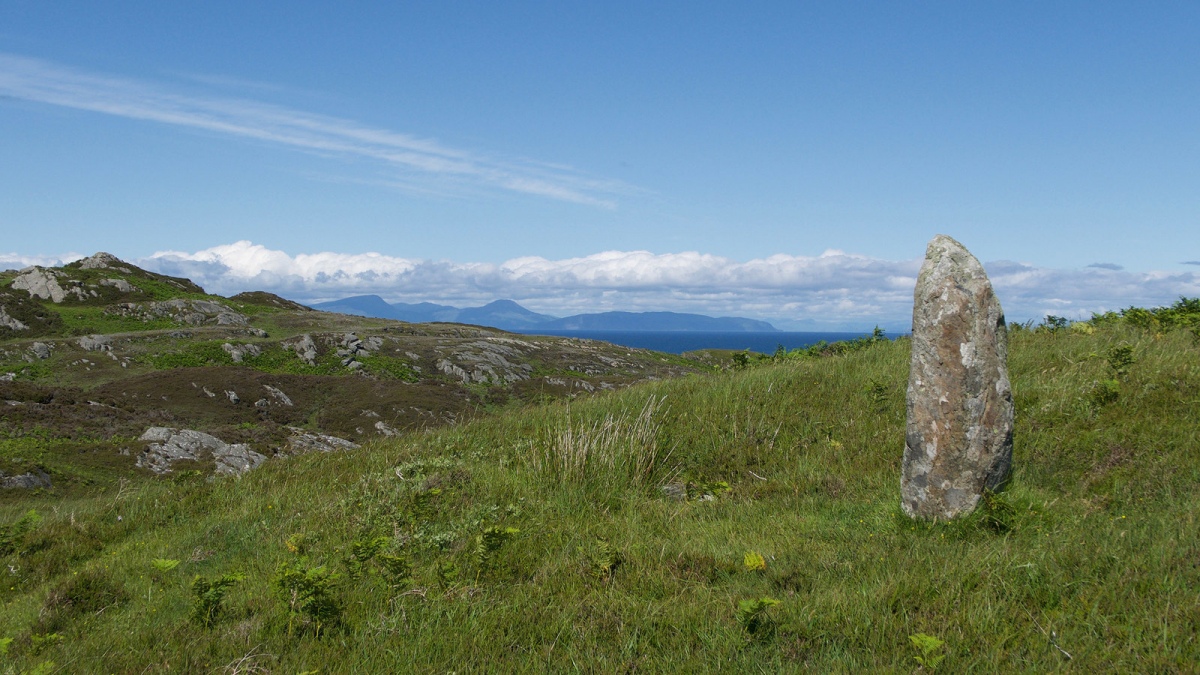
Neolithic and Bronze AgeA 1.4 metre tall standing stone on Cnoc a' Charragh (Hill of the Standing Stone) a remote, rocky location on the Isle of Colonsay. Just to the north lies another slab, 2 m by 0.8 m and at least 0.2 m thick. In 1923, S Grieve took it to be the cover of a long cist. This was examined and found to be empty. In 1984 RCAHMS thought it more likely a second, fallen standing stone. Creative Commons photo by Julian Paren, Image submitted by Creative Commons
Submitted by BigSweetie on Sunday, 06 September 2026 (21425 reads)
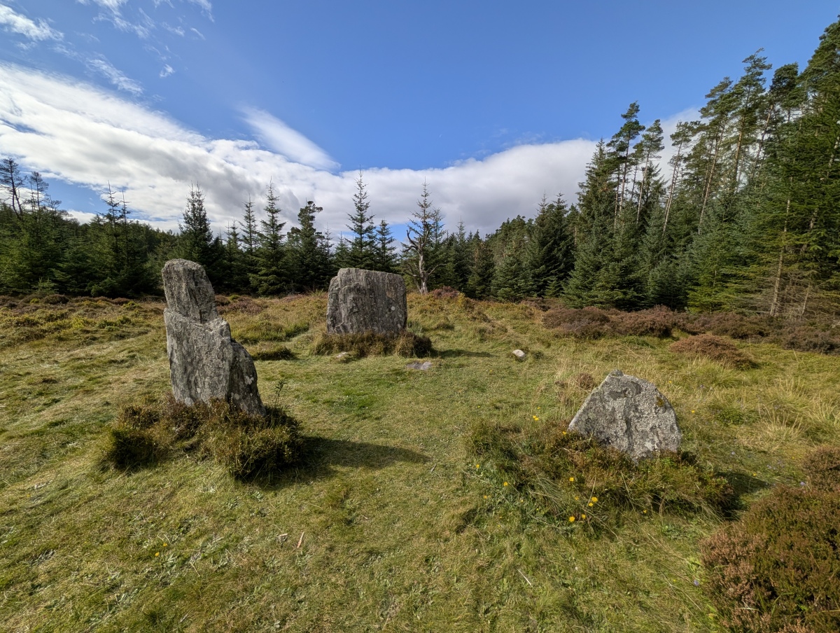
Neolithic and Bronze AgeAn absolutely lovely site and well worth the visit as part of the Clunie Path. When the Clachan an Diridh stone circle was built, it would have had magnificent views to the NE across the River Tummel to Ben Vrackie and the Grampians beyond, and to the SW down the River Tay. Image submitted by dst
Submitted by Johnny on Thursday, 03 September 2026 (17406 reads)
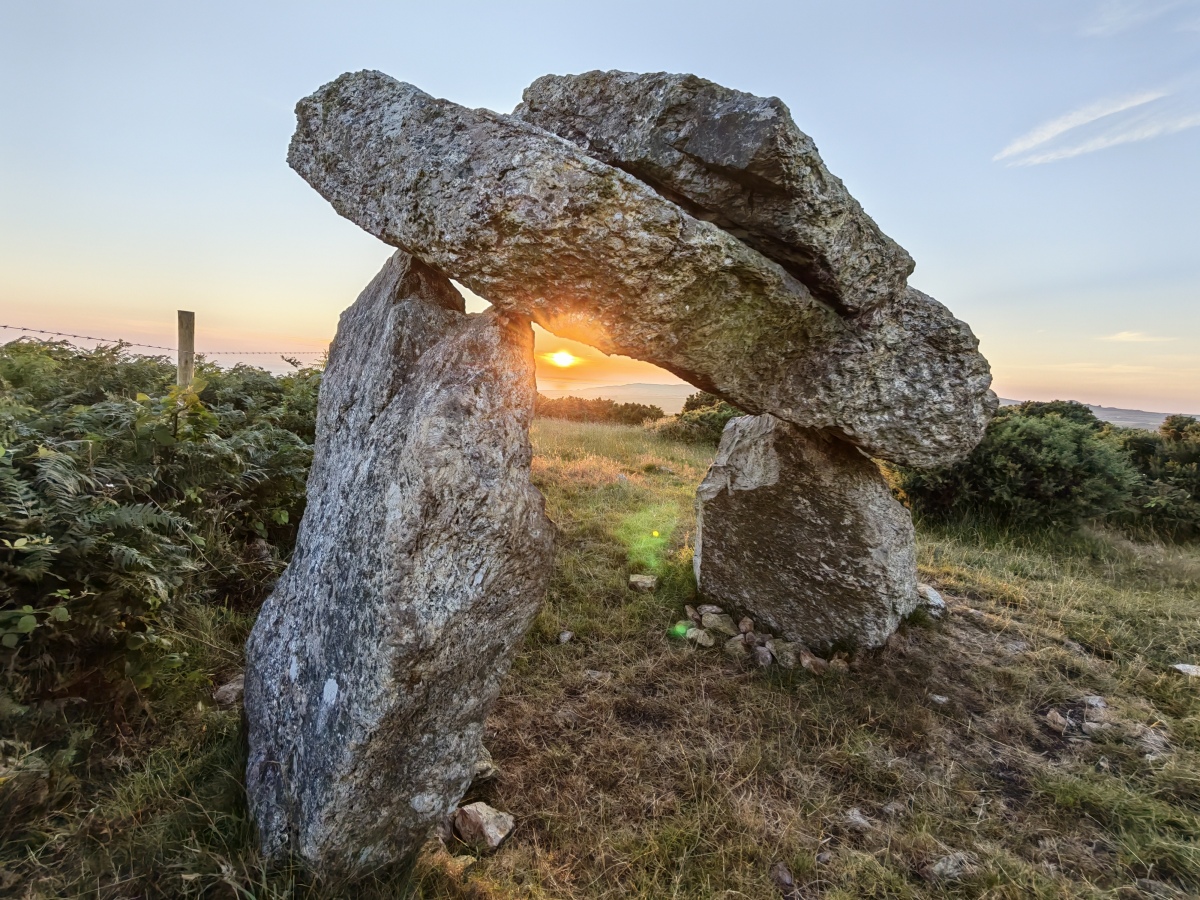
Neolithic and Bronze AgeWhat was originally a neolithic chamber is now bizarre in appearance, consisting of a capstone apparently delicately balanced on just two tall pointed supporting stones. Although difficult to reach, the effort required is worthwhile. Image submitted by Bladup