<< Our Photo Pages >> Foales Arrishes - Ancient Village or Settlement in England in Devon
Submitted by AngieLake on Monday, 27 August 2012 Page Views: 13186
Multi-periodSite Name: Foales ArrishesCountry: England County: Devon Type: Ancient Village or Settlement
Nearest Town: Ashburton Nearest Village: Widecombe in the Moor
Map Ref: SX73777587 Landranger Map Number: 191
Latitude: 50.568901N Longitude: 3.783823W
Condition:
| 5 | Perfect |
| 4 | Almost Perfect |
| 3 | Reasonable but with some damage |
| 2 | Ruined but still recognisable as an ancient site |
| 1 | Pretty much destroyed, possibly visible as crop marks |
| 0 | No data. |
| -1 | Completely destroyed |
| 5 | Superb |
| 4 | Good |
| 3 | Ordinary |
| 2 | Not Good |
| 1 | Awful |
| 0 | No data. |
| 5 | Can be driven to, probably with disabled access |
| 4 | Short walk on a footpath |
| 3 | Requiring a bit more of a walk |
| 2 | A long walk |
| 1 | In the middle of nowhere, a nightmare to find |
| 0 | No data. |
| 5 | co-ordinates taken by GPS or official recorded co-ordinates |
| 4 | co-ordinates scaled from a detailed map |
| 3 | co-ordinates scaled from a bad map |
| 2 | co-ordinates of the nearest village |
| 1 | co-ordinates of the nearest town |
| 0 | no data |
Internal Links:
External Links:
I have visited· I would like to visit
JimA visited on 29th Mar 2021 - their rating: Cond: 3 Amb: 4 Access: 4
AngieLake have visited here

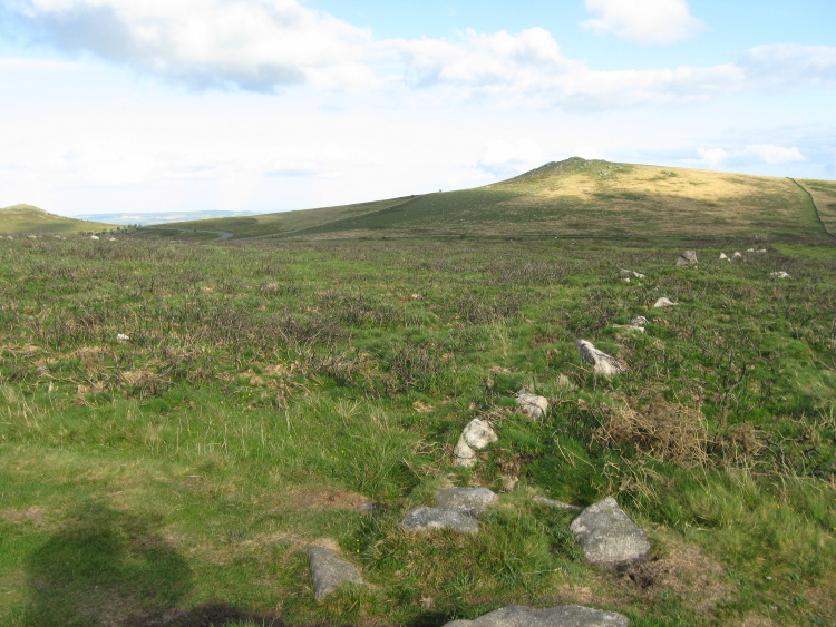
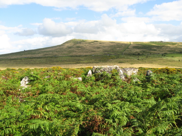
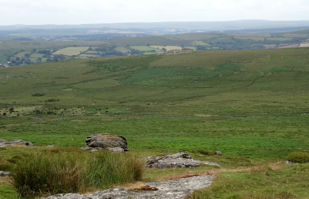
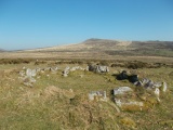
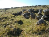
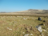
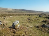
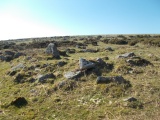
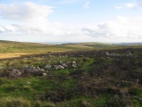
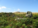
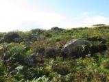
Somewhere in amongst all this are hut circles and walls of fields strung out between the older reaves. To help make sense of it, I hand-drew the plan in Butler’s ‘Dartmoor Atlas of Antiquites, Volume One – The East’*, published in 1991. This set of five books is invaluable when exploring Dartmoor.
The section on Foales Arrishes comes under Map 9, and starts on page 57. I took his book with me to try to locate some of the highlights of the site, and took many photos of those I believe I found.
I parked at a little pull-in by the Widecombe road, just past Hemsworthy Gate, and right opposite Seven Lords’ Lands cairn. Foales’ Arrishes is very close to the road here.
Lots more from Angie Lake's visit at the bottom of the page.
Beware of boggy ground if visiting!
Update October 2019: This settlement is featured on the Prehistoric Dartmoor Walks (PDW) website - see their entry for the Foales Arrishes Settlement.
The settlement is also recorded as Pastscape Monument No. 445116 and as MDV7415 (Hut circle settlement at Foale's Arrishes) on the Devon and Dartmoor HER.
The site is also scheduled as Historic England List ID 1003283 (Foale's Arrishes, huts and fields, Blackslade Down).
You may be viewing yesterday's version of this page. To see the most up to date information please register for a free account.








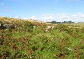
These are just the first 25 photos of Foales Arrishes. If you log in with a free user account you will be able to see our entire collection.
Do not use the above information on other web sites or publications without permission of the contributor.
Click here to see more info for this site
Nearby sites
Key: Red: member's photo, Blue: 3rd party photo, Yellow: other image, Green: no photo - please go there and take one, Grey: site destroyed
Download sites to:
KML (Google Earth)
GPX (GPS waypoints)
CSV (Garmin/Navman)
CSV (Excel)
To unlock full downloads you need to sign up as a Contributory Member. Otherwise downloads are limited to 50 sites.
Turn off the page maps and other distractions
Nearby sites listing. In the following links * = Image available
501m NE 43° Seven Lords' Lands* Stone Circle (SX74127623)
507m SW 223° Blackslade Down Cairn and Cist* Cist (SX7341275510)
584m W 261° Tunhill Rocks* Ancient Village or Settlement (SX7318975796)
594m NNW 332° Top Tor row Stone Row / Alignment (SX735764)
633m NNW 341° Top Tor Cairns* Cairn (SX7357476472)
787m SSW 212° Wittaburrow Cairn* Cairn (SX73347521)
934m ESE 107° Rippon Tor* Cairn (SX74667558)
2.1km W 268° Dunstone Cup Stone Rock Art (SX71677585)
2.2km WNW 294° Saxon Well* Holy Well or Sacred Spring (SX718768)
2.5km NNW 339° Chinkwell Tor Cairn* Cairn (SX7293078250)
2.6km S 183° Buckland Ridge South Ring Cairn (SX73577324)
2.8km S 184° Ten Commandments Stone* Natural Stone / Erratic / Other Natural Feature (SX735731)
2.9km N 5° Hound Tor Ring Cairn* Ring Cairn (SX7409778770)
3.0km NE 36° Smallacombe Rocks Settlement* Ancient Village or Settlement (SX7558378211)
3.0km S 184° Stidwell* Holy Well or Sacred Spring (SX735729)
3.0km NNE 15° Hound Tor Deserted Medieval Village* Ancient Village or Settlement (SX74627878)
3.1km N 8° Hound Tor Enclosure* Causewayed Enclosure (SX74307897)
3.6km NE 50° Haytor Down Ring Cairn (SX76617814)
3.7km NW 311° Hamel Down Cairn and Cist* Cairn (SX7100878345)
3.8km NE 38° Black Hill Cairns* Cairn (SX762788)
4.2km NW 315° Hamel Down Beacon cairn* Cairn (SX70837891)
4.4km NW 315° Blackaton Down south (Hamel Down)* Cairn (SX70737904)
4.4km NE 39° Trendlebere Down Stone Row Cairn* Cairn (SX7662079230)
4.4km NE 38° Trendlebere Down* Multiple Stone Rows / Avenue (SX76627928)
4.5km NW 315° Blackaton Down north (Hamel Down)* Cairn (SX70687909)
View more nearby sites and additional images


 We would like to know more about this location. Please feel free to add a brief description and any relevant information in your own language.
 Wir möchten mehr über diese Stätte erfahren. Bitte zögern Sie nicht, eine kurze Beschreibung und relevante Informationen in Deutsch hinzuzufügen.
 Nous aimerions en savoir encore un peu sur les lieux. S'il vous plaît n'hesitez pas à ajouter une courte description et tous les renseignements pertinents dans votre propre langue.
 Quisieramos informarnos un poco más de las lugares. No dude en añadir una breve descripción y otros datos relevantes en su propio idioma.