<< Our Photo Pages >> Tingvatn Stone Circles - Stone Circle in Norway in Vest-Agder
Submitted by kenntha88 on Wednesday, 26 September 2012 Page Views: 3477
Neolithic and Bronze AgeSite Name: Tingvatn Stone CirclesCountry: Norway Fylke: Vest-Agder Type: Stone Circle
Nearest Town: Kristiansand Nearest Village: Lyngdal
Latitude: 58.394351N Longitude: 7.232169E
Condition:
| 5 | Perfect |
| 4 | Almost Perfect |
| 3 | Reasonable but with some damage |
| 2 | Ruined but still recognisable as an ancient site |
| 1 | Pretty much destroyed, possibly visible as crop marks |
| 0 | No data. |
| -1 | Completely destroyed |
| 5 | Superb |
| 4 | Good |
| 3 | Ordinary |
| 2 | Not Good |
| 1 | Awful |
| 0 | No data. |
| 5 | Can be driven to, probably with disabled access |
| 4 | Short walk on a footpath |
| 3 | Requiring a bit more of a walk |
| 2 | A long walk |
| 1 | In the middle of nowhere, a nightmare to find |
| 0 | No data. |
| 5 | co-ordinates taken by GPS or official recorded co-ordinates |
| 4 | co-ordinates scaled from a detailed map |
| 3 | co-ordinates scaled from a bad map |
| 2 | co-ordinates of the nearest village |
| 1 | co-ordinates of the nearest town |
| 0 | no data |
Internal Links:
External Links:
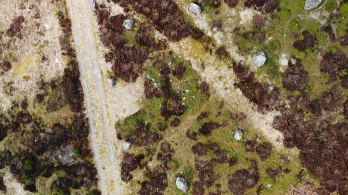
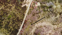
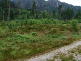
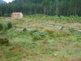
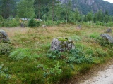
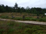
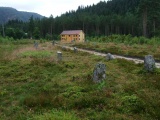
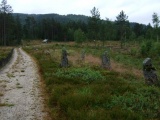
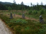
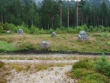
The site at Tingvatn is one of the most fascinating ancient sites in Vest-Agder. It is also one of the most valuable. It consists of two beautiful stone rings, one rectangular stone setting with rounded corners and two parallel rows of standing stones (probably the remains of a ship stone setting) and 6 round barrows.
The stone circles are probably grave markings from early iron age, only some parts of the site have been excavated.
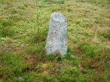
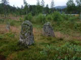
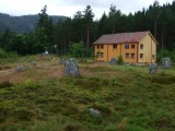
The stone circle to the north consists of seven standing stones and has a diameter of 15 metres The stones have a height of around 1 metre. The circle goes by several names: Sjusteinsringen, Skjelvarspranget and Holmgang Ring. The legend of the doomed young girl Skjelva is attached to the ring. She was condemned to death but she was promised to keep her life if she managed to jump from rock to rock around the ring. It is said that she managed all the jumps all the way to the final and decisive. Then she fell to the seventh stone and died. The distance between each of the stones is 6 metres.
Inside the stone circle was found a cremation grave. It contained nothing else than some burned human bones.
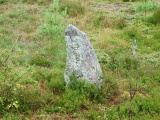
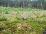
Immediately south of Skjelvarspranget is a large, square stone circle with rounded corners. It is called Offerringen (the Sacrifice Circle). This stone circle however, is made of very small stones laid out in the square pattern. Today almost all of the stones are hidden under the vegetation and only one single stone is possible to see. It appears as a single standing stone. It is around 70cm in height. This circle has never been excavated.
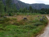
Farther south lies Nisteinsringen. This is also called the Judge's Ring. According to folklore, the judges sat on each stone where they would judge in litigation in court. This is however, probably just a myth, it is probably a grave marking same as the one to the north. The nine stones are around 1 metre in height and with around 5 metres between them. This ring has not been excavated.
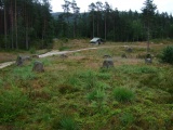
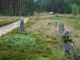
Between the two stone circles there are two parallel rows of standing stones. It consists of 11 standing stones, but it was originally made of more stones. They are from 1 to 1.7 metres in height. It is not certain what this is, but it is probably the remains of a ship formed stone setting like the one at Elgesem and Istrehågen in Larvik.
Around the stone circles and setting, there are seven round barrows. One is 20 metres in diameter and about 3 metres in height, the other 6 are smaller, around 5-10 metres in diameter.
The site is marked with information posters and a small parking lot can be found at the country road leading trough the site. The site has fences around and sheep are grazing inside to keep the vegetation down.
You may be viewing yesterday's version of this page. To see the most up to date information please register for a free account.
These are just the first 25 photos of Tingvatn Stone Circles. If you log in with a free user account you will be able to see our entire collection.
Do not use the above information on other web sites or publications without permission of the contributor.
Click here to see more info for this site
Nearby sites
Click here to view sites on an interactive map of the areaKey: Red: member's photo, Blue: 3rd party photo, Yellow: other image, Green: no photo - please go there and take one, Grey: site destroyed
Download sites to:
KML (Google Earth)
GPX (GPS waypoints)
CSV (Garmin/Navman)
CSV (Excel)
To unlock full downloads you need to sign up as a Contributory Member. Otherwise downloads are limited to 50 sites.
Turn off the page maps and other distractions
Nearby sites listing. In the following links * = Image available
595m WNW 303° Vehaugen-barrow* Round Barrow(s)
661m ESE 101° Kongshaugen-Rishaugen* Cairn
710m ESE 112° Varhauan* Cairn
1.8km SSW 212° Kollemo* Barrow Cemetery
5.7km SSW 194° Krosshaugen* Barrow Cemetery
5.9km SSW 195° Prestegarden-Bastuhaugen* Round Barrow(s)
6.1km SSW 194° Hægebostad-Lysthaugen* Round Barrow(s)
7.3km S 189° Snartemo* Round Barrow(s)
8.8km N 356° Allmenningen* Round Barrow(s)
9.2km N 354° Eiketuned-Haugen* Round Barrow(s)
9.4km N 354° Smidjehaugen* Round Barrow(s)
9.4km N 351° Hestebakkjen* Standing Stone (Menhir)
11.6km NNW 344° Boningshaugen* Barrow Cemetery
16.0km WSW 243° Åmotsmarka* Round Barrow(s)
17.3km E 95° Bjelland* Barrow Cemetery
17.5km ESE 102° Trygsland* Carving
22.3km WSW 238° Tinggrova* Stone Circle
26.5km NNE 21° Sosteli* Ancient Village or Settlement
26.9km NNE 23° Under Berget* Standing Stones
27.7km SSW 198° Fruberhauen og Kong Brings Haug* Barrow Cemetery
27.8km SE 143° Heddelandsmonen* Barrow Cemetery
28.1km SSW 197° Nygård* Barrow Cemetery
28.1km WSW 239° Feda* Round Barrow(s)
31.4km SE 143° Øyslebø Phallic Stone* Standing Stone (Menhir)
31.5km W 279° Ersdal Pagan Altar* Sculptured Stone
View more nearby sites and additional images


 We would like to know more about this location. Please feel free to add a brief description and any relevant information in your own language.
 Wir möchten mehr über diese Stätte erfahren. Bitte zögern Sie nicht, eine kurze Beschreibung und relevante Informationen in Deutsch hinzuzufügen.
 Nous aimerions en savoir encore un peu sur les lieux. S'il vous plaît n'hesitez pas à ajouter une courte description et tous les renseignements pertinents dans votre propre langue.
 Quisieramos informarnos un poco más de las lugares. No dude en añadir una breve descripción y otros datos relevantes en su propio idioma.