<< Our Photo Pages >> Yellowmead - Stone Circle in England in Devon
Submitted by TheCaptain on Friday, 23 May 2025 Page Views: 36196
Neolithic and Bronze AgeSite Name: Yellowmead Alternative Name: Sheepstor 4 (Grinsell); G30 (Turner); Yellowmead DownCountry: England County: Devon Type: Stone Circle
Nearest Town: Tavistock Nearest Village: Sheepstor
Map Ref: SX57486784 Landranger Map Number: 202
Latitude: 50.492983N Longitude: 4.010637W
Condition:
| 5 | Perfect |
| 4 | Almost Perfect |
| 3 | Reasonable but with some damage |
| 2 | Ruined but still recognisable as an ancient site |
| 1 | Pretty much destroyed, possibly visible as crop marks |
| 0 | No data. |
| -1 | Completely destroyed |
| 5 | Superb |
| 4 | Good |
| 3 | Ordinary |
| 2 | Not Good |
| 1 | Awful |
| 0 | No data. |
| 5 | Can be driven to, probably with disabled access |
| 4 | Short walk on a footpath |
| 3 | Requiring a bit more of a walk |
| 2 | A long walk |
| 1 | In the middle of nowhere, a nightmare to find |
| 0 | No data. |
| 5 | co-ordinates taken by GPS or official recorded co-ordinates |
| 4 | co-ordinates scaled from a detailed map |
| 3 | co-ordinates scaled from a bad map |
| 2 | co-ordinates of the nearest village |
| 1 | co-ordinates of the nearest town |
| 0 | no data |
Internal Links:
External Links:
I have visited· I would like to visit
whese001 angieweekender elad13 michelle_b007 ForestDaughter would like to visit
Marielizhall visited on 27th Jun 2025 - their rating: Cond: 3 Amb: 4 Access: 3
wildtalents visited on 5th Jul 2023 - their rating: Cond: 4 Amb: 5 Access: 2 I wandered fairly randomly towards the circle from a layby at the foot of Sheep Tor. Well, not so much a layby as the point where the road ceased.
The farmer was kind enough not to shoot me, and to direct me properly: "I see you've been using Google maps" he commented. He seemed to be settling in some guests at a holiday cottage.
On the way to the SC, about a ten minute walk from the farmer's gate, I encountered an eviscerated sheep. Or maybe sheep rot away apart from the wool and the horns? That's all that was left in any case. I saw something similar at Merrivale years ago (20+).
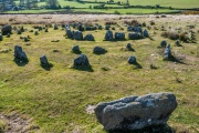
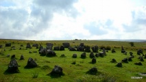
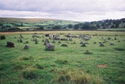
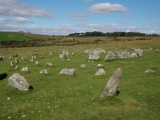
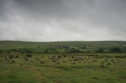
It's a little difficult to trace the outer circles at Yellowmead: there are clearly stones missing. That's probably true of the inner circle/s as well but the stones are much tighter together and it doesn't notice so much. I spent a happy half-hour in complete isolation until I saw the clouds crowding in and decided to trudge back before the rain started again.
Catrinm visited on 16th Jan 2022 - their rating: Cond: 4 Amb: 4 Access: 3 Second visit not so misty this time
lucasn visited on 24th Jun 2019 - their rating: Cond: 4 Amb: 4 Access: 3
Anne T visited on 15th May 2019 - their rating: Cond: 3 Amb: 4 Access: 3 Yellowmead Fourfold Stone Circle: This stone circle has long been on my wish-list, but I thought I’d never be able to see it, because access was described as being difficult.
Fortunately, Dave Parks and Sandy G had been here before and knew the pitfalls, selecting the right route for us. We were also extremely fortunate in coming here after a prolonged dry spell, so we encountered no boggy areas, apart from one by the stream on the way back to the car park.
By this time of the afternoon, I was hot and tired, and my feet ached really badly, but I was determined to see this stone circle. I should have swapped my walking boots for my wellies to make the walking a little softer on the soles of my feet, but stubbornly didn’t. Mistake. However, the walk to see this circle was well worth it, although I need to apologise to the rest of the group for being very grumpy on the way back. Also, by this time the sun had come out and everyone was getting sunburned, despite the continuous application of sun-screen.
It was really good to have the experts here to describe the monuments to us. Gordon and Dave Parks wandered off to see if they could find other stones in the stone row further to the WSW of the row, but the grass was knee high in this part of the meadow.
Andrew, on the way back to the pub after our epic trip, was saying that he didn’t think the stone circle was entirely genuine; his thinking was the Victorians had ‘beautified’ it for tourists, so I spent some time in the car pulling up the different websites. The stone circle is described as having been ‘faithfully restored’, but Andrew still has his doubts.
We all met up in the Prince of Wales in Princetown for a couple of ice cold pints, before dispersing for the evening. I confess to not recognising Sandy G in the bar, as he didn’t have his hat on – I’ve never seen him without it!
Catrinm visited on 20th Sep 2018 - their rating: Cond: 4 Amb: 4 Access: 3 Very misty and mysterious at Yellowmead
Nexos visited on 5th May 2018 - their rating: Amb: 4 Access: 3
graemefield visited on 29th Oct 2013 - their rating: Cond: 4 Amb: 5 Access: 3
SandyG visited on 18th Apr 2013 - their rating: Cond: 4 Amb: 4 Access: 3
jeffrep visited on 22nd May 2011 - their rating: Cond: 4 Amb: 4 Access: 3
BolshieBoris visited on 13th Aug 1997 - their rating: Cond: 4 Amb: 4 Access: 4 Strange concentric circles - a stone circle or the foundations for a massive hut?
Catrinm MikeGreen TheCaptain cazzyjane ArchAstro have visited here
Average ratings for this site from all visit loggers: Condition: 3.8 Ambience: 4.18 Access: 3
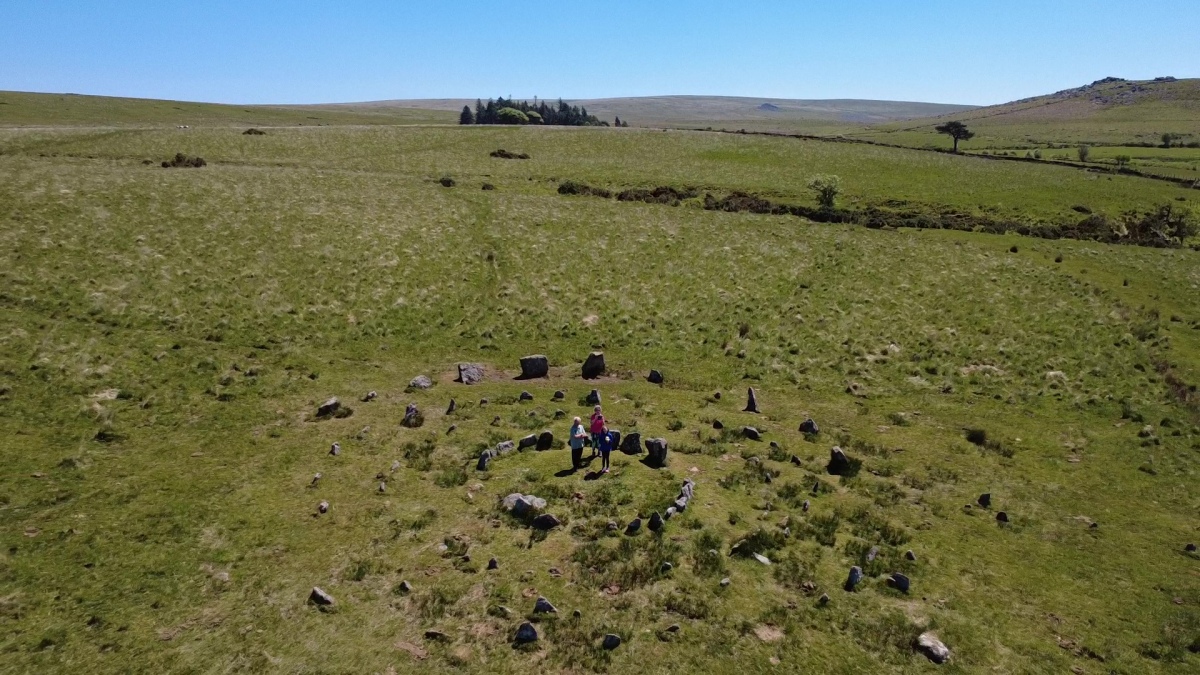
Marked as cairn circles on the OS map, about 20 minutes boggy walk from parking near what is known as the Scout Hut.
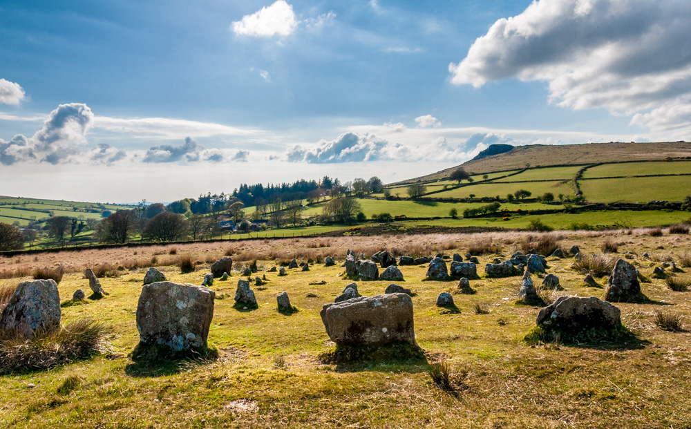
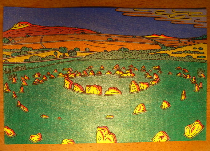
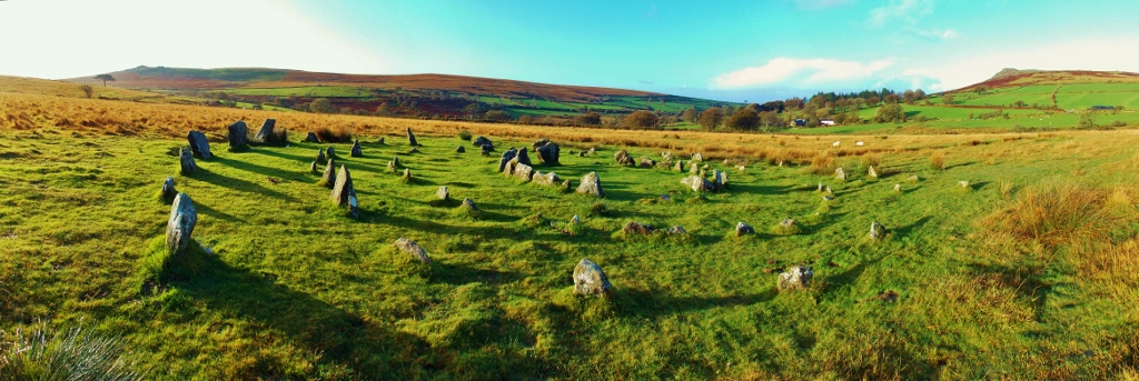
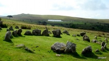
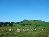
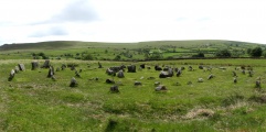
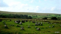
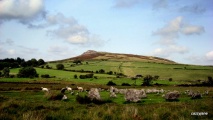
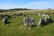
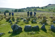
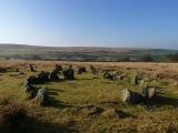
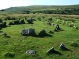
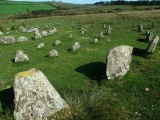
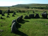
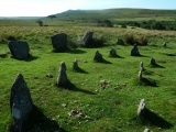
What an amazing site this is. There are several more stones arranged around the western circumference, which are possibly remnants of a series of rows that radiated outwards downhill from the circles. The innermost circle is about 6 metres in diameter, and made from nice slabs set closely to each other. The outer circles are made from slabs of varying size, with diameters increasing by about 5 metres a time. Some of the stones in the outer circle are very big by comparison to the majority. I found it almost impossible to get any photographs which do any justice to this site. A challenge set to you photographers out there.
A short distance uphill to the northeast from these circles is the remains of a small cairn, with a surrounding ring of stones (see nearby sites below).
Update July 2019: This site is recorded as Pastscape Monument No. 438550, and scheduled as Historic England List ID 1010212. Further information can also be found on Prehistoric Dartmoor Walks's Yellowmead Fourfold Stone Circle, and Stone Circles: Yellowmead.
The entry for Legendary Dartmoor: Yellowmead Circle gives us details of the discovery and restoration of this four-fold stone circle. "During the whole process only one was brought in from elsewhere and erected in the outer circle, (Petit, 1974, p.102)". Butler, in his "Dartmoor Atlas of Antiquities", volume 3, page 74 also includes a description and plan of the stone circle. The stone circle is also featured on the Stone Rows of Great Britain website - see their entry for Yellowmead Down Stone Row, which also includes a plan of the stone circle and its row(s).
Note:
You may be viewing yesterday's version of this page. To see the most up to date information please register for a free account.



These are just the first 25 photos of Yellowmead. If you log in with a free user account you will be able to see our entire collection.
Do not use the above information on other web sites or publications without permission of the contributor.
Click here to see more info for this site
Nearby sites
Key: Red: member's photo, Blue: 3rd party photo, Yellow: other image, Green: no photo - please go there and take one, Grey: site destroyed
Download sites to:
KML (Google Earth)
GPX (GPS waypoints)
CSV (Garmin/Navman)
CSV (Excel)
To unlock full downloads you need to sign up as a Contributory Member. Otherwise downloads are limited to 50 sites.
Turn off the page maps and other distractions
Nearby sites listing. In the following links * = Image available
3m NE 40° Yellowmead row* Multiple Stone Rows / Avenue (SX5748267842)
56m ENE 64° Yellowmead cairn* Cairn (SX5753167863)
306m ESE 108° Yellowmead ring cairn* Ring Cairn (SX57776774)
632m SE 144° Gutter Tor Roundhouse* Ancient Village or Settlement (SX57846732)
666m NE 48° Outholme Newtake* Cist (SX57996827)
729m SSE 163° Gutter Tor north* Cairn (SX5767667137)
1.0km S 171° Gutter Tor South* Cist (SX5760966828)
1.1km SSW 203° Gutter Tor West Cairn* Cairn (SX57026682)
1.2km E 89° Leeden (Sheepstor)* Cairn (SX5869267838)
1.3km NE 47° Cuckoo Rock (Dartmoor)* Rock Art (SX5846668715)
1.3km SE 126° Whittenknowles Rocks* Ancient Village or Settlement (SX5852867024)
1.4km W 260° St Leonard's Well (Sheepstor)* Holy Well or Sacred Spring (SX5607467630)
1.5km SW 216° Ringmoor Cottage Kerb Cairn Cairn (SX56596668)
1.5km NE 37° Down Tor Circular Settlement* Ancient Village or Settlement (SX5840069000)
1.5km SE 125° Drizzlecombe Brook* Marker Stone (SX5870966946)
1.5km W 261° Roman Cross (Sheepstor)* Ancient Cross (SX5595967653)
1.6km NNE 20° Down Tor Cist* Cist (SX58046929)
1.7km SE 145° Propped Stone at Eastern Tor* Natural Stone / Erratic / Other Natural Feature (SX58416645)
1.7km SE 141° Eastern Tor settlement* Ancient Village or Settlement (SX5852966487)
1.8km ESE 119° Drizzlecombe stone 4* Standing Stone (Menhir) (SX58996694)
1.8km E 100° Drizzlecombe cist 21* Cist (SX5922867476)
1.8km ESE 109° Drizzlecombe cairn 13* Cist (SX5915167208)
1.8km ESE 112° Drizzlecombe cairn 14* Cairn (SX5912767137)
1.9km ESE 120° Drizzlecombe menhir 1* Standing Stone (Menhir) (SX5905766860)
1.9km ESE 116° Drizzlecombe menhir 3* Standing Stone (Menhir) (SX5913566986)
View more nearby sites and additional images


 We would like to know more about this location. Please feel free to add a brief description and any relevant information in your own language.
 Wir möchten mehr über diese Stätte erfahren. Bitte zögern Sie nicht, eine kurze Beschreibung und relevante Informationen in Deutsch hinzuzufügen.
 Nous aimerions en savoir encore un peu sur les lieux. S'il vous plaît n'hesitez pas à ajouter une courte description et tous les renseignements pertinents dans votre propre langue.
 Quisieramos informarnos un poco más de las lugares. No dude en añadir una breve descripción y otros datos relevantes en su propio idioma.