


Kealkil
Submitted by Anthony_Weir on Thursday, 21 October 2021 Page Views: 35474
Neolithic and Bronze AgeSite Name: KealkilCountry: Ireland (Republic of) County: Co. Cork Type: Stone Circle
Nearest Town: Bantry Nearest Village: Kealkil
Map Ref: W0538155588
Discovery Map Number: D85
Latitude: 51.745220N Longitude: 9.370662W
Condition:
| 5 | Perfect |
| 4 | Almost Perfect |
| 3 | Reasonable but with some damage |
| 2 | Ruined but still recognisable as an ancient site |
| 1 | Pretty much destroyed, possibly visible as crop marks |
| 0 | No data. |
| -1 | Completely destroyed |
| 5 | Superb |
| 4 | Good |
| 3 | Ordinary |
| 2 | Not Good |
| 1 | Awful |
| 0 | No data. |
| 5 | Can be driven to, probably with disabled access |
| 4 | Short walk on a footpath |
| 3 | Requiring a bit more of a walk |
| 2 | A long walk |
| 1 | In the middle of nowhere, a nightmare to find |
| 0 | No data. |
| 5 | co-ordinates taken by GPS or official recorded co-ordinates |
| 4 | co-ordinates scaled from a detailed map |
| 3 | co-ordinates scaled from a bad map |
| 2 | co-ordinates of the nearest village |
| 1 | co-ordinates of the nearest town |
| 0 | no data |
22 photos by 10 photographers
In The Old Stones Book: p.366
In The Old Stones Book: p.366
Internal Links:


External Links:


I have visited· I would like to visit
PAB rrmoser would like to visit
George998 visited on 1st Jul 2026
kith visited on 1st Jan 2007
SteveC visited on 5th May 2006
mark_a have visited here
Log in or create a free account to see how our visitors rate this site for condition, ambience and access, and to record your own visits.
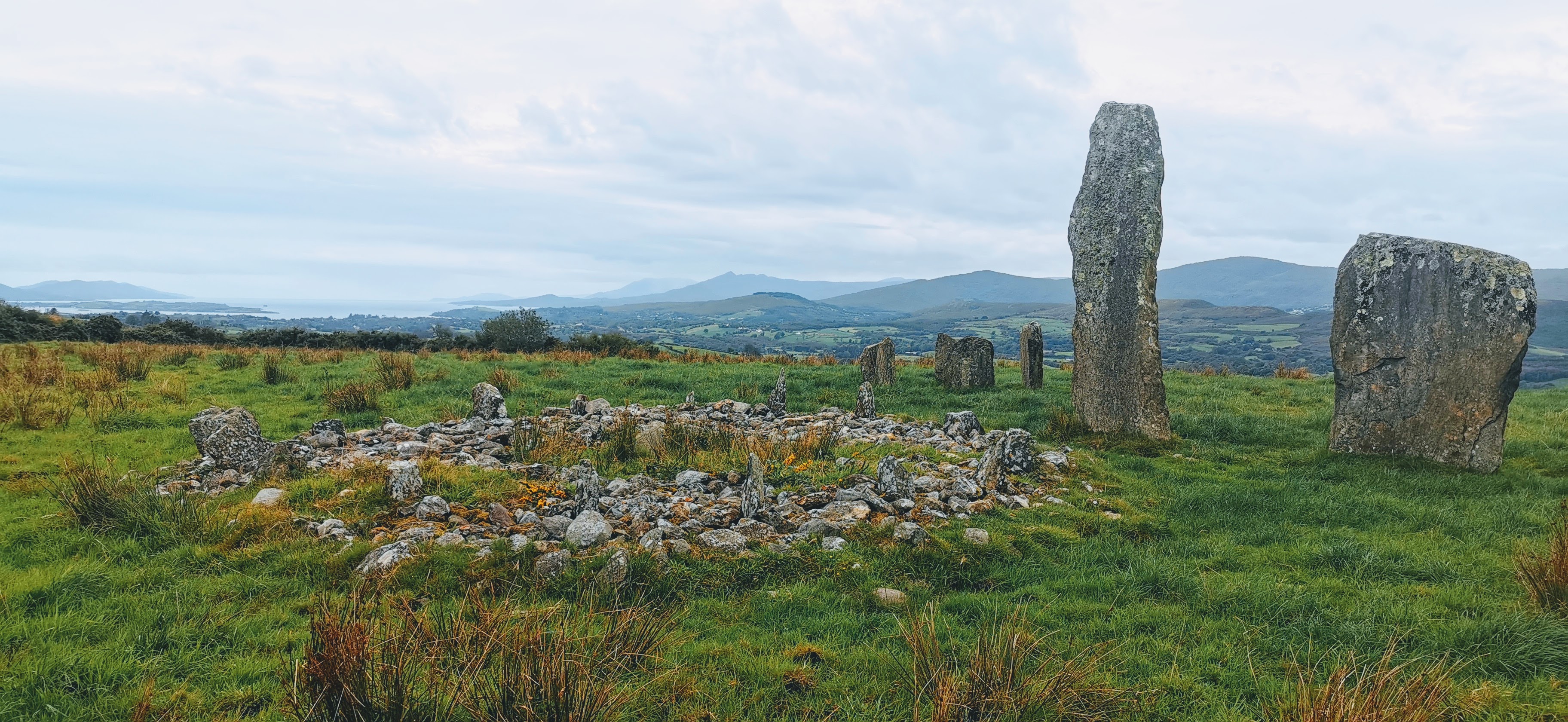
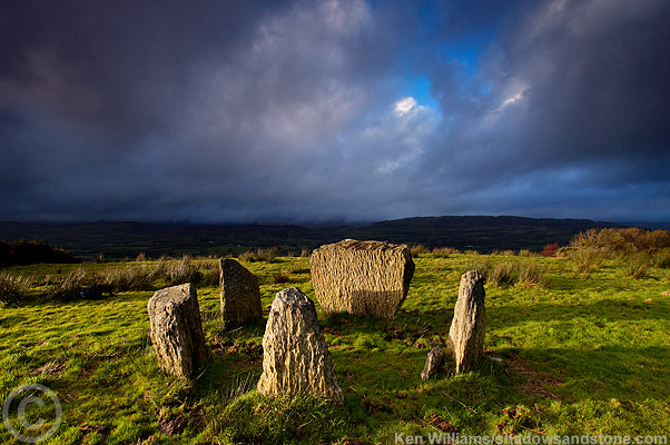
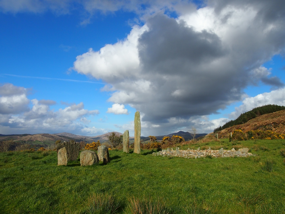
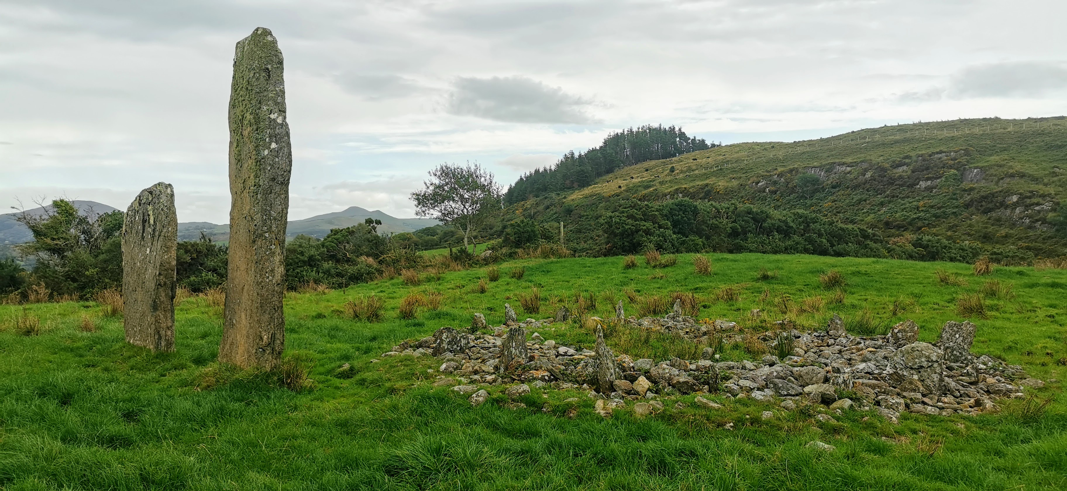
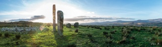
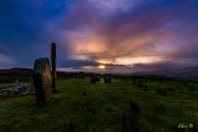
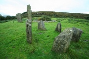
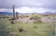
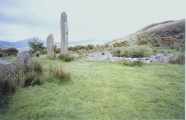
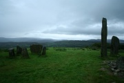
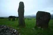
Like most alignments, the 2 outliers 1.5m (5ft) apart are on a NE-SW axis, parallel with that of the circle.
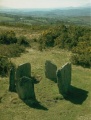
2.13 (7ft) away to the S of the outliers is a 7.9m (26ft) diameter cairn of stones incorporating a circle of 18 low uprights (or sockets for uprights) set radially (see also Knockraheen under Scrahanard).
In the past there has been a "Beware of the Bull" sign. This may be a self-referencing sign as there is no evidence of taurean occupation but it would nevertheless seem prudent to get the farmer's permission!
Access: Half a mile SE of Kealkill village and about 180m NE of a sharp steep byroad. The tops of the standing stones are just visible from the road. From the Catholic Church in the village you may be able to see it on the skyline.
You may be viewing yesterday's version of this page. To see the most up to date information please register for a free account.





Do not use the above information on other web sites or publications without permission of the contributor.
Click here to see more info for this site
Log in or create a free account to see nearby ancient sites our visitors rate highly
All Nearby sites
Download sites to:
KML (Google Earth)
GPX (GPS waypoints)
CSV (Garmin/Navman)
CSV (Excel)
To unlock full downloads you need to sign up as a Society Member. Otherwise downloads are limited to 50 sites.

Turn off the page maps and other distractions
Nearby sites listing. In the following links * = Image available
444m SW 221° Breeney More* Stone Circle (W05085526)
1.9km S 183° Derryarkane Stone Circle (W05255374)
2.0km ESE 121° Ardrah Stone Row* Stone Row / Alignment (W0710854517)
2.3km NW 317° Ahil More standing stone* Standing Stone (Menhir) (W03835729)
3.0km E 85° Maughanaclea* Stone Circle (W08355580)
3.0km E 83° Maughanaclea Centre* Stone Circle (W08385588)
3.0km NNW 338° Maughanasilly* Stone Row / Alignment (W0431958413)
3.0km SW 219° Cappanaboul* Stone Circle (W0343753265)
3.1km ESE 105° Ardrah wedge tomb* Wedge Tomb (W08365472)
3.2km ENE 60° Cahermuckee* Standing Stones (W08245714)
3.4km W 275° Trawnamaddree Stone Row / Alignment (W01975597)
3.6km ESE 109° Gortnacowly four poster* Standing Stones (W08785435)
3.6km ENE 78° Maughanclea SW* Stone Circle (W08945630)
4.0km NNW 348° Illane.* Stone Circle (W04595951)
4.4km WSW 238° Crossoge wedge tomb* Wedge Tomb (W01555331)
4.9km ESE 116° Barnagowlane West wedge tomb* Wedge Tomb (W09795336)
5.0km ESE 112° Coomleagh East* Stone Row / Alignment (W10005361)
5.1km ENE 79° Maughanclea NE* Stone Circle (W104565)
5.2km WSW 256° Dromkeal* Stone Circle (W00315445)
5.5km SSE 153° Coomanore South* Standing Stones (W07815063)
5.9km ENE 78° Cousane* Stone Circle (W11205670)
6.1km ESE 107° An Com Liath Thoir standing stone* Standing Stone (Menhir) (W11155365)
6.1km ESE 109° CoomleaghEast standing stone* Standing Stone (Menhir) (W11145353)
6.2km NE 40° Cappaboy Beg Stone Row / Alignment (W0944060275)
6.3km NNE 25° Cappaboy Beg NW* Stone Circle (W0811961229)
View more nearby sites and additional images


 We would like to know more about this location. Please feel free to add a brief description and any relevant information in your own language.
 Wir möchten mehr über diese Stätte erfahren. Bitte zögern Sie nicht, eine kurze Beschreibung und relevante Informationen in Deutsch hinzuzufügen.
 Nous aimerions en savoir encore un peu sur les lieux. S'il vous plaît n'hesitez pas à ajouter une courte description et tous les renseignements pertinents dans votre propre langue.
 Quisieramos informarnos un poco más de las lugares. No dude en añadir una breve descripción y otros datos relevantes en su propio idioma.