


Tuilyies
Submitted by enkidu41 on Friday, 04 May 2012 Page Views: 36812
Neolithic and Bronze AgeSite Name: Tuilyies Alternative Name: TorryburnCountry: Scotland
NOTE: This site is 0.7 km away from the location you searched for.
County: Fife Type: Standing Stones
Nearest Town: Dunfermline Nearest Village: Tuilyies
Map Ref: NT02918658 Landranger Map Number: 65
Latitude: 56.062175N Longitude: 3.560845W
Condition:
| 5 | Perfect |
| 4 | Almost Perfect |
| 3 | Reasonable but with some damage |
| 2 | Ruined but still recognisable as an ancient site |
| 1 | Pretty much destroyed, possibly visible as crop marks |
| 0 | No data. |
| -1 | Completely destroyed |
| 5 | Superb |
| 4 | Good |
| 3 | Ordinary |
| 2 | Not Good |
| 1 | Awful |
| 0 | No data. |
| 5 | Can be driven to, probably with disabled access |
| 4 | Short walk on a footpath |
| 3 | Requiring a bit more of a walk |
| 2 | A long walk |
| 1 | In the middle of nowhere, a nightmare to find |
| 0 | No data. |
| 5 | co-ordinates taken by GPS or official recorded co-ordinates |
| 4 | co-ordinates scaled from a detailed map |
| 3 | co-ordinates scaled from a bad map |
| 2 | co-ordinates of the nearest village |
| 1 | co-ordinates of the nearest town |
| 0 | no data |
In The Old Stones Book: p.285
Internal Links:


External Links:


I have visited· I would like to visit
Glaschu visited on 25th Jul 2025 Access is harder than it looks. It's right by the road, easily visible and with parking places. But there's a barbed wire fence which is difficult to get past. I found one end by the bridge was low enough to step over, then there's a steep hill down over rough ground with nettles, followed by a second barbed wire fence but with a wooden bit you can climb over. It may be a short walk but it's not that easy
Anne T visited on 2nd Nov 2018 The Tuilyies Stone Setting: There is a small layby on the A985, right by the stones, but as there was no direct entrance into the field, we ended up walking along the grass verge down to where the wire fence is jointed to a wooden one. This is by a small clump of trees, at NT 02801 86657, where we succeeded in clambering over the fence.
The stones are set in a very ‘lumpy and bumpy’ field that looks like it has several building platforms and banks within it, but no structures are visible.
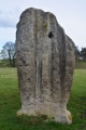
The tall stone to the north north west of the setting of three stones is tall and impressive (although thin) with the eastern face peppered in cup marks.
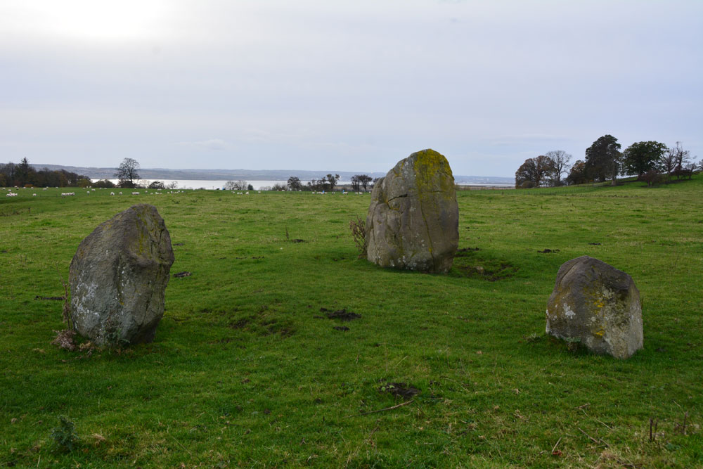
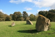
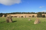
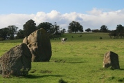
Combined with the three stones to the south south east reminded us somewhat of the stone setting at Kilmartin. I amused myself by standing behind the taller stone trying to line it up with the three smaller ones, but there was always one stone hidden from view, behind the larger stone.
The Firth of Forth glinted in the sunlight to the south. Shame about the proximity to the main road.
hamish have visited here
Log in or create a free account to see how our visitors rate this site for condition, ambience and access, and to record your own visits.
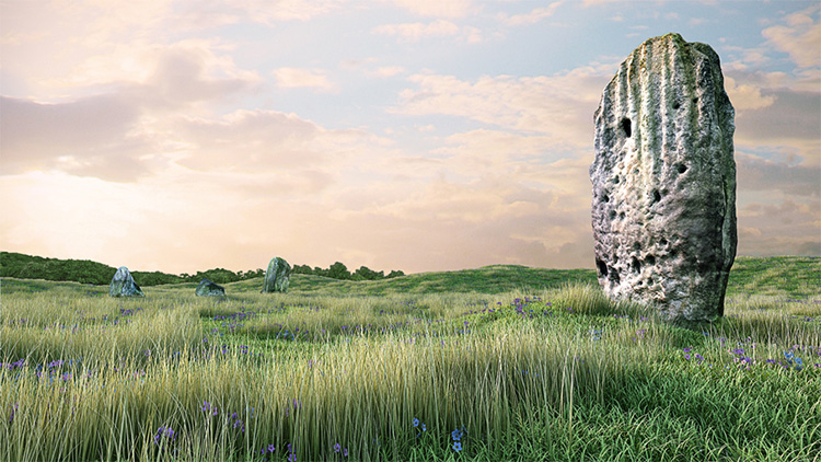
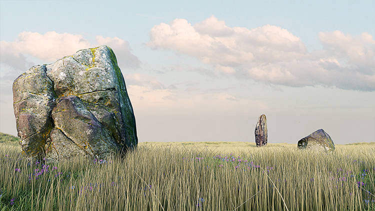
The other 3 stones due south of the standing stone are unmarked boulders forming a triangle with sides 12, 15 and 16 feet across. The four stones do not form a circle but there is little doubt that they are the remains of a Bronze Age sacred site.
The name "Tuilyies" is a corruption of the Scottish word "tulzie" signifying a fight. The stones are said to mark the graves of cheiftains who died here in an alleged battle.
For more information see Canmore ID 49451 which adds: "These four stones are said to be the remains of a circle, although that idea is not borne out by their present disposition. The cup marked stone rises to a height of 8', and has its narrow faces to the NE and SW. It is of irregular form. On the E face, the lower portion is covered with cup marks which vary from 1 1/2" to 5" in diameter and 1 1/2" to 2" in depth. The stone is also marked with a series of perpendicular grooves, but all these channels are due to weathering ..... This spectacular stone is 2.4m in height and is decorated with many cup-markings on its east sidei the deeply weathered grooves, which are its most noticeable feature, are, however, natural. In the absence of excavation, the boulder setting a little to the south cannot be satisfactorily explained ..... there seems little doubt that they mark a Bronze Age sacred site."
The Northern Antiquarian (TNA) also features a page for this site - see their entry for Tuilyies, Torryburn, Fife, which gives directions for finding this site together with photographs, an image of the 1854 OS map showing the location of the stones, a brief archaeology & history taken from a number of 19th and 20th century historical references and local folklore.
Note: Tuilyies stones used as a pilot project to create accurate retopologised 3D models from photogrammetry - video and images below
You may be viewing yesterday's version of this page. To see the most up to date information please register for a free account.







These are just the first 25 photos of Tuilyies. If you log in with a free user account you will be able to see our entire collection.
Do not use the above information on other web sites or publications without permission of the contributor.
Click here to see more info for this site
All Nearby sites
 Click here to view sites on an interactive OS map
Download sites to:
KML (Google Earth)
GPX (GPS waypoints)
CSV (Garmin/Navman)
CSV (Excel)
To unlock full downloads you need to sign up as a Society Member. Otherwise downloads are limited to 50 sites.
Turn off the page maps and other distractions
Nearby sites listing. In the following links * = Image available
5.3km N 5° Bandrum* Standing Stones (NT03489187)
5.8km S 182° Carriden Roman Fort and settlement Ancient Village or Settlement (NT02588079)
6.0km S 191° Muirhouses Camp Ancient Village or Settlement (NT01688071)
6.2km SSW 205° Kinglass Park Marching Camp Ancient Village or Settlement (NT00178097)
6.7km WNW 299° Castle Hill (Culross) Hillfort (NS97118992)
6.9km N 10° Saline hillfort* Hillfort (NT04289335)
8.1km SW 218° Kinneil Fortlet Ancient Village or Settlement (NS97748031)
8.1km W 275° Gubber Hill Standing Stone (Menhir) (NS948875)
8.5km E 90° Pitcorthie.* Standing Stone (Menhir) (NT11398633)
8.9km E 95° North Wood (Dunfermline)* Cairn (NT11788565)
9.1km SE 144° Abercorn* Sculptured Stone (NT08147910)
9.3km WNW 287° Tulliallan Castle Sculptured Stone (NS94058952)
9.5km W 278° Greenfield Park, Alloa Stone Row / Alignment (NS935882)
9.8km SSW 195° Cross Well (Linlithgow)* Holy Well or Sacred Spring (NT0021677170)
9.8km W 274° Market Cross (Kincardine)* Ancient Cross (NS9312087515)
9.9km SW 222° Inveravon Temporary Camps 1 & 2 Ancient Village or Settlement (NS96117933)
9.9km SW 225° Inveravon Roman Camp Ancient Village or Settlement (NS95777965)
10.0km SSW 195° Linlithgow Camp Ancient Village or Settlement (NT00057700)
10.4km SSE 149° Justice Stone Standing Stone (Menhir) (NT08087759)
10.4km SSW 202° The Boarstane (Linlithgow) Standing Stone (Menhir) (NS98757706)
10.4km SW 227° Inveravon Roman Fort Ancient Village or Settlement (NS95107969)
11.1km SW 225° Polmonthill Temporary Camp Ancient Village or Settlement (NS94867895)
11.3km ENE 61° St Ninians Fife Earth Project* Modern Stone Circle etc (NT129919)
11.5km SW 227° Little Kerse Temporary Camp Ancient Village or Settlement (NS94327892)
11.8km SSW 198° Williamcraigs Standing Stone* Natural Stone / Erratic / Other Natural Feature (NS99037544)
View more nearby sites and additional images

 We would like to know more about this location. Please feel free to add a brief description and any relevant information in your own language.
 Wir möchten mehr über diese Stätte erfahren. Bitte zögern Sie nicht, eine kurze Beschreibung und relevante Informationen in Deutsch hinzuzufügen.
 Nous aimerions en savoir encore un peu sur les lieux. S'il vous plaît n'hesitez pas à ajouter une courte description et tous les renseignements pertinents dans votre propre langue.
 Quisieramos informarnos un poco más de las lugares. No dude en añadir una breve descripción y otros datos relevantes en su propio idioma.