[< Gallery Home | Latest Images | Top 100 | Submit Picture >]
260009 Pictures
|
<< Previous Picture | Next Picture >>

| Submitted by | Andy B |
| Added | Mar 25 2020 |
| Hits | 175 |
| Votes | 0 |
Description
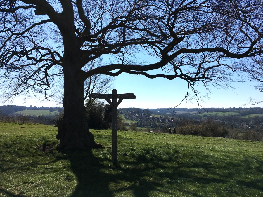
This is the centre of the downs near the highest point. The map calls this tree 'The Folly' for some reason. Could that be an elusive Iron Age field boundary - not according to the map - it seems I'm starting to imagine them!
No comments. Why don't you go ahead and post one!
To post comments first you must Register!
