[< Gallery Home | Latest Images | Top 100 | Submit Picture >]
277113 Pictures
|
<< Previous Picture | Next Picture >>
Description
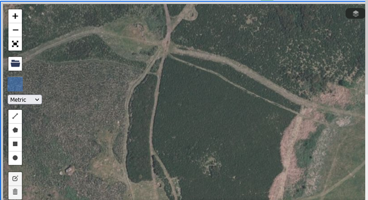
Also check the satellite view, the 2 features bottom left are the pos Cairn & Cairn - near the circle. The feature near the top left, clearly cut by the path (as is often mentioned) occupies the area now called a pond. The small feature right of it being the Mortar Pit - more evidence that the feature is too far from the circles to be the ring Cairn. Look at the distance between the Circle and the 2 features (Cairns) - they reflect that shown on the ground and the HER map. FYI centre bottom is another Mortar pit on the edge of the circle too.
No comments. Why don't you go ahead and post one!
To post comments first you must Register!

