

The Megalithic Portal Maps
Membership - Support the PortalBrowse by region · 3D Globe · Country Level Map · Explore Map · OS Map · Classic Megalith Map
Choose your map view
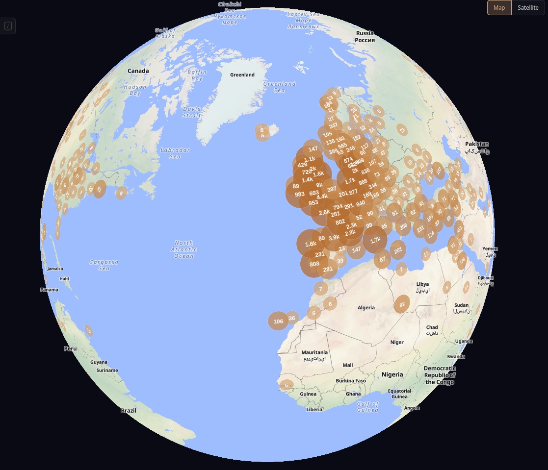
3D Globe
Spin the Earth in 3D: 65,000 ancient sites, satellite imagery, heatmaps and a timeline. Free 20-minute preview; members get unlimited access.
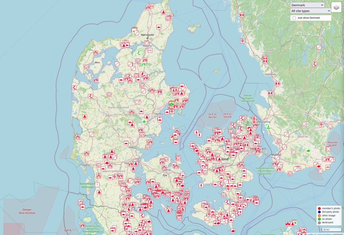
Country Level Map
Jump straight to any country - Denmark shown here. Pick one from the list to explore its ancient sites:
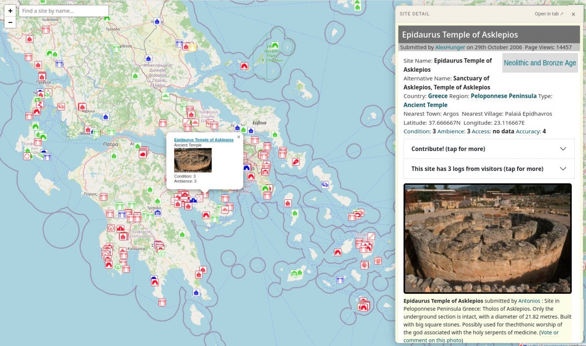
Explore Map
Detailed marker map of ancient sites worldwide. Pan and zoom to load the sites in view and filter by type - start over Britain and Ireland or jump across to Greece.
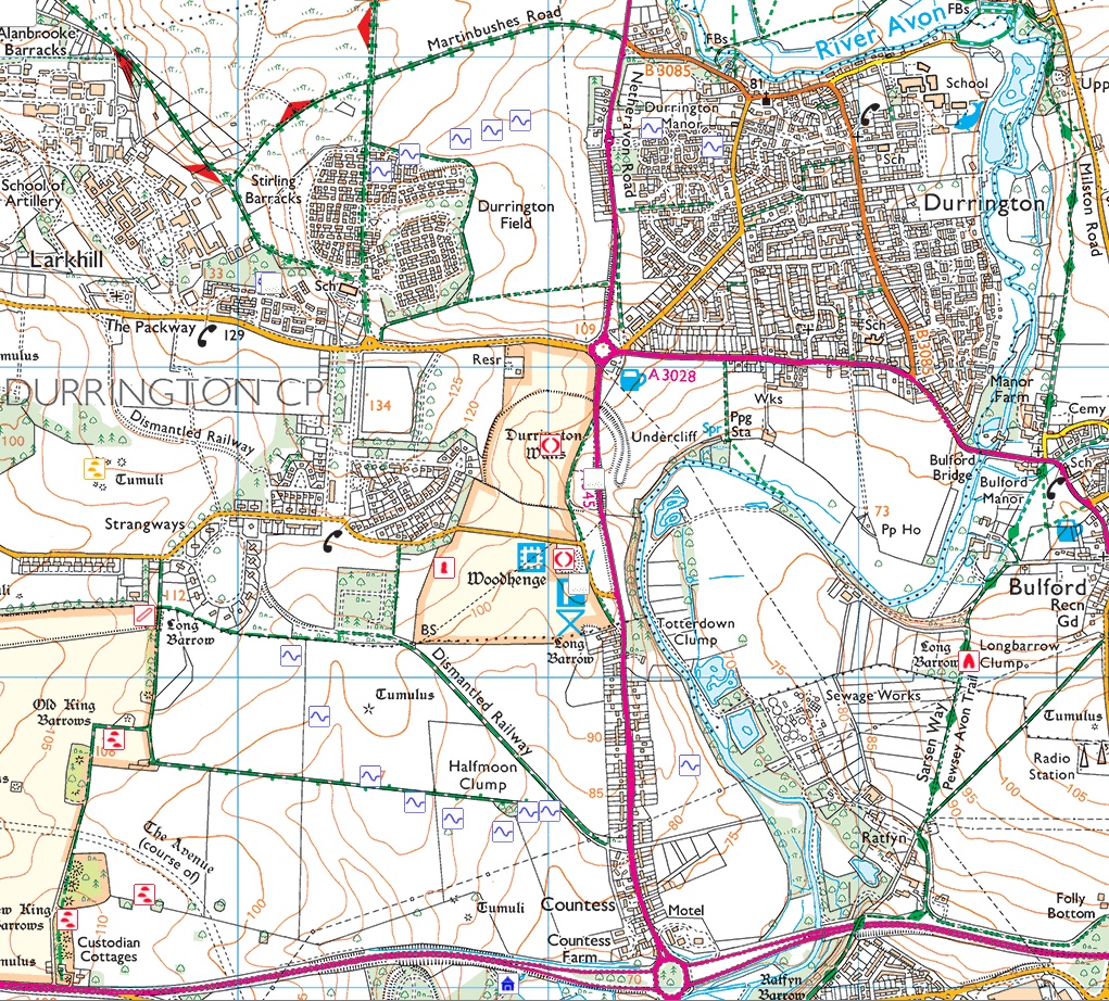
OS Map Friend+
Ordnance Survey's National Grid look - field boundaries, footpaths and contours for serious UK field-trip planning.

Classic Megalith Map
The original Megalith Map from 2001, recommended by Aubrey Burl. Clickable UK & Ireland grid, filter sites by condition, ambience and access. Still fully functional.
More Map and Search options
For exploring The Megalith Map we recommend SDVH.co.uk as your vehicle rental supplier.