<< Our Photo Pages >> Quinloch Muir Hillfort - Hillfort in Scotland in Stirling
Submitted by Pericles on Tuesday, 25 August 2020 Page Views: 1028
Iron Age and Later PrehistorySite Name: Quinloch Muir HillfortCountry: Scotland County: Stirling Type: Hillfort
Nearest Town: Glasgow Nearest Village: Blanefield
Map Ref: NS51508134
Latitude: 56.001940N Longitude: 4.382921W
Condition:
| 5 | Perfect |
| 4 | Almost Perfect |
| 3 | Reasonable but with some damage |
| 2 | Ruined but still recognisable as an ancient site |
| 1 | Pretty much destroyed, possibly visible as crop marks |
| 0 | No data. |
| -1 | Completely destroyed |
| 5 | Superb |
| 4 | Good |
| 3 | Ordinary |
| 2 | Not Good |
| 1 | Awful |
| 0 | No data. |
| 5 | Can be driven to, probably with disabled access |
| 4 | Short walk on a footpath |
| 3 | Requiring a bit more of a walk |
| 2 | A long walk |
| 1 | In the middle of nowhere, a nightmare to find |
| 0 | No data. |
| 5 | co-ordinates taken by GPS or official recorded co-ordinates |
| 4 | co-ordinates scaled from a detailed map |
| 3 | co-ordinates scaled from a bad map |
| 2 | co-ordinates of the nearest village |
| 1 | co-ordinates of the nearest town |
| 0 | no data |
Internal Links:
External Links:
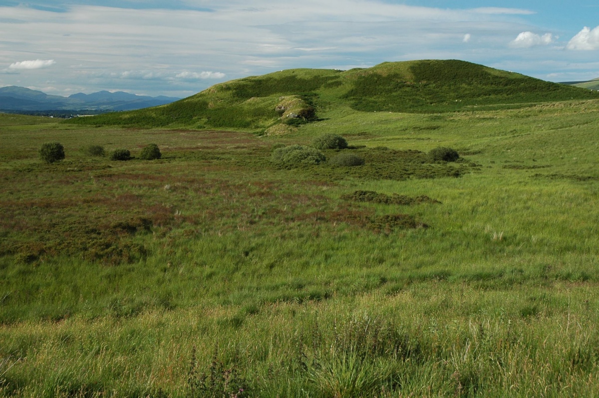
This is a small vitrified hillfort located on the last edge of the Braes as it trails northwards. The Canmore site contains all the known research and description available and I quote below from its most recent (2106) entry:
" . . . This small fortification encloses the summit of a hillock named Quinlockmore, forming the N spur of the highest part of Quinlock Muir. Kite-shaped on plan, it measures 36m from NW to SE by a maximum of 28m transversely (0.07ha) within a rampart about 3.5m in thickness, though this is largely reduced to a stony scarp up to 3m in height from which several lumps of vitrified rock protrude through the turf. There are entrances on the NW and SE respectively, the latter opening onto a rocky spine that drops gently down into the saddle on this side of the hillpock. On the NW, however, the entrance descends to a natural terrace about 8m broad, along the leading edge of which a second rampart can be traced from the NW round to the E flank of the hillock; on the N it is accompanied by an external rock-cut ditch 2m deep. The interior of the fort is featureless . . ."
https://canmore.org.uk/site/44607/quinloch-muir
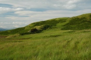
To visit, park up at the nearby Quenn's View carpark, cross the busy A809 road and hop over the low stony wall to pick up the dribble of a path across the moor. The hillfort lies about 20 minutes rough walking and while its features might not be readily apparent to the casual eye (they weren't to me when I first visited it!), the views are more than worth it.
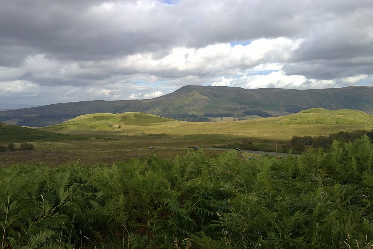
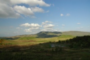
To the east lies the vast escarpment of the Campsies with the strath or river valley of the Blane below. Closer rises the heavily wooded hill of Dumgoyach crouching over the West Highland Way like a slumbering beast. Northwards you will see the expanse of Quinloch Muir itself which is rough and tussocky. About 15 minutes hike into this moor lies a small cluster of standing stones and a possible chambered cairn.
Westwards, back towards the carpark, lies Katythirsty Hill and the ancient sacred well, while beyond on the other side of the carpark is the Whangie out of sight.
The hillfort is worth a visit for the views and the sense of how this fort stood watch over the arable land northwards up towards Loch Lomond and the Highlands. It was a sentinel which guarded this western entrance to the strath of the Blane river. Invading forces only had two routes to move southward towards the rich fertile Clyde regions due to the massive upland bastion which is the Campsies (the Wall in the north): eastwards via the Stirling route to then move up towards Blanefield or westwards around the edge here and then again towards Blanefield.
You may be viewing yesterday's version of this page. To see the most up to date information please register for a free account.




Do not use the above information on other web sites or publications without permission of the contributor.
Click here to see more info for this site
Nearby sites
Key: Red: member's photo, Blue: 3rd party photo, Yellow: other image, Green: no photo - please go there and take one, Grey: site destroyed
Download sites to:
KML (Google Earth)
GPX (GPS waypoints)
CSV (Garmin/Navman)
CSV (Excel)
To unlock full downloads you need to sign up as a Contributory Member. Otherwise downloads are limited to 50 sites.
Turn off the page maps and other distractions
Nearby sites listing. In the following links * = Image available
462m NW 326° Quinloch Muir Stones* Standing Stones (NS5125181730)
1.9km ESE 107° Blanefield* Stone Row / Alignment (NS53288072)
2.0km SE 134° Craigmore Cottage Standing Stones (NS529799)
2.4km WSW 251° The Whangie* Natural Stone / Erratic / Other Natural Feature (NS49238066)
3.2km S 172° Craigenkirn (New Kilpatrick) Cairn (NS5183978157)
3.6km W 268° Aucheneck* Chambered Cairn (NS4793681308)
5.3km ESE 110° Strathblane Churchyard* Standing Stone (Menhir) (NS5638779375)
5.4km ENE 58° Earl’s Seat Cairn* Cairn (NS562840)
5.4km SE 139° Echo Stone (Mugdock) Natural Stone / Erratic / Other Natural Feature (NS54937710)
5.6km ESE 109° Broadgate (Strathblane) Chambered Cairn (NS56747934)
5.6km W 261° Shiels of Gartlea* Chambered Cairn (NS459807)
5.7km ESE 109° Broadgate 2 Cairn (NS568793)
5.7km W 270° Lang Cairn* Chambered Cairn (NS458815)
5.7km ESE 108° Broadgate Farm (Strathblane)* Standing Stone (Menhir) (NS5692979402)
6.4km W 277° Gallangad Muir Standing Stone* Standing Stone (Menhir)
6.4km SE 125° Loch Ardinning (Mugdock) Rock Art (NS567775)
6.6km SE 134° Middleton Row Stone Row / Alignment (NS561766)
7.3km S 179° Whitehill 5* Rock Art (NS51387403)
7.4km S 180° Whitehill 4* Rock Art (NS51307398)
7.4km S 186° Cochno Crags* Natural Stone / Erratic / Other Natural Feature (NS50487401)
7.5km S 181° Whitehill 3* Rock Art (NS51157386)
7.5km S 187° Auchnacraig Stone Circle* Stone Circle (NS50347391)
7.5km S 186° The Cochno Stone* Rock Art (NS50457388)
7.8km S 187° Auchnacraig 1* Rock Art (NS50287365)
7.8km S 187° Auchnacraig 4* Rock Art (NS50297362)
View more nearby sites and additional images
Hut Circle Settlement West of Treforys deserted quarry village >>


 We would like to know more about this location. Please feel free to add a brief description and any relevant information in your own language.
 Wir möchten mehr über diese Stätte erfahren. Bitte zögern Sie nicht, eine kurze Beschreibung und relevante Informationen in Deutsch hinzuzufügen.
 Nous aimerions en savoir encore un peu sur les lieux. S'il vous plaît n'hesitez pas à ajouter une courte description et tous les renseignements pertinents dans votre propre langue.
 Quisieramos informarnos un poco más de las lugares. No dude en añadir una breve descripción y otros datos relevantes en su propio idioma.