<< Our Photo Pages >> Wadi Paran ancient agriculture terraces, matseboth and Rock art - Ancient Village or Settlement in Israel
Submitted by motist on Saturday, 26 June 2010 Page Views: 4757
Multi-periodSite Name: Wadi Paran ancient agriculture terraces, matseboth and Rock artCountry: Israel Type: Ancient Village or Settlement
Nearest Town: Mitzpe Ramon Nearest Village: Paran
Latitude: 30.231469N Longitude: 34.809971E
Condition:
| 5 | Perfect |
| 4 | Almost Perfect |
| 3 | Reasonable but with some damage |
| 2 | Ruined but still recognisable as an ancient site |
| 1 | Pretty much destroyed, possibly visible as crop marks |
| 0 | No data. |
| -1 | Completely destroyed |
| 5 | Superb |
| 4 | Good |
| 3 | Ordinary |
| 2 | Not Good |
| 1 | Awful |
| 0 | No data. |
| 5 | Can be driven to, probably with disabled access |
| 4 | Short walk on a footpath |
| 3 | Requiring a bit more of a walk |
| 2 | A long walk |
| 1 | In the middle of nowhere, a nightmare to find |
| 0 | No data. |
| 5 | co-ordinates taken by GPS or official recorded co-ordinates |
| 4 | co-ordinates scaled from a detailed map |
| 3 | co-ordinates scaled from a bad map |
| 2 | co-ordinates of the nearest village |
| 1 | co-ordinates of the nearest town |
| 0 | no data |
Internal Links:
External Links:
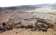
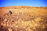
Wadi Paran is the longest in Israel ,its upper tributaries are in central Sinai peninsula and it collects big amount of runoff water. Its permit a seasonal cultivation mainly of Barley,and up to days nomads take advantage and cultivate plots of fertile land on the banks of the wadi's.
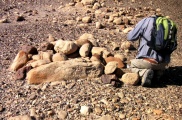
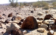
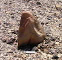
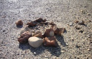
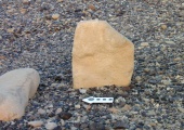
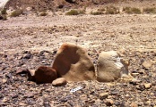
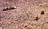
Matseboth and burial structures we find all over the desert with traces of human activity like habitation,camping ground,along ancient tracks,and agricultural land.
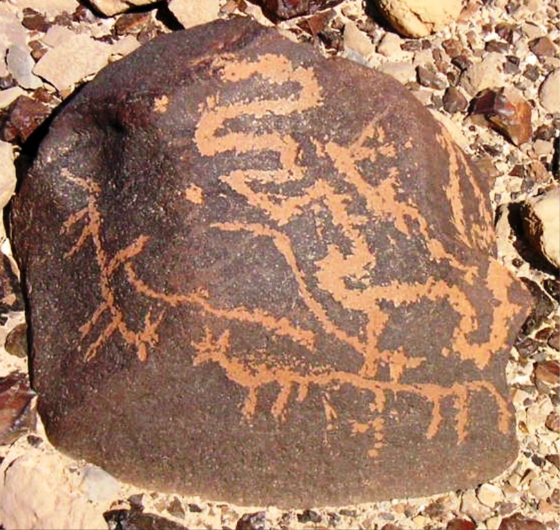
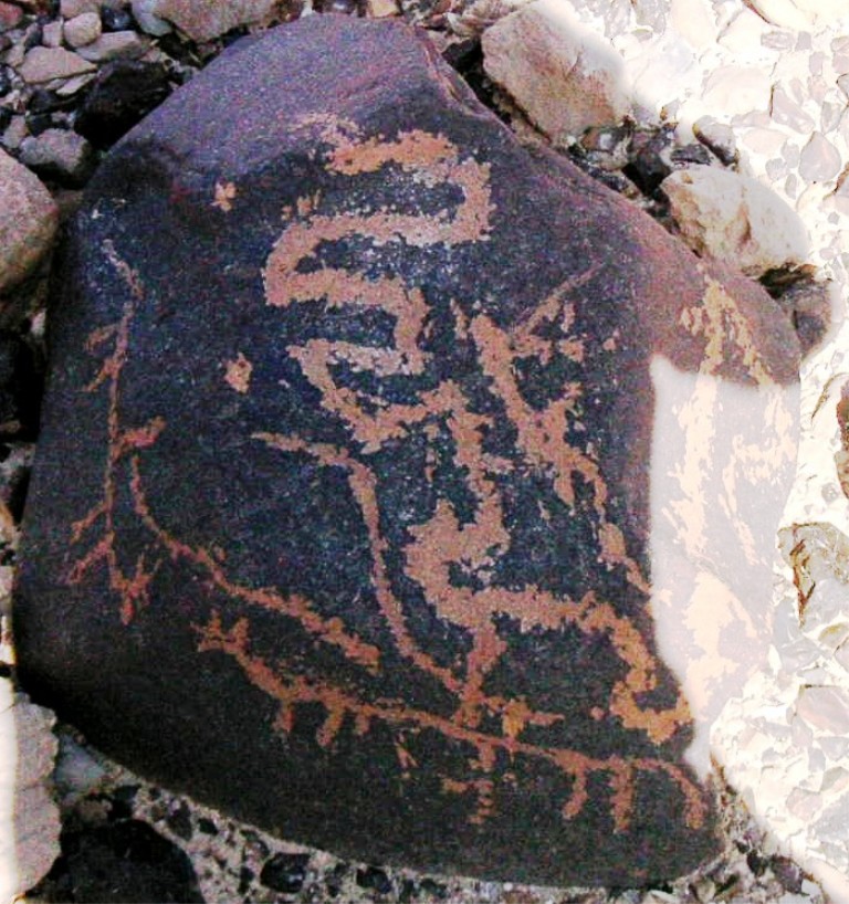
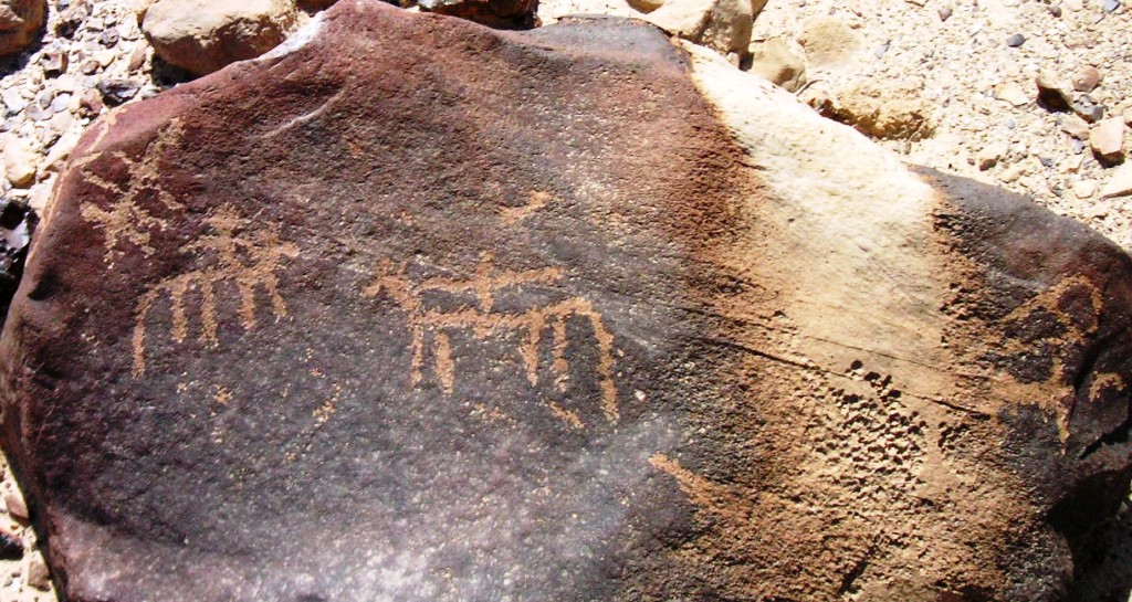
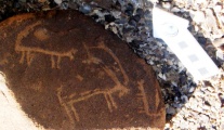
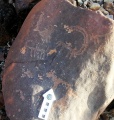
The ironised lime stones on the wadi's banks attracted the travellers and the shepherds and on these kinds of rock are where we find most petroglyphs.
In most of of the petroglyphs clusters Ibex engravings are dominant. In the Near East mythologies and ancient cults the Ibex represent deities of virility and endurance.
about Nubian ibex see Wikipedia.
You may be viewing yesterday's version of this page. To see the most up to date information please register for a free account.
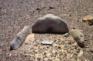
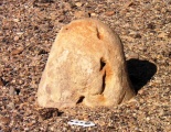
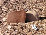
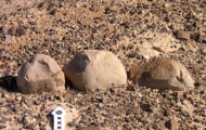
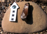
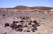
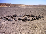
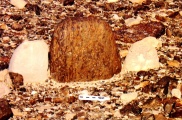
These are just the first 25 photos of Wadi Paran ancient agriculture terraces, matseboth and Rock art. If you log in with a free user account you will be able to see our entire collection.
Do not use the above information on other web sites or publications without permission of the contributor.
Click here to see more info for this site
Nearby sites
Click here to view sites on an interactive map of the areaKey: Red: member's photo, Blue: 3rd party photo, Yellow: other image, Green: no photo - please go there and take one, Grey: site destroyed
Download sites to:
KML (Google Earth)
GPX (GPS waypoints)
CSV (Garmin/Navman)
CSV (Excel)
To unlock full downloads you need to sign up as a Contributory Member. Otherwise downloads are limited to 50 sites.
Turn off the page maps and other distractions
Nearby sites listing. In the following links * = Image available
320m NW 309° Paran tributery Megalithic Open Air Sanctuary* Ancient Temple
1.1km NE 35° Paran pair Matseboth* Standing Stones
3.1km WSW 246° South Negev Highland rock engravings 3* Carving
3.8km WSW 241° Wadi 'Orkan Plaza 2* Ancient Temple
3.8km W 268° South Negev Highland rock engravings 2* Carving
4.7km NNW 349° Wadi Khalamish Camp site,Sanctuaries and Rock Art* Ancient Village or Settlement
4.9km W 281° South Negev Highland rock engravings 1* Carving
5.3km SW 219° Paran Sagi habitations , Matsebot ,and Flint workshop* Ancient Village or Settlement
5.3km WNW 297° South East of Mount Karkom Engravings* Carving
5.7km E 95° Wadi Tzikhor Matseboth & Rock Art* Standing Stones
6.0km W 268° Wadi 'Orkan Plaza 1* Ancient Temple
6.7km N 7° East of Mt. Kharoz camp site* Ancient Village or Settlement
6.9km SW 223° Big Wadi's Masseboth (2)* Standing Stones
7.2km N 350° Mt. Kharoz Plaza site* Ancient Temple
7.7km SE 135° Tsichor Cliff* Ancient Temple
7.9km N 11° Wadi Eshel Desert Kite* Ancient Village or Settlement
8.7km N 358° Wadi Eshel stone circle, Matseboth* Ancient Temple
8.9km S 190° East Upper Wadi Paran Matseboth* Standing Stones
9.1km N 358° South of wadi Eshel Plaza site* Ancient Village or Settlement
9.3km NW 315° Mount Karkom* Rock Art
10.8km ESE 103° Wadi Tzichor Matseboth* Standing Stones
10.9km E 100° North of Wadi Tzikhor camp site* Ancient Village or Settlement
11.9km NNE 31° Eshel Paran Megalithic cult site* Ancient Temple
12.2km N 354° Wadi Shazar threshing floors, terraces and rock art* Ancient Village or Settlement
13.5km E 92° North of Tsikhor limestone bowls Industry* Ancient Mine, Quarry or other Industry
View more nearby sites and additional images


 We would like to know more about this location. Please feel free to add a brief description and any relevant information in your own language.
 Wir möchten mehr über diese Stätte erfahren. Bitte zögern Sie nicht, eine kurze Beschreibung und relevante Informationen in Deutsch hinzuzufügen.
 Nous aimerions en savoir encore un peu sur les lieux. S'il vous plaît n'hesitez pas à ajouter une courte description et tous les renseignements pertinents dans votre propre langue.
 Quisieramos informarnos un poco más de las lugares. No dude en añadir una breve descripción y otros datos relevantes en su propio idioma.