<< Our Photo Pages >> Lamstedt Steenaben - Chambered Tomb in Germany in Lower Saxony, Bremen
Submitted by Martin_L on Monday, 09 March 2009 Page Views: 7334
Neolithic and Bronze AgeSite Name: Lamstedt Steenaben Alternative Name: Steinofen, Hünengrab Westerberg, Sprockhoff 645Country: Germany Land: Lower Saxony, Bremen Type: Chambered Tomb
Nearest Town: Bremerhaven Nearest Village: Lamstedt
Latitude: 53.665670N Longitude: 9.080800E
Condition:
| 5 | Perfect |
| 4 | Almost Perfect |
| 3 | Reasonable but with some damage |
| 2 | Ruined but still recognisable as an ancient site |
| 1 | Pretty much destroyed, possibly visible as crop marks |
| 0 | No data. |
| -1 | Completely destroyed |
| 5 | Superb |
| 4 | Good |
| 3 | Ordinary |
| 2 | Not Good |
| 1 | Awful |
| 0 | No data. |
| 5 | Can be driven to, probably with disabled access |
| 4 | Short walk on a footpath |
| 3 | Requiring a bit more of a walk |
| 2 | A long walk |
| 1 | In the middle of nowhere, a nightmare to find |
| 0 | No data. |
| 5 | co-ordinates taken by GPS or official recorded co-ordinates |
| 4 | co-ordinates scaled from a detailed map |
| 3 | co-ordinates scaled from a bad map |
| 2 | co-ordinates of the nearest village |
| 1 | co-ordinates of the nearest town |
| 0 | no data |
Internal Links:
External Links:
I have visited· I would like to visit
DrewParsons would like to visit
CharcoalBurner89 visited on 29th May 2021 - their rating: Cond: 3 Amb: 4 Access: 4 A really good preserved megalithic grave that can be reached after a short walk. I visited this place for the first time and it is really magically beautiful!
johnstone visited on 26th Jun 2018 - their rating: Cond: 3 Amb: 4 Access: 4
Martin_L have visited here
Average ratings for this site from all visit loggers: Condition: 3 Ambience: 4 Access: 4
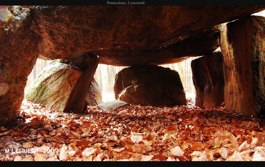
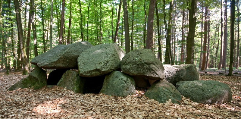
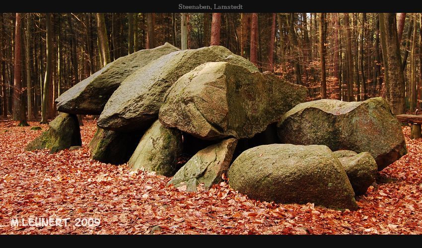
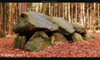
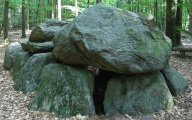
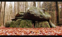
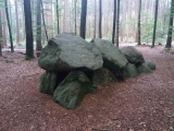
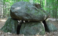
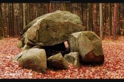
Nowadays one of the finest megalithic tombs in the Elbe-Weser-Region.
The "Steenaben" is located in a woodland called “Westerberg” north of Lamstedt. “Westerberg” a forested ridge, is a terminal moraine like the nearby “Wingst”.
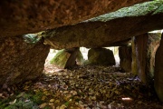
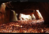
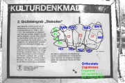
The Northwest-Southeast orientated chamber has a trapezoid groundplan (compare photo from the infoboard). This is comparatively rare in Germany. Clear chamber size is 4m x 1,5 (NW)-0,8m(SE).
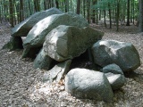
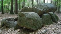
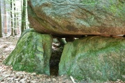
All four orthostats on each long-side are preserved in situ. The orthostat of the north-western short-side and three capstones (C1,C2,C3 counting from the NW) are also still in place. The south-eastern chamber-end is damaged by blasting attempts. As a result the capstone (C4) and the orthostast of the southeastern chamber-end are fragmented.
According to Sprockhoff et al. the lateral entrance was located in the middle of the south-western long-side.
The surrounding barrow is almost completely removed/eroded. The drywall filling is also missing, except for some boulders in and around the chamber.
“Steinofen” (low Geman: “Steenaben") means “Stone oven”. There are some other sites in (not only) Germany where megalithic tombs have similar names, like “Teufelsbackofen” (“Devil's oven”).
Access:
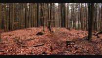
The site is signposted from the Lamstedt-Wingst road. There are possibilities to park beside the road. Walk the forest road west slightly upslope. After some 50m a fine round barrow (probably bronze age) is visible 20 m south of the track. After apprx. 350m from the main-road the megalithic tomb is visible to the right. Proceed to a junction and follow a track South (right) for 75m.
The site offers vast quantities of benches arranged very close to the tomb. As a result the otherwise good ambience is slightly decreased.
Reference:
Sprockhoff, Schwieger in: Körner, G. (Ed.), Sprockhoff, E. Atlas der Megalithgräber Deutschlands, Niedersachsen-Westfalen, p. 16.
You may be viewing yesterday's version of this page. To see the most up to date information please register for a free account.
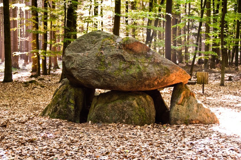
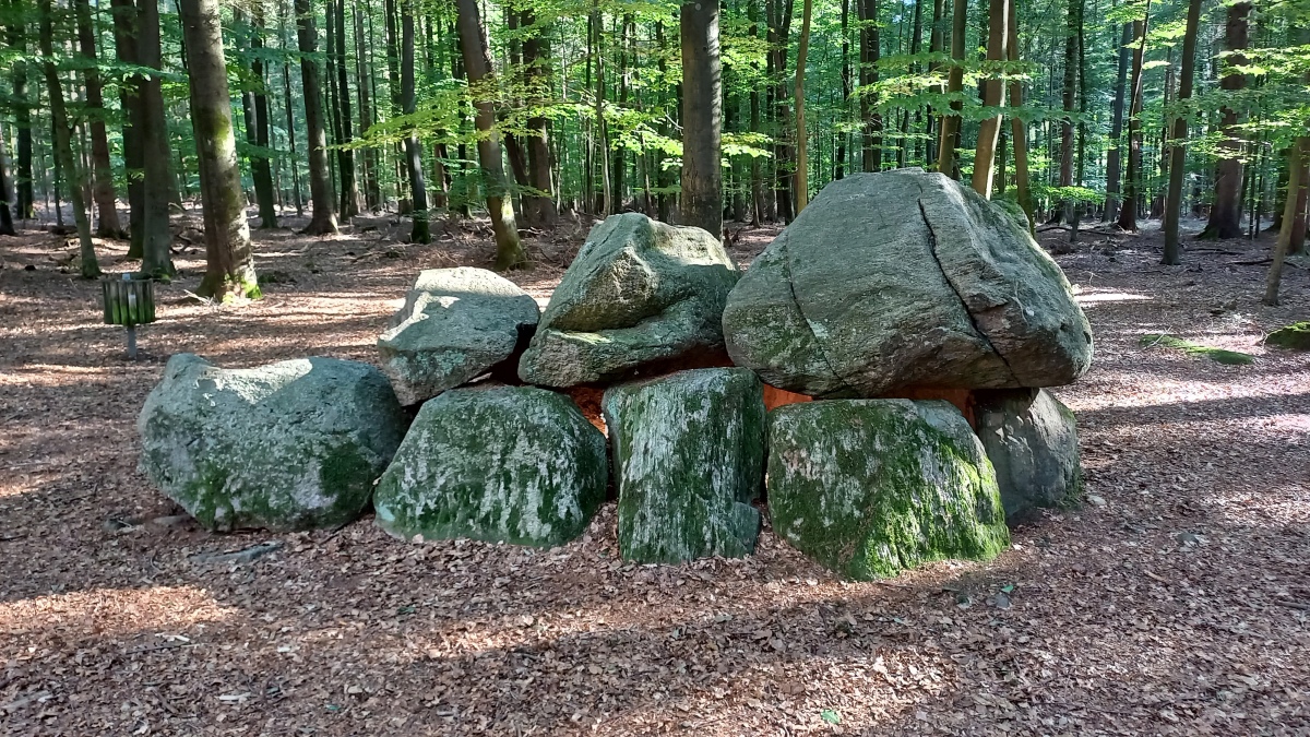
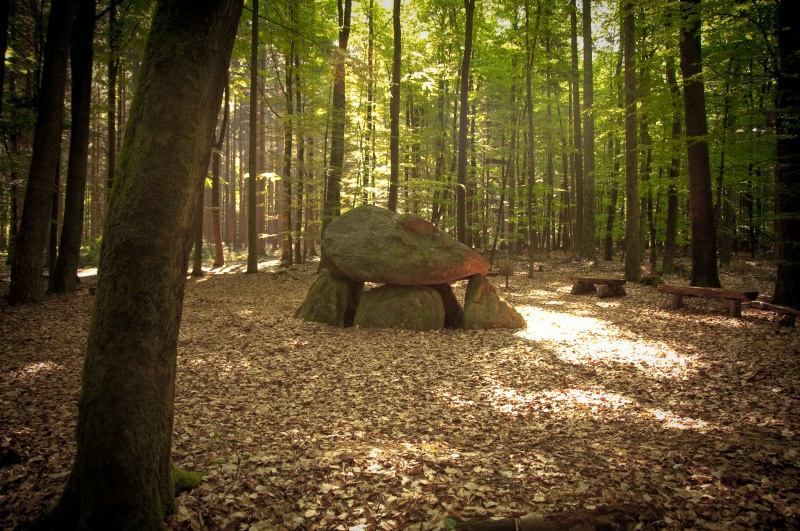




These are just the first 25 photos of Lamstedt Steenaben. If you log in with a free user account you will be able to see our entire collection.
Do not use the above information on other web sites or publications without permission of the contributor.
Click here to see more info for this site
Nearby sites
Click here to view sites on an interactive map of the areaKey: Red: member's photo, Blue: 3rd party photo, Yellow: other image, Green: no photo - please go there and take one, Grey: site destroyed
Download sites to:
KML (Google Earth)
GPX (GPS waypoints)
CSV (Garmin/Navman)
CSV (Excel)
To unlock full downloads you need to sign up as a Contributory Member. Otherwise downloads are limited to 50 sites.
Turn off the page maps and other distractions
Nearby sites listing. In the following links * = Image available
624m SW 216° Steingarten Lamstedt* Modern Stone Circle etc
6.7km N 352° Hügelgräber in der Wingst (1-2)* Round Barrow(s)
7.0km SSW 207° Horn Grabhuegel* Round Barrow(s)
7.1km N 353° Wingst Steingrab* Chambered Tomb
7.6km S 176° Sassberg Huegelgrab* Round Barrow(s)
7.8km N 354° Hügelgräber in der Wingst (3-4)* Round Barrow(s)
10.8km SW 235° Meckelstedt Steinkiste* Cist
11.5km S 181° Grabhügel bei Alfstedt* Round Barrow(s)
11.9km SW 231° Meckelstedt Steingrab* Chambered Tomb
11.9km SW 219° Grossenhain Dansenstein* Chambered Tomb
14.5km S 185° Alfstedt Ringwall* Misc. Earthwork
15.5km SE 138° Hügelgräber bei Estorf* Round Barrow(s)
16.2km WSW 255° Museum Burg Bederkesa* Museum
16.3km S 190° Hügelgrab bei Ebersdorf (1)* Round Barrow(s)
16.3km WSW 255° Bederkesa Steinring* Rock Art
16.9km S 188° Hügelgrab bei Ebersdorf (2)* Round Barrow(s)
17.3km SSE 147° Elm Hügelgräber* Round Barrow(s)
17.4km SW 219° Hügelgrab bei Köhlen (3)* Round Barrow(s)
17.5km SW 217° Findling bei Köhlen* Natural Stone / Erratic / Other Natural Feature
17.5km SW 218° Hoher Berg bei Köhlen* Round Barrow(s)
17.6km SW 217° Hügelgrab bei Köhlen (1)* Round Barrow(s)
17.7km S 170° Bremervoerde Huegelgrab Plietenberg* Round Barrow(s)
17.7km N 350° Natureum Niederelbe* Museum
17.7km SW 217° Hügelgrab bei Köhlen (2)* Round Barrow(s)
18.1km E 99° Grabhügel Hammah (4) Round Barrow(s)
View more nearby sites and additional images


 We would like to know more about this location. Please feel free to add a brief description and any relevant information in your own language.
 Wir möchten mehr über diese Stätte erfahren. Bitte zögern Sie nicht, eine kurze Beschreibung und relevante Informationen in Deutsch hinzuzufügen.
 Nous aimerions en savoir encore un peu sur les lieux. S'il vous plaît n'hesitez pas à ajouter une courte description et tous les renseignements pertinents dans votre propre langue.
 Quisieramos informarnos un poco más de las lugares. No dude en añadir una breve descripción y otros datos relevantes en su propio idioma.