<< Our Photo Pages >> Carfury - Standing Stones in England in Cornwall

Submitted by vicky on Tuesday, 24 August 2004  Page Views: 16904

Neolithic and Bronze AgeSite Name: Carfury
Country: England County: Cornwall Type: Standing Stones
Nearest Town: Penzance  Nearest Village: Madron
Map Ref: SW44003400  Landranger Map Number: 203
Latitude: 50.150662N  Longitude: 5.584941W
Condition:
5Perfect
4Almost Perfect
3Reasonable but with some damage
2Ruined but still recognisable as an ancient site
1Pretty much destroyed, possibly visible as crop marks
0No data.
-1Completely destroyed
4 Ambience:
5Superb
4Good
3Ordinary
2Not Good
1Awful
0No data.
4 Access:
5Can be driven to, probably with disabled access
4Short walk on a footpath
3Requiring a bit more of a walk
2A long walk
1In the middle of nowhere, a nightmare to find
0No data.
4 Accuracy:
5co-ordinates taken by GPS or official recorded co-ordinates
4co-ordinates scaled from a detailed map
3co-ordinates scaled from a bad map
2co-ordinates of the nearest village
1co-ordinates of the nearest town
0no data
4

Internal Links:
External Links:

I have visited· I would like to visit

SolarMegalith nicoladidsbury spot would like to visit

lucasn visited on 16th Sep 2018 - their rating: Cond: 4 Amb: 4 Access: 2

Bladup cazzyjane have visited here
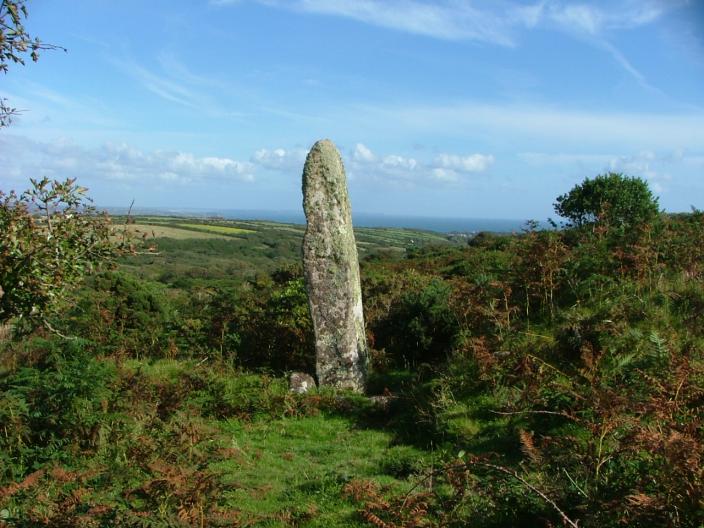
Carfury
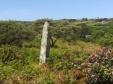
Carfury submitted by enkidu41 : Not easy to find but well worth the effort. (Vote or comment on this photo)
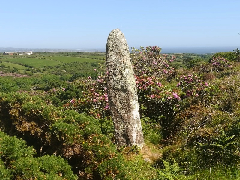
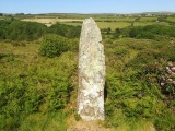
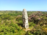
This nearly 10 feet tall stone stands in a hedge just off the small lane leading to Ding Dong Mine.

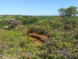
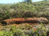
Originally one of a pair, its 15 feet long fallen partner lays 30 yards lower down in the valley.

Very difficult to get to due to very overgrown surroundings.
You may be viewing yesterday's version of this page. To see the most up to date information please register for a free account.

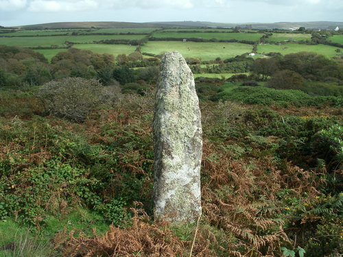
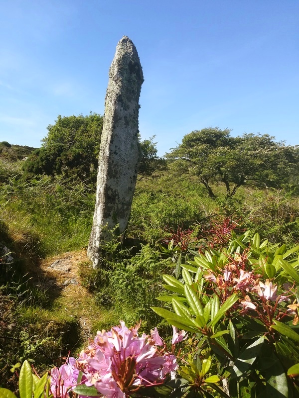
Carfury
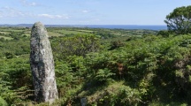
Carfury submitted by Bladup : It's a great view at the Carfury standing stone. (Vote or comment on this photo)

Carfury
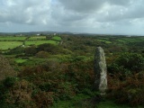
Carfury submitted by Bladup : Carfury Standing stone. (Vote or comment on this photo)

Carfury
Carfury submitted by Bladup : Carfury Standing Stone was Certainly once part of a fertility cult as it's a big willy (2 comments - Vote or comment on this photo)

Carfury
Carfury submitted by Bladup : Carfury Standing Stone looking over Mount's Bay (Vote or comment on this photo)

Carfury
Carfury submitted by Bladup : Carfury Standing Stone

Carfury
Carfury submitted by Bladup

Carfury
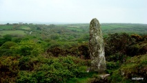
Carfury submitted by Bladup : Carfury standing stone.

Carfury
Carfury submitted by cazzyjane : Carfury Menhir. Originally one of a pair, its fallen partner 30 yards lower down in the valley. This little spot really has a special atmosphere.

Carfury
Carfury submitted by cazzyjane : Carfury Menhir. Set in a wonderful position set into an old wall near Ding Dong Tin Mine. It stands 9.8 ft tall.

Carfury
Carfury submitted by enkidu41 : This 3m high granite pillar stands in a dilapidated stone hedge which may also be of prehistoric origin. SW 4400 3400 (1 comment)

Carfury
Carfury submitted by Bladup : Carfury Standing Stone

Carfury
Carfury submitted by Bladup

Carfury
Carfury submitted by Bladup

Carfury
Carfury submitted by DrNickLeB : Carfury menhir. Difficult to access. Park opposite Bosiliack Farm entrance (just before Bosiliack Lane becomes an unmettled track) and walk back down the lane 85 metres to where a track runs off through grass and shrubs 38 metres ENE to a farm gate at SW 43818 34033. Cross into the field beyond and angle ESE down the convex slope for around 200 metres. The ground is waist high in brambles, gorse ...

Carfury
Carfury submitted by Bladup : Carfury standing stone.

Carfury
Carfury submitted by cazzyjane : Carfury Menhir. Definately worth the rather unsteady, prickly walk to get to it.

Carfury
Carfury submitted by Bladup : Carfury Standing Stone

Carfury
Carfury submitted by Bladup : The 15 feet long fallen partner that lays 30 yards lower down the valley (just follow the old wall East from Carfury Standing Stone, The fallen stone is just to the North of the wall), It looks like Carfury's twin

Carfury
Carfury submitted by Bladup

Carfury
Carfury submitted by Bladup : The 15 feet long fallen partner that lays 30 yards lower down the valley (just follow the old wall East from Carfury Standing Stone, The fallen stone is just to the North of the wall)

Carfury
Carfury submitted by Bladup

Carfury
Carfury submitted by Bladup : Carfury Standing Stone

Carfury
Carfury submitted by Bladup

Carfury
Carfury submitted by Bladup

These are just the first 25 photos of Carfury. If you log in with a free user account you will be able to see our entire collection.

Do not use the above information on other web sites or publications without permission of the contributor.
Click here to see more info for this site

Nearby sites

Click here to view sites on an interactive OS map

Key: Red: member's photo, Blue: 3rd party photo, Yellow: other image, Green: no photo - please go there and take one, Grey: site destroyed

Download sites to:
KML (Google Earth)
GPX (GPS waypoints)
CSV (Garmin/Navman)
CSV (Excel)

To unlock full downloads you need to sign up as a Contributory Member. Otherwise downloads are limited to 50 sites.


Turn off the page maps and other distractions

Nearby sites listing. In the following links * = Image available
 282m WNW 299° Bosiliack B menhir* Modern Stone Circle etc (SW43763415)
 385m NW 304° Bosiliack standing stone* Standing Stone (Menhir) (SW43693423)
 671m N 1° Park Vorn* Souterrain (Fogou, Earth House) (SW44043467)
 858m SW 232° Lanyon Enclosure* Misc. Earthwork (SW433335)
 871m NNW 331° Ding Dong Standing Stone* Standing Stone (Menhir) (SW43613478)
 911m W 281° Bosiliack Barrow* Chambered Tomb (SW43113421)
 977m WSW 240° Lanyon Enclosure.* Ancient Village or Settlement (SW43133355)
 1000m NE 37° Boskednan Cist Cairn (SW44643477)
 1.0km NNE 33° Tredinnick* Stone Circle (SW44593483)
 1.0km SSE 161° Boswarthen menhir* Standing Stone (Menhir) (SW443330)
 1.0km N 11° Boskednan 3 Ancient Village or Settlement (SW44253502)
 1.1km WSW 250° Lanyon Quoit* Portal Tomb (SW42983369)
 1.1km NNW 330° Boskednan 4* Cairn (SW43503495)
 1.1km N 356° Gulval 2 Round Barrow(s) (SW43973511)
 1.2km WNW 294° Bosiliack Huts N Ancient Village or Settlement (SW42913454)
 1.2km WNW 286° Bosiliack Huts* Ancient Village or Settlement (SW42833440)
 1.2km WNW 285° Bosiliack Settlement* Ancient Village or Settlement (SW42813437)
 1.3km NNW 341° Boskednan 2* Cairn (SW43653521)
 1.3km NNW 330° Boskednan stone circle* Stone Circle (SW43423513)
 1.3km NNW 329° Boskednan Menhir 1* Standing Stone (Menhir) (SW43383517)
 1.3km SW 225° Boswarva Carn Settlement* Ancient Village or Settlement (SW430331)
 1.4km SSE 154° Madron Well* Holy Well or Sacred Spring (SW44543274)
 1.4km WSW 249° West Lanyon Enclosure* Ancient Village or Settlement (SW42653356)
 1.4km W 270° Lanyon Farm Standing Stones* Marker Stone (SW42573406)
 1.4km NNW 328° Boskednan B* Cairn (SW4329435260)
View more nearby sites and additional images

<< Bookan Stones

Llanerch Fedw >>

Please add your thoughts on this site

Cornwall in Prehistory

Cornwall in Prehistory

Sponsors

Auto-Translation (Google)

Translate from English into:

"Carfury" | Login/Create an Account | 5 News and Comments
  
Go back to top of page    Comments are owned by the poster. We aren't responsible for their content.
Carfury Standing Stone by lucasn on Saturday, 17 November 2018
(User Info | Send a Message)
[ Reply to This ]

Re: Carfury by TheCaptain on Monday, 06 October 2014
(User Info | Send a Message)
remarkably, from the other side of the valley, this stone can be seen opn streetview


View Larger Map
[ Reply to This ]

Re: Carfury by TheCaptain on Tuesday, 30 September 2014
(User Info | Send a Message)
I tried to visit these stones 17 Sept 2014, but it seemed nigh on impossible to get to them.

Looking at the map, it is very unclear as to where the stones may be, so proceded to the place where the little lane runs down the hillside to the east from the top lane. Having reached here, it was immediately seen that the whole lane has been swallowed up by the undergrowth, gorse, ferns and brambles completely filling the gap between the Cornish hedges, and much of the fields themselves.

Upon looking over a gateway into a field on the right, I saw a pair of foxes just a few dozen feet away, which before I had got my camera out, skidaddled away into the hedge. Also in the field was a herd of young bullocks, which when they saw me, all came over looking very inquisitive and starting to bellow at me. Lovely little things they may be, but that stopped me from having a better look into the field!

I saw no sign of the top of a stone anywhere, and with no obvious way to get down the hillside, then it was time to give up - another one for another time. Since getting home, I have seen that these stones are in the field hedge one hedge to the north of where I was looking.
[ Reply to This ]
    Re: Carfury by Bladup on Monday, 06 October 2014
    (User Info | Send a Message)
    I once left up the hill from the stone and went to the road that leads to Bosiliack farm and remember thinking if/when I visit again I'd come from that top way because It seemed easier [less overgrown], Just a thought for when you try again [It may have changed since then though, You know yourself what it's like].
    [ Reply to This ]

Re: Carfury by enkidu41 on Tuesday, 24 August 2004
(User Info | Send a Message)
This may have been one of a pair of standing stones. In the same wall in which this stone stands is another now recumbent 15' stone close by at grid reference SW 4401 3401. Unfortunately this is now virtually obscured by brambles and bracken.
[ Reply to This ]

Your Name: Anonymous [ Register Now ]
Subject:


Add your comment or contribution to this page. Spam or offensive posts are deleted immediately, don't even bother

<<< What is five plus one as a number? (Please type the answer to this question in the little box on the left)
You can also embed videos and other things. For Youtube please copy and paste the 'embed code'.
For Google Street View please include Street View in the text.
Create a web link like this: <a href="https://www.megalithic.co.uk">This is a link</a>  

Allowed HTML is:
<p> <b> <i> <a> <img> <em> <br> <strong> <blockquote> <tt> <li> <ol> <ul> <object> <param> <embed> <iframe>

We would like to know more about this location. Please feel free to add a brief description and any relevant information in your own language.
Wir möchten mehr über diese Stätte erfahren. Bitte zögern Sie nicht, eine kurze Beschreibung und relevante Informationen in Deutsch hinzuzufügen.
Nous aimerions en savoir encore un peu sur les lieux. S'il vous plaît n'hesitez pas à ajouter une courte description et tous les renseignements pertinents dans votre propre langue.
Quisieramos informarnos un poco más de las lugares. No dude en añadir una breve descripción y otros datos relevantes en su propio idioma.