<< Our Photo Pages >> Battle Stone (Kirknewton) - Standing Stone (Menhir) in England in Northumberland
Submitted by coldrum on Thursday, 20 May 2010 Page Views: 8399
Neolithic and Bronze AgeSite Name: Battle Stone (Kirknewton)Country: England
NOTE: This site is 0.584 km away from the location you searched for.
County: Northumberland Type: Standing Stone (Menhir)
Nearest Village: Kirknewton
Map Ref: NT92993038
Latitude: 55.567041N Longitude: 2.112714W
Condition:
| 5 | Perfect |
| 4 | Almost Perfect |
| 3 | Reasonable but with some damage |
| 2 | Ruined but still recognisable as an ancient site |
| 1 | Pretty much destroyed, possibly visible as crop marks |
| 0 | No data. |
| -1 | Completely destroyed |
| 5 | Superb |
| 4 | Good |
| 3 | Ordinary |
| 2 | Not Good |
| 1 | Awful |
| 0 | No data. |
| 5 | Can be driven to, probably with disabled access |
| 4 | Short walk on a footpath |
| 3 | Requiring a bit more of a walk |
| 2 | A long walk |
| 1 | In the middle of nowhere, a nightmare to find |
| 0 | No data. |
| 5 | co-ordinates taken by GPS or official recorded co-ordinates |
| 4 | co-ordinates scaled from a detailed map |
| 3 | co-ordinates scaled from a bad map |
| 2 | co-ordinates of the nearest village |
| 1 | co-ordinates of the nearest town |
| 0 | no data |
Internal Links:
External Links:
I have visited· I would like to visit
Anne T visited on 26th Aug 2017 - their rating: Cond: 3 Amb: 4 Access: 4 Battle Stone, Kirknewton: This was our second unscheduled stop of the day, and one I was very pleased to have made.
Having turned off the A697 onto the B6351, just before the site of Ad Gefrin to the west, I spotted this stone on the OS map. Goodness knows how I’d missed it before, but then it’s a tiny little dot right on the edge of two maps we were using (OL16 and 339).
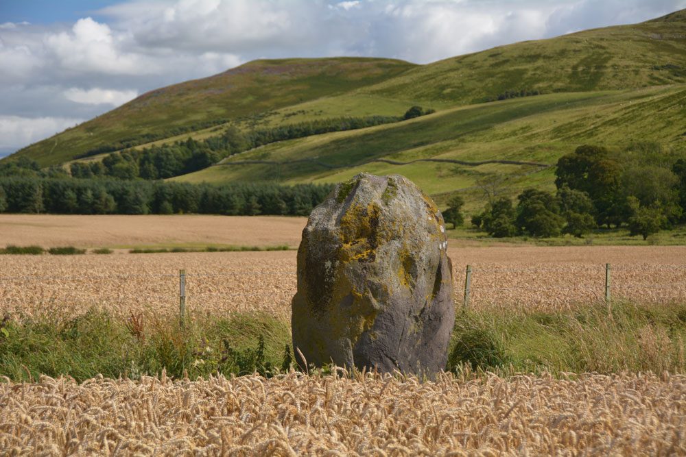
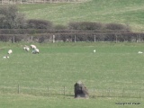
The stone is in a large field just under the shadow of Yeavering Bell, which glowed purple with the heather. There is a largish entrance to the field, hard-cored over, but the field was covered in ripening wheat. We could see the stone from afar and managed to follow the tractor path to about 8 metres away.
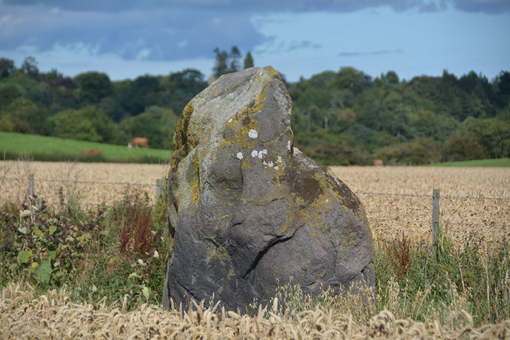
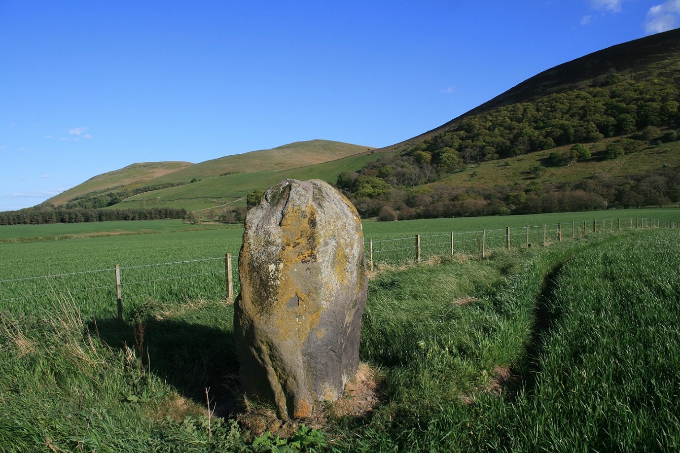
The stone had very different shapes, depending on what angle we viewed it at. Looking at the Historic England notes when we got back home, discovered that there are the remains of Old Yeavering Henge, which is preserved as a cropmark and lies 150m to the WNW, so it would be interesting to go back next spring, when the crop has been harvested and the field might be under grass.
We continued along the B6351 towards Kilham and Ring Chesters.
TimPrevett kelpie have visited here
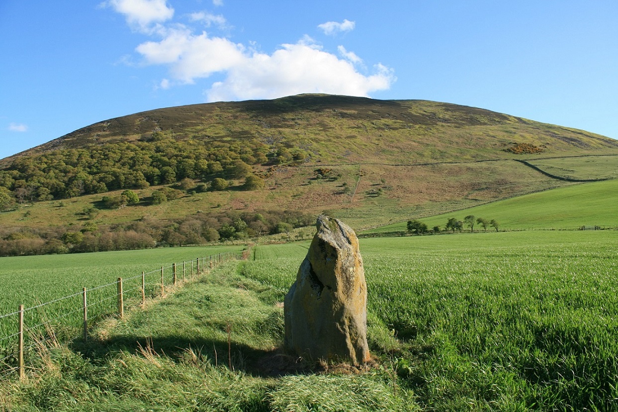
Standing stone associated with a battle that took place in the area in 1415. It is thought to be of prehistoric date.
More information is at Pastscape Monument No. 3881 and Historic England List ID 1006562.
You may be viewing yesterday's version of this page. To see the most up to date information please register for a free account.

Do not use the above information on other web sites or publications without permission of the contributor.
Click here to see more info for this site
Nearby sites
Key: Red: member's photo, Blue: 3rd party photo, Yellow: other image, Green: no photo - please go there and take one, Grey: site destroyed
Download sites to:
KML (Google Earth)
GPX (GPS waypoints)
CSV (Garmin/Navman)
CSV (Excel)
To unlock full downloads you need to sign up as a Contributory Member. Otherwise downloads are limited to 50 sites.
Turn off the page maps and other distractions
Nearby sites listing. In the following links * = Image available
148m WNW 290° Old Yeavering Henge* Henge (NT92853043)
302m WNW 290° Ad Gefrin* Ancient Palace (NT9270630484)
1.1km S 190° Yeavering Bell* Hillfort (NT92802931)
1.5km WSW 247° St Gregory's Hill* Hillfort (NT9161329805)
1.6km W 265° St. Gregory's The Great (Kirknewton)* Sculptured Stone (NT9134630251)
1.8km S 170° Whitelaw (Kirknewton) Rock Art (NT9330028600)
2.1km SW 235° Torlee House, Kirknewton Rock Art (NT9127029190)
2.1km SW 236° West Hill, Kirknewton* Rock Art (NT9125329199)
2.2km WSW 247° West Hill Camp* Hillfort (NT9096029518)
2.2km NNE 33° East Marleyknowe Henge Henge (NT94233226)
2.3km SE 127° Gleads Cleugh Hillfort (NT948290)
2.3km SE 124° White Law Hillfort (NT949291)
2.3km NE 34° Milfield Cursus Cursus (NT943323)
2.8km NNE 21° Coupland Henge Henge (NT940330)
2.9km ENE 60° Ewart Cursus Cursus (NT955318)
2.9km E 84° West Akeld Steads Henge Henge (NT95883070)
3.0km ENE 63° Ewart Park Henge Henge (NT95693172)
3.2km SE 126° Harehope Hill* Hillfort (NT956285)
3.4km NNE 17° Milfield Reconstructed Henge at Maelmin Heritage Centre* Henge (NT9400033631)
3.5km NE 55° Thirlings Ancient Village or Settlement (NT959324)
3.6km SSW 199° Yeavering Bell Stone Circle Stone Circle (NT918270)
3.7km NNE 17° Maelmin Anglo-Saxon Royal Settlement. Ancient Village or Settlement (NT941339)
3.9km ESE 103° Bendor Stone* Standing Stone (Menhir) (NT9681929460)
4.2km N 5° Milfield South Henge (NT934346)
4.3km ESE 120° Humbleton Hill* Hillfort (NT9670628252)
View more nearby sites and additional images


 We would like to know more about this location. Please feel free to add a brief description and any relevant information in your own language.
 Wir möchten mehr über diese Stätte erfahren. Bitte zögern Sie nicht, eine kurze Beschreibung und relevante Informationen in Deutsch hinzuzufügen.
 Nous aimerions en savoir encore un peu sur les lieux. S'il vous plaît n'hesitez pas à ajouter une courte description et tous les renseignements pertinents dans votre propre langue.
 Quisieramos informarnos un poco más de las lugares. No dude en añadir una breve descripción y otros datos relevantes en su propio idioma.