<< Our Photo Pages >> Voldbjerggård Jættestue - Passage Grave in Denmark in Sjælland
Submitted by Fortidsminder on Saturday, 19 June 2010 Page Views: 3706
Neolithic and Bronze AgeSite Name: Voldbjerggård Jættestue Alternative Name: Brandsbjærg, Tjæreby, VoldbjerggaardCountry: Denmark
NOTE: This site is 1.464 km away from the location you searched for.
County: Sjælland Type: Passage Grave
Nearest Town: Slagelse Nearest Village: Tårnborg
Latitude: 55.356822N Longitude: 11.210510E
Condition:
| 5 | Perfect |
| 4 | Almost Perfect |
| 3 | Reasonable but with some damage |
| 2 | Ruined but still recognisable as an ancient site |
| 1 | Pretty much destroyed, possibly visible as crop marks |
| 0 | No data. |
| -1 | Completely destroyed |
| 5 | Superb |
| 4 | Good |
| 3 | Ordinary |
| 2 | Not Good |
| 1 | Awful |
| 0 | No data. |
| 5 | Can be driven to, probably with disabled access |
| 4 | Short walk on a footpath |
| 3 | Requiring a bit more of a walk |
| 2 | A long walk |
| 1 | In the middle of nowhere, a nightmare to find |
| 0 | No data. |
| 5 | co-ordinates taken by GPS or official recorded co-ordinates |
| 4 | co-ordinates scaled from a detailed map |
| 3 | co-ordinates scaled from a bad map |
| 2 | co-ordinates of the nearest village |
| 1 | co-ordinates of the nearest town |
| 0 | no data |
Be the first person to rate this site - see the 'Contribute!' box in the right hand menu.
Internal Links:
External Links:
I have visited· I would like to visit
43559959 would like to visit
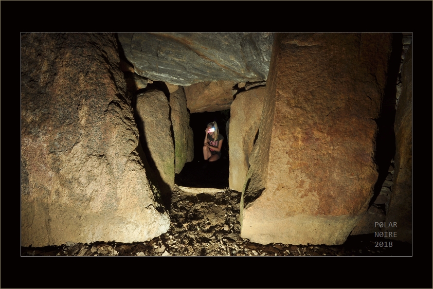
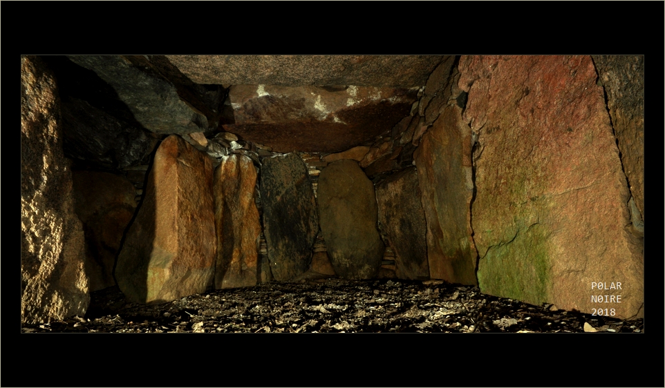
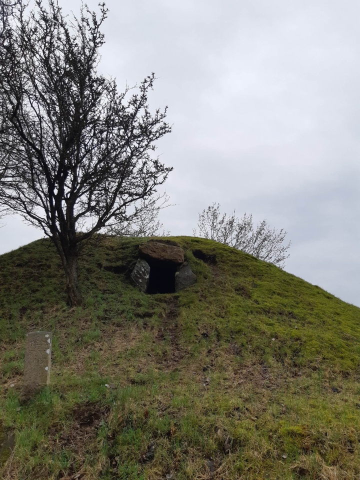
annathropology visited on 22nd Mar 2023 - their rating: Cond: 5 Amb: 5 Access: 3 Like many sites in Denmark, this requires a drive down a rough path in-between two active farmer's fields, so make sure your car can handle that, alternatively you could walk it. You will have to walk regardless, as the drive-able portion ends and you'll have to walk about 50 meters from there. Additionally, all visitors should know that you will have to walk about 15 meters across a field to reach the two burial mounds (they're kind of like an island in the field), the farthest from the path is the one which is open to enter. Don't worry about trespassing, this is a national historic site BUT please be aware that you may be walking across planted fields, do you best to not trample any young plants. We visited in March and one field was recently harvested sugar beets, so deep mud to traverse but no growing plants, but another was just sprouting DO NOT WALK ON THE SPROUTS. As a farmer that is incredibly frustrating. There will be plenty of space on the 'island' to take pictures from a far to get the whole of the mound in the photo, no need to go into the field. Additionally, there were hunters in the surrounding area so gunshots may be heard, just ensure you wear bright colours. This is an incredible experience, and the reconstruction of the passage grave is very well done!
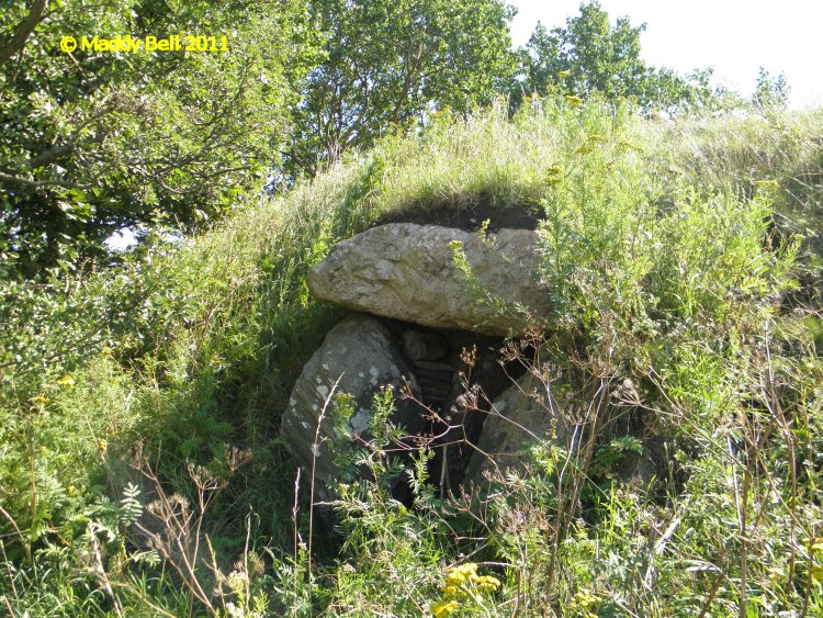
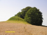
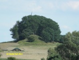
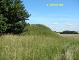
maddy visited on 27th Jul 2011 - their rating: Cond: 4 Amb: 4 Access: 4 There are two monuments here with a possible third within the trees between them.
Martin_L have visited here
Average ratings for this site from all visit loggers: Condition: 4.5 Ambience: 4.5 Access: 3.5
More information at www.kulturarv.dk: Danish Sites and Monuments Record: 040319-28
"Fortidsmindedata Copyright Kulturarvsstyrelsen"
You may be viewing yesterday's version of this page. To see the most up to date information please register for a free account.



Do not use the above information on other web sites or publications without permission of the contributor.
Click here to see more info for this site
Nearby sites
Click here to view sites on an interactive map of the areaKey: Red: member's photo, Blue: 3rd party photo, Yellow: other image, Green: no photo - please go there and take one, Grey: site destroyed
Download sites to:
KML (Google Earth)
GPX (GPS waypoints)
CSV (Garmin/Navman)
CSV (Excel)
To unlock full downloads you need to sign up as a Contributory Member. Otherwise downloads are limited to 50 sites.
Turn off the page maps and other distractions
Nearby sites listing. In the following links * = Image available
3.1km W 279° Taarnborg Gods Rundhøj 2* Round Barrow(s)
3.2km W 280° Svenstrup Langdysse (Tårnborg)* Long Barrow
3.8km W 273° Tårnborg Gods Runddysse 2* Burial Chamber or Dolmen
3.8km W 277° Taarnborg Gods Rundhøj 1* Round Barrow(s)
4.3km W 271° Tårnborg Gods Langdysse 2* Long Barrow
4.4km W 270° Tårnborg Gods Runddysse 3* Round Barrow(s)
4.5km W 270° Tårnborg Gods Langdysse 1* Long Barrow
4.7km W 263° Tårnborg Gods Runddysse 1* Burial Chamber or Dolmen
4.8km SSE 160° Barnehøi (Gryderup)* Round Barrow(s)
4.8km W 269° Korsør Station Langdysse* Long Barrow
5.4km NE 40° Vikingeborgen Trelleborg* Hillfort
5.7km NE 43° Museet Vikingeborgen Trelleborg* Museum
5.7km S 183° Bonderup Hellekiste Cist
5.8km N 358° Kelstrup Langdysse 3* Long Barrow
5.8km SSW 202° Korsør Skov Langdysse* Long Barrow
5.8km N 357° Kelstrup Runddysse* Burial Chamber or Dolmen
5.8km SSE 149° Neble Runddysse* Burial Chamber or Dolmen
5.9km E 89° Gerlev Langdysse* Long Barrow
5.9km N 357° Kelstrup Jættestue* Passage Grave
5.9km N 6° Kelstrup Hyllehøj Jættestue* Passage Grave
5.9km SSW 203° Korsør Skov Runddysse* Burial Chamber or Dolmen
5.9km SSW 204° Korsør Skov Megalitgrav* Burial Chamber or Dolmen
5.9km N 357° Kelstrup Langdysse 2* Long Barrow
6.1km E 88° Gerlev Rævehøj Jættestue* Passage Grave
6.4km SE 134° Erdrup Baunehøj Runddysse* Burial Chamber or Dolmen
View more nearby sites and additional images


 We would like to know more about this location. Please feel free to add a brief description and any relevant information in your own language.
 Wir möchten mehr über diese Stätte erfahren. Bitte zögern Sie nicht, eine kurze Beschreibung und relevante Informationen in Deutsch hinzuzufügen.
 Nous aimerions en savoir encore un peu sur les lieux. S'il vous plaît n'hesitez pas à ajouter une courte description et tous les renseignements pertinents dans votre propre langue.
 Quisieramos informarnos un poco más de las lugares. No dude en añadir una breve descripción y otros datos relevantes en su propio idioma.