<< Our Photo Pages >> Moel Farlwyd Hut Circle - Ancient Village or Settlement in Wales in Conwy
Submitted by TAlanJones on Sunday, 28 January 2024 Page Views: 283
Multi-periodSite Name: Moel Farlwyd Hut CircleCountry: Wales County: Conwy Type: Ancient Village or Settlement
Nearest Town: Blaenau Ffestiniog Nearest Village: Dolwyddelan
Map Ref: SH7058448535
Latitude: 53.018419N Longitude: 3.93072W
Condition:
| 5 | Perfect |
| 4 | Almost Perfect |
| 3 | Reasonable but with some damage |
| 2 | Ruined but still recognisable as an ancient site |
| 1 | Pretty much destroyed, possibly visible as crop marks |
| 0 | No data. |
| -1 | Completely destroyed |
| 5 | Superb |
| 4 | Good |
| 3 | Ordinary |
| 2 | Not Good |
| 1 | Awful |
| 0 | No data. |
| 5 | Can be driven to, probably with disabled access |
| 4 | Short walk on a footpath |
| 3 | Requiring a bit more of a walk |
| 2 | A long walk |
| 1 | In the middle of nowhere, a nightmare to find |
| 0 | No data. |
| 5 | co-ordinates taken by GPS or official recorded co-ordinates |
| 4 | co-ordinates scaled from a detailed map |
| 3 | co-ordinates scaled from a bad map |
| 2 | co-ordinates of the nearest village |
| 1 | co-ordinates of the nearest town |
| 0 | no data |
Internal Links:
External Links:
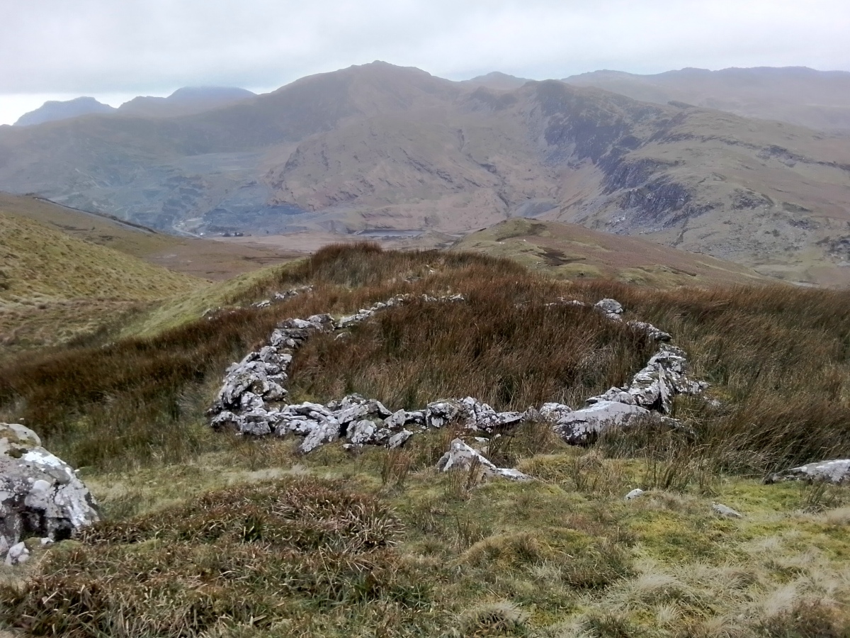
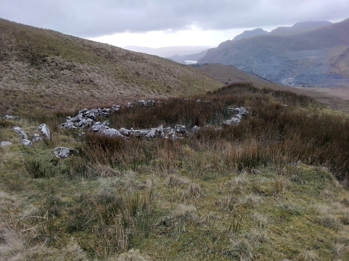
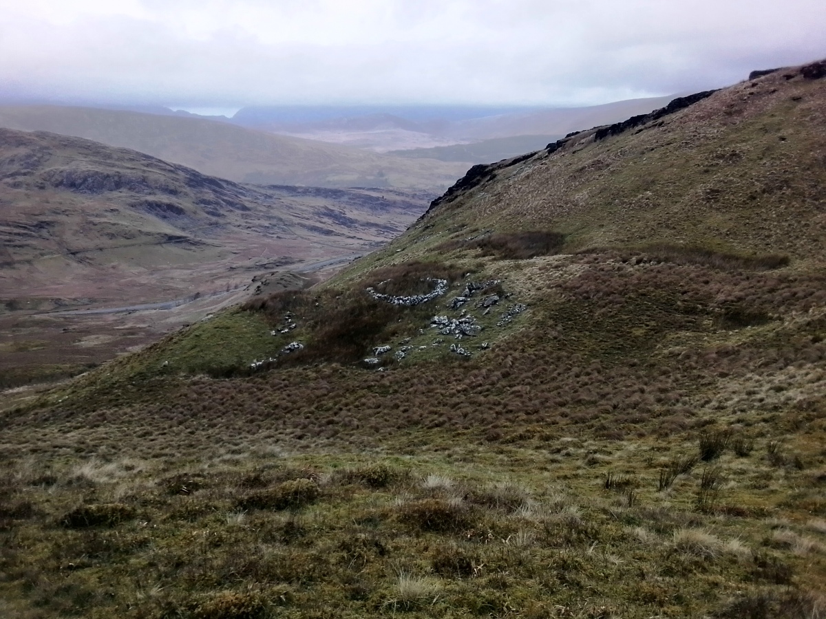
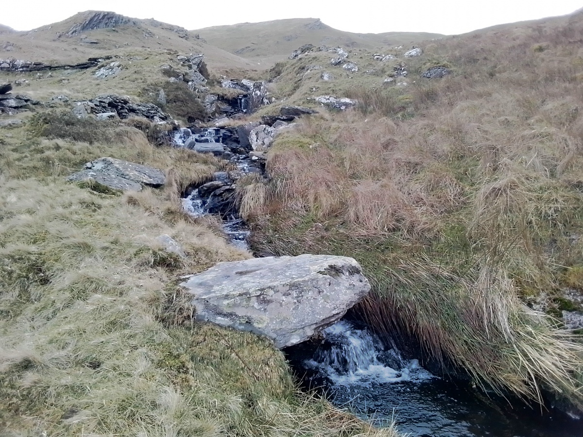
Situated high (540m) above the Crimea Pass (A470) between Blaenau Ffestiniog and Dolwyddelan the hut circle occupies a comanding position on a sheltered outcrop to the SW of Moel Farlwyd's summit (577m). I made my way to the site via the footpath that leads from the Eryri lay by/car park. A very wet and windy moorland trudge of about 700m along a mostly absent path. The site itself is nestled within the lower foothills and was relatively sheltered from the high winds that I had experienced on the way up.
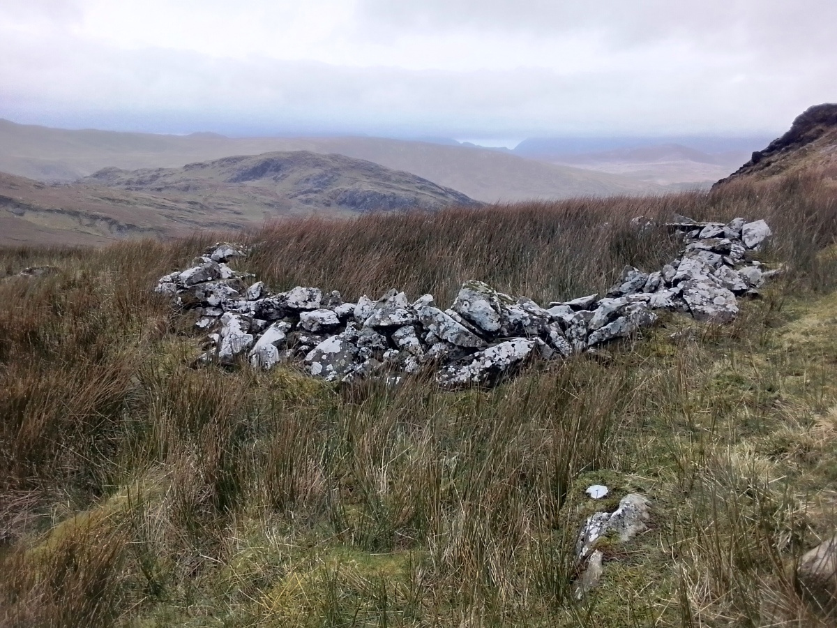
The hut circle is almost a perfect circle of stones that has a 5m interior diameter and it is raised to about 0.45m. Although partially overgrown with marsh grass the site stands out and can be seen as a circular
structure on Google Earth. Gwynedd Archaeological Trust has the site location identified at SH706485 some 40m away and they do not provide a description.
There is some evidence of prehistoric activity in the valley beyond, in and around the Llynnau Barlwyd lakes, but the local slate quarry and the more recent mountain bike centre and Zip wire has taken control of this area of upland.
You may be viewing yesterday's version of this page. To see the most up to date information please register for a free account.
Do not use the above information on other web sites or publications without permission of the contributor.
Nearby Images from Geograph Britain and Ireland:

©2006(licence)

©2024(licence)

©2007(licence)

©2023(licence)

©2023(licence)
The above images may not be of the site on this page, they are loaded from Geograph.
Please Submit an Image of this site or go out and take one for us!
Click here to see more info for this site
Nearby sites
Key: Red: member's photo, Blue: 3rd party photo, Yellow: other image, Green: no photo - please go there and take one, Grey: site destroyed
Download sites to:
KML (Google Earth)
GPX (GPS waypoints)
CSV (Garmin/Navman)
CSV (Excel)
To unlock full downloads you need to sign up as a Contributory Member. Otherwise downloads are limited to 50 sites.
Turn off the page maps and other distractions
Nearby sites listing. In the following links * = Image available
228m S 169° Cairn West of Llynnau Barlwyd* Cairn (SH70624831)
249m SSW 198° Hut Circle West of Llynnau Barlwyd* Ancient Village or Settlement (SH70504830)
2.9km S 185° Llain y Maen* Standing Stone (Menhir) (SH7025245687)
3.2km SSE 168° Pen Mawr Afon Du Bach* Natural Stone / Erratic / Other Natural Feature (SH71144543)
3.3km SSW 192° Ogof Cwm Bowydd* Cave or Rock Shelter (SH6980045310)
3.3km SSW 203° Gelli Gonan* Ancient Village or Settlement (SH692455)
3.4km S 185° Cwm Bowydd Farm Hut Circle* Ancient Village or Settlement (SH702452)
3.5km NNW 341° Ty'n y Ddol Hut Circle Settlement* Ancient Village or Settlement (SH6955051900)
3.8km SSW 192° Cwpan Rhufeinig* Rock Art (SH6972244878)
3.8km SSW 192° Cwm Bowydd ancient trackway* Ancient Trackway (SH6972044870)
3.8km S 188° Y Garth Settlement* Ancient Village or Settlement (SH69954475)
4.2km SSW 192° Cistfaen Llys Dorfil* Cist (SH69584447)
4.2km SSW 192° Llys Dorfil* Ancient Village or Settlement (SH69574447)
4.2km SSW 193° Llys Dorfil Hut Circle* Ancient Village or Settlement (SH69564447)
4.2km ENE 71° Y Ro Wen Cairn* Cairn (SH746498)
4.3km SSE 153° Manod Mawr Shelter Modern Stone Circle etc (SH7239544666)
4.4km S 187° Llanerch Y Moch standing stone* Modern Stone Circle etc (SH699442)
4.8km SSE 169° Settlement South of Manod Bach* Ancient Village or Settlement (SH714438)
4.8km S 183° Llwyn y Crair Sphynx* Natural Stone / Erratic / Other Natural Feature (SH70184374)
4.9km SSE 152° Cwm Teigl Settlement* Ancient Village or Settlement (SH7278244175)
5.0km S 188° Coed y Cribau Hut Circle* Ancient Village or Settlement (SH69744365)
5.0km NE 36° Ffynnon Elan* Holy Well or Sacred Spring (SH736525)
5.0km NE 36° Dolwyddelan Ancient Trackway* Ancient Trackway (SH7366652467)
5.1km SSE 154° Cwm Teigl Hut Circle* Ancient Village or Settlement (SH7273543921)
5.2km S 188° Cymerau Uchaf* Ancient Village or Settlement (SH697434)
View more nearby sites and additional images


 We would like to know more about this location. Please feel free to add a brief description and any relevant information in your own language.
 Wir möchten mehr über diese Stätte erfahren. Bitte zögern Sie nicht, eine kurze Beschreibung und relevante Informationen in Deutsch hinzuzufügen.
 Nous aimerions en savoir encore un peu sur les lieux. S'il vous plaît n'hesitez pas à ajouter une courte description et tous les renseignements pertinents dans votre propre langue.
 Quisieramos informarnos un poco más de las lugares. No dude en añadir una breve descripción y otros datos relevantes en su propio idioma.