<< Our Photo Pages >> Sinsener Wallburg - Hillfort in Germany in North Rhine-Westphalia
Submitted by Harald_Platta on Sunday, 27 February 2022 Page Views: 616
Early Medieval (Dark Age)Site Name: Sinsener Wallburg Alternative Name: Die Burg, Sinsener VolksburgCountry: Germany Land: North Rhine-Westphalia Type: Hillfort
Nearest Town: Marl Nearest Village: Sinsen
Latitude: 51.653893N Longitude: 7.174260E
Condition:
| 5 | Perfect |
| 4 | Almost Perfect |
| 3 | Reasonable but with some damage |
| 2 | Ruined but still recognisable as an ancient site |
| 1 | Pretty much destroyed, possibly visible as crop marks |
| 0 | No data. |
| -1 | Completely destroyed |
| 5 | Superb |
| 4 | Good |
| 3 | Ordinary |
| 2 | Not Good |
| 1 | Awful |
| 0 | No data. |
| 5 | Can be driven to, probably with disabled access |
| 4 | Short walk on a footpath |
| 3 | Requiring a bit more of a walk |
| 2 | A long walk |
| 1 | In the middle of nowhere, a nightmare to find |
| 0 | No data. |
| 5 | co-ordinates taken by GPS or official recorded co-ordinates |
| 4 | co-ordinates scaled from a detailed map |
| 3 | co-ordinates scaled from a bad map |
| 2 | co-ordinates of the nearest village |
| 1 | co-ordinates of the nearest town |
| 0 | no data |
Internal Links:
External Links:
I have visited· I would like to visit
Harald_Platta visited on 21st Feb 2022 - their rating: Cond: 3 Amb: 4 Access: 3
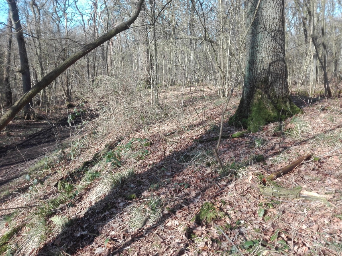
Discovered potsherds date from the 8th century and suggest that the fortification was built by the carolingians.
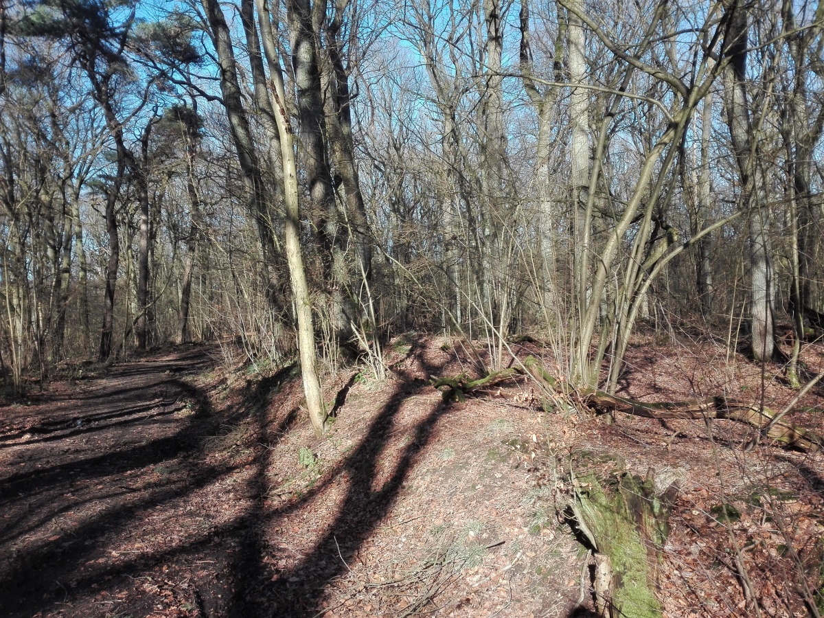
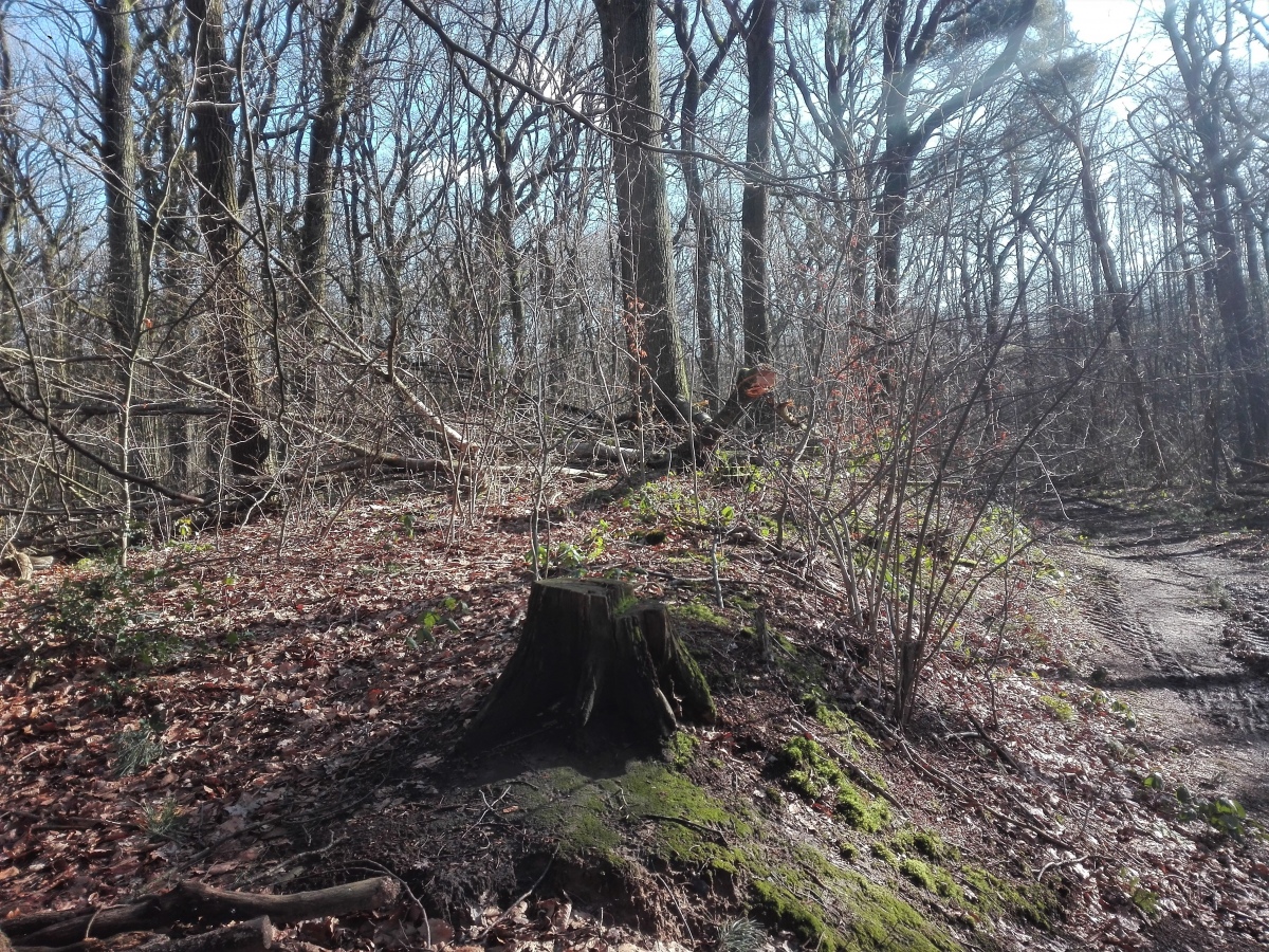
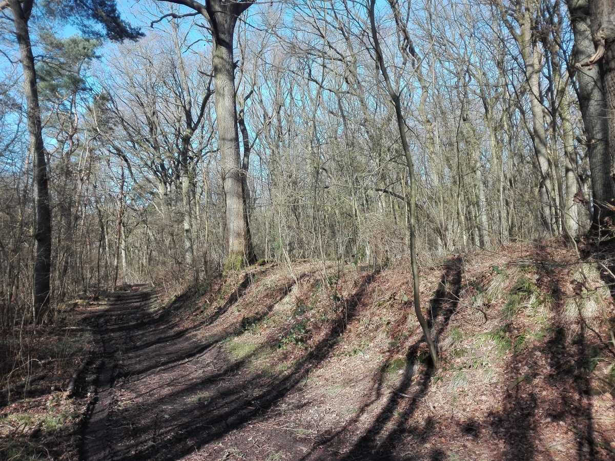
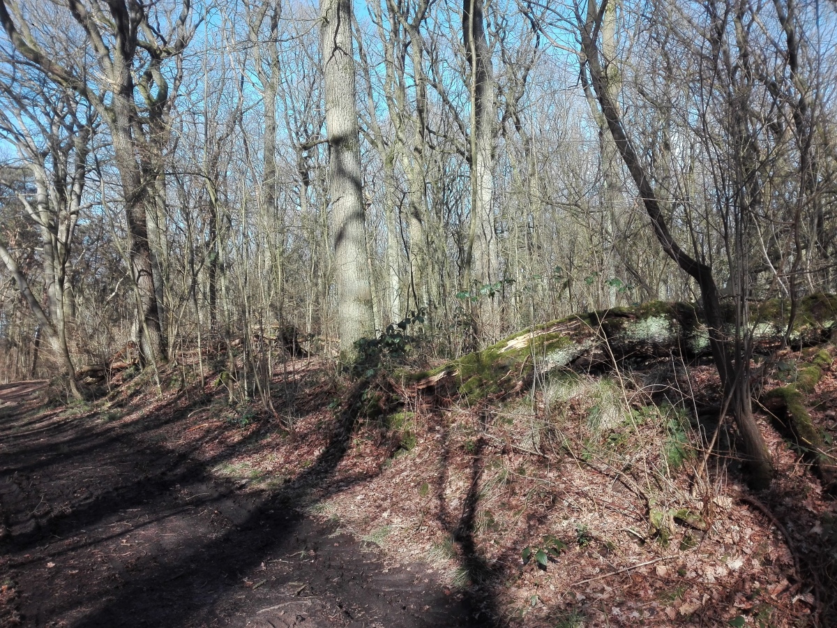
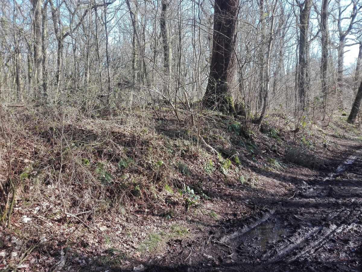
Today, many parts of the ramparts are still visible. The central ramparts cannot be accessed because they lie in a protected area. However, the south-western part of the outer rampart lies directly adjacent to the footpath.
References:
[01] Grünewald, C.: „Die Burg“. In: BurgenAufruhr: Unterwegs zu 100 Burgen, Schlössern und Herrensitzen in der Ruhrregion (2010).
[02] Peine, H.-W.: Befestiget Höfe und Wallburgen im Münsterland. Königtum und Adel im 9. bis 11. Jahrhundert. In: Gabriele Isenberg & Barbara Romme (Hrsg.): 805: Liudger wird Bischof (2005).
[03] Hömberg, P.R.: Die Burgen des frühen Mittelalters in Westfalen: In: Bernhard Sicherl (Red.). Hinter Shloss und Riegel. Burgen und Befestigungen in Westfalen (1997).
[04] Hömberg, P.R.: Die archäologischen Untersuchungen in der Wallburg bei Sinsen, Kreis Recklinghausen. In: Vestische Zeitschrift Bd. 76 (1977).
[05] Verstege, A.: War die „Burg“ bewohnt? Grabungen mit Abstrichen in der Sinsener Burg. Vestischer Kalender (1975).
You may be viewing yesterday's version of this page. To see the most up to date information please register for a free account.
Do not use the above information on other web sites or publications without permission of the contributor.
Click here to see more info for this site
Nearby sites
Click here to view sites on an interactive map of the areaKey: Red: member's photo, Blue: 3rd party photo, Yellow: other image, Green: no photo - please go there and take one, Grey: site destroyed
Download sites to:
KML (Google Earth)
GPX (GPS waypoints)
CSV (Garmin/Navman)
CSV (Excel)
To unlock full downloads you need to sign up as a Contributory Member. Otherwise downloads are limited to 50 sites.
Turn off the page maps and other distractions
Nearby sites listing. In the following links * = Image available
2.8km WNW 283° Findling Hüls* Natural Stone / Erratic / Other Natural Feature
4.5km NE 47° Römerbrunnen Holy Well or Sacred Spring
5.2km SSE 163° Institut für Stadtgeschichte Recklinghausen* Museum
5.4km NE 42° Haard Hügelgrab Flaesheimer Weg Round Barrow(s)
5.4km NNE 28° Dicker Stein (Haard) Natural Stone / Erratic / Other Natural Feature
6.0km ENE 76° Teufelsstein auf dem Stimberg* Natural Stone / Erratic / Other Natural Feature
6.8km NE 36° Grabhügel Zum Dachsberg - Süd Round Barrow(s)
7.1km SSW 200° Großer Summstein* Modern Stone Circle etc
7.2km NNE 30° Grabhügel Zum Dachsberg - Nord* Round Barrow(s)
7.3km NE 34° Grabhügel in der Haard* Round Barrow(s)
7.5km NE 41° Grabhuegel in der Haard* Round Barrow(s)
7.5km NE 41° Grabhuegel Haard* Round Barrow(s)
7.8km ENE 60° Opferstein Haard Natural Stone / Erratic / Other Natural Feature
7.9km NNE 31° Grabhuegel Spielplatz Paschenberg* Round Barrow(s)
8.2km SE 143° Gräberfeld Röllinghausen* Barrow Cemetery
8.7km NW 316° Krüssteen* Ancient Cross
9.5km N 358° LWL-Römermuseum Haltern und Römerpark Aliso* Museum
10.2km NNE 31° Grabhügelgruppe Sebbelheide* Barrow Cemetery
10.8km NNE 26° Grabhügelfeld Westruper Heide - Nord* Barrow Cemetery
10.8km SSE 165° Neandertaler-Rastplatz bei Herne* Ancient Village or Settlement
10.8km NNE 30° Grabhügelfeld Westruper Heide - Ost* Barrow Cemetery
10.8km NNE 21° Neandertaler Rastplatz Stever* Ancient Village or Settlement
10.9km NNE 23° Grabhügel am Niemenwall* Round Barrow(s)
11.0km S 183° Im Emscherbruch Iron Age Settlement Ancient Village or Settlement
11.6km NE 35° Grabhügelgruppe Hullern Round Barrow(s)
View more nearby sites and additional images


 We would like to know more about this location. Please feel free to add a brief description and any relevant information in your own language.
 Wir möchten mehr über diese Stätte erfahren. Bitte zögern Sie nicht, eine kurze Beschreibung und relevante Informationen in Deutsch hinzuzufügen.
 Nous aimerions en savoir encore un peu sur les lieux. S'il vous plaît n'hesitez pas à ajouter une courte description et tous les renseignements pertinents dans votre propre langue.
 Quisieramos informarnos un poco más de las lugares. No dude en añadir una breve descripción y otros datos relevantes en su propio idioma.