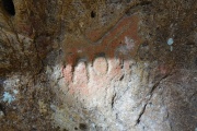
<< Our Photo Pages >> Cascadia Cave - Rock Art in United States in The West
Submitted by LongWayHome on Wednesday, 18 December 2024 Page Views: 6166
Rock ArtSite Name: Cascadia CaveCountry: United States
NOTE: This site is 49.719 km away from the location you searched for.
Region: The West Type: Rock Art
Nearest Town: Sweet Home Nearest Village: Cascadia
Latitude: 44.398184N Longitude: 122.458797W
Condition:
| 5 | Perfect |
| 4 | Almost Perfect |
| 3 | Reasonable but with some damage |
| 2 | Ruined but still recognisable as an ancient site |
| 1 | Pretty much destroyed, possibly visible as crop marks |
| 0 | No data. |
| -1 | Completely destroyed |
| 5 | Superb |
| 4 | Good |
| 3 | Ordinary |
| 2 | Not Good |
| 1 | Awful |
| 0 | No data. |
| 5 | Can be driven to, probably with disabled access |
| 4 | Short walk on a footpath |
| 3 | Requiring a bit more of a walk |
| 2 | A long walk |
| 1 | In the middle of nowhere, a nightmare to find |
| 0 | No data. |
| 5 | co-ordinates taken by GPS or official recorded co-ordinates |
| 4 | co-ordinates scaled from a detailed map |
| 3 | co-ordinates scaled from a bad map |
| 2 | co-ordinates of the nearest village |
| 1 | co-ordinates of the nearest town |
| 0 | no data |
Internal Links:
External Links:
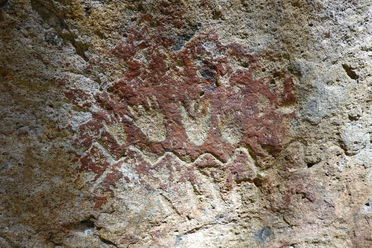
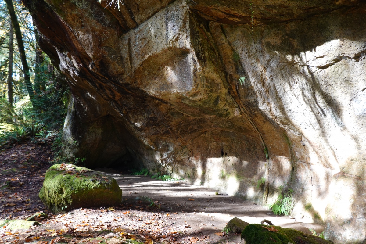
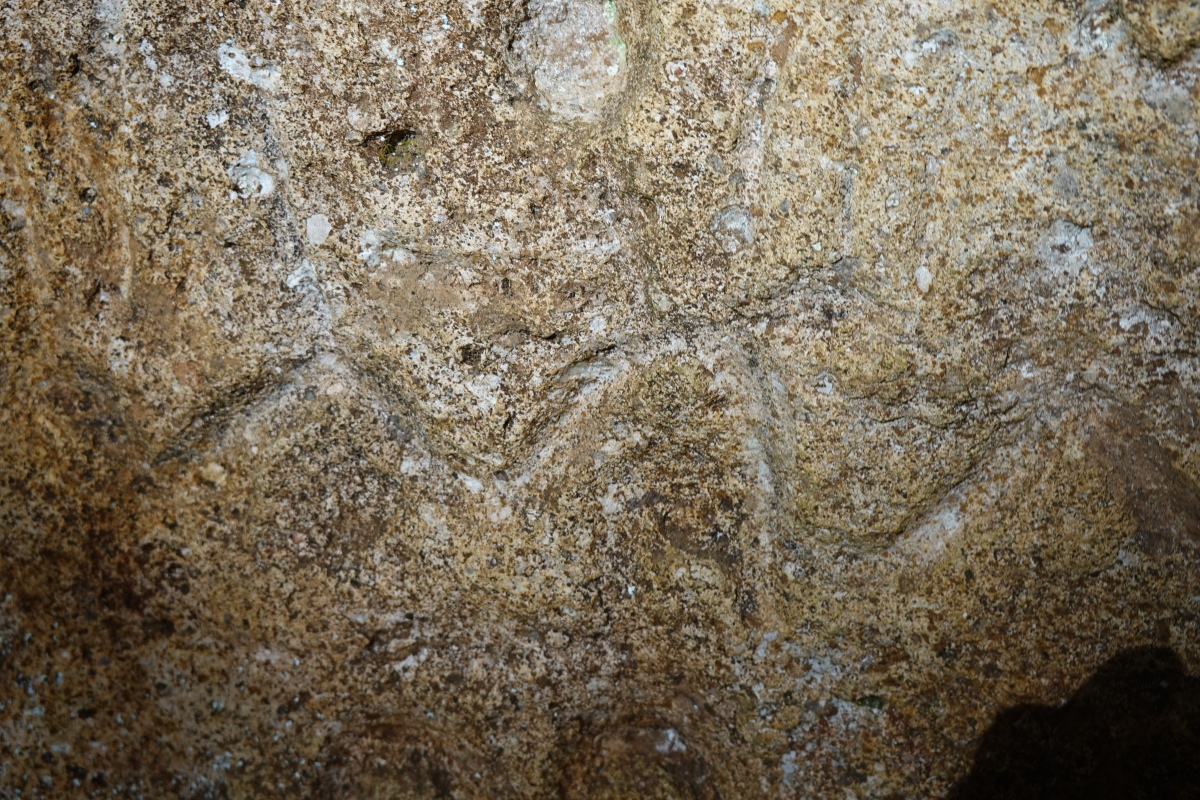
The site has been studied by archeologists from local universities (University of Oregon and Portland State University). These studies carbon date human activity up to 8000 years ago.
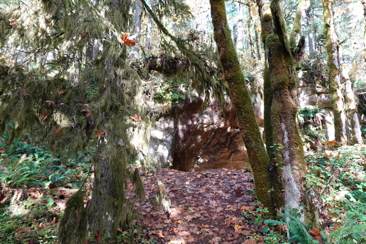
Cascadia Cave is located on the edge of a 145,000 acre parcel of land owned by the billionaire Hill family of Minnesota, whose original fortune was obtained from railroads. It is managed for timber production by Cascade Timber Consultants, from who permission should be obtained to visit. Access is via an approximately 1 mile trail that parallels the South Santiam River, from a trailhead located in Cascadia State Park. The majority of the trail is on public land.
You may be viewing yesterday's version of this page. To see the most up to date information please register for a free account.
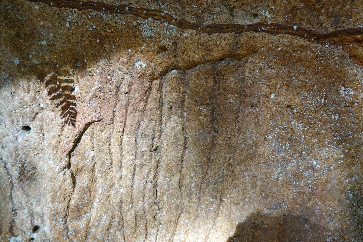
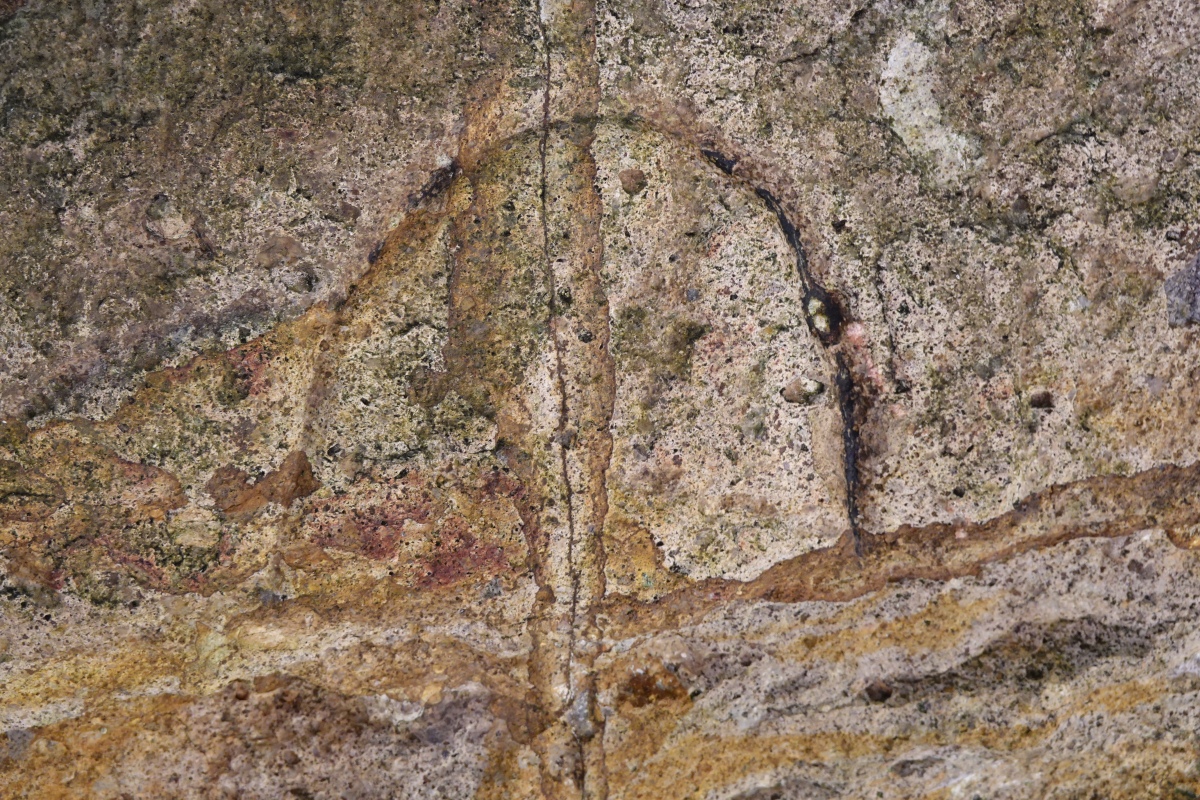

Do not use the above information on other web sites or publications without permission of the contributor.
Click here to see more info for this site
Nearby sites
Click here to view sites on an interactive map of the areaKey: Red: member's photo, Blue: 3rd party photo, Yellow: other image, Green: no photo - please go there and take one, Grey: site destroyed
Download sites to:
KML (Google Earth)
GPX (GPS waypoints)
CSV (Garmin/Navman)
CSV (Excel)
To unlock full downloads you need to sign up as a Contributory Member. Otherwise downloads are limited to 50 sites.
Turn off the page maps and other distractions
Nearby sites listing. In the following links * = Image available
103.7km E 99° Redmond Lava Caves Cave or Rock Shelter
125.6km N 352° Portland Art Museum* Museum
159.0km SE 135° Fort Rock Cave Cave or Rock Shelter
166.9km SE 131° Cougar Mountain Cave Cave or Rock Shelter
169.6km NNE 31° Lower Memaloose Island* Barrow Cemetery
174.4km NE 37° Columbia Hills State Park* Rock Art
174.5km NE 37° Otting Picture Rock* Rock Art
194.0km NE 41° Maryhill Stonehenge* Modern Stone Circle etc
238.2km SE 139° Paisley Caves* Cave or Rock Shelter
296.9km NE 54° Matalam Ancient Village or Settlement
302.0km SE 131° Petroglyph Lake Rock Art
307.2km N 4° Skystone* Natural Stone / Erratic / Other Natural Feature
313.0km N 354° Qwu?gwes Ancient Village or Settlement
315.2km S 177° Pluto's Cave* Cave or Rock Shelter
319.5km NE 38° Whale Island Petroglyphs Rock Art
326.4km SE 136° Lake County Rock art Rock Art
328.0km NE 51° Columbia Park* Ancient Village or Settlement
329.4km ESE 105° Stinkingwater Medicine Wheels* Stone Circle
333.1km S 176° Mount Shasta* Natural Stone / Erratic / Other Natural Feature
341.8km NNE 33° Vantage Petroglyphs* Rock Art
363.0km N 2° Burke Museum of Natural History and Culture* Museum
368.2km SE 127° Catlow Cave Cave or Rock Shelter
369.4km N 359° Haleets* Rock Art
422.2km SSW 200° Indian Island Shellmounds* Artificial Mound
422.3km N 350° Tse-whit-zen Barrow Cemetery
View more nearby sites and additional images


 We would like to know more about this location. Please feel free to add a brief description and any relevant information in your own language.
 Wir möchten mehr über diese Stätte erfahren. Bitte zögern Sie nicht, eine kurze Beschreibung und relevante Informationen in Deutsch hinzuzufügen.
 Nous aimerions en savoir encore un peu sur les lieux. S'il vous plaît n'hesitez pas à ajouter une courte description et tous les renseignements pertinents dans votre propre langue.
 Quisieramos informarnos un poco más de las lugares. No dude en añadir una breve descripción y otros datos relevantes en su propio idioma.