<< Our Photo Pages >> Andorsrud - Hillfort in Norway in Buskerud
Submitted by kenntha88 on Monday, 03 October 2022 Page Views: 730
Iron Age and Later PrehistorySite Name: AndorsrudCountry: Norway
NOTE: This site is 7.997 km away from the location you searched for.
Fylke: Buskerud Type: Hillfort
Nearest Town: Drammen
Latitude: 59.686971N Longitude: 10.115535E
Condition:
| 5 | Perfect |
| 4 | Almost Perfect |
| 3 | Reasonable but with some damage |
| 2 | Ruined but still recognisable as an ancient site |
| 1 | Pretty much destroyed, possibly visible as crop marks |
| 0 | No data. |
| -1 | Completely destroyed |
| 5 | Superb |
| 4 | Good |
| 3 | Ordinary |
| 2 | Not Good |
| 1 | Awful |
| 0 | No data. |
| 5 | Can be driven to, probably with disabled access |
| 4 | Short walk on a footpath |
| 3 | Requiring a bit more of a walk |
| 2 | A long walk |
| 1 | In the middle of nowhere, a nightmare to find |
| 0 | No data. |
| 5 | co-ordinates taken by GPS or official recorded co-ordinates |
| 4 | co-ordinates scaled from a detailed map |
| 3 | co-ordinates scaled from a bad map |
| 2 | co-ordinates of the nearest village |
| 1 | co-ordinates of the nearest town |
| 0 | no data |
Internal Links:
External Links:
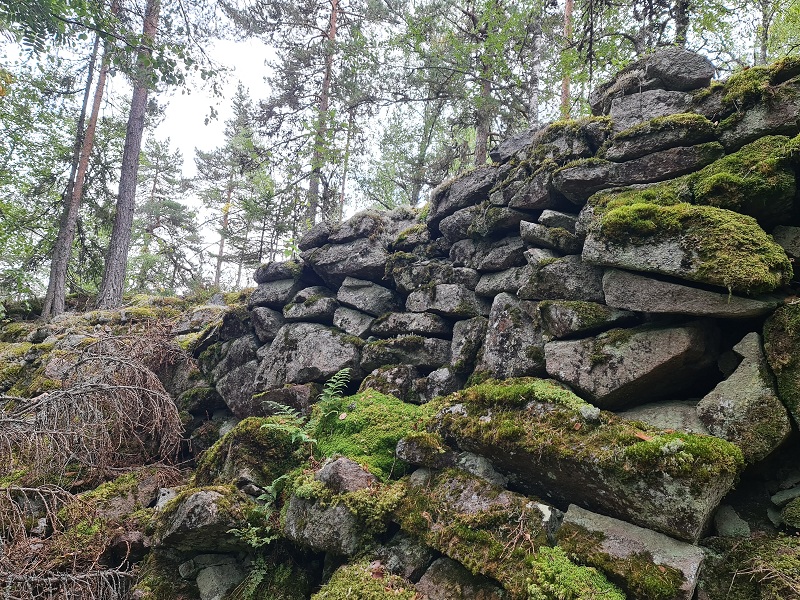
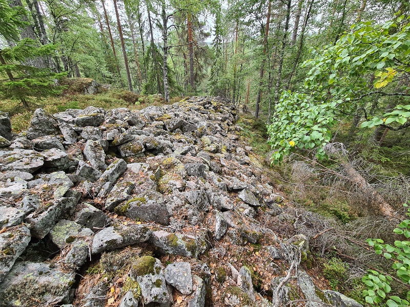
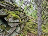
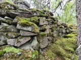
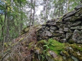
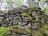
The wall begins up to the north edge of a block on a precipice on the North East edge of the hill, where it follows a small shelf, where it must have been difficult, but still possible, to enter the upper plateau. The wall consists of small quarry stones and is overgrown with moss. The wall runs with the terrain on the inner edge, the outer edge is quite nicely laid out, and ends on a shelf.
The wall is oriented North West - South Eeast. 10m in length, width 1.5m, height approx. 1.2m. The wall continues on a knoll above the shelf and becomes increasingly clear and well preserved. Direction East to West. For the first 10m it blends with the terrain and is very overgrown with moss. It is around 2 metres wide here.
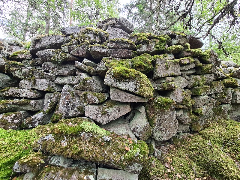
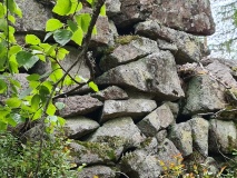
On the west side it is very nicely walled up and also well preserved. Here it is 7m long and 2,5 metres wide and one metre in height. The outer side drops off vertically for 2.5m. The upper 1,5 metres consists of large quarry stone, finely walled. This masonry rests on 2-3 up to 1.13 m l blocks on top of each other which lie partly across and partly lengthwise of the wall's length. At this point, the above-mentioned depression is blocked in the N-S direction with an 8m l, 13m wide barrier of large blocks which in the East side clockwise down towards the valley.
After the mentioned 7m, the main wall becomes increasingly wider and stronger and is broken 15m further W by an opening where a path runs NNW-SSSE. Wall width in the opening approx. 10.5m, outer height approx. 2.5m, inner approx. 1m. The opening is approx. 1m wide and filled with stone. Here is the castle's weakest point, and it is reasonable to assume that the entrance was here. The wall ends here in a blunt point. It is tempting to believe that the entrance originally had the shape of a geil.
From the opening and 7m to the west, the wall is approx 2m high on the outside but then flattens out with a couple of metres width. The wall then turns S-over and in the North West is a marked corner with dry masonry preserved in 1.5ms height.
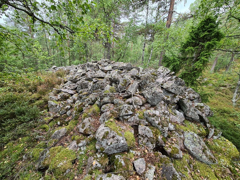
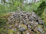
Where Plateau transitions into a lower-lying part, a depression is filled with large blocks. The south end of the west wall turns east in a length of 13m. It is 2m wide consisting of partly large blocks. It then continues on the lower-lying plateau along the edge of the hill towards the water consisting of blocks but mostly small quarry stones, it is quite raked and a little overgrown with heather and moss, it is 2-4 metres wide and around 0,5 metres in height. From the south edge of the plateau in the NNW-SE direction it is 20m in length. It then turns to the E-SE, goes over a number of knolls, and ends in the East-South East towards a drop down to the water and the valley. Total length approx. 30m. The last 20m of the wall blends in with the terrain, is very overgrown, but still fairly easy to see.
From the SE corner, it follows the plateaus SE side, direction N-S, now with the same dimensions as the wall on the upper plateus W side, width 2-4.5m, outer height up to 2.25m. Roughly in the middle, it consists in the central part of a large block, 2.45x0.91x0.70m, which lies in the longitudinal direction. The wall ends at the cliff of Plateau I's SE corner. Total l about 30m.
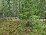
The inner fort area on the plateau is slightly hilly, with no damp places. Scattered deciduous and coniferous trees, fairly dense heather cover, scattered boulders, rocks during the day in some places.
You may be viewing yesterday's version of this page. To see the most up to date information please register for a free account.


Do not use the above information on other web sites or publications without permission of the contributor.
Click here to see more info for this site
Nearby sites
Click here to view sites on an interactive map of the areaKey: Red: member's photo, Blue: 3rd party photo, Yellow: other image, Green: no photo - please go there and take one, Grey: site destroyed
Download sites to:
KML (Google Earth)
GPX (GPS waypoints)
CSV (Garmin/Navman)
CSV (Excel)
To unlock full downloads you need to sign up as a Contributory Member. Otherwise downloads are limited to 50 sites.
Turn off the page maps and other distractions
Nearby sites listing. In the following links * = Image available
7.1km NE 55° Skogerveien* Rock Art
8.8km ENE 67° Åskollen* Rock Art
11.6km SSE 154° Hammerøi Mound* Round Barrow(s)
11.9km NNE 28° Bjørkhaugen* Round Barrow(s)
12.1km NE 47° Hallvardshaugene* Round Barrow(s)
12.6km SSE 150° Duni* Barrow Cemetery
13.9km WNW 288° Besseberghaugen* Barrow Cemetery
14.4km S 186° Østby-Kopstadlinna* Barrow Cemetery
15.6km NNE 20° Kapellhaugen* Barrow Cemetery
16.3km S 173° Stufsrudborgen Hillfort* Hillfort
16.7km S 187° Hof Skole* Barrow Cemetery
17.0km NNE 18° Kjempehaugen* Round Barrow(s)
17.4km S 183° Haugestad* Barrow Cemetery
18.7km S 183° Rønneberg* Barrow Cemetery
20.4km WSW 248° Tjuvberget* Hillfort
21.0km NW 312° Myremoen* Stone Circle
21.1km NW 313° Myreslottet* Hillfort
21.9km WSW 239° Hostvetveien-Evju* Barrow Cemetery
21.9km WSW 240° Gunnes* Barrow Cemetery
22.0km SW 236° Evju* Barrow Cemetery
23.4km SW 216° Tjuvbørje* Hillfort
23.7km SE 135° Røysene Cairns* Clava Cairn
23.7km ESE 122° Holtvedtryggen* Stone Circle
23.9km SE 135° Rødtangen Dolmen* Burial Chamber or Dolmen
24.2km S 175° Holmsvatnet-Tjuvberget Hillfort* Hillfort
View more nearby sites and additional images





 We would like to know more about this location. Please feel free to add a brief description and any relevant information in your own language.
 Wir möchten mehr über diese Stätte erfahren. Bitte zögern Sie nicht, eine kurze Beschreibung und relevante Informationen in Deutsch hinzuzufügen.
 Nous aimerions en savoir encore un peu sur les lieux. S'il vous plaît n'hesitez pas à ajouter une courte description et tous les renseignements pertinents dans votre propre langue.
 Quisieramos informarnos un poco más de las lugares. No dude en añadir una breve descripción y otros datos relevantes en su propio idioma.