<< Our Photo Pages >> Khirbat Za'aq - Ancient Village or Settlement in Israel
Submitted by motist on Wednesday, 29 March 2017 Page Views: 1341
DigsSite Name: Khirbat Za'aq Alternative Name: Horbvat Za'aqCountry: Israel
NOTE: This site is 6.14 km away from the location you searched for.
Type: Ancient Village or Settlement
Nearest Town: Beer Sheva Nearest Village: Kibuts Dvira
Latitude: 31.414664N Longitude: 34.867587E
Condition:
| 5 | Perfect |
| 4 | Almost Perfect |
| 3 | Reasonable but with some damage |
| 2 | Ruined but still recognisable as an ancient site |
| 1 | Pretty much destroyed, possibly visible as crop marks |
| 0 | No data. |
| -1 | Completely destroyed |
| 5 | Superb |
| 4 | Good |
| 3 | Ordinary |
| 2 | Not Good |
| 1 | Awful |
| 0 | No data. |
| 5 | Can be driven to, probably with disabled access |
| 4 | Short walk on a footpath |
| 3 | Requiring a bit more of a walk |
| 2 | A long walk |
| 1 | In the middle of nowhere, a nightmare to find |
| 0 | No data. |
| 5 | co-ordinates taken by GPS or official recorded co-ordinates |
| 4 | co-ordinates scaled from a detailed map |
| 3 | co-ordinates scaled from a bad map |
| 2 | co-ordinates of the nearest village |
| 1 | co-ordinates of the nearest town |
| 0 | no data |
Internal Links:
External Links:
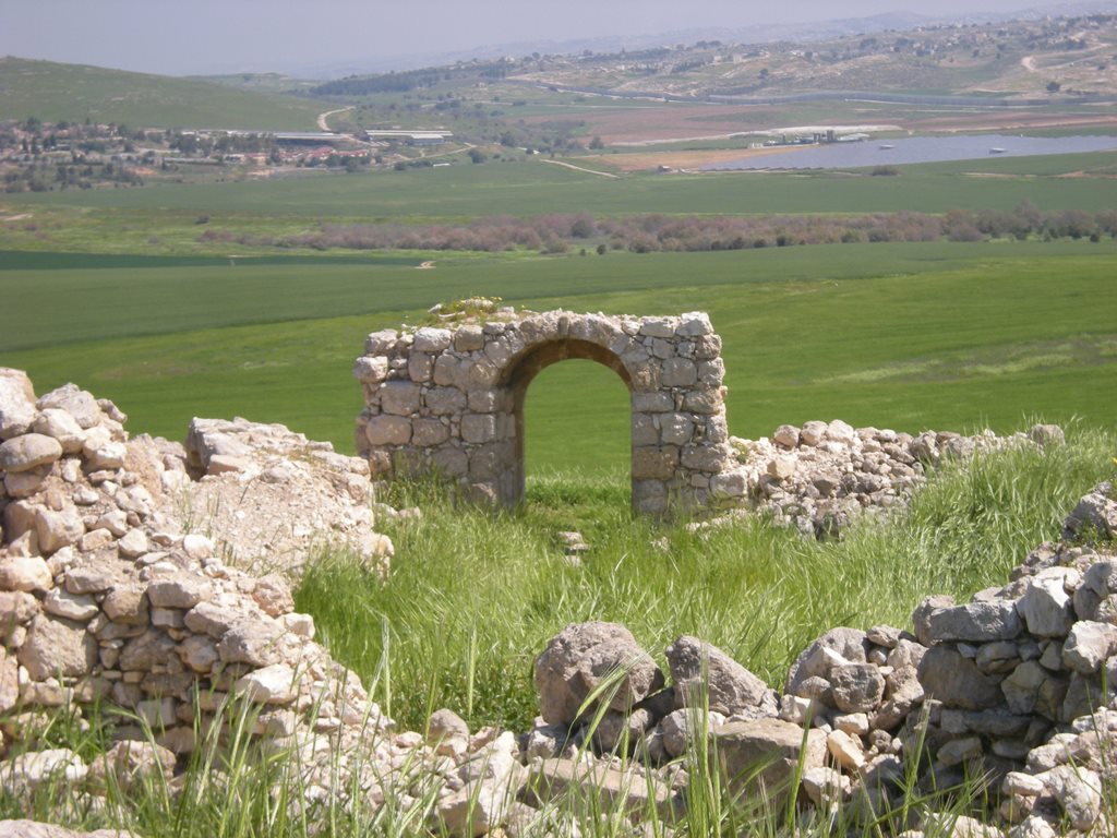
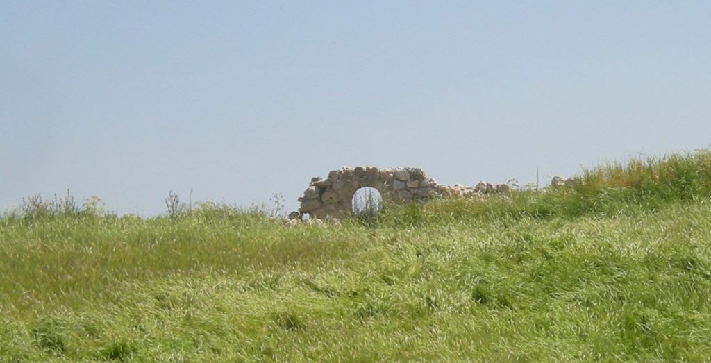
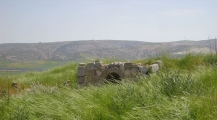
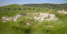
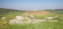
Horbat Za‘aq is located in the southern Judean
Shephelah, on a hill north of Kibbutz Lahav,
on the eastern bank of Nahal Kelekh NIG 187565/591340; OIG 137565/091340;
. The site lies on soft Eocene chalk
bedrock, covered by a thin layer of harder
nari rock. Guérin, who visited the site in
1868 (1868–1869:244), described the ancient
remains visible on the surface. His Arab escorts
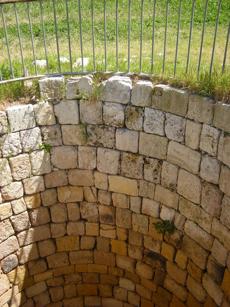
recounted that the site was named after a
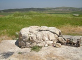
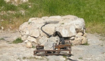
nearby ancient well (Arabic: Bir Za‘aq). At the
beginning of the twentieth century, the site was
again visited, this time by Bliss and Macalister
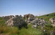
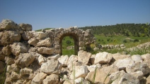
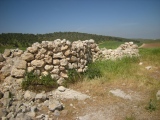
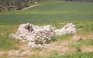
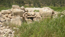
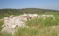
(1902: Pls. 94, 95), who described the vestiges
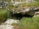
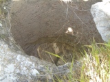
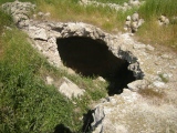
of the buildings and the subterranean hiding
complexes there.
Goren and Fabian (1988) excavated the
village and the hiding complexes from the
Roman and Byzantine periods, which are
situated east of the burial ground. It should be
noted that no remains of an Iron Age settlement
have been found as yet, and it is possible that
they lie buried beneath the ruins of the Arab
village, which was deserted in 1948.
A short salvage excavation was conducted at
the burial ground by David Alon in April 1976
(HA 1976),1 following looting that severely
damaged the rock-cut tombs and their contents.
Based on the short report, it is sometimes
unclear which tombs Alon excavated, and to which he assigned numbers.The burial ground comprises two clusters
of rock-cut tombs, about 10 m apart .
The roofs of some of the tombs have collapsed
over the years, and others are today in danger of
collapse. The present excavation was conducted
mainly in the northern part of the burial ground,
while in the southern part, only Tomb 20 was
cleaned and partially re-excavated, and Tomb
25 was partially excavated for the first time.
The majority of the tombs date to Iron Age
IIB–III. Tomb 13, dated to MB IIB–C (see
Yezerski and Nahshoni, this volume), was
excavated by Alon and comprises an elongated
chamber (c. 1.5 m) with a low ceiling, and may
have originally been a natural cave (Plan 2). The
entrance had collapsed over the years. Tomb 29
is inaccessible and little data is available, while
Tomb 48 was examined by Alon and dated by
him to the Roman or Byzantine period. These
three caves are completely ruined today. In
addition, Tombs 22 and 23 were reused in the
Roman period .
The Iron Age II –III Rock-Cut Tombs
The Iron Age II –III Rock-Cut Tombs
Some of the tombs excavated by Alon in 1976
were relocated in the renewed excavation
of 1994–1996, and retained their original
numbers. Some of these were cleaned (Tombs
17, 21, 24), and some were partially reexcavated
(Tombs 5, 9, 18–20). Three tombs
were excavated for the first time in 1994–1996
(Tombs 22, 23, 25), while several noted by
Alon (in the registration of finds) could not be
located (Tombs 1, 3, 8, 12, 14, 15). The tombsnumbered 30 and up were left untouched for
future research.
The rock-cut tombs are described
sequentially below, from the entrance inward,
and thus the terms ‘right’, ‘left’ and ‘back’
wall, etc., should be understood accordingly.
The chronological framework of the burial
ground within the Iron Age IIB–III is discussed separately with the finds (see Yezerski and
Nahshoni, this volume).
You may be viewing yesterday's version of this page. To see the most up to date information please register for a free account.


These are just the first 25 photos of Khirbat Za'aq. If you log in with a free user account you will be able to see our entire collection.
Do not use the above information on other web sites or publications without permission of the contributor.
Click here to see more info for this site
Nearby sites
Click here to view sites on an interactive map of the areaKey: Red: member's photo, Blue: 3rd party photo, Yellow: other image, Green: no photo - please go there and take one, Grey: site destroyed
Download sites to:
KML (Google Earth)
GPX (GPS waypoints)
CSV (Garmin/Navman)
CSV (Excel)
To unlock full downloads you need to sign up as a Contributory Member. Otherwise downloads are limited to 50 sites.
Turn off the page maps and other distractions
Nearby sites listing. In the following links * = Image available
4.8km SW 217° Khirbet Abu Hof (chaf)* Ancient Village or Settlement
12.4km SSE 165° Shoket Junction* Ancient Village or Settlement
14.0km NNE 20° Amatzia* Ancient Mine, Quarry or other Industry
16.8km N 354° Tel Lachish* Artificial Mound
16.9km SSW 205° Beer Sheva north* Ancient Village or Settlement
19.1km S 188° Tel Be'er Shev'a* Ancient Village or Settlement
19.7km NW 319° Tel El-Hesi Ancient Village or Settlement
19.9km ESE 110° Khirbat Anim* Ancient Temple
20.1km NNW 347° Ziklag* Ancient Village or Settlement
21.1km N 8° Bet Guvrin-Maresha National Park* Ancient Village or Settlement
22.2km E 92° Khirbat Susya* Ancient Village or Settlement
22.4km SSW 203° Bir Al Safadi* Ancient Village or Settlement
23.9km N 1° Tel Burna* Ancient Village or Settlement
23.9km N 1° Tel Burna* Ancient Village or Settlement
24.8km N 11° Tel Goded Ancient Village or Settlement
25.1km W 261° Tel Haror Ancient Village or Settlement
26.1km ENE 62° Cave of the Patriarchs Rock Cut Tomb
26.4km NNE 22° Tel Burgin* Ancient Village or Settlement
27.9km NNE 21° Khirbat Ethri* Ancient Village or Settlement
28.6km ESE 121° tel 'Arad* Ancient Village or Settlement
31.9km N 357° Tel Gath Ancient Village or Settlement
32.4km NNE 12° Tel Azeqa Ancient Village or Settlement
32.5km NNE 15° Khirbet Qeiyafa* Ancient Village or Settlement
32.8km NNE 23° 2,000-year-old ‘Emperor’s Road’ near Beit Shemesh* Ancient Trackway
33.4km NNE 21° Ramat Beit Shemesh ritual baths* Ancient Village or Settlement
View more nearby sites and additional images





 We would like to know more about this location. Please feel free to add a brief description and any relevant information in your own language.
 Wir möchten mehr über diese Stätte erfahren. Bitte zögern Sie nicht, eine kurze Beschreibung und relevante Informationen in Deutsch hinzuzufügen.
 Nous aimerions en savoir encore un peu sur les lieux. S'il vous plaît n'hesitez pas à ajouter une courte description et tous les renseignements pertinents dans votre propre langue.
 Quisieramos informarnos un poco más de las lugares. No dude en añadir una breve descripción y otros datos relevantes en su propio idioma.