<< Our Photo Pages >> Hegura-jima island - Cairn in Japan in Honshū
Submitted by Aska on Friday, 12 April 2024 Page Views: 1495
Multi-periodSite Name: Hegura-jima island Alternative Name: 舳倉島Country: Japan Region: Honshū Type: Cairn
Nearest Town: Wajima (Ishikawa pref.) Nearest Village: Hegura-jima island 舳倉í
Latitude: 37.854300N Longitude: 136.923630E
Condition:
| 5 | Perfect |
| 4 | Almost Perfect |
| 3 | Reasonable but with some damage |
| 2 | Ruined but still recognisable as an ancient site |
| 1 | Pretty much destroyed, possibly visible as crop marks |
| 0 | No data. |
| -1 | Completely destroyed |
| 5 | Superb |
| 4 | Good |
| 3 | Ordinary |
| 2 | Not Good |
| 1 | Awful |
| 0 | No data. |
| 5 | Can be driven to, probably with disabled access |
| 4 | Short walk on a footpath |
| 3 | Requiring a bit more of a walk |
| 2 | A long walk |
| 1 | In the middle of nowhere, a nightmare to find |
| 0 | No data. |
| 5 | co-ordinates taken by GPS or official recorded co-ordinates |
| 4 | co-ordinates scaled from a detailed map |
| 3 | co-ordinates scaled from a bad map |
| 2 | co-ordinates of the nearest village |
| 1 | co-ordinates of the nearest town |
| 0 | no data |
Internal Links:
External Links:

Northern point around Ebisu-jinja (恵比寿神社) shrine ; 37.85429N,136.92313E
Behind Kannondō (観音堂) temple ; 37.85292N,136.91762E
Across Ryūjin-ike (龍神池 竜神池) pond ; 37.85253N,136.91644E
Beyond Yasaka aka Gion jinja (八坂神社 祇園神社) shrine ; 37.85022N,136.91386E
On the western shore ; 37.84854N,138.91299E
Southern point ; 37.84459N,136.91388E
In front of OkutsuHime jinja (奥津比咩神社) shrine ; 37.84568N,136.91457E
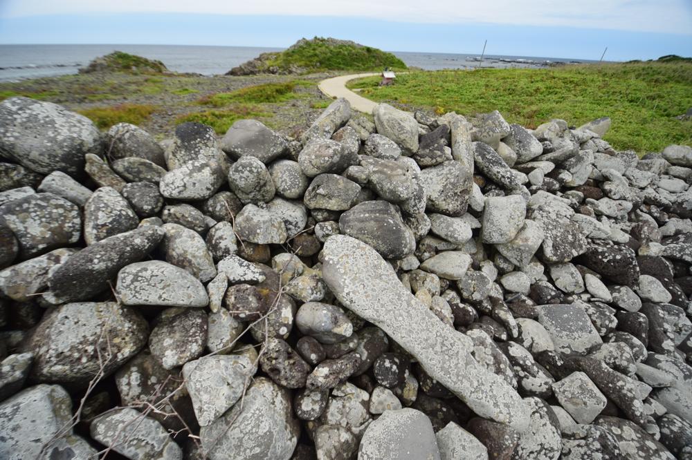
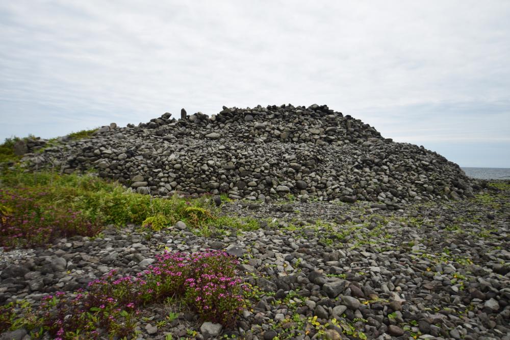
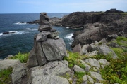
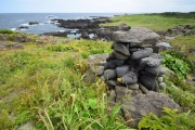
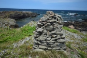
The island is known as the fishery point for 'Ama' diving ladies and these cairns are supposed to be a guiding landmark for them. The great mounds on the southern point might be most the significant landmark.
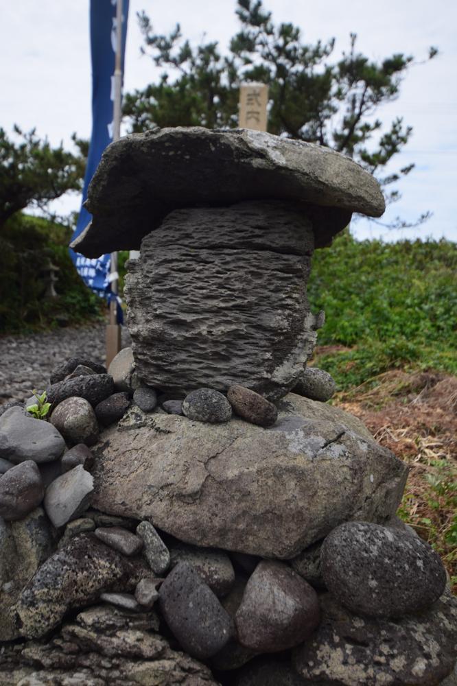
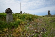
The mushroom-shaped cairns on the northern point are reminiscent of Kasaishi on Mishima island and the pair of cairns with linga and yoni resemble the pyramids of Tenjin Kuzutama Jinja shrine in Tsushima islands, so they all might belong to same the Sea of Japan / East Sea culture.
You may be viewing yesterday's version of this page. To see the most up to date information please register for a free account.


Do not use the above information on other web sites or publications without permission of the contributor.
Click here to see more info for this site
Nearby sites
Click here to view sites on an interactive map of the areaKey: Red: member's photo, Blue: 3rd party photo, Yellow: other image, Green: no photo - please go there and take one, Grey: site destroyed
Download sites to:
KML (Google Earth)
GPX (GPS waypoints)
CSV (Garmin/Navman)
CSV (Excel)
To unlock full downloads you need to sign up as a Contributory Member. Otherwise downloads are limited to 50 sites.
Turn off the page maps and other distractions
Nearby sites listing. In the following links * = Image available
66.0km SSE 158° Mawaki* Timber Circle
66.0km S 169° Ishibotokeyama* Standing Stones
99.3km S 177° Sekidōsan temple complex ruin* Modern Stone Circle etc
116.3km S 176° Kokutai-ji temple* Modern Stone Circle etc
120.9km SE 139° Teraji* Timber Circle
123.9km SE 138° Chōjagahara* Ancient Village or Settlement
129.8km S 182° Sakura-machi* Timber Circle
131.8km E 84° Chōkoku-ji temple* Modern Stone Circle etc
146.5km S 189° Tentoku-in temple (in Kanazawa)* Modern Stone Circle etc
147.1km S 191° Chikamori* Timber Circle
147.9km SSW 191° Okyōzuka* Ancient Village or Settlement
153.7km SSW 194° IshinokiZuka* Stone Circle
167.4km SSE 151° Shingō Kofungun* Chambered Cairn
167.6km SSE 152° Wappara* Stone Circle
168.8km E 94° Jōsen-ji temple* Modern Stone Circle etc
171.5km SE 130° Nezuka Iseki* Chambered Cairn
171.5km SE 129° Waguri Kofun* Passage Grave
171.6km SE 130° Asahi Gōro Kofun* Chambered Cairn
172.2km SE 130° Oni-no Kama Kofun* Chambered Cairn
172.7km SE 141° Yoshimizu Kofun* Passage Grave
172.8km SE 137° Yoshi Kofungun* Passage Grave
173.3km SE 140° Futagozuka Kofun (in Nagano)* Chambered Cairn
173.3km SSE 168° Ema Family House Garden* Modern Stone Circle etc
174.6km SE 133° Hayashiguro Kofun* Passage Grave
176.0km S 169° Tateishi Iseki Kuromurehi* Standing Stone (Menhir)
View more nearby sites and additional images


 We would like to know more about this location. Please feel free to add a brief description and any relevant information in your own language.
 Wir möchten mehr über diese Stätte erfahren. Bitte zögern Sie nicht, eine kurze Beschreibung und relevante Informationen in Deutsch hinzuzufügen.
 Nous aimerions en savoir encore un peu sur les lieux. S'il vous plaît n'hesitez pas à ajouter une courte description et tous les renseignements pertinents dans votre propre langue.
 Quisieramos informarnos un poco más de las lugares. No dude en añadir una breve descripción y otros datos relevantes en su propio idioma.