Featured: Explore Scotland (and everywhere else) with our Megalithic Portal iPhone app

Explore Scotland (and everywhere else) with our Megalithic Portal iPhone app

Random Image


Reperry Cross

The Stone Circles of Britain, Ireland and Brittany, Aubrey Burl

The Stone Circles of Britain, Ireland and Brittany, Aubrey Burl

Who's Online

There are currently, 348 guests and 6 members online.

You are a guest. To join in, please register for free by clicking here

Sponsors

<< Our Photo Pages >> Knap Hill - Causewayed Enclosure in England in Wiltshire

Submitted by bec-zog on Monday, 02 May 2022  Page Views: 26204

Neolithic and Bronze AgeSite Name: Knap Hill Alternative Name: Knapp Hill
Country: England County: Wiltshire Type: Causewayed Enclosure
Nearest Town: Marlborough  Nearest Village: Alton Barnes
Map Ref: SU121636  Landranger Map Number: 173
Latitude: 51.371332N  Longitude: 1.827562W
Condition:
5Perfect
4Almost Perfect
3Reasonable but with some damage
2Ruined but still recognisable as an ancient site
1Pretty much destroyed, possibly visible as crop marks
0No data.
-1Completely destroyed
3 Ambience:
5Superb
4Good
3Ordinary
2Not Good
1Awful
0No data.
4 Access:
5Can be driven to, probably with disabled access
4Short walk on a footpath
3Requiring a bit more of a walk
2A long walk
1In the middle of nowhere, a nightmare to find
0No data.
3 Accuracy:
5co-ordinates taken by GPS or official recorded co-ordinates
4co-ordinates scaled from a detailed map
3co-ordinates scaled from a bad map
2co-ordinates of the nearest village
1co-ordinates of the nearest town
0no data
4

Internal Links:
External Links:

I have visited· I would like to visit

SumDoood would like to visit

TheCaptain visited on 18th Jul 2002 - their rating: Cond: 3 Amb: 4 Access: 4

Bladup Andy B lunaman FrothNinja have visited here
Knap Hill
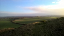
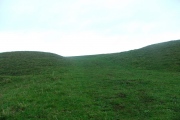
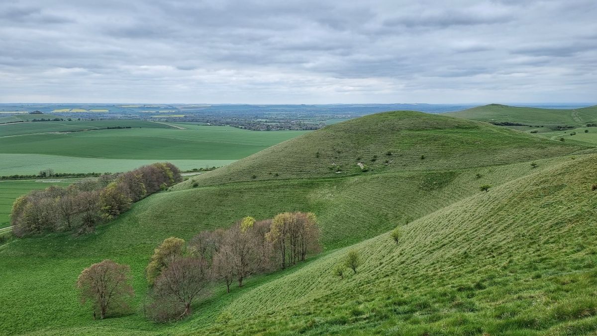
Knap Hill submitted by Horatio : Looking across from the Tan Hill Way to Knap Hill and in the distance (RH horizon) Adams Grave Burial chamber. Commanding views all around. As a causeway enclosure pretty substantial size at 2.4 hectares and is notable as thd first causeway enclosure to have been excavated. (Vote or comment on this photo)
Situated in the vale of Pewsey this is a Neolithic causewayed enclosure, or camp approximately 1.6 hectare in size. On the north-west side seven ditch sections follow the 255m contour. The ditch dates to 3500BC. Windmill Hill & Beaker (date 2200BC) pottery has been found.
You may be viewing yesterday's version of this page. To see the most up to date information please register for a free account.
Knap Hill
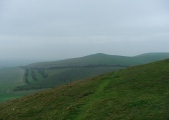
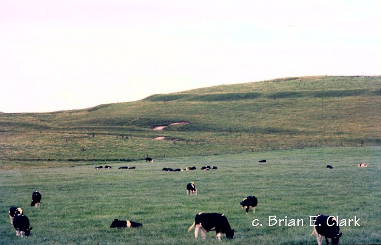
Knap Hill submitted by bec-zog : Knap Hill Neolithic Causewayed Enclosure (1 comment - Vote or comment on this photo)

Knap Hill
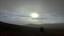
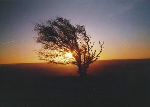
Knap Hill submitted by Bladup : A tree on the slope of Knap Hill and the Midwinter sunrise. (Vote or comment on this photo)

Knap Hill
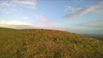
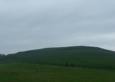
Knap Hill submitted by bec-zog : Knap Hill (2 comments - Vote or comment on this photo)

Knap Hill
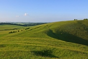
Knap Hill submitted by camperman : Knap Hill on the edge of Pewsey Vale looking east. (Vote or comment on this photo)

Knap Hill
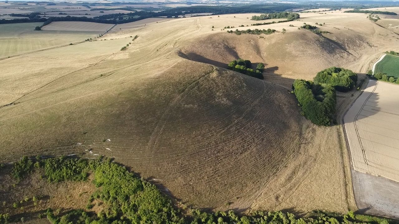
Knap Hill submitted by camperman : Knap Hill causewayed enclosure, an aerial view at the height of the scorching Summer of 2022.

Knap Hill
Knap Hill submitted by Antonine : 2014

Knap Hill
Knap Hill submitted by MikeAttwell : Knap Hill taken from the north west in May 2014.

Knap Hill
Knap Hill submitted by MikeAttwell : Knap Hill taken in May 2014 from the north-west.

Knap Hill
Knap Hill submitted by HarryTwenty : Another shot of the light show. There are 5 photos in this sequence.

Knap Hill
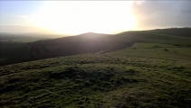
Knap Hill submitted by HarryTwenty : Looking west at a great light show over Adam's Grave. It's all about neolithic location, location, location : )

Knap Hill
Knap Hill submitted by HarryTwenty : Southern eastern tip looking south.

Knap Hill
Knap Hill submitted by HarryTwenty : Eastern side looking south.

Knap Hill
Knap Hill submitted by HarryTwenty : North east side of the hill looking south west, showing some of the earthworks.

Knap Hill
Knap Hill submitted by HarryTwenty : North western side of the hill looking west towards Adam's Grave. Got hit by a sudden rain squall, you can see the raindrops on the camera lens, but it gave me this great picture.

Knap Hill Bowl Barrow 1
Knap Hill Bowl Barrow 1 submitted by HarryTwenty : Looking southwards at the barrow.

Knap Hill Bowl Barrow 1
Knap Hill Bowl Barrow 1 submitted by HarryTwenty : Looking eastwards at the barrow on the top of Knap Hill.

Knap Hill Bowl Barrow 1
Knap Hill Bowl Barrow 1 submitted by HarryTwenty : Stood on the barrow looking west towards Adam's Grave.

Knap Hill
Knap Hill submitted by Humbucker : Knap Hill taken from Walkers Hill,

Knap Hill
Knap Hill submitted by Bladup : Knap Hill [Left] with Adam's grave on the right in the red morning sun.

Knap Hill
Knap Hill submitted by postman : Looking up through one of the entrances

Knap Hill
Knap Hill submitted by postman : Walking the much denuded southern bank, with Adams grave in the yonder

Knap Hill
Knap Hill submitted by postman : On approach vector 243.45

Knap Hill
Knap Hill submitted by Creative Commons : North from Knap Hill With the earthworks of the neolithic causewayed enclosure of Knap Hill in the foreground. Copyright Ian Capper and licensed for reuse under the Creative Commons Licence.

Knap Hill
Knap Hill submitted by Creative Commons : Knap Hill and Walkers Hill. Knap Hill on the left, surmounted by a neolithic causewayed enclosure, and Walkers Hill beyond on the right, surmounted by the long barrow of Adam's Grave, with the line of Cross Dyke in the dip to its right. Viewed against evening sun. Copyright Ian Capper and licensed for reuse under the Creative Commons Licence.

These are just the first 25 photos of Knap Hill. If you log in with a free user account you will be able to see our entire collection.

Do not use the above information on other web sites or publications without permission of the contributor.
Click here to see more info for this site

Nearby sites

Click here to view sites on an interactive OS map

Key: Red: member's photo, Blue: 3rd party photo, Yellow: other image, Green: no photo - please go there and take one, Grey: site destroyed

Download sites to:
KML (Google Earth)
GPX (GPS waypoints)
CSV (Garmin/Navman)
CSV (Excel)

To unlock full downloads you need to sign up as a Contributory Member. Otherwise downloads are limited to 50 sites.


Turn off the page maps and other distractions

Nearby sites listing. In the following links * = Image available
 54m WNW 292° Knap Hill Bowl Barrow 1* Round Barrow(s) (SU12056362)
 131m W 261° Knap Hill Bowl Barrow 2 Round Barrow(s) (SU11976358)
 499m W 270° Adam's Grave's Round Barrows 1* Round Barrow(s) (SU116636)
 666m NW 310° New Town Tumuli Round Barrow(s) (SU11596403)
 698m W 270° Adam's Graves Round Barrows 2* Round Barrow(s) (SU114636)
 891m WSW 256° Adam's Grave (Alton Barnes)* Long Barrow (SU1123363386)
 969m W 267° Walkers Hill Earthwork* Misc. Earthwork (SU11136355)
 1.4km NW 310° Eald Burh Ancient Village or Settlement (SU11016450)
 1.4km W 281° Milk Hill Bowl Barrow* Round Barrow(s) (SU10716387)
 1.4km W 275° Alton Barnes White Horse* Hill Figure or Geoglyph (SU10676373)
 1.7km NNE 21° Wansdyke* Misc. Earthwork (SU127652)
 1.8km E 81° Gopher Wood Barrows Barrow Cemetery (SU139639)
 1.9km SW 223° Broad Well (Alton Priors)* Holy Well or Sacred Spring (SU108622)
 2.0km SW 221° All Saints (Alton Priors)* Holed Stone (SU108621)
 2.0km W 276° Milk Hill Cross Dyke* Misc. Earthwork (SU10086381)
 2.1km SW 221° Alton Barnes Modern Stone* Modern Stone Circle etc (SU10736202)
 2.2km N 352° Langdean Bottom* Stone Circle (SU11806574)
 2.6km NW 314° All Cannings Down Tumulus* Round Barrow(s) (SU1023765380)
 2.6km NNW 338° Harestone Down Tumulus* Round Barrow(s) (SU1111766058)
 2.9km NNW 344° Harestone Down* Stone Circle (SU113664)
 2.9km WNW 289° Tan Hill Tumuli* Round Barrow(s) (SU0932164561)
 3.3km WNW 289° Tan Hill Cross Dyke* Misc. Earthwork (SU0900364643)
 3.3km WSW 247° All Saints Church Stone* Standing Stone (Menhir) (SU0908262340)
 3.3km N 352° East Kennett longbarrow* Long Barrow (SU11636684)
 3.4km NE 45° West Woods Sarsen Stones* Natural Stone / Erratic / Other Natural Feature (SU145660)
View more nearby sites and additional images

<< Cairn and Cist west of Llyn Gelli Gain

Kerb Cairn east of Craiglaseithin >>

Please add your thoughts on this site

Children Of The Stones DVD

Children Of The Stones DVD

Sponsors

Auto-Translation (Google)

Translate from English into:

"Knap Hill" | Login/Create an Account | 4 News and Comments
  
Go back to top of page    Comments are owned by the poster. We aren't responsible for their content.
Street View by coldrum on Wednesday, 17 March 2010
(User Info | Send a Message)

View Larger Map
[ Reply to This ]

Re: Knapp Hill by coldrum on Monday, 05 October 2009
(User Info | Send a Message)
Pastscape:

http://www.pastscape.org.uk/hob.aspx?hob_id=221112
[ Reply to This ]

Re: Knapp Hill by bec-zog on Monday, 20 October 2003
(User Info | Send a Message)
It was described as .....Neolithic causewayed camp....
HILL FORT is a misnomer in most cases.

Initial ditch silting RC dated @3500BC
The scarce findings of Windmill Hill pottery indicate the site was abandoned after a relatively short period. When ditches were almost filled with silt the Beaker pottery 2200BC was deposited.
Later in the Bronze age 3 Barrows were positioned inside the enclosure. There is a 1st centuary AD Romano - British enclosure adjoining the site due N of the neolithic structure with a NE entrance.
Ref. Connah:W.A.M. 60(1965) 1
[ Reply to This ]

Re: Knapp Hill by Anonymous on Thursday, 19 June 2003
This site is not a hill fort. It is a neolithic causwayed enclosure (the same as windmill hill), probably from circa 3,500 BC, and no doubt related to Adams grave which is probably of a similar age and on the next peak along the ridge to the west. Both also no doubt related to the Wessex Ridgeway which runs between them.
Causwayed enclosures are probably early ritual centres and it is unlikely that they are related to residence, the evidence is for periodic feating at these sites, perhaps as part of a seasonal round. As an example of a causwayed enclosure this is quite well preserved, better in my opinion than the much better studied Windmill Hill. The banking is still quite evident round about 2/3 of the site, while there seems to be no ditch or bank, on the side adjacent to the steep drop off to the escarpment. This is quite typical of this class of site, not just in Britain but across Europe (they are as widely distributed as long barrows). They are often in dramatic physical locations like this one and often make use of the landscape to demarcate a sacred area. They are first monuments to enclose a space, perhaps making it sacred, and also through the causways delineating ways of accessing that sacred space. This is a practice which is taken up in the henge & stone circle tradition of the next millenia, and these monuments can perhaps be interpreted as precursors of henges. Certainly the best description for Stonehenge 1 (circa 3000 BC) is as a late causwayed enclosure.
[ Reply to This ]

Your Name: Anonymous [ Register Now ]
Subject:


Add your comment or contribution to this page. Spam or offensive posts are deleted immediately, don't even bother

<<< What is five plus one as a number? (Please type the answer to this question in the little box on the left)
You can also embed videos and other things. For Youtube please copy and paste the 'embed code'.
For Google Street View please include Street View in the text.
Create a web link like this: <a href="https://www.megalithic.co.uk">This is a link</a>  

Allowed HTML is:
<p> <b> <i> <a> <img> <em> <br> <strong> <blockquote> <tt> <li> <ol> <ul> <object> <param> <embed> <iframe>

We would like to know more about this location. Please feel free to add a brief description and any relevant information in your own language.
Wir möchten mehr über diese Stätte erfahren. Bitte zögern Sie nicht, eine kurze Beschreibung und relevante Informationen in Deutsch hinzuzufügen.
Nous aimerions en savoir encore un peu sur les lieux. S'il vous plaît n'hesitez pas à ajouter une courte description et tous les renseignements pertinents dans votre propre langue.
Quisieramos informarnos un poco más de las lugares. No dude en añadir una breve descripción y otros datos relevantes en su propio idioma.