<< Our Photo Pages >> Starveall - Chambered Tomb in England in Gloucestershire
Submitted by thecaptain on Monday, 29 March 2004 Page Views: 9478
Neolithic and Bronze AgeSite Name: Starveall Alternative Name: Hawkesbury IICountry: England County: Gloucestershire Type: Chambered Tomb
Nearest Town: Chipping Sodbury Nearest Village: Hawkesbury Upton
Map Ref: ST79408792 Landranger Map Number: 172
Latitude: 51.589751N Longitude: 2.298747W
Condition:
| 5 | Perfect |
| 4 | Almost Perfect |
| 3 | Reasonable but with some damage |
| 2 | Ruined but still recognisable as an ancient site |
| 1 | Pretty much destroyed, possibly visible as crop marks |
| 0 | No data. |
| -1 | Completely destroyed |
| 5 | Superb |
| 4 | Good |
| 3 | Ordinary |
| 2 | Not Good |
| 1 | Awful |
| 0 | No data. |
| 5 | Can be driven to, probably with disabled access |
| 4 | Short walk on a footpath |
| 3 | Requiring a bit more of a walk |
| 2 | A long walk |
| 1 | In the middle of nowhere, a nightmare to find |
| 0 | No data. |
| 5 | co-ordinates taken by GPS or official recorded co-ordinates |
| 4 | co-ordinates scaled from a detailed map |
| 3 | co-ordinates scaled from a bad map |
| 2 | co-ordinates of the nearest village |
| 1 | co-ordinates of the nearest town |
| 0 | no data |
Internal Links:
External Links:
I have visited· I would like to visit
MegalithicChaton would like to visit
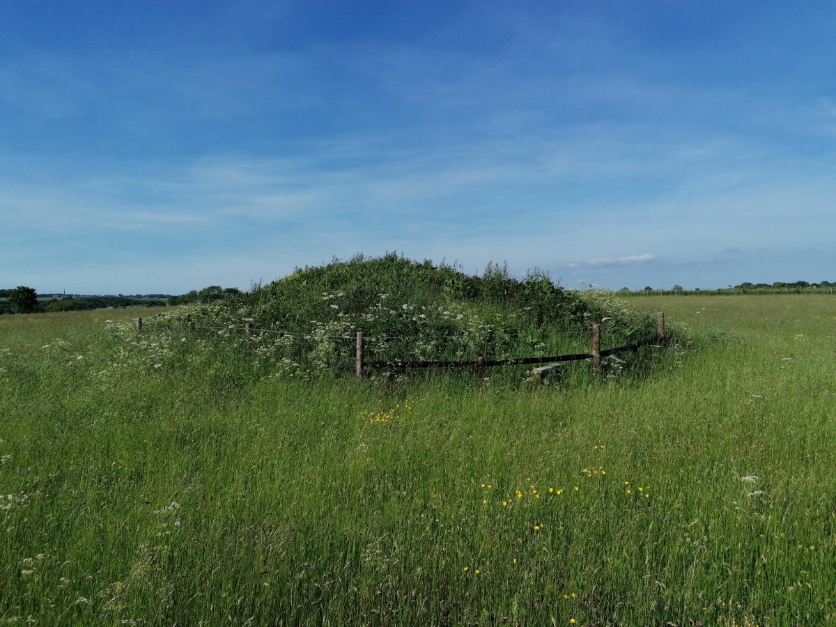
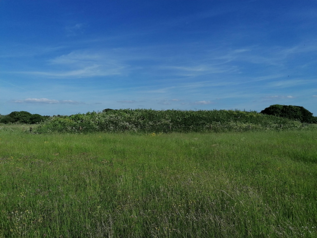
TheCaptain visited on 8th Jun 2021 - their rating: Cond: 3 Amb: 3 Access: 4 I revisited this barrow June 2021 to see what sort of state it is now in. All shorn of the trees a decade ago, all we have now is an elongated mound in the field, but it is at least fenced off for protection.
steerroger visited on 11th Feb 2020 - their rating: Cond: 2 Amb: 4 Access: 4 Has had a bit of care and attention.
TheCaptain visited on 7th Aug 2015 - their rating: Cond: 2 Amb: 3 Access: 4 I revisited this barrow August 2015 to see what sort of state it is now in. What a disappointment and disgrace. The poor thinghas been shorn of all growth on it and looks to be much smaller than the pictures of 4clydesdale7 from 2011. It's no doubt slowly (or rapidly on a longbarrow lifespan timescale) just becoming a part of the field here and will soon be all gone.
4clydesdale7 visited on 29th May 2011 - their rating: Cond: 2 Amb: 3 Access: 4 On its last legs - recent what seems to be destructive work
SolarMegalith visited on 23rd Jun 2010 - their rating: Cond: 2 Amb: 3 Access: 4
TheCaptain visited on 8th Mar 2009 - their rating: Cond: 3 Amb: 3 Access: 5 Looking in much better condition than in the past, the surrounding field is still pasture, and has a new fence around it. There is now a little parking area beside the little lane, and a gate through which you can walk to go visit the barrow.
TheCaptain visited on 26th Mar 2006 I revisited this barrow March 2006. The field it is in has now been fenced, and a gate with parking area situated near to the barrow. The field is no longer ploughed, and looks to be made ready for livestock. The rubbish which was piled on top of the barrow has been cleared and it all looks nicely tidied up. Pity that so much of it has been recently lost to the surrounding field, but things look less bleak for the barrow. I saw no signs of any chambers.
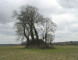
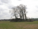
TheCaptain visited on 28th Mar 2004 - their rating: Cond: 2 Amb: 2 Access: 4 I visited this barrow this afternoon. Its getting in a very poor state. The ploughed field surrounding it is eating away at the mound. The most recent ploughing must have taken a couple of feet from each end, with all the stones which formerly made up the mound being scattered across the field. And there is the remains of a massive dead tree which has died and pulled down lots more stone along one edge. I saw no sign of any chamber, but it was all covered with vegetation and rubble thrown onto it.
hamish have visited here
Average ratings for this site from all visit loggers: Condition: 2.29 Ambience: 3 Access: 4.14
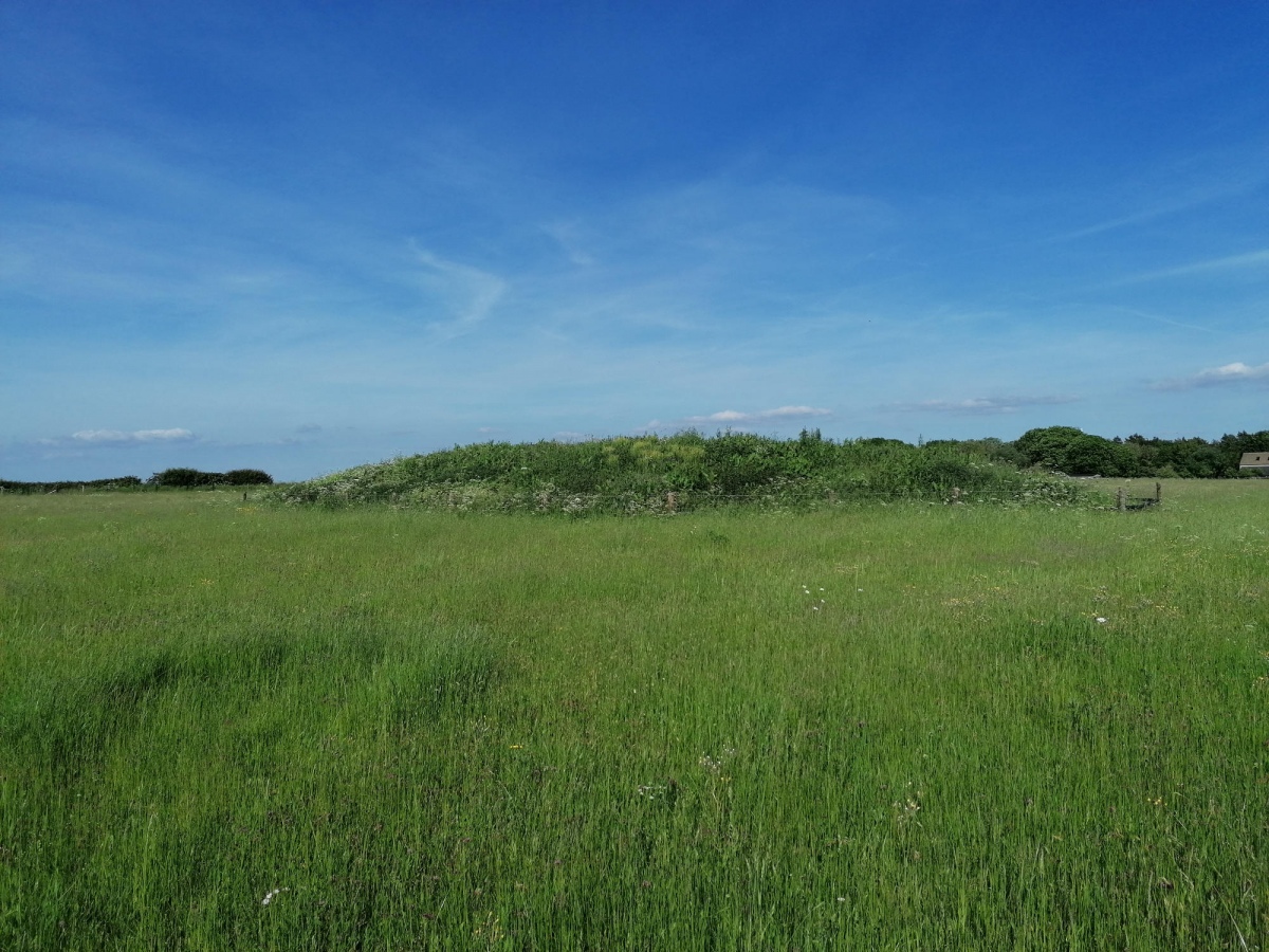
The longbarrow remains are now shorn of all trees and tidied up, having previously been covered with trees, some old and falling, and much of the barrow has been ploughed out into the adjacent field.
It was said to have been surrounded by a dry-stone wall, but this is not readily apparent, and the edges these days are probably just part of the original stone built interior, where the ploughing has cut into it.
It is possible that the barrow contained a chambered tomb, but there are no obvious remains of this to be seen under the growth which now covers the top of the mound.
In the field to the north is the remains of a round barrow.
You may be viewing yesterday's version of this page. To see the most up to date information please register for a free account.




Do not use the above information on other web sites or publications without permission of the contributor.
Click here to see more info for this site
Nearby sites
Key: Red: member's photo, Blue: 3rd party photo, Yellow: other image, Green: no photo - please go there and take one, Grey: site destroyed
Download sites to:
KML (Google Earth)
GPX (GPS waypoints)
CSV (Garmin/Navman)
CSV (Excel)
To unlock full downloads you need to sign up as a Contributory Member. Otherwise downloads are limited to 50 sites.
Turn off the page maps and other distractions
Nearby sites listing. In the following links * = Image available
354m NE 40° Upper Kilcott Round Barrow* Round Barrow(s) (ST79638819)
1.4km E 99° Tump Barn Round Barrow* Round Barrow(s) (ST80758770)
1.7km NNE 32° Nan Tow's Tump* Round Barrow(s) (ST80288932)
2.7km WSW 254° Hawkesbury Knoll* Long Barrow (ST76838722)
2.8km WSW 249° Hawkesbury Well Holy Well or Sacred Spring (ST7677586931)
2.9km E 99° Didmarton Cross* Ancient Cross (ST8223887460)
2.9km E 98° St Lawrences Well* Holy Well or Sacred Spring (ST82258749)
3.3km ENE 57° Parkwood Farm* Round Barrow(s) (ST822897)
4.2km NE 36° Leighterton Long Barrow* Long Barrow (ST81929131)
4.6km SW 220° Horton Camp* Hillfort (ST76438436)
4.8km SSW 193° Grickstone Farm* Chambered Tomb (ST78278327)
5.1km NNE 29° Boxwell Lodge* Chambered Tomb (ST819924)
5.2km NNE 25° St. Mary's Well (Boxwell)* Holy Well or Sacred Spring (ST816926)
5.4km SSW 198° The Grickstone* Standing Stone (Menhir) (ST77698281)
5.6km SSE 152° Giant's Caves* Chambered Cairn (ST81998297)
5.6km NNW 340° Blackquarries Hill* Chambered Tomb (ST77529323)
5.6km SE 125° Hancock's Well Holy Well or Sacred Spring (ST8403684687)
5.7km SSE 152° Luckington II* Chambered Tomb (ST82108284)
6.0km NNE 17° Brock Hill Round Barrow(s) (ST81219363)
6.3km SSW 212° Old Sodbury* Hillfort (ST76088258)
6.6km NE 51° Bowldownwood Round Barrows* Round Barrow(s) (ST84569205)
7.0km NNE 15° Kingscote Standing Stones* Standing Stones (ST81189467)
7.1km NE 39° Beverston Barrow 1* Round Barrow(s) (ST83949344)
8.1km N 2° Symonds Hall Farm* Long Barrow (ST79719599)
8.4km NW 326° Brackenbury Ditches* Promontory Fort / Cliff Castle (ST74709485)
View more nearby sites and additional images


 We would like to know more about this location. Please feel free to add a brief description and any relevant information in your own language.
 Wir möchten mehr über diese Stätte erfahren. Bitte zögern Sie nicht, eine kurze Beschreibung und relevante Informationen in Deutsch hinzuzufügen.
 Nous aimerions en savoir encore un peu sur les lieux. S'il vous plaît n'hesitez pas à ajouter une courte description et tous les renseignements pertinents dans votre propre langue.
 Quisieramos informarnos un poco más de las lugares. No dude en añadir una breve descripción y otros datos relevantes en su propio idioma.